<< Our Photo Pages >> Trowlesworthy West row - Stone Row / Alignment in England in Devon
Submitted by TheCaptain on Monday, 30 September 2002 Page Views: 6483
Neolithic and Bronze AgeSite Name: Trowlesworthy West row Alternative Name: Trowlesworthy 2Country: England County: Devon Type: Stone Row / Alignment
Nearest Town: Plymouth
Map Ref: SX57466397 Landranger Map Number: 202
Latitude: 50.458196N Longitude: 4.009443W
Condition:
| 5 | Perfect |
| 4 | Almost Perfect |
| 3 | Reasonable but with some damage |
| 2 | Ruined but still recognisable as an ancient site |
| 1 | Pretty much destroyed, possibly visible as crop marks |
| 0 | No data. |
| -1 | Completely destroyed |
| 5 | Superb |
| 4 | Good |
| 3 | Ordinary |
| 2 | Not Good |
| 1 | Awful |
| 0 | No data. |
| 5 | Can be driven to, probably with disabled access |
| 4 | Short walk on a footpath |
| 3 | Requiring a bit more of a walk |
| 2 | A long walk |
| 1 | In the middle of nowhere, a nightmare to find |
| 0 | No data. |
| 5 | co-ordinates taken by GPS or official recorded co-ordinates |
| 4 | co-ordinates scaled from a detailed map |
| 3 | co-ordinates scaled from a bad map |
| 2 | co-ordinates of the nearest village |
| 1 | co-ordinates of the nearest town |
| 0 | no data |
Internal Links:
External Links:
I have visited· I would like to visit
Catrinm visited on 10th Dec 2023 - their rating: Cond: 3 Amb: 4 Access: 3 The Trowlesworthy sites are well worth a visit, though rarely are - park where the road ends car park (not marked on map) and walk round by the small pond. Beautiful rows with large stones frorDartmoor . West is a single row leading from ring cairn and fairy large stones closely placed together, with large blocking stone. December 2023
Catrinm visited on 10th Dec 2023 - their rating: Cond: 4 Amb: 5 Access: 3 Impressive double row which crosses the leat . Well worth a visit
Catrinm visited on 29th Jan 2022 - their rating: Cond: 4 Access: 4
SandyG visited on 16th May 2015 - their rating: Cond: 4 Amb: 4 Access: 3 Car parking is available at SX 57055 63069. From here take the track leading north east which follows the northern edge of the Whitehill Yeo china clay pit. Follow this track to SX 57717 63693 then head north alongside the leat for about 280m at which point Trowlesworthy Row 1 will be reached. Trowlesworthy Row 2 is a short distance further on below the leat.
TheCaptain have visited here
Average ratings for this site from all visit loggers: Condition: 3.75 Ambience: 4.33 Access: 3.25
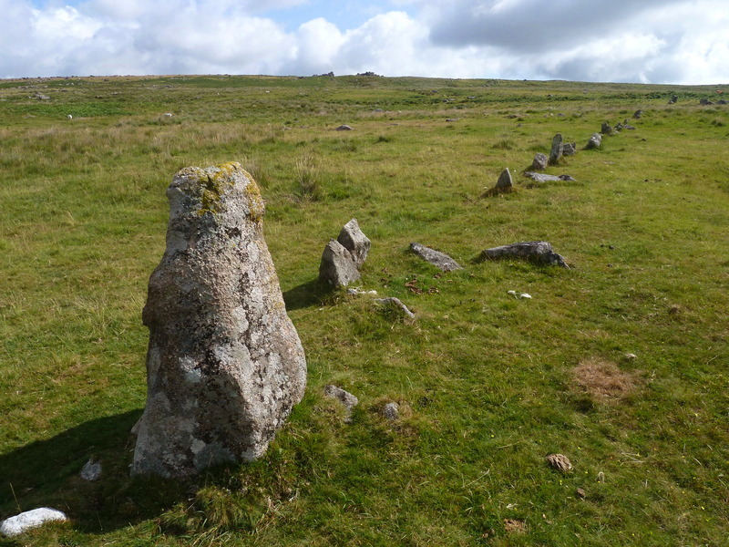
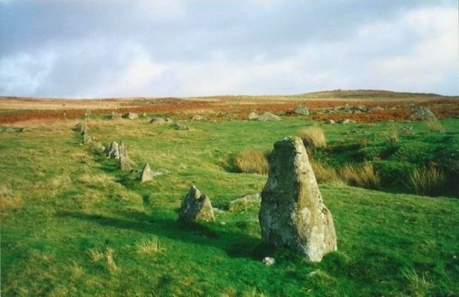
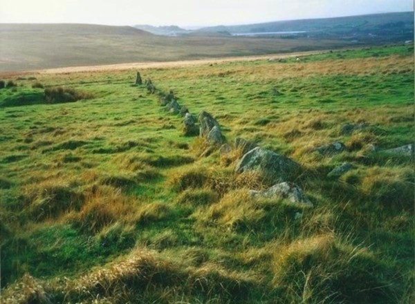
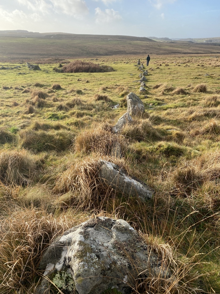
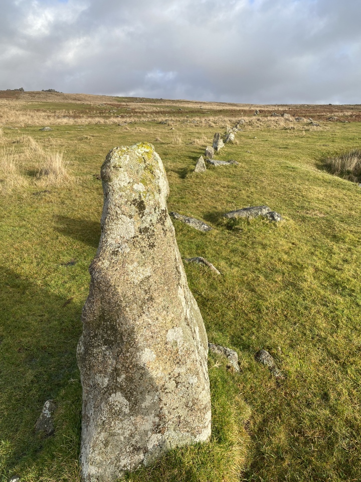
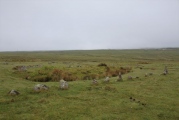
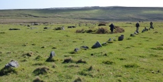
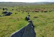
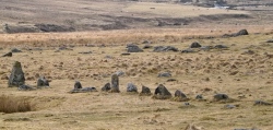
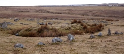
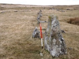
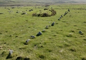
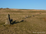
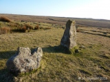
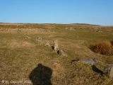
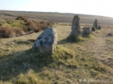
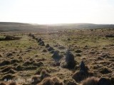
The western of the two rows is a single row which runs away downhill in a westerly direction from its cairn and circle for a total length of 82 metres. A total of 44 stones still remain in the row, of an original total of probably about 50. The row is far from straight, curving towards the south as it progresses towards its large end stone, a 1.3 m high triangular block.
Unusually, some of the stones of the row are set across the row, rather than along it, although this may be due to difficulty in erecting the stones in the rocky ground.
Just a few metres from the southern end of the row is a large "bury" or "pillow mound" which is part of the Trowlesworthy Warren, which has remarkably been constructed without damaging the stone row. A little further away is a circular enclosure.
Update August 2019: This stone row is featured on the Prehistoric Dartmoor Walks (PDW) website - see their entry for the Trowlesworthy W. Stone Row.
The row is also recorded as Pastscape Monument No. 439148 and scheduled as part of Historic England List ID 1016147 (A stone alignment, kerbed cairn, prehistoric settlement, four pillow mounds, a vermin trap and animal runs 720m south west of Great Trowlesworthy Tor).
The row also has an entry on the Devon and Dartmoor HER: MDV2415 (Stone Row 550 metres south-west of Great Trowlesworthy Tor).
The Stone Rows of Great Britain also includes a page for this site - see their entry for Trowlesworthy 2, which includes a description, a plan of the row and its associated cairn, photographs, and access information.
You may be viewing yesterday's version of this page. To see the most up to date information please register for a free account.




These are just the first 25 photos of Trowlesworthy West row. If you log in with a free user account you will be able to see our entire collection.
Do not use the above information on other web sites or publications without permission of the contributor.
Click here to see more info for this site
Nearby sites
Key: Red: member's photo, Blue: 3rd party photo, Yellow: other image, Green: no photo - please go there and take one, Grey: site destroyed
Download sites to:
KML (Google Earth)
GPX (GPS waypoints)
CSV (Garmin/Navman)
CSV (Excel)
To unlock full downloads you need to sign up as a Contributory Member. Otherwise downloads are limited to 50 sites.
Turn off the page maps and other distractions
Nearby sites listing. In the following links * = Image available
42m SW 223° Trowlesworthy West enclosure* Ring Cairn (SX57436394)
90m E 82° Trowlesworthy West circle* Stone Circle (SX57556398)
156m ESE 115° Trowlesworthy* Barrow Cemetery (SX57606390)
190m E 85° Trowlesworthy East circle* Stone Circle (SX57656398)
212m SE 130° Trowlesworthy East row* Multiple Stone Rows / Avenue (SX57626383)
482m N 3° Trowlesworthy Tor settlement* Ancient Village or Settlement (SX57506445)
570m N 357° Trowlesworthy Tor north settlement* Ancient Village or Settlement (SX5745064540)
857m NNW 337° Trowlesworthy Warren Cairn (SX57156477)
941m ESE 106° Lee Moor South* Stone Row / Alignment (SX5835963682)
944m ESE 104° Hanging Stone (Lee Moor)* Standing Stone (Menhir) (SX58376371)
1.2km ENE 64° Upper Spanish Lake* Cist (SX58546445)
1.3km ESE 110° Shell Top Chambered Cairn* Cairn (SX58666349)
1.3km ESE 119° Lee Moor Settlement* Ancient Village or Settlement (SX586633)
1.3km NW 319° Shadyback Tor settlement* Ancient Village or Settlement (SX566650)
1.4km NNW 347° Legis Tor Enclosures* Ancient Village or Settlement (SX572653)
1.4km NNE 29° Willing Walls Warren Ring Cairn Ring Cairn (SX58186517)
1.4km NNE 30° Willing Walls Reave Ring Cairn (SX58226520)
1.5km NNE 31° Willing Walls Warren Cairn Circle* Cairn (SX5826665227)
1.5km N 3° Legis Tor Ossuary* Cist (SX5757365470)
1.5km N 356° Legis Tor Cairns* Cist (SX57396548)
1.6km N 360° Legis Tor East* Cairn (SX57496554)
1.6km NNE 29° Lee Moor (Willings Walls) Cist* Cist (SX58286534)
1.8km WSW 243° Saddlesborough Ring Cairn (SX55876321)
1.8km NNW 328° Ringmoor Down Cairn 1* Cairn (SX56566549)
1.8km NW 325° Brisworthy* Stone Circle (SX5646765489)
View more nearby sites and additional images


 We would like to know more about this location. Please feel free to add a brief description and any relevant information in your own language.
 Wir möchten mehr über diese Stätte erfahren. Bitte zögern Sie nicht, eine kurze Beschreibung und relevante Informationen in Deutsch hinzuzufügen.
 Nous aimerions en savoir encore un peu sur les lieux. S'il vous plaît n'hesitez pas à ajouter une courte description et tous les renseignements pertinents dans votre propre langue.
 Quisieramos informarnos un poco más de las lugares. No dude en añadir una breve descripción y otros datos relevantes en su propio idioma.