<< Our Photo Pages >> Trowlesworthy - Barrow Cemetery in England in Devon
Submitted by ernar on Wednesday, 13 October 2004 Page Views: 7874
Neolithic and Bronze AgeSite Name: Trowlesworthy Alternative Name: Trowlesworthy Stone CircleCountry: England County: Devon Type: Barrow Cemetery
Nearest Town: Okehampton Nearest Village: Yelverton
Map Ref: SX57606390
Latitude: 50.457601N Longitude: 4.007445W
Condition:
| 5 | Perfect |
| 4 | Almost Perfect |
| 3 | Reasonable but with some damage |
| 2 | Ruined but still recognisable as an ancient site |
| 1 | Pretty much destroyed, possibly visible as crop marks |
| 0 | No data. |
| -1 | Completely destroyed |
| 5 | Superb |
| 4 | Good |
| 3 | Ordinary |
| 2 | Not Good |
| 1 | Awful |
| 0 | No data. |
| 5 | Can be driven to, probably with disabled access |
| 4 | Short walk on a footpath |
| 3 | Requiring a bit more of a walk |
| 2 | A long walk |
| 1 | In the middle of nowhere, a nightmare to find |
| 0 | No data. |
| 5 | co-ordinates taken by GPS or official recorded co-ordinates |
| 4 | co-ordinates scaled from a detailed map |
| 3 | co-ordinates scaled from a bad map |
| 2 | co-ordinates of the nearest village |
| 1 | co-ordinates of the nearest town |
| 0 | no data |
Internal Links:
External Links:
I have visited· I would like to visit
graemefield would like to visit
SandyG visited on 16th May 2015 - their rating: Cond: 4 Amb: 4 Access: 3 Car parking is available at SX 57055 63069. From here take the track leading north east which follows the northern edge of the Whitehill Yeo china clay pit. Follow this track to SX 57717 63693 then head north alongside the leat for about 280m at which point Trowlesworthy Row 1 will be reached. Trowlesworthy Row 2 is a short distance further on below the leat.
AngieLake cazzyjane have visited here
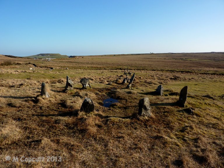
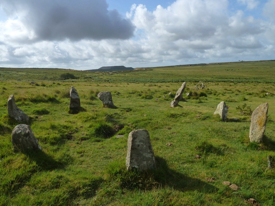
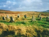
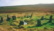
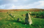
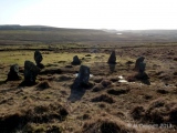
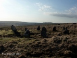
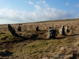
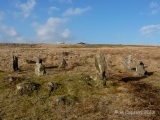
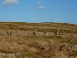
The Trowlesworthy complex features many interesting elements including:
- Eastern Stone Ring + Stone Row
- Western Stone Ring + Stone Row
- One cairn ring
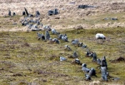
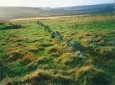
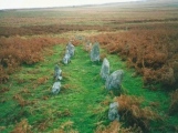
The Western structure is formed by a combination of a Stone Ring (again, my bet would be Cairn kerbstones) and an 80m Stone Row pointing W (270º)
Close to the end of the Stone Alignment there is a wedge-shaped formation of 4 mounds that I initially mistook for Long Barrows. These point WSW and are Pillow Mounds from an old warrening. In the midst of this formation you can find a circular structure of what looks like a ruined Cairn.
Nearby are the remains of many ancient settlements with hut circles and enclosures.
You may be viewing yesterday's version of this page. To see the most up to date information please register for a free account.









These are just the first 25 photos of Trowlesworthy. If you log in with a free user account you will be able to see our entire collection.
Do not use the above information on other web sites or publications without permission of the contributor.
Click here to see more info for this site
Nearby sites
Key: Red: member's photo, Blue: 3rd party photo, Yellow: other image, Green: no photo - please go there and take one, Grey: site destroyed
Download sites to:
KML (Google Earth)
GPX (GPS waypoints)
CSV (Garmin/Navman)
CSV (Excel)
To unlock full downloads you need to sign up as a Contributory Member. Otherwise downloads are limited to 50 sites.
Turn off the page maps and other distractions
Nearby sites listing. In the following links * = Image available
73m SSE 163° Trowlesworthy East row* Multiple Stone Rows / Avenue (SX57626383)
94m NNW 327° Trowlesworthy West circle* Stone Circle (SX57556398)
94m NNE 30° Trowlesworthy East circle* Stone Circle (SX57656398)
156m WNW 295° Trowlesworthy West row* Stone Row / Alignment (SX57466397)
174m WNW 282° Trowlesworthy West enclosure* Ring Cairn (SX57436394)
559m NNW 348° Trowlesworthy Tor settlement* Ancient Village or Settlement (SX57506445)
657m NNW 345° Trowlesworthy Tor north settlement* Ancient Village or Settlement (SX5745064540)
787m ESE 105° Lee Moor South* Stone Row / Alignment (SX5835963682)
791m ESE 102° Hanging Stone (Lee Moor)* Standing Stone (Menhir) (SX58376371)
979m NNW 331° Trowlesworthy Warren Cairn (SX57156477)
1.1km ENE 58° Upper Spanish Lake* Cist (SX58546445)
1.1km ESE 110° Shell Top Chambered Cairn* Cairn (SX58666349)
1.2km ESE 119° Lee Moor Settlement* Ancient Village or Settlement (SX586633)
1.4km NNE 23° Willing Walls Warren Ring Cairn Ring Cairn (SX58186517)
1.4km NNE 24° Willing Walls Reave Ring Cairn (SX58226520)
1.5km NNW 343° Legis Tor Enclosures* Ancient Village or Settlement (SX572653)
1.5km NNE 25° Willing Walls Warren Cairn Circle* Cairn (SX5826665227)
1.5km NW 316° Shadyback Tor settlement* Ancient Village or Settlement (SX566650)
1.6km N 357° Legis Tor Ossuary* Cist (SX5757365470)
1.6km NNE 24° Lee Moor (Willings Walls) Cist* Cist (SX58286534)
1.6km N 351° Legis Tor Cairns* Cist (SX57396548)
1.6km N 355° Legis Tor East* Cairn (SX57496554)
1.8km ESE 103° Shell Top South West* Ancient Village or Settlement (SX59386344)
1.8km SSE 149° Cholwichtown stone row* Stone Row / Alignment (SX585623)
1.9km WSW 247° Saddlesborough Ring Cairn (SX55876321)
View more nearby sites and additional images


 We would like to know more about this location. Please feel free to add a brief description and any relevant information in your own language.
 Wir möchten mehr über diese Stätte erfahren. Bitte zögern Sie nicht, eine kurze Beschreibung und relevante Informationen in Deutsch hinzuzufügen.
 Nous aimerions en savoir encore un peu sur les lieux. S'il vous plaît n'hesitez pas à ajouter une courte description et tous les renseignements pertinents dans votre propre langue.
 Quisieramos informarnos un poco más de las lugares. No dude en añadir una breve descripción y otros datos relevantes en su propio idioma.