<< Our Photo Pages >> Sittaford Stone Circle - Stone Circle in England in Devon
Submitted by davep on Thursday, 30 April 2015 Page Views: 23531
Neolithic and Bronze AgeSite Name: Sittaford Stone CircleCountry: England County: Devon Type: Stone Circle
Nearest Town: Princetown Nearest Village: Postbridge
Map Ref: SX63018281
Latitude: 50.628850N Longitude: 3.938235W
Condition:
| 5 | Perfect |
| 4 | Almost Perfect |
| 3 | Reasonable but with some damage |
| 2 | Ruined but still recognisable as an ancient site |
| 1 | Pretty much destroyed, possibly visible as crop marks |
| 0 | No data. |
| -1 | Completely destroyed |
| 5 | Superb |
| 4 | Good |
| 3 | Ordinary |
| 2 | Not Good |
| 1 | Awful |
| 0 | No data. |
| 5 | Can be driven to, probably with disabled access |
| 4 | Short walk on a footpath |
| 3 | Requiring a bit more of a walk |
| 2 | A long walk |
| 1 | In the middle of nowhere, a nightmare to find |
| 0 | No data. |
| 5 | co-ordinates taken by GPS or official recorded co-ordinates |
| 4 | co-ordinates scaled from a detailed map |
| 3 | co-ordinates scaled from a bad map |
| 2 | co-ordinates of the nearest village |
| 1 | co-ordinates of the nearest town |
| 0 | no data |
Internal Links:
External Links:
I have visited· I would like to visit
Catrinm visited on 27th May 2024 - their rating: Cond: 2 Amb: 4 Access: 2 Finally got here
graemefield visited on 3rd Jun 2022 - their rating: Cond: 3 Amb: 4 Access: 2
Reava visited on 13th Mar 2018 - their rating: Cond: 2 Amb: 4 Access: 2
TheCaptain visited on 11th Jun 2014 - their rating: Cond: 2 Amb: 5 Access: 2 With the weather turned nice, I took a day off work to walk out to the newly found Sittaford Tor stone circle, starting out from Fernworthy Reservoir. Having planned the trip in advance, so knowing where to look, the circle was very easy to find, although very wet and boggy. All of the stones have been dug around so they are no longer buried in the mire. Excellent.
davep visited on 24th May 2014 - their rating: Cond: 2 Amb: 4 Access: 2
Average ratings for this site from all visit loggers: Condition: 2.2 Ambience: 4.2 Access: 2
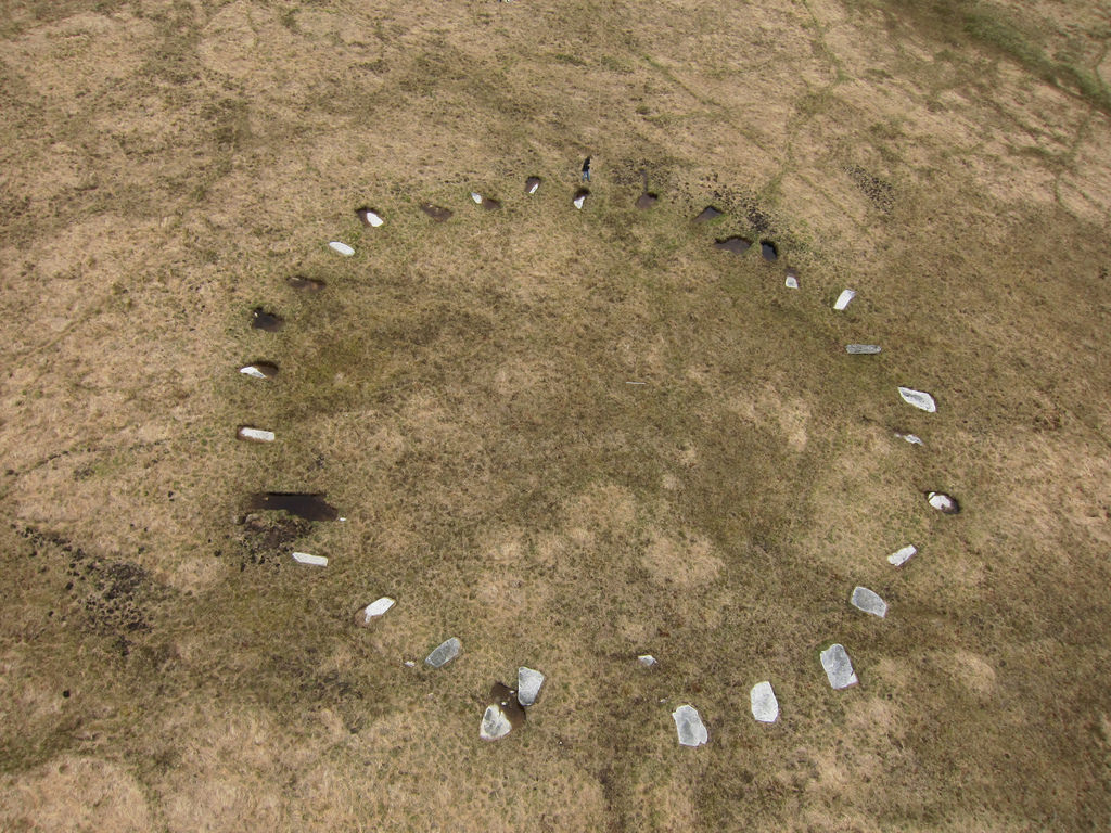
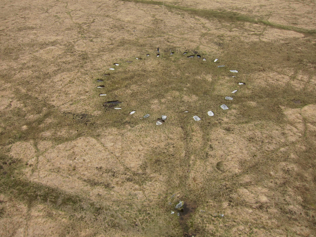
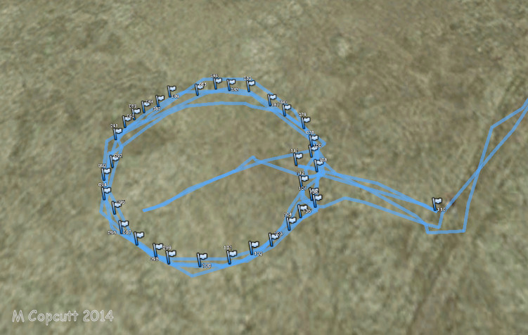
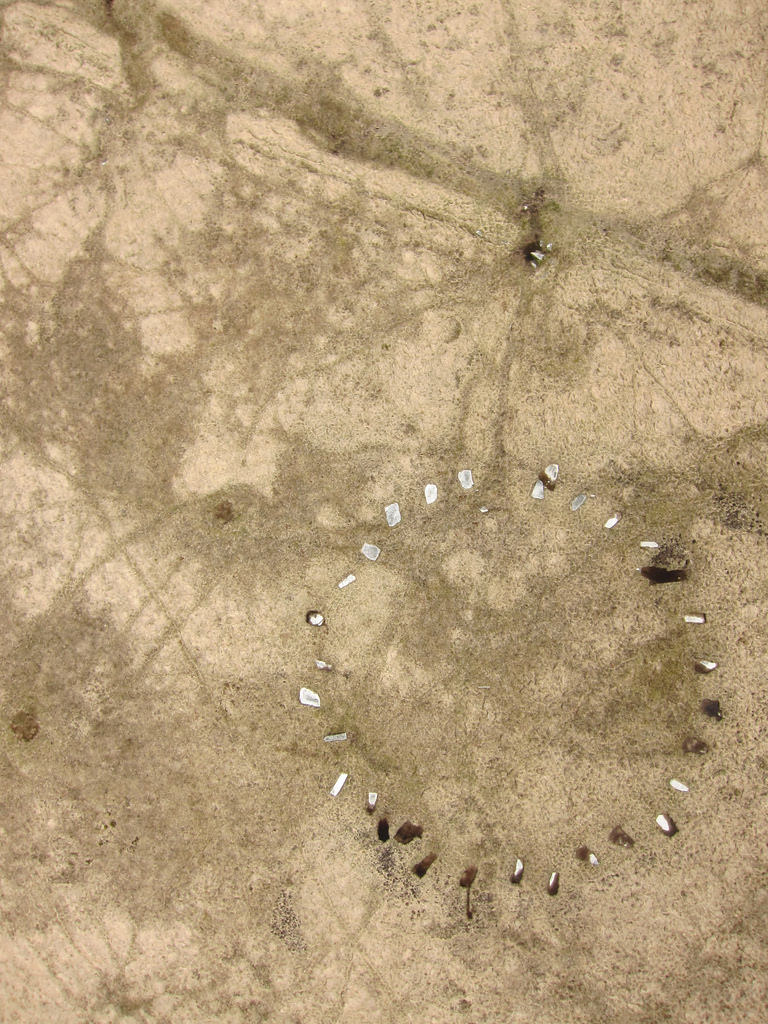
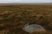
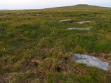
The Grey Wethers is close by situated 1km ENE. The newly discovered circle consists of 30 recumbent stones with a diameter of 32m. It is reckoned, assuming these stones were once standing, that it would have had a very similar appearance to the circles in the Grey Wethers. For those with local knowledge the site is almost 2km due North of the waterfall north of Postbridge and about 300m SW of Sittaford Tor.
There were 7 (now 8) stone circles (Grey Wethers being two of them) on the north-eastern perimeter of Dartmoor which appeared to create a crescent or arc shape. remarkably this circle looks like someone continued that arc! I have put them on a map, Sittaford is in Blue. See:
Map of Dartmoor Stone Circles Showing Arc
I have updated my own pages on Dartmoor Stone Circles with this, see: Prehistoric Dartmoor Walks: Guide to Dartmoor Stone Circles.
Update December 2019: Also see Prehistoric Dartmoor Walks (PDW) entry for the Sittaford Stone Circle. There is no entry on Pastscape for this circle, but it is recorded on the Devon and Dartmoor HER; see: MDV110432 (Sittaford Stone Circle, Dartmoor Forest).
Note: "Archaeologists explore newly discovered Dartmoor stone circle." See latest update from Dartmoor National Park here.
You may be viewing yesterday's version of this page. To see the most up to date information please register for a free account.

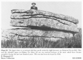
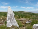
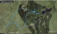

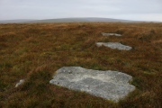





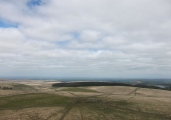
These are just the first 25 photos of Sittaford Stone Circle. If you log in with a free user account you will be able to see our entire collection.
Do not use the above information on other web sites or publications without permission of the contributor.
Click here to see more info for this site
Nearby sites
Key: Red: member's photo, Blue: 3rd party photo, Yellow: other image, Green: no photo - please go there and take one, Grey: site destroyed
Download sites to:
KML (Google Earth)
GPX (GPS waypoints)
CSV (Garmin/Navman)
CSV (Excel)
To unlock full downloads you need to sign up as a Contributory Member. Otherwise downloads are limited to 50 sites.
Turn off the page maps and other distractions
Nearby sites listing. In the following links * = Image available
477m ESE 108° Sittaford Tor Cairn* Cairn (SX6346182650)
915m ENE 68° Grey Wethers.* Stone Circle (SX63878313)
1000m E 84° Sittaford Tor pound* Misc. Earthwork (SX64018288)
1.0km ESE 102° Sittaford Marsh Hut Circles* Ancient Village or Settlement (SX6402982560)
1.1km E 87° South Teignhead* Cairn (SX64088284)
1.2km E 96° White Ridge Standing Stone* Standing Stone (Menhir) (SX6416282653)
1.2km E 96° White Ridge pound* Ring Cairn (SX6416882656)
1.4km NW 317° Quintins Man Cairn (SX62098386)
1.6km SE 127° White Ridge SW settlements* Ancient Village or Settlement (SX64258181)
1.6km SE 144° Lade Hill Brook Beehive Hut* Ancient Mine, Quarry or other Industry (SX63938145)
1.6km SE 135° White Ridge SW cairn* Round Cairn (SX64158162)
2.0km ENE 60° Fernworthy settlement* Ancient Village or Settlement (SX6481183777)
2.1km ENE 60° Hemstone Rocks Platform Cairn Circle* Cairn (SX6485683806)
2.1km ESE 106° White Ridge cairn* Round Cairn (SX65028218)
2.1km ENE 59° Hemstone Rocks Ring Cairn and Cist* Cairn (SX6485283850)
2.3km NE 54° Froggymead Settlement* Ancient Village or Settlement (SX649841)
2.7km ESE 116° White Ridge stone row* Stone Row / Alignment (SX65408156)
2.7km SSE 164° Broadun Ring* Ancient Village or Settlement (SX6369980178)
2.8km ENE 61° Fernworthy Cairn SW* Cairn (SX65478410)
2.8km ENE 62° Fernworthy Cairn 4* Cairn (SX65518403)
2.8km ENE 62° Fernworthy stone row SE* Stone Row / Alignment (SX65498407)
2.8km ENE 61° Fernworthy* Multiple Stone Rows / Avenue (SX65488410)
2.8km ENE 61° Fernworthy stone row SW* Multiple Stone Rows / Avenue (SX6547984105)
2.8km ENE 61° Fernworthy Cairn SE* Cairn (SX65498409)
2.8km ENE 61° Fernworthy circle* Stone Circle (SX65488411)
View more nearby sites and additional images


 We would like to know more about this location. Please feel free to add a brief description and any relevant information in your own language.
 Wir möchten mehr über diese Stätte erfahren. Bitte zögern Sie nicht, eine kurze Beschreibung und relevante Informationen in Deutsch hinzuzufügen.
 Nous aimerions en savoir encore un peu sur les lieux. S'il vous plaît n'hesitez pas à ajouter une courte description et tous les renseignements pertinents dans votre propre langue.
 Quisieramos informarnos un poco más de las lugares. No dude en añadir una breve descripción y otros datos relevantes en su propio idioma.