

<< Our Photo Pages >> Black Tor (Meavy) - Multiple Stone Rows / Avenue in England in Devon
Submitted by Brian Byng on Sunday, 22 December 2013 Page Views: 12270
Neolithic and Bronze AgeSite Name: Black Tor (Meavy) Alternative Name: Stanlake stone row; Black Tor Stone Row (Stanlake)Country: England County: Devon Type: Multiple Stone Rows / Avenue
Nearest Town: Princetown
Map Ref: SX5710271463 Landranger Map Number: 202
Latitude: 50.525452N Longitude: 4.01735W
Condition:
| 5 | Perfect |
| 4 | Almost Perfect |
| 3 | Reasonable but with some damage |
| 2 | Ruined but still recognisable as an ancient site |
| 1 | Pretty much destroyed, possibly visible as crop marks |
| 0 | No data. |
| -1 | Completely destroyed |
| 5 | Superb |
| 4 | Good |
| 3 | Ordinary |
| 2 | Not Good |
| 1 | Awful |
| 0 | No data. |
| 5 | Can be driven to, probably with disabled access |
| 4 | Short walk on a footpath |
| 3 | Requiring a bit more of a walk |
| 2 | A long walk |
| 1 | In the middle of nowhere, a nightmare to find |
| 0 | No data. |
| 5 | co-ordinates taken by GPS or official recorded co-ordinates |
| 4 | co-ordinates scaled from a detailed map |
| 3 | co-ordinates scaled from a bad map |
| 2 | co-ordinates of the nearest village |
| 1 | co-ordinates of the nearest town |
| 0 | no data |
Internal Links:


External Links:


I have visited· I would like to visit
TheCaptain graemefield would like to visit
Catrinm visited on 14th Jan 2024 - their rating: Cond: 3 Amb: 4 Access: 3 Great row with some large stones for Dartmoor
Catrinm visited on 3rd Jul 2022 - their rating: Cond: 3 Amb: 3 Access: 3
Anne T visited on 14th May 2019 - their rating: Cond: 3 Amb: 4 Access: 4 Stanlake Stone Row (aka Black Tor): Our second stop of the afternoon, and our hope was that as we crossed the road and descended from the slopes that we'd be more sheltered from the wind. Not a chance! However, this did not spoil my enjoyment of the next few sites.
From the Leeden Tor stone row, we crossed the main road, ending up in what -after a spell of wet weather - would have been a boggy dip, but at the time of our visit was relatively dry. Even so trying to find a way across that I, and my wonky knees could manage, was a little amusing. Angie stopped to have her photographs taken against the Tors and woodland behind.
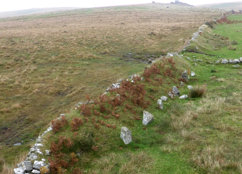
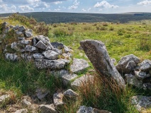
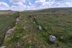
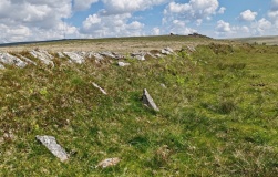
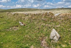
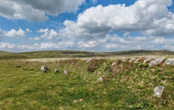
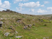
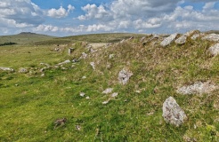
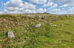
This double stone row is partly hidden by a dry stone wall/earthen bank, put up when the landowner enclosed his land, telling his workers to ‘enclose up to and including the stone row’ according to Sandy.
We had intended to come back and photograph this stone row on the way back, but because I couldn’t make it to the sites we'd planned to go to later in the afternoon because of the steep drops by the leat, we didn’t return this way.
SandyG visited on 20th Oct 2014 - their rating: Cond: 3 Amb: 4 Access: 4 Limited car parking is available at SX 56746 71434. Take care crossing the road then make your way across open moorland to the row.
lboutside have visited here
Average ratings for this site from all visit loggers: Condition: 3 Ambience: 3.75 Access: 3.5
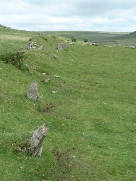
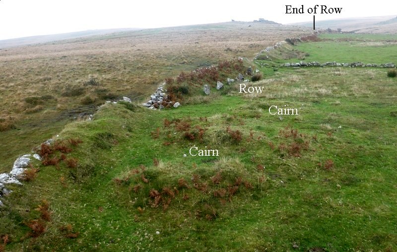
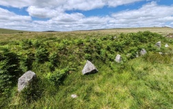
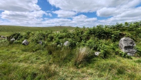
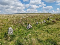
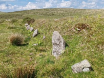
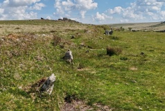
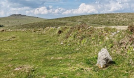
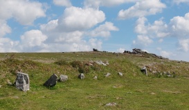
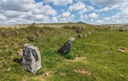
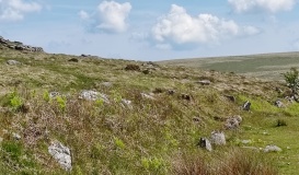
The row can be seen as three distinct parts, forming the whole. The northern part includes 39 stones forming a straight line. The central group of 8 stones is separated from the northern row by a 66.2m wide gap, whilst the southern group is on a slightly different alignment to the others
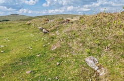
Many of the stones lie within the field boundary, although a small number are indeed freestanding confirming the interpretation of the feature as a row rather than an inner wall revetment. The row is unusual in that the blocking stone is at the upper end of the row and the cairns at the lower end. In all other examples within the valley there are cairns at the upper end, though some have other cairns close to the lower end.
The stone row lies east of the B3212 and lies mainly above the bracken so can, be visited at any time of year. The site is readily accessible from the B3212, and those traveling to the area by car can park at SX 560708 or in the smaller car park at SX 57507254.
This row is also recorded as Pastscape Monument No. 440127 and scheduled as Historic England List ID 1011255.
The Stone Rows of Great Britain also features a page for this stone row - see their entry for Black Tor (Stanlake). The SRoGB also tells us about the restricted sea views from this row - for more information, diagrams and photos see Sea Views at Stanlake (Black Tor).
Prehistoric Dartmoor Walks also includes a webpage for this row - see their webpage for the Black Tor (Stanlake) Stone Row.
There is also an excellent site report by Sandy Gerrard (published 1997), downloadable from Academia UK: Meavy Valley Archaeology: Site Report No. 4: Stanlake Prehistoric Stone Row.
You may be viewing yesterday's version of this page. To see the most up to date information please register for a free account.



These are just the first 25 photos of Black Tor (Meavy). If you log in with a free user account you will be able to see our entire collection.
Do not use the above information on other web sites or publications without permission of the contributor.
Click here to see more info for this site
All Nearby sites
 Click here to view sites on an interactive OS map
Download sites to:
KML (Google Earth)
GPX (GPS waypoints)
CSV (Garmin/Navman)
CSV (Excel)
To unlock full downloads you need to sign up as a Society Member. Otherwise downloads are limited to 50 sites.



Turn off the page maps and other distractions
Nearby sites listing. In the following links * = Image available
145m SW 229° Black Tor Stone Row Cairns (Stanlake)* Cairn (SX5699071370)
317m S 188° Stanlake Settlement* Ancient Village or Settlement (SX57057115)
382m NE 35° Black Tor Outcrop* Rock Outcrop (SX57337177)
490m ENE 67° Hart Tor SW Cairn* Cairn (SX57567164)
546m E 88° Raddick Hill North* Ancient Village or Settlement (SX57657147)
573m ENE 65° Hart Tor north rows* Multiple Stone Rows / Avenue (SX57637169)
578m W 270° Leeden Tor* Stone Row / Alignment (SX5652271474)
616m ENE 68° Hart Tor south row* Stone Row / Alignment (SX57687168)
619m SE 144° Raddick Hill South Settlement Ancient Village or Settlement (SX57457095)
655m ENE 66° Hart Tor North circle* Stone Circle (SX57717171)
660m ENE 67° Hart Tor South Terminal Cairn* Cairn (SX57727170)
863m ESE 122° Raddick Hill Cairns* Barrow Cemetery (SX57827098)
869m WSW 242° Leeden Settlement Ancient Village or Settlement (SX56327108)
879m ESE 109° Raddick Hill Cist* Cist (SX57937116)
917m SW 227° Stanlake Cist* Cist (SX5641670852)
964m SW 225° Sharpitor NE (2) Stone Row / Alignment (SX564708)
968m SW 232° Leeden Tor South Cairn* Cairn (SX56327089)
989m E 98° Cramber Cairn* Cairn (SX58087130)
1.1km W 259° Leeden Hill* Standing Stone (Menhir) (SX56017128)
1.1km ENE 60° Hart Tor.* Rock Outcrop (SX58107200)
1.2km SW 233° Sharpitor NE* Multiple Stone Rows / Avenue (SX5613670785)
1.2km S 188° Stan Lake Platform Cairn Circle Cairn (SX56917028)
1.2km SSE 160° Raddick Lane Cairn* Cairn (SX57507029)
1.3km SSE 150° Raddick Lane Settlement* Ancient Village or Settlement (SX57757029)
1.4km WNW 295° Ingra Tor Cist* Cairn (SX5587272083)
View more nearby sites and additional images


 We would like to know more about this location. Please feel free to add a brief description and any relevant information in your own language.
 Wir möchten mehr über diese Stätte erfahren. Bitte zögern Sie nicht, eine kurze Beschreibung und relevante Informationen in Deutsch hinzuzufügen.
 Nous aimerions en savoir encore un peu sur les lieux. S'il vous plaît n'hesitez pas à ajouter une courte description et tous les renseignements pertinents dans votre propre langue.
 Quisieramos informarnos un poco más de las lugares. No dude en añadir una breve descripción y otros datos relevantes en su propio idioma.