<< Our Photo Pages >> Hart Tor south row - Stone Row / Alignment in England in Devon
Submitted by Brian_Byng on Saturday, 09 October 2004 Page Views: 6126
Neolithic and Bronze AgeSite Name: Hart Tor south row Alternative Name: Hartor south; Butler Row 2; Hart Tor SouthCountry: England County: Devon Type: Stone Row / Alignment
Nearest Town: Princetown
Map Ref: SX57687168 Landranger Map Number: 202
Latitude: 50.527543N Longitude: 4.009284W
Condition:
| 5 | Perfect |
| 4 | Almost Perfect |
| 3 | Reasonable but with some damage |
| 2 | Ruined but still recognisable as an ancient site |
| 1 | Pretty much destroyed, possibly visible as crop marks |
| 0 | No data. |
| -1 | Completely destroyed |
| 5 | Superb |
| 4 | Good |
| 3 | Ordinary |
| 2 | Not Good |
| 1 | Awful |
| 0 | No data. |
| 5 | Can be driven to, probably with disabled access |
| 4 | Short walk on a footpath |
| 3 | Requiring a bit more of a walk |
| 2 | A long walk |
| 1 | In the middle of nowhere, a nightmare to find |
| 0 | No data. |
| 5 | co-ordinates taken by GPS or official recorded co-ordinates |
| 4 | co-ordinates scaled from a detailed map |
| 3 | co-ordinates scaled from a bad map |
| 2 | co-ordinates of the nearest village |
| 1 | co-ordinates of the nearest town |
| 0 | no data |
Internal Links:
External Links:
I have visited· I would like to visit
Catrinm visited on 14th Jan 2024 - their rating: Cond: 2 Amb: 3 Access: 3
graemefield visited on 18th May 2017 - their rating: Cond: 3 Amb: 4 Access: 3
SandyG visited on 20th Oct 2014 - their rating: Cond: 3 Amb: 4 Access: 3 Roadside car parking is available at SX 56985 71765. From here the row can be reached across open moorland. The row is situated about 600m to the east. The River Meavy needs to be crossed and it is usually possible to do this via a very narrow “footbridge”.
TheCaptain heidavey have visited here
Average ratings for this site from all visit loggers: Condition: 2.67 Ambience: 3.67 Access: 3
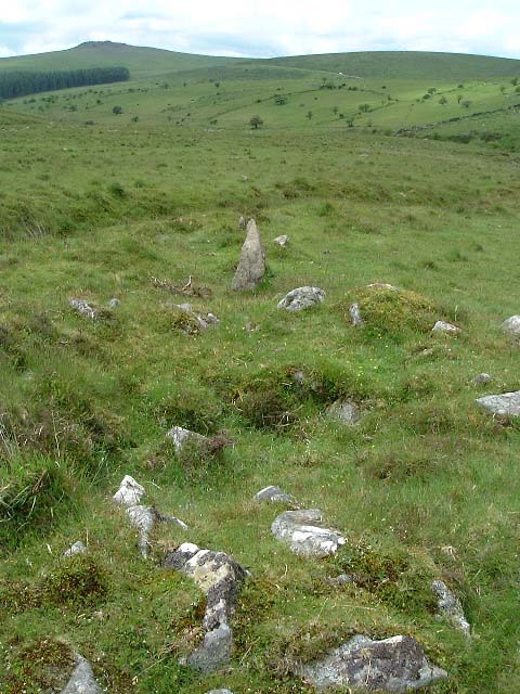
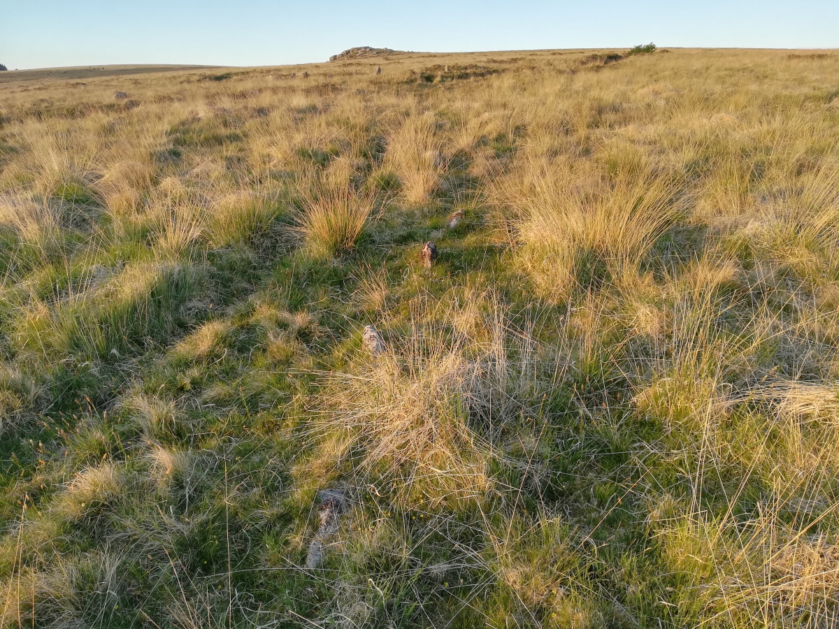
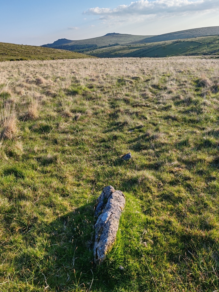
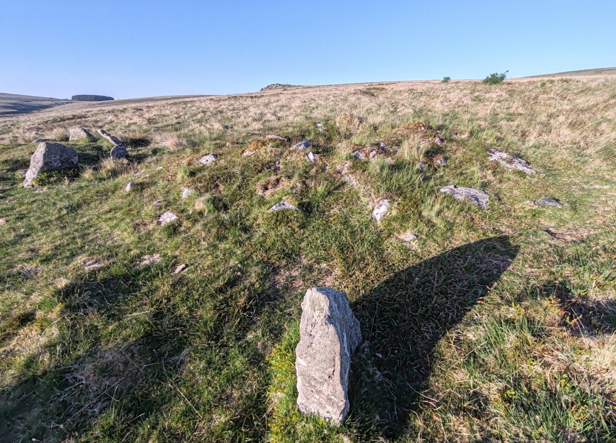
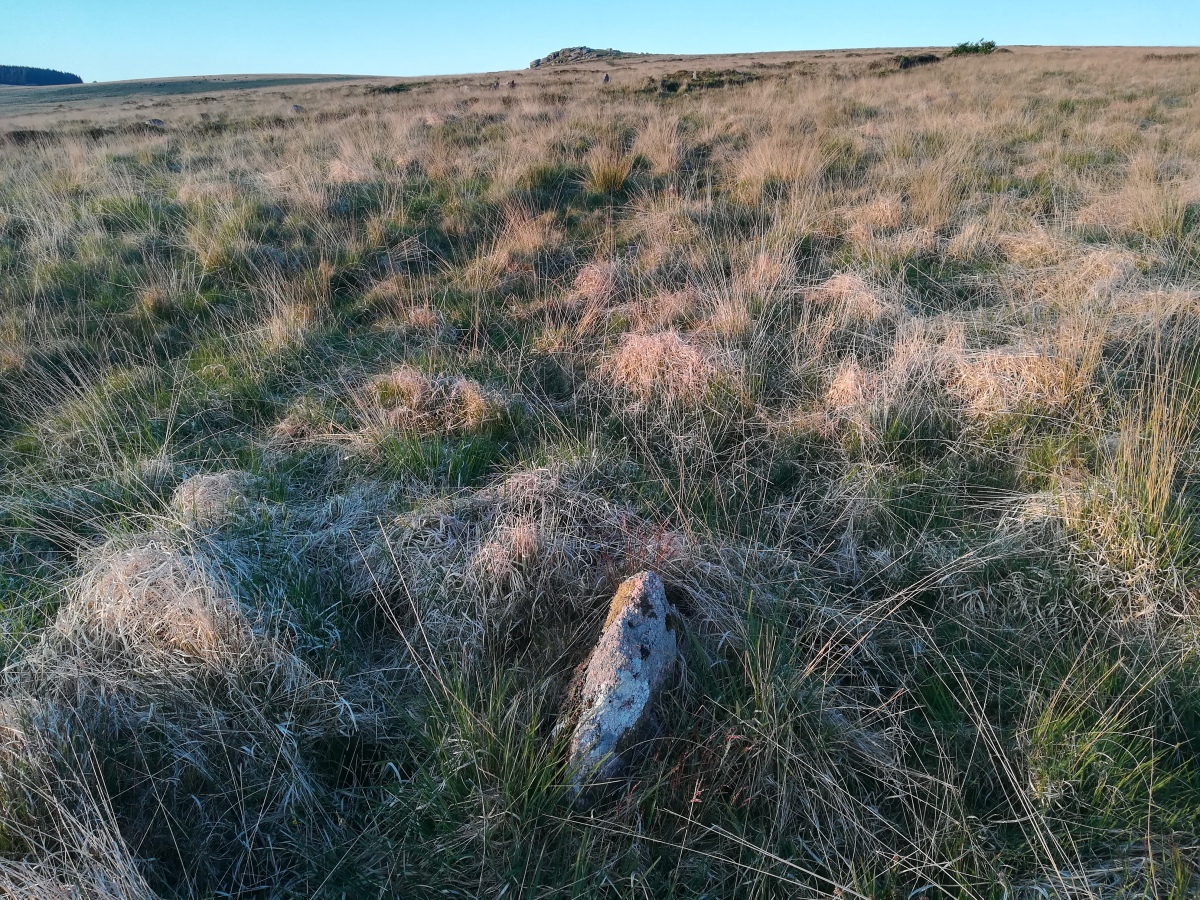
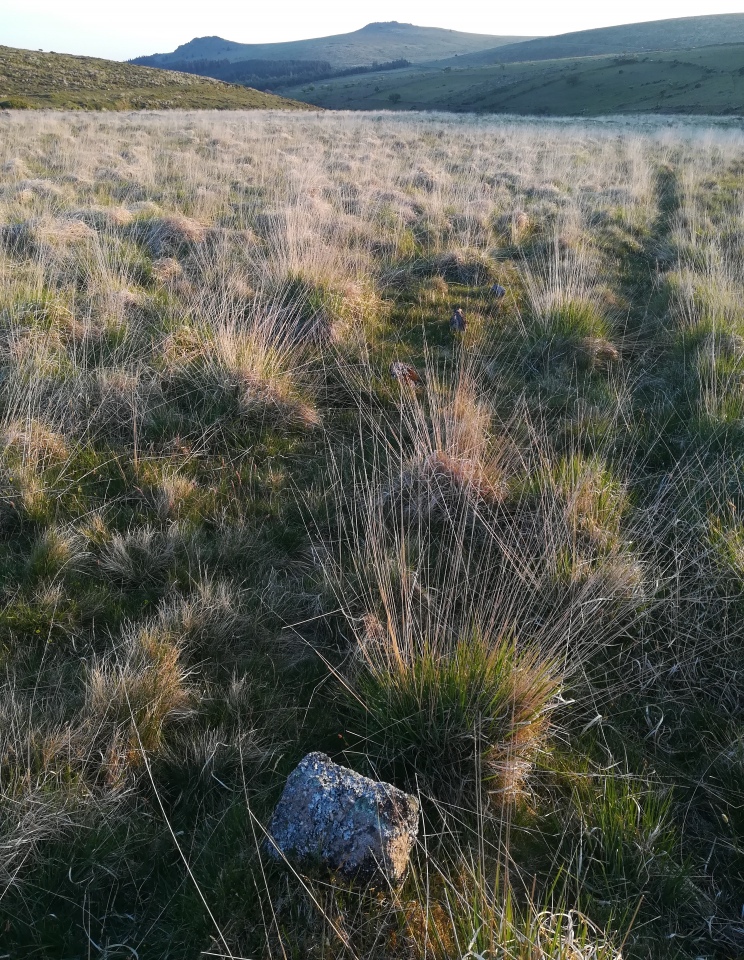
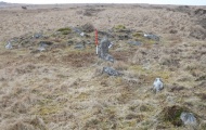
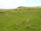
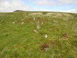
There are two stone rows at Hart Tor. Burl does list the Hart Tor double row in the gazeteer of his book but it is under the section headed Avenues! A double and a single row each originate from two of three cairns. The double row is in good condition except at the lower end where tinning works have cut into it. The double row SX 5770 7170 is 126 m long azimuth 76 & has about 80 surviving sones. The single row SX 5771 7169 is 61 m long az 60 & has 14 stones.
Update October 2019: This stone row is featured on the Prehistoric Dartmoor Walks (PDW) website - see their entries for the Hart Tor South Stone Row and the Hart Tor Stone Row & Cairn Circle, which tells us: "The single row consists of 16 stones and is 56.4m long, although Gerrard suggests it was probably once much longer. The single row leads to a cairn".
Both rows at Hart Tor are recorded as Pastscape Monument No. 440118, and this row as MV4895 (Southern row of Harter group, Walkhampton Common).
The alignment is also recorded on the Stone Rows of Great Britain website - see their entry for Hart Tor, South, which includes a description, photographs of the alignment and the individual stones, a plan of the Hart Tor alignments and their terminal cairns, plus access information and links to other online resources for more information.
The area generally is scheduled as Historic England List Entry No. 1020129 (Tinworks and other archaeological remains in the Meavy valley at Stanlake, Black Tor, Hart Tor and Cramber Tor). PDW also gives us links to Sandy Gerrard's (SandyG's)The Heritage Journal articles for more information: The Stone Rows and Cairns at Hart Tor, Dartmoor (Part One) and The Stone Rows and Cairns at Hart Tor, Dartmoor (Part Two).
You may be viewing yesterday's version of this page. To see the most up to date information please register for a free account.



Do not use the above information on other web sites or publications without permission of the contributor.
Click here to see more info for this site
Nearby sites
Key: Red: member's photo, Blue: 3rd party photo, Yellow: other image, Green: no photo - please go there and take one, Grey: site destroyed
Download sites to:
KML (Google Earth)
GPX (GPS waypoints)
CSV (Garmin/Navman)
CSV (Excel)
To unlock full downloads you need to sign up as a Contributory Member. Otherwise downloads are limited to 50 sites.
Turn off the page maps and other distractions
Nearby sites listing. In the following links * = Image available
42m NE 43° Hart Tor North circle* Stone Circle (SX57717171)
45m ENE 62° Hart Tor South Terminal Cairn* Cairn (SX57727170)
51m W 280° Hart Tor north rows* Multiple Stone Rows / Avenue (SX57637169)
126m WSW 250° Hart Tor SW Cairn* Cairn (SX57567164)
212m S 187° Raddick Hill North* Ancient Village or Settlement (SX57657147)
360m WNW 283° Black Tor Outcrop* Rock Outcrop (SX57337177)
551m SE 132° Cramber Cairn* Cairn (SX58087130)
577m SSE 153° Raddick Hill Cist* Cist (SX57937116)
616m WSW 248° Black Tor (Meavy)* Multiple Stone Rows / Avenue (SX5710271463)
714m SSE 167° Raddick Hill Cairns* Barrow Cemetery (SX57827098)
755m WSW 244° Black Tor Stone Row Cairns (Stanlake)* Cairn (SX5699071370)
822m SW 228° Stanlake Settlement* Ancient Village or Settlement (SX57057115)
933m NNE 31° Hart Tor North prehistoric settlement* Ancient Village or Settlement (SX5818572466)
1.1km NNE 25° Hart Tor North ring cairn* Ring Cairn (SX5819872694)
1.2km WSW 258° Leeden Tor* Stone Row / Alignment (SX5652271474)
1.4km S 176° Raddick Lane Settlement* Ancient Village or Settlement (SX57757029)
1.4km S 186° Raddick Lane Cairn* Cairn (SX57507029)
1.4km N 359° Meavy Head Settlement Ancient Village or Settlement (SX577731)
1.5km SSE 150° Crazy Well Cross* Ancient Cross (SX58387039)
1.5km NW 320° Walkhampton Enclosed Settlement* Ancient Village or Settlement (SX56747286)
1.5km SW 235° Stanlake Cist* Cist (SX5641670852)
1.6km SW 234° Sharpitor NE (2) Stone Row / Alignment (SX564708)
1.6km WSW 238° Leeden Tor South Cairn* Cairn (SX56327089)
1.6km SSW 207° Stan Lake Platform Cairn Circle Cairn (SX56917028)
1.7km WSW 255° Leeden Hill* Standing Stone (Menhir) (SX56017128)
View more nearby sites and additional images


 We would like to know more about this location. Please feel free to add a brief description and any relevant information in your own language.
 Wir möchten mehr über diese Stätte erfahren. Bitte zögern Sie nicht, eine kurze Beschreibung und relevante Informationen in Deutsch hinzuzufügen.
 Nous aimerions en savoir encore un peu sur les lieux. S'il vous plaît n'hesitez pas à ajouter une courte description et tous les renseignements pertinents dans votre propre langue.
 Quisieramos informarnos un poco más de las lugares. No dude en añadir una breve descripción y otros datos relevantes en su propio idioma.