<< Our Photo Pages >> Raddick Hill North - Ancient Village or Settlement in England in Devon
Submitted by SandyG on Saturday, 04 October 2014 Page Views: 2146
Multi-periodSite Name: Raddick Hill NorthCountry: England County: Devon Type: Ancient Village or Settlement
Nearest Town: Princetown
Map Ref: SX57657147
Latitude: 50.525648N Longitude: 4.009627W
Condition:
| 5 | Perfect |
| 4 | Almost Perfect |
| 3 | Reasonable but with some damage |
| 2 | Ruined but still recognisable as an ancient site |
| 1 | Pretty much destroyed, possibly visible as crop marks |
| 0 | No data. |
| -1 | Completely destroyed |
| 5 | Superb |
| 4 | Good |
| 3 | Ordinary |
| 2 | Not Good |
| 1 | Awful |
| 0 | No data. |
| 5 | Can be driven to, probably with disabled access |
| 4 | Short walk on a footpath |
| 3 | Requiring a bit more of a walk |
| 2 | A long walk |
| 1 | In the middle of nowhere, a nightmare to find |
| 0 | No data. |
| 5 | co-ordinates taken by GPS or official recorded co-ordinates |
| 4 | co-ordinates scaled from a detailed map |
| 3 | co-ordinates scaled from a bad map |
| 2 | co-ordinates of the nearest village |
| 1 | co-ordinates of the nearest town |
| 0 | no data |
Internal Links:
External Links:
I have visited· I would like to visit
SandyG has visited here
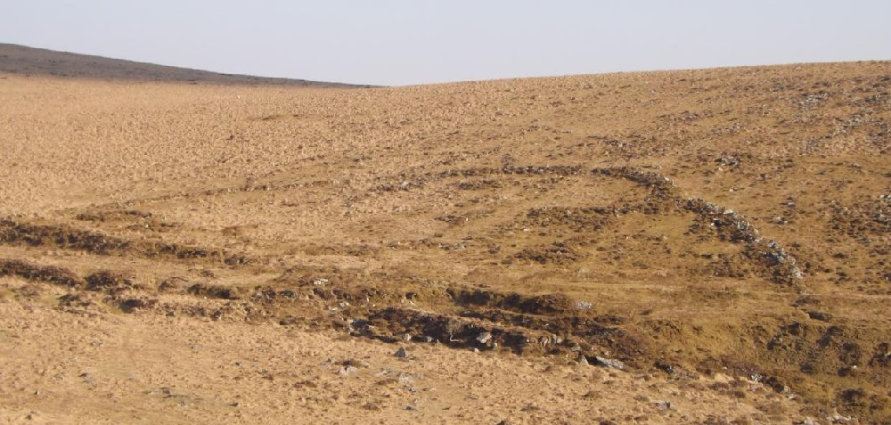
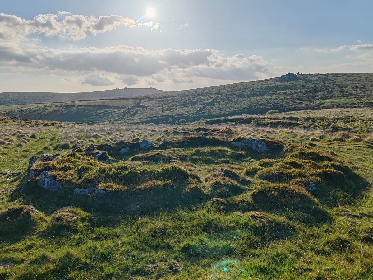
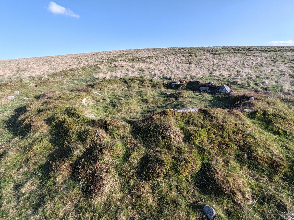
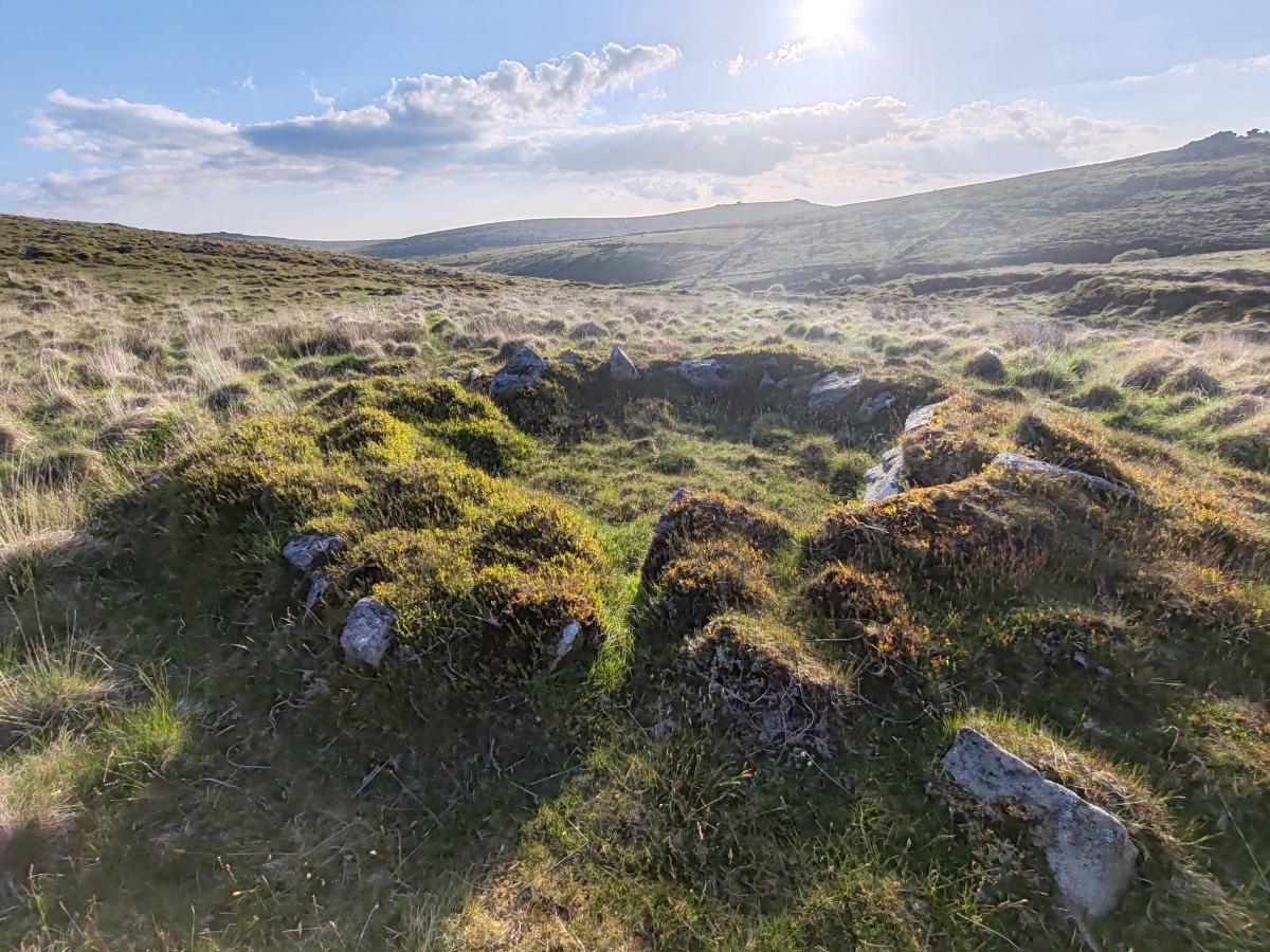
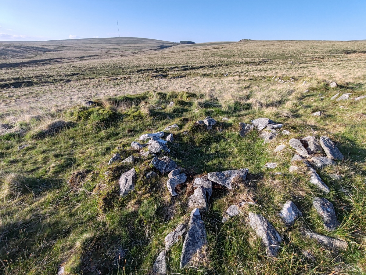
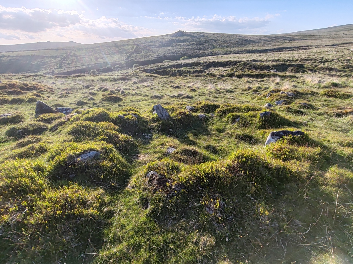
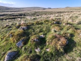
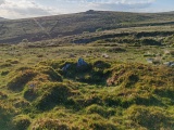
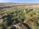
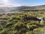
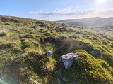
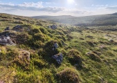
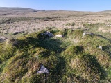
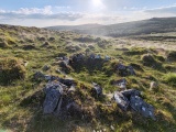
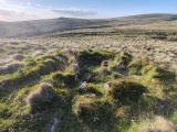
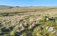
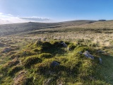
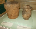
Within the enclosure there are 11 stone built round houses, traces of lynchets and plots defined by low rubble walls and a later tinners building. Attached to the outer face of the enclosure on the south east side is a small field-plot. All of the round houses were examined by the Dartmoor Exploration Committee in 1896. This work recovered charcoal, pot boilers, rubbing stones, flint scrapers and pottery. The site forms part of an extensive Scheduled Ancient Monument.
[Butler, J., Dartmoor Atlas of Antiquities Vol. 3, 1994, 54-55]
Update November 2019: This settlement is featured on the Prehistoric Dartmoor Walks (PDW) website - see their entries for the Raddick Hill Enclosed Settlement and the Sharpitor area Stone Rows and Cists.
The settlement is also recorded as Pastscape Monument No. 440130, as MDV3748 (Settlement south-east of Black Tor) on the Devon and Dartmoor HER, and scheduled as part of Historic England List Entry No. 1020129 (Tinworks and other archaeological remains in the Meavy valley at Stanlake, Black Tor, Hart Tor and Cramber Tor).
You may be viewing yesterday's version of this page. To see the most up to date information please register for a free account.

Do not use the above information on other web sites or publications without permission of the contributor.
Click here to see more info for this site
Nearby sites
Key: Red: member's photo, Blue: 3rd party photo, Yellow: other image, Green: no photo - please go there and take one, Grey: site destroyed
Download sites to:
KML (Google Earth)
GPX (GPS waypoints)
CSV (Garmin/Navman)
CSV (Excel)
To unlock full downloads you need to sign up as a Contributory Member. Otherwise downloads are limited to 50 sites.
Turn off the page maps and other distractions
Nearby sites listing. In the following links * = Image available
192m NNW 331° Hart Tor SW Cairn* Cairn (SX57567164)
212m N 7° Hart Tor south row* Stone Row / Alignment (SX57687168)
221m N 353° Hart Tor north rows* Multiple Stone Rows / Avenue (SX57637169)
240m NNE 15° Hart Tor South Terminal Cairn* Cairn (SX57727170)
247m NNE 12° Hart Tor North circle* Stone Circle (SX57717171)
417m SE 136° Raddick Hill Cist* Cist (SX57937116)
438m NW 312° Black Tor Outcrop* Rock Outcrop (SX57337177)
461m ESE 110° Cramber Cairn* Cairn (SX58087130)
518m SSE 159° Raddick Hill Cairns* Barrow Cemetery (SX57827098)
546m W 268° Black Tor (Meavy)* Multiple Stone Rows / Avenue (SX5710271463)
666m W 260° Black Tor Stone Row Cairns (Stanlake)* Cairn (SX5699071370)
678m WSW 240° Stanlake Settlement* Ancient Village or Settlement (SX57057115)
694m NE 39° Hart Tor.* Rock Outcrop (SX58107200)
1.1km W 269° Leeden Tor* Stone Row / Alignment (SX5652271474)
1.1km NNE 27° Hart Tor North prehistoric settlement* Ancient Village or Settlement (SX5818572466)
1.2km S 174° Raddick Lane Settlement* Ancient Village or Settlement (SX57757029)
1.2km S 186° Raddick Lane Cairn* Cairn (SX57507029)
1.3km SE 144° Crazy Well Cross* Ancient Cross (SX58387039)
1.3km NNE 23° Hart Tor North ring cairn* Ring Cairn (SX5819872694)
1.4km WSW 242° Stanlake Cist* Cist (SX5641670852)
1.4km SSW 210° Stan Lake Platform Cairn Circle Cairn (SX56917028)
1.4km WSW 240° Sharpitor NE (2) Stone Row / Alignment (SX564708)
1.4km WSW 245° Leeden Tor South Cairn* Cairn (SX56327089)
1.6km N 0° Meavy Head Settlement Ancient Village or Settlement (SX577731)
1.6km W 262° Leeden Hill* Standing Stone (Menhir) (SX56017128)
View more nearby sites and additional images


 We would like to know more about this location. Please feel free to add a brief description and any relevant information in your own language.
 Wir möchten mehr über diese Stätte erfahren. Bitte zögern Sie nicht, eine kurze Beschreibung und relevante Informationen in Deutsch hinzuzufügen.
 Nous aimerions en savoir encore un peu sur les lieux. S'il vous plaît n'hesitez pas à ajouter une courte description et tous les renseignements pertinents dans votre propre langue.
 Quisieramos informarnos un poco más de las lugares. No dude en añadir una breve descripción y otros datos relevantes en su propio idioma.