<< Our Photo Pages >> Rippon Tor - Cairn in England in Devon
Submitted by AngieLake on Friday, 19 October 2007 Page Views: 9912
Neolithic and Bronze AgeSite Name: Rippon Tor Alternative Name: Grinsell Ilsington 1; Rippon Tor 1; Turner A62Country: England
NOTE: This site is 1.2 km away from the location you searched for.
County: Devon Type: Cairn
Nearest Town: Ashburton Nearest Village: Widecombe in the Moor
Map Ref: SX74667558
Latitude: 50.566486N Longitude: 3.771164W
Condition:
| 5 | Perfect |
| 4 | Almost Perfect |
| 3 | Reasonable but with some damage |
| 2 | Ruined but still recognisable as an ancient site |
| 1 | Pretty much destroyed, possibly visible as crop marks |
| 0 | No data. |
| -1 | Completely destroyed |
| 5 | Superb |
| 4 | Good |
| 3 | Ordinary |
| 2 | Not Good |
| 1 | Awful |
| 0 | No data. |
| 5 | Can be driven to, probably with disabled access |
| 4 | Short walk on a footpath |
| 3 | Requiring a bit more of a walk |
| 2 | A long walk |
| 1 | In the middle of nowhere, a nightmare to find |
| 0 | No data. |
| 5 | co-ordinates taken by GPS or official recorded co-ordinates |
| 4 | co-ordinates scaled from a detailed map |
| 3 | co-ordinates scaled from a bad map |
| 2 | co-ordinates of the nearest village |
| 1 | co-ordinates of the nearest town |
| 0 | no data |
Internal Links:
External Links:
I have visited· I would like to visit
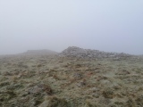
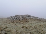
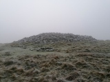
TheCaptain visited on 9th Dec 2022 - their rating: Cond: 4 Amb: 4 Access: 3 The forecast is for a cold icy but bright sunny day as we pack up and leave Splash Cottage, so I decide for a walk up to Rippon Tor and around before the journey home. Unfortunately the real weather up there means I am in the clouds and fog. I make the effort to climb the tor, but its freezing fog up there, and can't see more than about 25 metres, so have a quick wander to the hilltop cairns, cross and millstone, then back down to the car via an old boundary cross at the edge of the frozen Blackslade Mire.
AngieLake have visited here
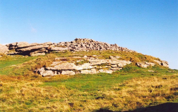
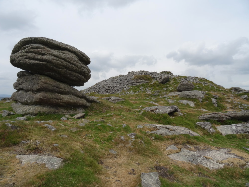
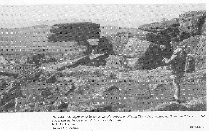
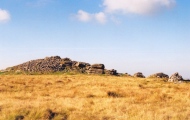
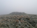
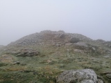
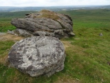
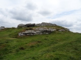
On the summit of Rippon Tor are several cairns.
Butler (in Dartmoor Atlas of Antiquities, Vol.1, The East) says:
"The slight exertion of the climb to the summit of Rippon Tor is not only repaid by the exhilarating view but by the exceptional number of interesting objects to be found here."
He begins by talking about the two parallel reaves (about 65m apart) that traverse the summit (approx. NW-SE according to his plan) with two cross-banks between them which enclose 4 or 5 cairns, as well as the tor itself.
"The highest rock on the summit is crowned by a massive cairn, C1, one of the largest on Dartmoor, 28m in diameter by 4m high, including the unknown height of the natural rock below. This prominent position has earned it an O.S. Trig. station at the centre."
(I climbed to the top of the cairn and saw the concrete post nestling in amongst its pile of rocks. I omitted to photograph it, but have it on film.)
"Two more large cairns C4 and C5, about 20m in diameter, lie close together in a line to the south-east. Both have been much damaged, pitted with miniature craters where stones have been displaced, but still remain impressive monuments. The dearth of surface stone on the hilltop in contrast to the western slope may be due to the considerable amount collected to build these enormous piles."
"Cairn C3 is small (6.8 x 0.4m high), almost midway between C1 and C4. Composed of small stones except for a large slab lying at the edge, this is probably the site of the cist referred to by Crossing as almost covered by turf, though he makes no mention of the cairn."
(I thought this looked more recently man-made, to be honest, and didn't even investigate it.)
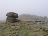
"C2 is a small natural rock pillar about 2m high and 10m from the edge of C1, surrounded at the base by a ring of small stones (7.2 x 0.5m) and, perhaps significantly, in line with the cairns."
(I didn't notice these stones!)
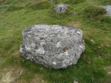
Butler goes on to describe the remains of a large settlement here on both eastern and southern flanks of the tor, and also draws our attention to two partly-worked millstones near the summit.
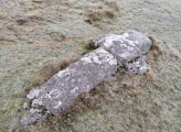
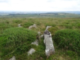
Just to the W of the summit cairn (C1) is "a partly cut latin cross, lying on the turf 20m to the west of the cairn. The left arm has been roughed out and the shaft and head cut to some depth. The right arm, however, is just a stub and perhaps a fracture here was the reason why the work was discontinued."
(I missed that one too!)
NB: As far as I know, Butler alloted those letters and numbers to the cairns to enable the reader to ref. their positions in his plan.
Update November 2019: The Rippon Tor 1 cairn at SX 74664 75581, also referenced as Turner A62, Grinsell Ilsington 1, and shown on Butler map 5.5.1, is featured on the Prehistoric Dartmoor Walks (PDW) website - see their entry for the Rippon Tor Stone Ring Cairn Circle.
This cairn is also recorded as part of Pastscape Monument No. 445156, as MDV7539 (Cairn on summit of Rippon Tor), and scheduled as part of Historic England List ID 1019603 (Coaxial fields, prehistoric settlements and cairns on Halshanger and Horridge Commons, forming part of the Rippon Tor coaxial field system).
Pastscape gives the grid references of the cairns as: 'A'-SX 74717549; 'B'-SX 74747547; 'C'-SX 74687552; and 'D'-SX 74657557
You may be viewing yesterday's version of this page. To see the most up to date information please register for a free account.
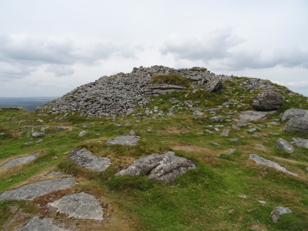
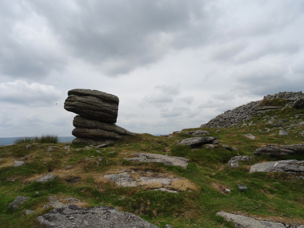
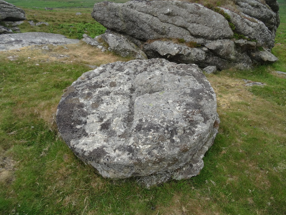





These are just the first 25 photos of Rippon Tor. If you log in with a free user account you will be able to see our entire collection.
Do not use the above information on other web sites or publications without permission of the contributor.
Click here to see more info for this site
Nearby sites
Key: Red: member's photo, Blue: 3rd party photo, Yellow: other image, Green: no photo - please go there and take one, Grey: site destroyed
Download sites to:
KML (Google Earth)
GPX (GPS waypoints)
CSV (Garmin/Navman)
CSV (Excel)
To unlock full downloads you need to sign up as a Contributory Member. Otherwise downloads are limited to 50 sites.
Turn off the page maps and other distractions
Nearby sites listing. In the following links * = Image available
844m NW 319° Seven Lords' Lands* Stone Circle (SX74127623)
934m WNW 287° Foales Arrishes* Ancient Village or Settlement (SX73777587)
1.2km W 265° Blackslade Down Cairn and Cist* Cist (SX7341275510)
1.4km WSW 253° Wittaburrow Cairn* Cairn (SX73347521)
1.4km NW 308° Top Tor Cairns* Cairn (SX7357476472)
1.4km NW 304° Top Tor row Stone Row / Alignment (SX735764)
1.5km W 277° Tunhill Rocks* Ancient Village or Settlement (SX7318975796)
2.6km SSW 204° Buckland Ridge South Ring Cairn (SX73577324)
2.7km SSW 204° Ten Commandments Stone* Natural Stone / Erratic / Other Natural Feature (SX735731)
2.8km NNE 18° Smallacombe Rocks Settlement* Ancient Village or Settlement (SX7558378211)
2.9km SSW 202° Stidwell* Holy Well or Sacred Spring (SX735729)
3.0km W 274° Dunstone Cup Stone Rock Art (SX71677585)
3.1km WNW 292° Saxon Well* Holy Well or Sacred Spring (SX718768)
3.2km NW 326° Chinkwell Tor Cairn* Cairn (SX7293078250)
3.2km N 358° Hound Tor Deserted Medieval Village* Ancient Village or Settlement (SX74627878)
3.2km NE 36° Haytor Down Ring Cairn (SX76617814)
3.2km NNW 349° Hound Tor Ring Cairn* Ring Cairn (SX7409778770)
3.4km N 353° Hound Tor Enclosure* Causewayed Enclosure (SX74307897)
3.6km NNE 24° Black Hill Cairns* Cairn (SX762788)
4.1km NNE 27° Trendlebere Down Stone Row Cairn* Cairn (SX7662079230)
4.2km NNE 26° Trendlebere Down* Multiple Stone Rows / Avenue (SX76627928)
4.6km NW 306° Hamel Down Cairn and Cist* Cairn (SX7100878345)
4.9km N 352° Bowerman's Nose* Rock Outcrop (SX74108046)
5.1km NW 310° Hamel Down Beacon cairn* Cairn (SX70837891)
5.2km NW 310° Blackaton Down south (Hamel Down)* Cairn (SX70737904)
View more nearby sites and additional images




 We would like to know more about this location. Please feel free to add a brief description and any relevant information in your own language.
 Wir möchten mehr über diese Stätte erfahren. Bitte zögern Sie nicht, eine kurze Beschreibung und relevante Informationen in Deutsch hinzuzufügen.
 Nous aimerions en savoir encore un peu sur les lieux. S'il vous plaît n'hesitez pas à ajouter une courte description et tous les renseignements pertinents dans votre propre langue.
 Quisieramos informarnos un poco más de las lugares. No dude en añadir una breve descripción y otros datos relevantes en su propio idioma.