<< Our Photo Pages >> Gray Hill stone row - Standing Stone (Menhir) in Wales in Monmouthshire
Submitted by TheCaptain on Sunday, 21 July 2002 Page Views: 8767
Neolithic and Bronze AgeSite Name: Gray Hill stone rowCountry: Wales
NOTE: This site is 1.652 km away from the location you searched for.
County: Monmouthshire Type: Standing Stone (Menhir)
Nearest Town: Chepstow Nearest Village: Llanvair Discoed
Map Ref: ST43769357 Landranger Map Number: 171
Latitude: 51.638109N Longitude: 2.814064W
Condition:
| 5 | Perfect |
| 4 | Almost Perfect |
| 3 | Reasonable but with some damage |
| 2 | Ruined but still recognisable as an ancient site |
| 1 | Pretty much destroyed, possibly visible as crop marks |
| 0 | No data. |
| -1 | Completely destroyed |
| 5 | Superb |
| 4 | Good |
| 3 | Ordinary |
| 2 | Not Good |
| 1 | Awful |
| 0 | No data. |
| 5 | Can be driven to, probably with disabled access |
| 4 | Short walk on a footpath |
| 3 | Requiring a bit more of a walk |
| 2 | A long walk |
| 1 | In the middle of nowhere, a nightmare to find |
| 0 | No data. |
| 5 | co-ordinates taken by GPS or official recorded co-ordinates |
| 4 | co-ordinates scaled from a detailed map |
| 3 | co-ordinates scaled from a bad map |
| 2 | co-ordinates of the nearest village |
| 1 | co-ordinates of the nearest town |
| 0 | no data |
Internal Links:
External Links:
I have visited· I would like to visit
xseawitch SumDoood would like to visit
Phillwhite visited on 24th Oct 2020 - their rating: Cond: 2 Amb: 3 Access: 2 Not for the faint hearted... the hill is steep! The tallest standing stone is the easiest to spot. The circle is 45 meters to the south.
TheCaptain visited on 5th Sep 2020 - their rating: Cond: 3 Amb: 4 Access: 3 Breezy but sunny afternoon walk up Gray Hill to check out the old stones, then a walk around Wentwood Forest. Much of the top of the hill has become very overgrown, and it was initially difficult to find the stone row leading down to the circle. I disturbed at least three fallow deer on my way through. However, the bracken and gorse on the slopes around the stones is mostly cleared, so it was easy to find the big stones of the row, and two of the stumps.
SandyG visited on 12th May 2018 - their rating: Cond: 3 Amb: 5 Access: 2 Car parking is available at ST 42871 93864. From here cross the road and follow the track that starts at ST 42884 93940. At ST 43270 93715 take the footpath leading up the very steep hill and follow this to ST 43641 93659. Head downhill from here to the row.
Penbron Geojazz TheCaptain Ellpezz have visited here
Average ratings for this site from all visit loggers: Condition: 2.67 Ambience: 4 Access: 2.33
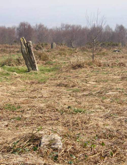
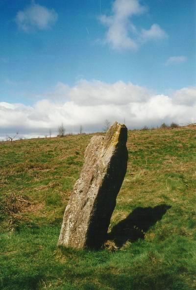
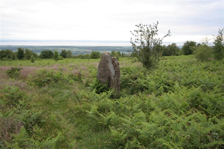
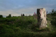
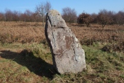
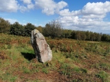
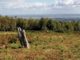
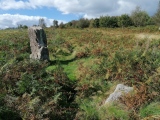
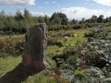
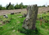
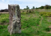
Looking to the south from the top of the highest cairn, a large standing stone can be made out further down the hillside. Walking down to this stone, it becomes obvious that there is a further large standing stone further down the hill, and then more stones to the right of that can be seen, which is the stone circle.
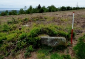
Walking down between these two large stones, a further large stone stump is seen.
When the lower large stone is reached, which is just a few yards to the east of the circle remains, a further stump is seen just a bit further on.
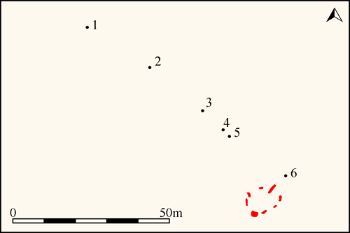
Closer inspection on the way back up the hill revealed another stone stump above the upper large stone, which makes up a fairly reasonable alignment of 5 stones in a row, which sort of joins between the jumbled stone remains on the top of the hill with the stone circle.
At the same grid reference as that given above, Coflein NPRN 307980 records an 'erect monolith' which is 55m to the NW of a stone circle (see nearby sites below). The Journal of Antiquities also features a page for Gray Hill Stone Circle, Llanfair Discoed, Monmouthshire (Sir Fynwy), which includes a description of the stones in this immediate area, plus photographs and a list of reference sources for more information.
Update October 2019: This alignment is featured on the Stone Rows of Great Britain website - see their entry for Gray Hill, which includes a description, a plan of the row and its associated stone circle/kerbed cairn (from a recent survey in May 2018), photographs of the alignment and the individual stones, access information and a list on online resources for more information.
You may be viewing yesterday's version of this page. To see the most up to date information please register for a free account.








These are just the first 25 photos of Gray Hill stone row. If you log in with a free user account you will be able to see our entire collection.
Do not use the above information on other web sites or publications without permission of the contributor.
Click here to see more info for this site
Nearby sites
Key: Red: member's photo, Blue: 3rd party photo, Yellow: other image, Green: no photo - please go there and take one, Grey: site destroyed
Download sites to:
KML (Google Earth)
GPX (GPS waypoints)
CSV (Garmin/Navman)
CSV (Excel)
To unlock full downloads you need to sign up as a Contributory Member. Otherwise downloads are limited to 50 sites.
Turn off the page maps and other distractions
Nearby sites listing. In the following links * = Image available
56m SE 134° Gray Hill circle* Stone Circle (ST43809353)
370m W 266° Gray Hill summit cairn* Round Cairn (ST43399355)
440m SE 132° Gray Hill Cairn Cemetery* Barrow Cemetery (ST4408693273)
991m WNW 302° Forresters' Oaks Round Barrow* Round Barrow(s) (ST42929410)
2.3km WNW 295° Llanvaches 1* Round Barrow(s) (ST41699455)
2.3km WNW 294° Llanvaches 2* Round Barrow(s) (ST41669455)
2.5km ESE 112° Llanmelin Wood* Hillfort (ST46109260)
2.6km ESE 106° Llan-melin wood Earthwork Misc. Earthwork (ST463928)
2.9km SSE 154° Five Lanes Round Barrow (A) Round Barrow(s) (ST45019091)
2.9km SSE 154° Five Lanes Round Barrow (B) Round Barrow(s) (ST45019090)
3.0km ESE 114° NOT SET
3.0km WSW 246° Castell Prin* Hillfort (ST410924)
3.3km S 187° Carrow Hill Round Barrow Round Barrow(s) (ST43309035)
3.3km NNE 17° y Garn Llwyd* Chambered Tomb (ST44769674)
3.4km SSW 193° Carrow Hill Round Barrow Pair Round Barrow(s) (ST42999029)
3.5km SSE 151° Middle Hendre Round Barrow(s) (ST454905)
3.6km SSE 168° Woodcock Hill Barrow Round Barrow(s) (ST44449008)
3.6km S 187° The Larches Camp* Hillfort (ST433900)
4.1km NNW 343° Golden Hill Earthwork Hillfort (ST42579753)
4.4km SE 134° Silurum Stone* Marker Stone (ST46879049)
4.4km SE 133° Venta Silurum Settlement* Ancient Village or Settlement (ST46959056)
4.4km SE 133° Cult Temple at Venta Silurum* Ancient Temple (ST4695890564)
5.0km N 3° Gaer Fawr (Monmouthshire) Hillfort (ST441986)
5.3km W 277° Bwllfa Cottages Henge Henge (ST38509431)
5.5km WSW 254° Kemeys Graig Earthworks Misc. Earthwork (ST384921)
View more nearby sites and additional images


 We would like to know more about this location. Please feel free to add a brief description and any relevant information in your own language.
 Wir möchten mehr über diese Stätte erfahren. Bitte zögern Sie nicht, eine kurze Beschreibung und relevante Informationen in Deutsch hinzuzufügen.
 Nous aimerions en savoir encore un peu sur les lieux. S'il vous plaît n'hesitez pas à ajouter une courte description et tous les renseignements pertinents dans votre propre langue.
 Quisieramos informarnos un poco más de las lugares. No dude en añadir una breve descripción y otros datos relevantes en su propio idioma.