<< Our Photo Pages >> St Lythans - Chambered Tomb in Wales in South Glamorgan
Submitted by JJ on Wednesday, 29 June 2022 Page Views: 24394
Neolithic and Bronze AgeSite Name: St Lythans Alternative Name: Gwal-y-Filiast, Maesyfelin, Maes-Y-Felin, Saint Lythan’sCountry: Wales County: South Glamorgan Type: Chambered Tomb
Nearest Town: Barry Nearest Village: St Nicholas
Map Ref: ST10097230 Landranger Map Number: 171
Latitude: 51.442530N Longitude: 3.295045W
Condition:
| 5 | Perfect |
| 4 | Almost Perfect |
| 3 | Reasonable but with some damage |
| 2 | Ruined but still recognisable as an ancient site |
| 1 | Pretty much destroyed, possibly visible as crop marks |
| 0 | No data. |
| -1 | Completely destroyed |
| 5 | Superb |
| 4 | Good |
| 3 | Ordinary |
| 2 | Not Good |
| 1 | Awful |
| 0 | No data. |
| 5 | Can be driven to, probably with disabled access |
| 4 | Short walk on a footpath |
| 3 | Requiring a bit more of a walk |
| 2 | A long walk |
| 1 | In the middle of nowhere, a nightmare to find |
| 0 | No data. |
| 5 | co-ordinates taken by GPS or official recorded co-ordinates |
| 4 | co-ordinates scaled from a detailed map |
| 3 | co-ordinates scaled from a bad map |
| 2 | co-ordinates of the nearest village |
| 1 | co-ordinates of the nearest town |
| 0 | no data |
Internal Links:
External Links:
I have visited· I would like to visit
PAB 43559959 GenineNeale would like to visit
ArchAstro: would like to visit Archaeoastronomy Investigation: Major Lunar Standstill moonset along azimuth 320° from St Lythans to Tinkinswood. Basic sightline established, but it would be better on a less misty day using flags on a pole, or in the evening with lights. Then as the setting moon reaches maximum northern declinations (approx. 28.7) around the years 2024 & 2025, capture photo of moonset from St Lythans along the azimuth. (see link below)
www.exploreglobe.net/st-lythans--tinkinswood-investigation.html
TheCaptain visited on 25th Apr 2024 - their rating: Cond: 3 Amb: 3 Access: 4 Time for another visit to St Lythams and Tinkinswood. Very nice in the lush springtime
philw visited on 1st Nov 2023 - their rating: Cond: 3 Amb: 4 Access: 4 A short walk from a well signposted gate on the road. There is a tiny layby by the gate to park in.
lucasn visited on 1st Jul 2021 - their rating: Cond: 4 Amb: 4 Access: 4
SteCymru14 visited on 13th Nov 2016 - their rating: Cond: 3 Amb: 3 Access: 4
ArchAstro visited on 1st Jan 2012 Archaeoastronomy Investigation: Major Lunar Standstill moonset along azimuth 320° from St Lythans to Tinkinswood. Basic sightline established, but it would be better on a less misty day using flags on a pole, or in the evening with lights. Then as the setting moon reaches maximum northern declinations (approx. 28.7) around the years 2024 & 2025, capture photo of moonset from St Lythans along the azimuth. (see link below)
www.exploreglobe.net/st-lythans--tinkinswood-investigation.html
coldrum visited on 3rd Dec 2011 - their rating: Cond: 3 Amb: 4 Access: 4
druid visited on 13th Jun 2010 - their rating: Cond: 4 Amb: 5 Access: 4
SolarMegalith visited on 1st Jul 2008 - their rating: Cond: 3 Amb: 4 Access: 4
TheCaptain visited on 11th Jul 2004 - their rating: Access: 4
Baruc visited on 1st May 1979 - their rating: Cond: 3 Amb: 3 Access: 5
trystan_hughes visited - their rating: Cond: 3 Amb: 4 Access: 4
Andy B DrewParsons AngieLake TimPrevett rldixon hamish sem coin have visited here
Average ratings for this site from all visit loggers: Condition: 3.22 Ambience: 3.78 Access: 4.1
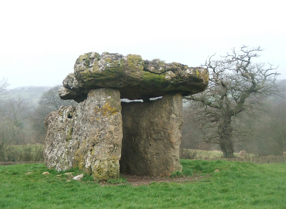
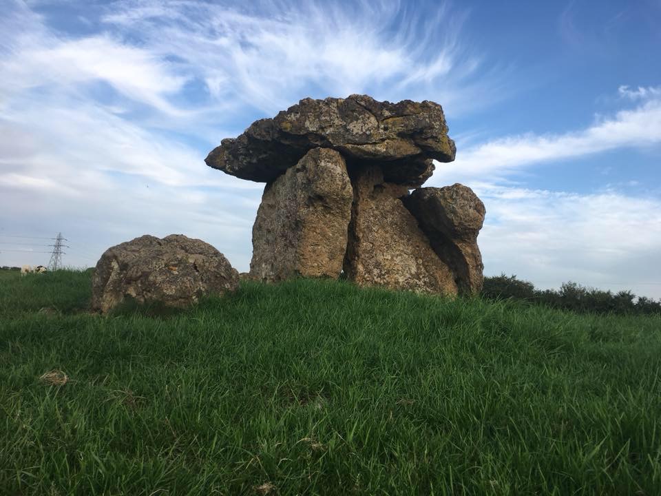
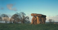
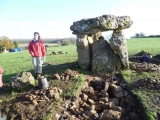
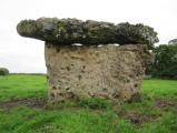
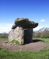
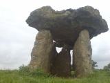
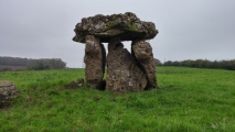
Now there are three upright stones supporting a 14-foot long by 10-foot wide by 21/2-foot thick capstone, truly a remarkable feat. There are no excavation finds, but one 19th Century researcher recounted seeing bones and pottery mixed up with earth thrown out of the chamber. Traditionally, the field in which the stones stand was said to be cursed, and consequently unprofitable, and the stones themselves were believed to grant any wish whispered to them on Halloween. The capstone is said to whirl around three times on Midsummer Eve, and the same night all the stones go to bathe in the river.
Close nearby, in the same village is Tinkinswood Burial Chamber.
Text by Tom Bullock, JJ says Mind the cow pats!
Dig finds the collapsed facade at the front of the monument complete with the rubble blocking that was placed in front of the chamber when it was sealed, see the new photos added by coldrum. Also lots of flint and neolithic pottery that probably originated from within the chamber.
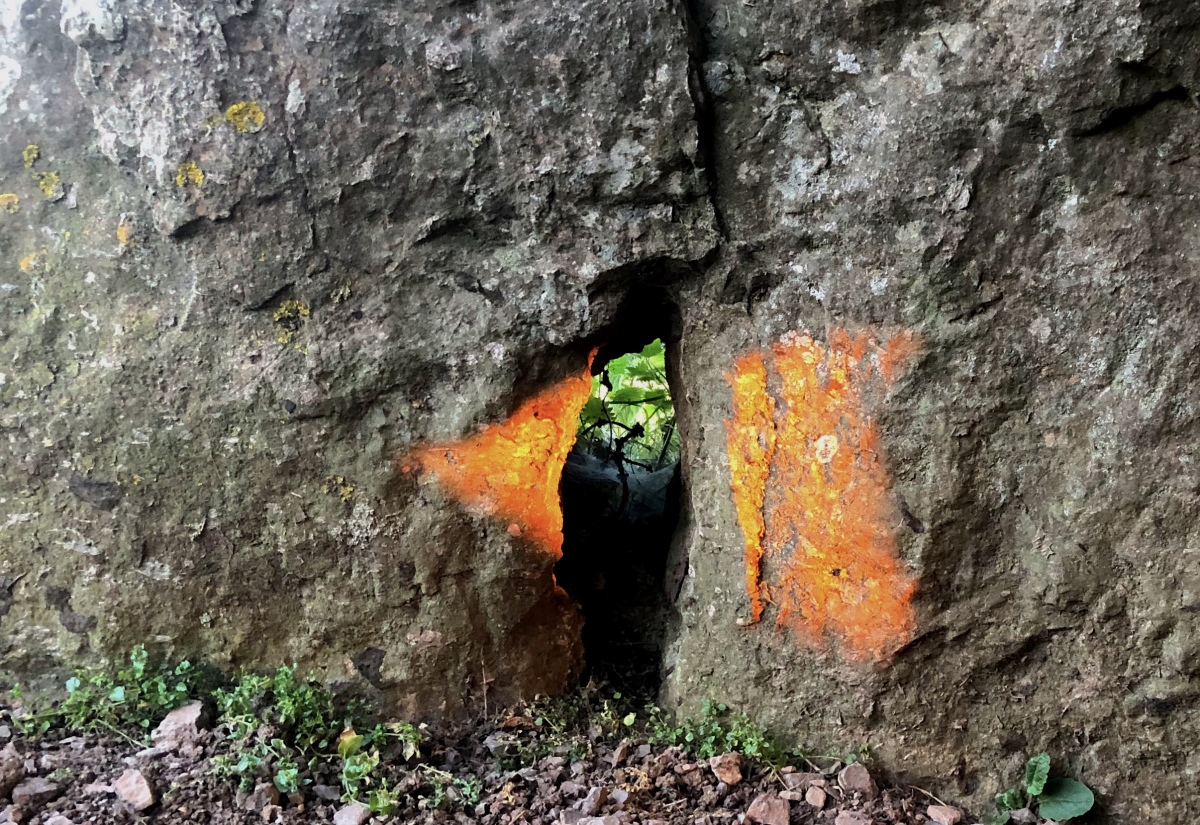
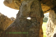
Note: Summer Solstice Photo Competition Winner: Mark_in_Wales. View the other entries here. Mark describes his photo: This light beam was photographed at 21:14 BST on the 20th of June 2022. St Lythans Burial Chamber is a highly accurate tool for determining the Winter Calendar and making this stunning Arrowhead light-beam at The arrowhead shape (known as an oblique arrowhead in academic circles) is extremely precise, with a straight back, curved cutting surface and hooked single tang. The light-beam is formed by only three stones and the angle of the wall it is being projected onto.
You may be viewing yesterday's version of this page. To see the most up to date information please register for a free account.











These are just the first 25 photos of St Lythans. If you log in with a free user account you will be able to see our entire collection.
Do not use the above information on other web sites or publications without permission of the contributor.
Click here to see more info for this site
Nearby sites
Key: Red: member's photo, Blue: 3rd party photo, Yellow: other image, Green: no photo - please go there and take one, Grey: site destroyed
Download sites to:
KML (Google Earth)
GPX (GPS waypoints)
CSV (Garmin/Navman)
CSV (Excel)
To unlock full downloads you need to sign up as a Contributory Member. Otherwise downloads are limited to 50 sites.
Turn off the page maps and other distractions
Nearby sites listing. In the following links * = Image available
901m ESE 115° Goldsland Wood Cave Cave or Rock Shelter (ST109719)
1.2km NW 321° Tinkinswood 2* Burial Chamber or Dolmen (ST09337327)
1.2km NW 317° Tinkinswood avenue* Stone Row / Alignment (ST09267323)
1.3km NW 322° Tinkinswood quarry* Ancient Mine, Quarry or other Industry (ST09337331)
1.3km NW 323° Tinkinswood outliers* Rock Outcrop (ST09337334)
1.3km NW 318° Tinkinswood standing stones* Standing Stones (ST09247327)
1.3km NW 318° Tinkinswood* Chambered Cairn (ST09217330)
1.5km NNE 23° St Lythans Down Round Barrow* Round Barrow(s) (ST10717367)
1.7km NE 41° Marsyd Round Barrow(s) (ST11217352)
1.8km NNE 19° Vianshill Round Barrow(s) (ST10717401)
1.9km NE 46° Quarrymen Stone* Modern Stone Circle etc (ST115736)
2.5km NW 306° Coed-Y-Cwm* Chambered Cairn (ST08117378)
2.7km WNW 303° Redland Farm Standing Stone (Menhir) (ST07817382)
2.7km NW 311° Cottrell Park Standing Stone* Standing Stone (Menhir) (ST0804574124)
2.8km NNW 334° St Nicholas' Well (Glamorgan)* Holy Well or Sacred Spring (ST08937484)
3.3km SE 131° Pencoetre Wood Barrow Round Barrow(s) (ST125701)
3.6km ENE 61° Coed-y Cymdda Hillfort (ST13297398)
3.9km ENE 74° Cwrt-yr-ala Hillfort (ST139733)
4.2km NE 50° Caerau (Cardiff)* Hillfort (ST13377498)
4.8km WSW 239° Castle Ditches Fort* Hillfort (ST059699)
5.1km NNE 20° St Fagan's Well Holy Well or Sacred Spring (ST11917712)
5.2km NNE 17° Museum of Welsh Life, St Fagans* Museum (ST117772)
5.2km S 178° Barry Gorsedd Circle* Modern Stone Circle etc (ST1018967130)
5.2km NW 313° Ffynnon Deilo* Holy Well or Sacred Spring (ST0633975904)
5.4km SSW 198° Lower Porthkerry House Platform Ancient Village or Settlement (ST083672)
View more nearby sites and additional images


 We would like to know more about this location. Please feel free to add a brief description and any relevant information in your own language.
 Wir möchten mehr über diese Stätte erfahren. Bitte zögern Sie nicht, eine kurze Beschreibung und relevante Informationen in Deutsch hinzuzufügen.
 Nous aimerions en savoir encore un peu sur les lieux. S'il vous plaît n'hesitez pas à ajouter une courte description et tous les renseignements pertinents dans votre propre langue.
 Quisieramos informarnos un poco más de las lugares. No dude en añadir una breve descripción y otros datos relevantes en su propio idioma.