<< Our Photo Pages >> Langstone Moor circle - Stone Circle in England in Devon
Submitted by thecaptain on Sunday, 21 November 2021 Page Views: 16303
Neolithic and Bronze AgeSite Name: Langstone Moor circle Alternative Name: Longstone Moor; Butler Map 30.10; Turner G10Country: England County: Devon Type: Stone Circle
Nearest Town: Tavistock Nearest Village: Peter Tavy
Map Ref: SX5563478198 Landranger Map Number: 191
Latitude: 50.585620N Longitude: 4.04066W
Condition:
| 5 | Perfect |
| 4 | Almost Perfect |
| 3 | Reasonable but with some damage |
| 2 | Ruined but still recognisable as an ancient site |
| 1 | Pretty much destroyed, possibly visible as crop marks |
| 0 | No data. |
| -1 | Completely destroyed |
| 5 | Superb |
| 4 | Good |
| 3 | Ordinary |
| 2 | Not Good |
| 1 | Awful |
| 0 | No data. |
| 5 | Can be driven to, probably with disabled access |
| 4 | Short walk on a footpath |
| 3 | Requiring a bit more of a walk |
| 2 | A long walk |
| 1 | In the middle of nowhere, a nightmare to find |
| 0 | No data. |
| 5 | co-ordinates taken by GPS or official recorded co-ordinates |
| 4 | co-ordinates scaled from a detailed map |
| 3 | co-ordinates scaled from a bad map |
| 2 | co-ordinates of the nearest village |
| 1 | co-ordinates of the nearest town |
| 0 | no data |
Internal Links:
External Links:
I have visited· I would like to visit
whese001 would like to visit
eddie304 visited on 6th Jul 2024 - their rating: Cond: 3 Amb: 4 Access: 2
Catrinm visited on 13th Aug 2022 - their rating: Cond: 2 Access: 2 Worth the hike on hottest day ever on Dartmoor at 33 degrees. Went from the Peter Taby end and visited the impresive Langstone and row first. Circle is spectaculars sited but a sad site because of deliberate desecration by the army.
graemefield visited on 4th Jan 2017 - their rating: Cond: 3 Amb: 4 Access: 3
TheCaptain have visited here
Average ratings for this site from all visit loggers: Condition: 2.67 Ambience: 4 Access: 2.33
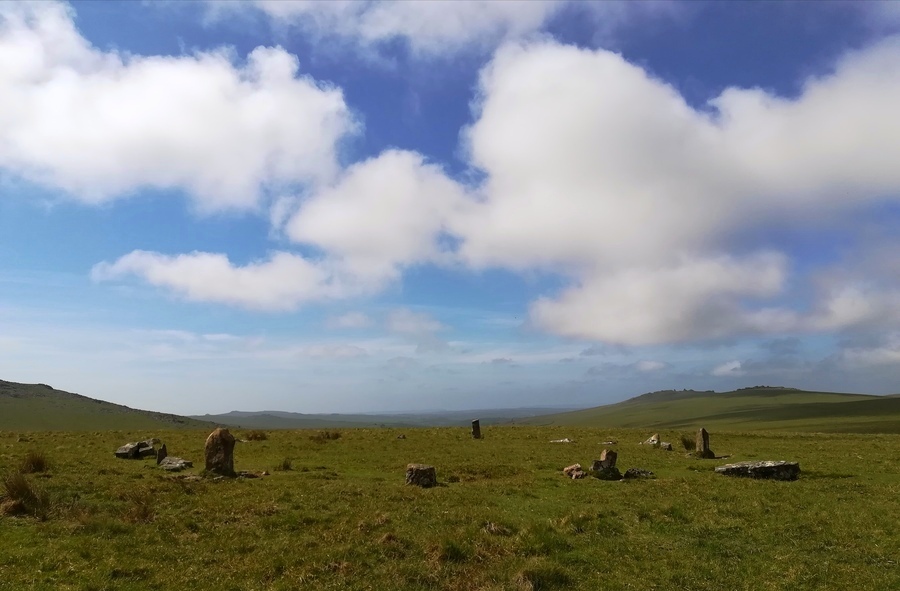
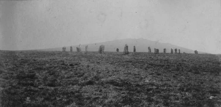
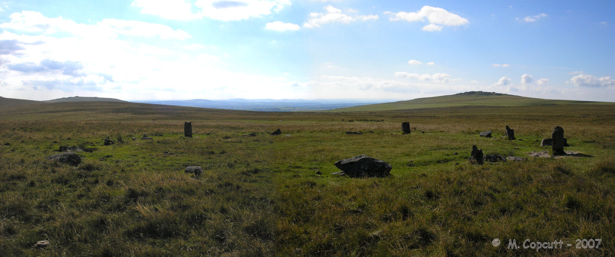
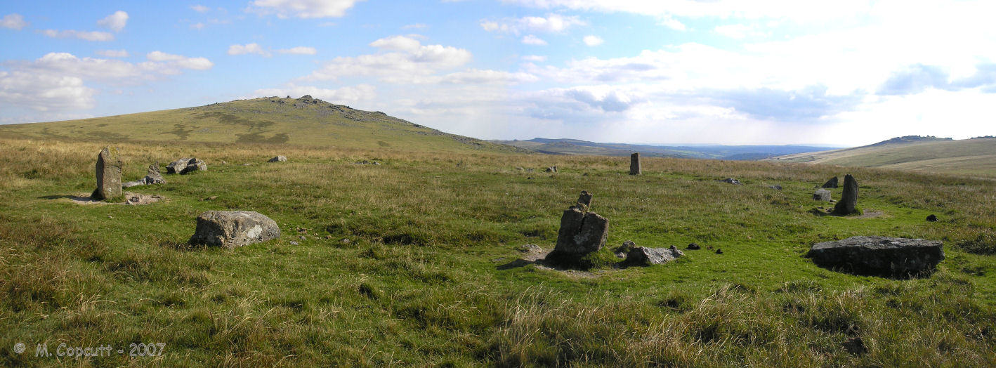
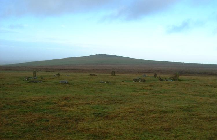
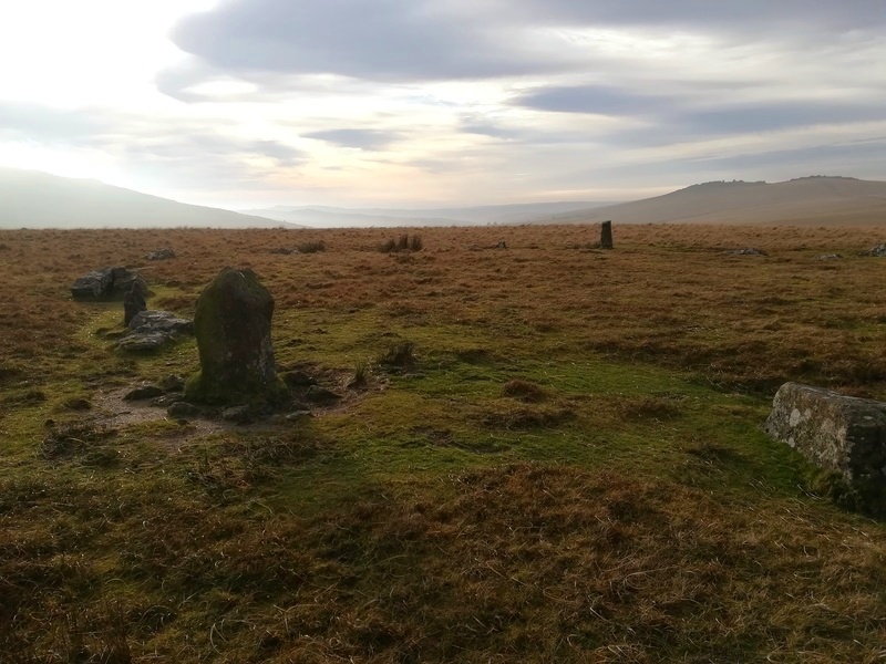
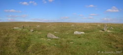
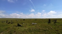
Sixteen stones would have stood in an almost perfect circle, between 20 and 21 metres diameter, but possibly with a slightly flattened eastern side, which has prompted some to call it a D shaped circle. Each stone would have stood between 1 and 2 metres tall, with regular spacing of about 2 to 3 metres between each other.
There is an outlier stone, just a few metres outside the circle to the southwest, and perhaps there were others.
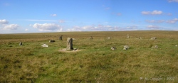
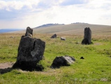
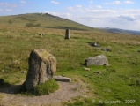
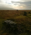
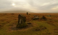
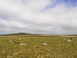
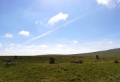
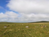
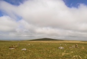
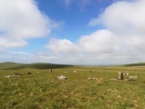
The circle was restored in 1894 by the Dartmoor Exploration Committee, but these days, most of the stones are all broken fragments, leaving just three unbroken stones standing in position, the rest being stumps and shattered remains to varying extents. There is no chance of further restoration.
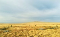
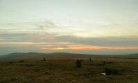
When walking to the circle from either the north, or the southwest, it appears as silhouetted on the skyline, and would have looked very imposing. The views to the south are stunning, and it is possible to see the Merrivale complex of ancient sites.
This circle is fairly straightforwards to reach, although it involves a minimum walk of between 3 and 4 km each way. There are two main options :-
1: Park by the B3357 for Great Staple Tor, then northeast to Roos Tor and onwards along a reasonable path across the moor along the ridgetop.
2: Walk east from parking at Godsworthy along the Lich Way, past White Tor and The Langstone before heading across the moor to the circle - being wary to avoid Langstone Mire.
Update November 2019: This stone circle is featured on the Prehistoric Dartmoor Walks (PDW) website - see their entries for the Langstone Moor Stone Circle and the Langstone Moor Stone Circle, Stone Row & Settlements.
The circle is also recorded as Pastscape Monument No. 439606, as MDV4226 (Langstone Moor Stone Circle, Peter Tavy) on the Devon and Dartmoor HER, and scheduled as Historic England List Entry No. 1007550 (Two concentric stone circles on Langstone Moor).
Please note, the circle is in the Merrivale live firing range, you will need to check the range open times beforehand.
Note: Lots of new photos from the Langstone Moor area of Dartmoor, including this once splendid but now wrecked stone circle
You may be viewing yesterday's version of this page. To see the most up to date information please register for a free account.



These are just the first 25 photos of Langstone Moor circle. If you log in with a free user account you will be able to see our entire collection.
Do not use the above information on other web sites or publications without permission of the contributor.
Click here to see more info for this site
Nearby sites
Key: Red: member's photo, Blue: 3rd party photo, Yellow: other image, Green: no photo - please go there and take one, Grey: site destroyed
Download sites to:
KML (Google Earth)
GPX (GPS waypoints)
CSV (Garmin/Navman)
CSV (Excel)
To unlock full downloads you need to sign up as a Contributory Member. Otherwise downloads are limited to 50 sites.
Turn off the page maps and other distractions
Nearby sites listing. In the following links * = Image available
123m SE 128° Langstone Moor 2* Cairn (SX55737812)
301m S 170° Langstone Moor settlement* Ancient Village or Settlement (SX55687790)
803m NW 317° Langstone Moor 3 Stone Row / Alignment (SX55107880)
811m NW 309° The Langstone* Standing Stone (Menhir) (SX55027873)
839m WSW 249° Langstone Moor Cairn Circle* Ring Cairn (SX54847792)
894m NW 315° Langstone Moor stone row* Stone Row / Alignment (SX5502278851)
909m NW 310° Langstone Moor row 2* Stone Row / Alignment (SX54957880)
930m SW 232° Cairns North of Roos Tor* Cairn (SX5488477645)
1.1km WNW 296° East of White Tor Cairn 4* Cist (SX5469478690)
1.1km NNE 28° Cocks Hill West Cairn* Cairn (SX5618579154)
1.1km WNW 293° East of White Tor cairn 3* Cairn (SX5461278668)
1.1km WNW 293° East of White for cairn 2* Cairn (SX5459278664)
1.1km WNW 294° Cairns East of White Tor* Cairn (SX5459578695)
1.3km WSW 241° Wedlake Cairns* Barrow Cemetery (SX545776)
1.3km W 277° South of White Tor Cairns* Barrow Cemetery (SX543784)
1.5km WNW 287° White Tor (Peter Tavy)* Ancient Village or Settlement (SX5424078673)
1.6km NE 45° White Barrow (Cocks Hill) Cairn (SX568793)
1.6km W 273° White Tor Long Cairn* Cairn (SX5401478316)
1.8km WSW 238° Roos Tor north west* Ancient Village or Settlement (SX5403977254)
2.0km WNW 290° Cudlipptown Down Cairn (SX5373278949)
2.1km W 277° Cudliptown Down Enclosed Settlement* Ancient Village or Settlement (SX536785)
2.1km SW 218° Roos Tor Rocks* Rock Outcrop (SX543766)
2.5km NNE 20° Limsboro Cairn (SX5656780550)
2.6km SSE 149° Mis Tor Farm Cairn (SX56927594)
2.6km SW 228° Cox Tor north east* Ancient Village or Settlement (SX536765)
View more nearby sites and additional images


 We would like to know more about this location. Please feel free to add a brief description and any relevant information in your own language.
 Wir möchten mehr über diese Stätte erfahren. Bitte zögern Sie nicht, eine kurze Beschreibung und relevante Informationen in Deutsch hinzuzufügen.
 Nous aimerions en savoir encore un peu sur les lieux. S'il vous plaît n'hesitez pas à ajouter une courte description et tous les renseignements pertinents dans votre propre langue.
 Quisieramos informarnos un poco más de las lugares. No dude en añadir una breve descripción y otros datos relevantes en su propio idioma.