<< Our Photo Pages >> Dewerstone - Causewayed Enclosure in England in Devon
Submitted by Andy B on Saturday, 02 July 2011 Page Views: 6280
Neolithic and Bronze AgeSite Name: Dewerstone Alternative Name: Dewerstone Hill Pound; Dewerstone Neolithic EnclosureCountry: England County: Devon Type: Causewayed Enclosure
Nearest Village: Meavey
Map Ref: SX53876399
Latitude: 50.457492N Longitude: 4.059992W
Condition:
| 5 | Perfect |
| 4 | Almost Perfect |
| 3 | Reasonable but with some damage |
| 2 | Ruined but still recognisable as an ancient site |
| 1 | Pretty much destroyed, possibly visible as crop marks |
| 0 | No data. |
| -1 | Completely destroyed |
| 5 | Superb |
| 4 | Good |
| 3 | Ordinary |
| 2 | Not Good |
| 1 | Awful |
| 0 | No data. |
| 5 | Can be driven to, probably with disabled access |
| 4 | Short walk on a footpath |
| 3 | Requiring a bit more of a walk |
| 2 | A long walk |
| 1 | In the middle of nowhere, a nightmare to find |
| 0 | No data. |
| 5 | co-ordinates taken by GPS or official recorded co-ordinates |
| 4 | co-ordinates scaled from a detailed map |
| 3 | co-ordinates scaled from a bad map |
| 2 | co-ordinates of the nearest village |
| 1 | co-ordinates of the nearest town |
| 0 | no data |
Internal Links:
External Links:
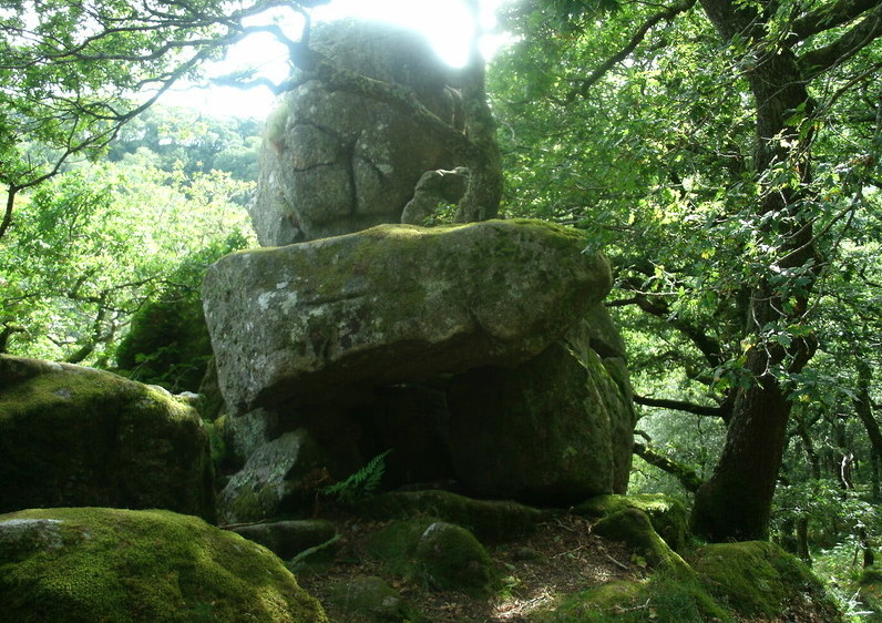
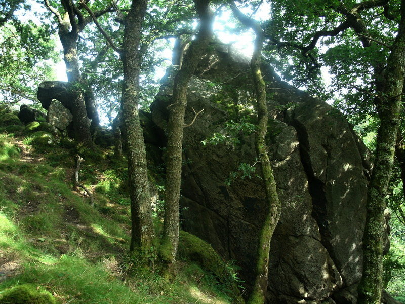
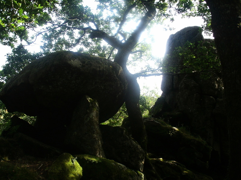
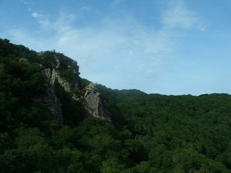
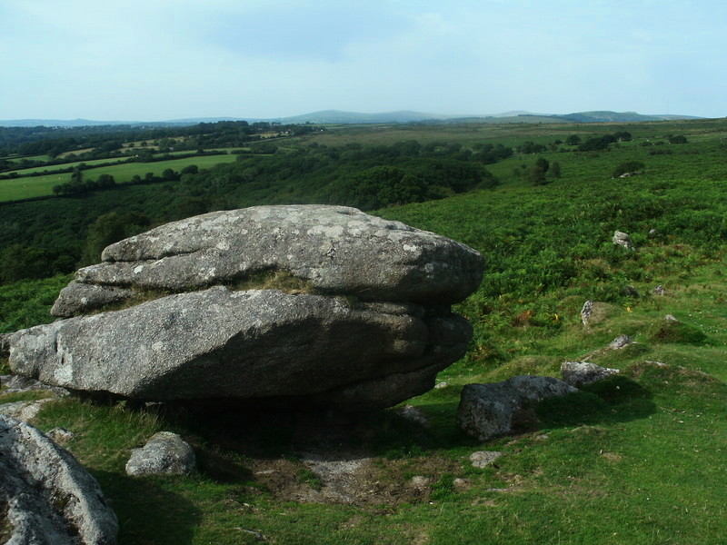
The site is situated on a promontory spur in a bend of the River Plym on the southwest edge of Dartmoor. A low, double wall cuts off the promontory and links a number of rock outcrops. The hill slopes steeply on the other sides of the 3ha site (Mercer 1997, 58). The 1.5m thick walls have a 2.75m gap between then and five possible entrances (Devon Sites & Monuments Record).
The enclosed area contains a number of hut circles (Silvester 1979, 188). Oswald et al. (2001, 86) suggest that the double walls and gaps there in, resemble closely the structure of a causewayed enclosure.
Within the enclosure is another wall that has been assigned to the Bronze Age as it has a hut circle built into it. Situated on the southwest edge of Dartmoor on a romontory with steep drops to the south.
Source: The Early Neolithic Tor Enclosures of Southwest Britain, Simon R. Davies
The University of Birmingham Ph.D Thesis (PDF)
Update September 2019: This Hillfort, Neolithic Enclosure and Enclosed Settlement are featured on the Prehistoric Dartmoor Walks (PDW) website - see their entries for:
Dewerstone Fort;
Dewerstone Neolithic Enclosure; and
Dewerstone Hill Enclosed Settlement.
These enclosures are also recorded as:
Pastscape Monument No. 439553 [which describes this site as "A poorly preserved stone-built double walled enclosure, the outer of two enclosures ... Thought to represent the site of a Neolithic hilltop enclosure"] and
Pastscape Monument No. 915508 ["The inner of two enclosures. Fairly well-preserved remains of earth and stone built enclosure of Bronze Age date, with two associated hut circles"].
The Devon and Dartmoor HER also includes records for:
MDV2381 (Dewerstone Hill Pound);
MDV2380 (Dewerstone Enclosure or Hillfort); and
MDV63617 (Hut circle in enclosure on Dewerstone Hill).
This site is also scheduled as Historic England List ID 1020241 (Prehistoric enclosures on Dewerstone Hill, 500m south east of Dewerstone Cottage).
You may be viewing yesterday's version of this page. To see the most up to date information please register for a free account.
Do not use the above information on other web sites or publications without permission of the contributor.
Click here to see more info for this site
Nearby sites
Key: Red: member's photo, Blue: 3rd party photo, Yellow: other image, Green: no photo - please go there and take one, Grey: site destroyed
Download sites to:
KML (Google Earth)
GPX (GPS waypoints)
CSV (Garmin/Navman)
CSV (Excel)
To unlock full downloads you need to sign up as a Contributory Member. Otherwise downloads are limited to 50 sites.
Turn off the page maps and other distractions
Nearby sites listing. In the following links * = Image available
701m NE 50° Wigford Down 1* Stone Circle (SX5442464421)
1.3km NE 38° Wigford Down 4* Cairn (SX5469364969)
1.3km NE 39° Wigford Down 5* Cairn (SX5470264962)
1.3km NE 36° Wigford Down 9 Cairn (SX5469065050)
1.4km ESE 110° Shaden Cross* Ancient Cross (SX55226347)
1.5km ESE 108° Shaugh Moor Cairns* Cairn (SX5531763467)
1.6km ENE 62° Cadover Cross* Ancient Cross (SX553647)
1.6km ESE 106° Shaugh Moor North Cairn Circle Cairn (SX5541063490)
1.6km ESE 110° Shaugh Moor Circle* Stone Circle (SX554634)
1.6km ESE 109° Shaugh Moor South Cairn Circle* Cairn (SX5541863425)
1.6km ESE 108° Shaugh Moor row* Stone Row / Alignment (SX5543063443)
1.7km ESE 113° Shaugh Moor Settlement* Ancient Village or Settlement (SX554633)
1.7km ESE 106° Shaugh Moor Platform Cairn Circle Cairn (SX5548063470)
2.1km SE 133° Hawk's Tor (Shaugh Moor)* Cave or Rock Shelter (SX55396250)
2.1km ESE 110° Saddlesborough Ring Cairn (SX55876321)
2.3km SE 136° Shaugh Moor South Stone Circle (SX554623)
2.4km ENE 59° Brisworthy Cup Stone* Rock Art (SX55986516)
2.8km SE 133° Collard Tor W* Stone Row / Alignment (SX5583362045)
2.8km SE 133° Collard Tor circle* Stone Circle (SX5584062030)
2.8km SE 133° Collard Tor E* Stone Row / Alignment (SX55856204)
2.9km ENE 68° Shadyback Tor settlement* Ancient Village or Settlement (SX566650)
2.9km NNE 13° Marchant's Cross* Ancient Cross (SX54626681)
2.9km NE 48° Ringmoor Down Cairn 4* Ring Cairn (SX5610265907)
3.0km ENE 58° Brisworthy* Stone Circle (SX5646765489)
3.0km NE 48° Ringmoor Down Cairn 3* Cairn (SX5615465937)
View more nearby sites and additional images


 We would like to know more about this location. Please feel free to add a brief description and any relevant information in your own language.
 Wir möchten mehr über diese Stätte erfahren. Bitte zögern Sie nicht, eine kurze Beschreibung und relevante Informationen in Deutsch hinzuzufügen.
 Nous aimerions en savoir encore un peu sur les lieux. S'il vous plaît n'hesitez pas à ajouter une courte description et tous les renseignements pertinents dans votre propre langue.
 Quisieramos informarnos un poco más de las lugares. No dude en añadir una breve descripción y otros datos relevantes en su propio idioma.