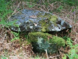
<< Our Photo Pages >> Port Donain Chambered Cairn - Chambered Cairn in Scotland in Isle of Mull
Submitted by vicky on Sunday, 21 July 2002 Page Views: 7304
Neolithic and Bronze AgeSite Name: Port Donain Chambered CairnCountry: Scotland County: Isle of Mull Type: Chambered Cairn
Nearest Village: Lochdon
Map Ref: NM73752925 Landranger Map Number: 49
Latitude: 56.401149N Longitude: 5.668194W
Condition:
| 5 | Perfect |
| 4 | Almost Perfect |
| 3 | Reasonable but with some damage |
| 2 | Ruined but still recognisable as an ancient site |
| 1 | Pretty much destroyed, possibly visible as crop marks |
| 0 | No data. |
| -1 | Completely destroyed |
| 5 | Superb |
| 4 | Good |
| 3 | Ordinary |
| 2 | Not Good |
| 1 | Awful |
| 0 | No data. |
| 5 | Can be driven to, probably with disabled access |
| 4 | Short walk on a footpath |
| 3 | Requiring a bit more of a walk |
| 2 | A long walk |
| 1 | In the middle of nowhere, a nightmare to find |
| 0 | No data. |
| 5 | co-ordinates taken by GPS or official recorded co-ordinates |
| 4 | co-ordinates scaled from a detailed map |
| 3 | co-ordinates scaled from a bad map |
| 2 | co-ordinates of the nearest village |
| 1 | co-ordinates of the nearest town |
| 0 | no data |
Be the first person to rate this site - see the 'Contribute!' box in the right hand menu.
Internal Links:
External Links:
I have visited· I would like to visit
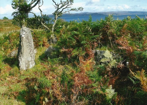
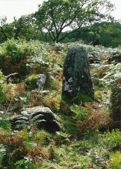
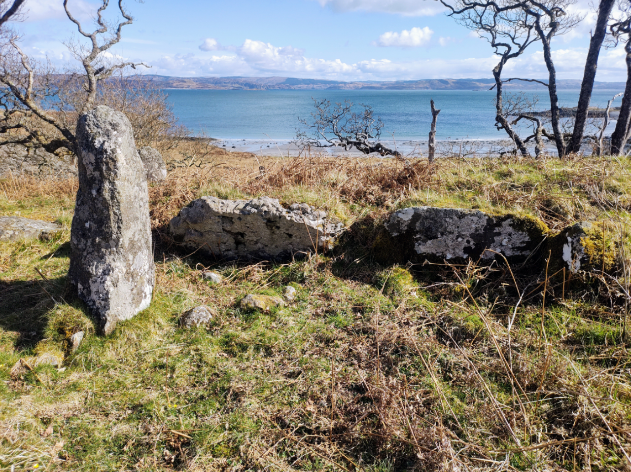
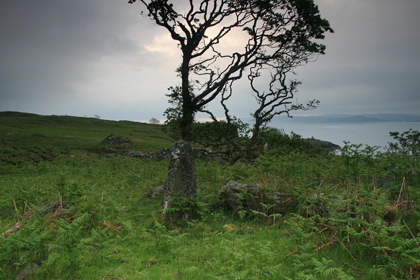
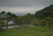
Gongoozler visited on 6th Apr 2023 - their rating: Cond: 3 Amb: 5 Access: 3 No convenient parking by Auchnacraig where track to the site leaves the road, but if you go 1.2 km further down the road towards Grass Point there is a small parking area marked Grasspoint Viewpoint. As an alternative to walking back up the road and taking the track to Port Donain, you can climb up to the viewpoint and then follow the coast south The way is not always obvious but keep away from the crags. Pass through a deer fence (kissing gate, not ladder stile) into pasture (highland cattle grazing when I visited) and then through another deer fence onto rougher ground. Sometimes a path is obvious, some times not, and you need to avoid the boggy ground. Descend towards Port Donain, eventually picking up the track from Auchnacraig. On a good day it is worth descending to the beach once you have inspected the cairns.
banjonutty have visited here
Canmore site no. 22649.
You may be viewing yesterday's version of this page. To see the most up to date information please register for a free account.



Do not use the above information on other web sites or publications without permission of the contributor.
Click here to see more info for this site
Nearby sites
Key: Red: member's photo, Blue: 3rd party photo, Yellow: other image, Green: no photo - please go there and take one, Grey: site destroyed
Download sites to:
KML (Google Earth)
GPX (GPS waypoints)
CSV (Garmin/Navman)
CSV (Excel)
To unlock full downloads you need to sign up as a Contributory Member. Otherwise downloads are limited to 50 sites.
Turn off the page maps and other distractions
Nearby sites listing. In the following links * = Image available
106m NW 308° Port Donain Cairn* Cairn (NM73672932)
5.1km NNW 345° Duart Stone Setting* Standing Stones (NM727342)
5.1km NNW 344° Duart Standing Stone* Standing Stone (Menhir) (NM72653421)
7.2km NNE 32° Eilean Musdile (Lismore) Standing Stone (Menhir) (NM779351)
8.3km E 82° Slatrach Cairn Cairn (NM82043002)
8.3km E 85° Sidhean Riabhach* Cist (NM82092959)
8.7km NE 36° Dun Chruban* Stone Fort or Dun (NM79243598)
9.1km ESE 108° Dun Gallanach* Stone Fort or Dun (NM823260)
9.5km NE 38° An Dun 2 (Lismore)* Stone Fort or Dun (NM79983651)
9.6km ESE 105° Dun Ormidale* Stone Fort or Dun (NM82902630)
9.8km NNW 334° Scallastle* Stone Row / Alignment (NM6998438286)
10.3km NE 39° Fiart Dun* Stone Fort or Dun (NM80673687)
10.5km NE 35° Aon Garbh Cairns* Cairn (NM80213751)
10.7km NE 35° Aon Garbh Cist* Cist (NM80393772)
10.8km SE 141° Duachy* Stone Row / Alignment (NM80142052)
11.0km E 98° Glenshellach* Rock Art (NM8459027055)
11.2km NE 38° An Dun Broch* Broch or Nuraghe (NM81133768)
11.2km SE 127° Dunan Buiaig* Cairn (NM82322200)
11.3km SE 126° Kilninver Standing Stone (Menhir) (NM82502207)
11.6km ENE 78° Oban cup marked stone* Rock Art (NM85243097)
11.6km ENE 76° Dunollie Stone Fort or Dun (NM85223148)
11.9km ESE 112° Dunan Molach Stone Fort or Dun (NM84522416)
12.0km E 96° Ariogan Cairn* Cairn (NM85602731)
12.1km S 172° Dun Aorain Stone Fort or Dun (NM74751717)
12.2km E 81° Macarthur Cave, Oban* Cave or Rock Shelter (NM85923043)
View more nearby sites and additional images


 We would like to know more about this location. Please feel free to add a brief description and any relevant information in your own language.
 Wir möchten mehr über diese Stätte erfahren. Bitte zögern Sie nicht, eine kurze Beschreibung und relevante Informationen in Deutsch hinzuzufügen.
 Nous aimerions en savoir encore un peu sur les lieux. S'il vous plaît n'hesitez pas à ajouter une courte description et tous les renseignements pertinents dans votre propre langue.
 Quisieramos informarnos un poco más de las lugares. No dude en añadir una breve descripción y otros datos relevantes en su propio idioma.