<< Our Photo Pages >> Callanish 2 - Stone Circle in Scotland in Isle of Lewis
Submitted by Gerald_Ponting on Wednesday, 25 September 2002 Page Views: 34417
Neolithic and Bronze AgeSite Name: Callanish 2 Alternative Name: Cnoc Ceann a'Gharraidh, Calanais II, Calanais 2Country: Scotland County: Isle of Lewis Type: Stone Circle
Nearest Town: Stornoway Nearest Village: Callanish
Map Ref: NB2221432614 Landranger Map Number: 8
Latitude: 58.194541N Longitude: 6.729133W
Condition:
| 5 | Perfect |
| 4 | Almost Perfect |
| 3 | Reasonable but with some damage |
| 2 | Ruined but still recognisable as an ancient site |
| 1 | Pretty much destroyed, possibly visible as crop marks |
| 0 | No data. |
| -1 | Completely destroyed |
| 5 | Superb |
| 4 | Good |
| 3 | Ordinary |
| 2 | Not Good |
| 1 | Awful |
| 0 | No data. |
| 5 | Can be driven to, probably with disabled access |
| 4 | Short walk on a footpath |
| 3 | Requiring a bit more of a walk |
| 2 | A long walk |
| 1 | In the middle of nowhere, a nightmare to find |
| 0 | No data. |
| 5 | co-ordinates taken by GPS or official recorded co-ordinates |
| 4 | co-ordinates scaled from a detailed map |
| 3 | co-ordinates scaled from a bad map |
| 2 | co-ordinates of the nearest village |
| 1 | co-ordinates of the nearest town |
| 0 | no data |
Internal Links:
External Links:
I have visited· I would like to visit
coin would like to visit
bishop_pam visited on 8th Sep 2024 - their rating: Cond: 5 Amb: 5 Access: 4
drolaf visited on 27th May 2024 - their rating: Cond: 3 Amb: 5 Access: 3 Good idea to at least visit Callanish 2 and 3 and walk the wider landscape.
Jansold visited on 8th May 2022 - their rating: Amb: 4 Access: 4
sba_dk visited on 13th Jul 2019 - their rating: Cond: 4 Amb: 4 Access: 4
rrmoser visited on 27th Jun 2017 - their rating: Cond: 3 Amb: 4 Access: 4
Swinside visited on 1st Jul 2013 - their rating: Cond: 3 Amb: 4 Access: 4
markj99 visited on 2nd Jul 2011 - their rating: Cond: 3 Amb: 4 Access: 3 There is a charming simplicity to Callanish II in comparison to its complicated neighbour.
BolshieBoris visited on 1st Jul 2004 - their rating: Cond: 4 Amb: 5 Access: 4
mark_a visited September 2020
SandyG Andy B have visited here
Average ratings for this site from all visit loggers: Condition: 3.57 Ambience: 4.38 Access: 3.75

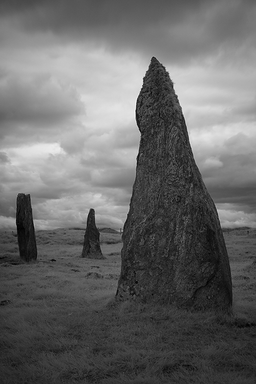
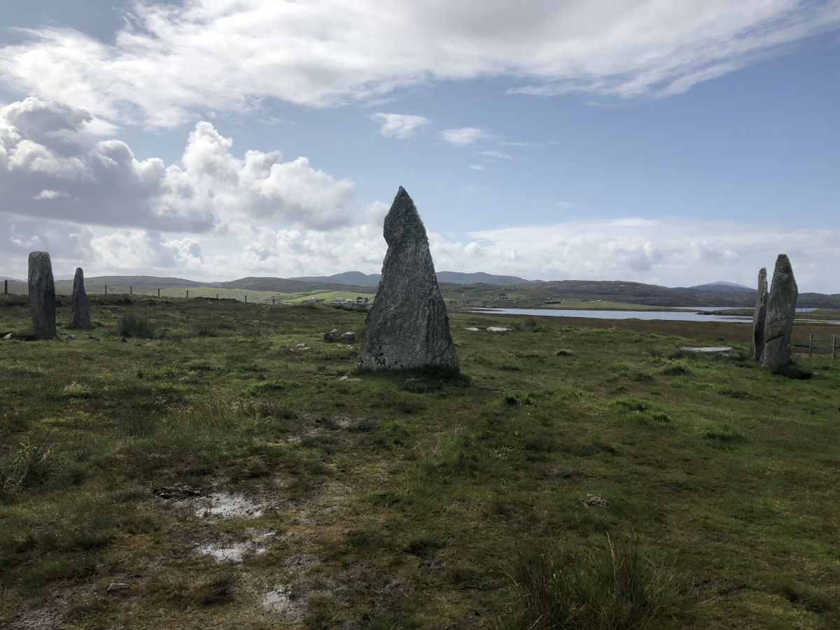
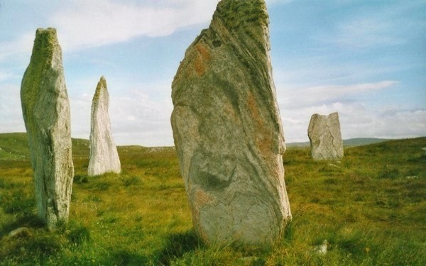
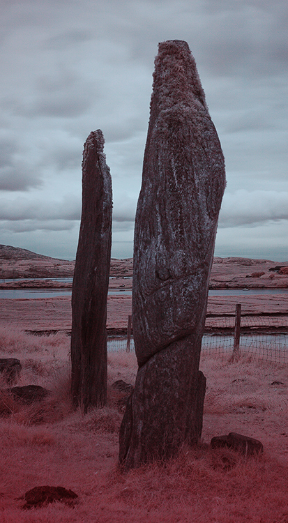
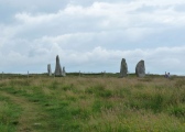
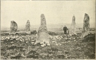
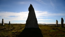
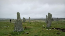
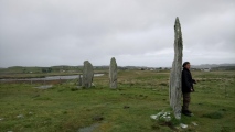
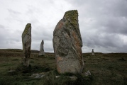
All records of the site since the earliest in 1846 agree concerning these five stones, but they differ about other features of the site. Five published plans exist and there are at least six others in various archives. Several authors give measurements of stones and descriptions oft the site. Ellice gave a first-hand, but rather inadequate, account of the 1858 peat clearance. In the same year, Stuart published a paper with a plan of the site and notes on a particular stone. From all these documentary sources, the following notes have been compiled.
Before the peat. was cleared, the five erect stones were the only visible features at the site. The tallet was then only 7' 3" tall, so it is clear that around three feet of peat was stripped away. Within the circle and under the peat, additional short and prone stones were found. According to Ellice, the whole of the floor inside the circle was "causewayed". Presumably this meant paved or cobbled.
Five small holes were found, lined with smooth round seashore pebbles. One account says that all of these were four inches square, but Sharbau. usuallv a reliable source, gives a measurement of 12" by 20" -for the largest. Fragments of woad charcoal were found within the holes. They wer'e variously called altars, fireplaces or wells! Aubrey Burl probably came nearesr the mark when he suqgested that they may have been post-holes; parhaps evidence that some kind of wooden structure once stood within the circles.
These holes are now filled in and almost impossible to distlnguish. Sometimes they can be seen as slight depressions, but only in the winter months when there is little vegetation to hide them.
Standing in front of stone 1 was another shorter stone, number 9, which fell sometime betwpen 1860 and 1904. It was last shown on a plan drawn in 1914, but even then it was prone. Stones 1 and 9 formed the "north group" which was drawn by an anonymous artist in 1860. It is. not certain if the flat. almost buried, stone to be seen near stone 1 today is stone 9 or a remnant of it.
A cairn was situated near the centre of the circle, but its position varies so much in plans and descriptions from 1953 to 1914 that. one wonders if the stones of the cairn were periodically moved a.round by treasure hunters! Although the cairn is still visible today, most of the stones have now been dispersed.
In 1857, Palmer showed an outlying stone, number II on our plan. It cannot be seen today. Perhaps it has been covered by new turf growth. Certainly this process has encroached on the three slabs lying in the north-west arc of the ring. Only two of these are visible today. The other is covered by turf.
Stuart's paper claimed that stone 10 had marks, possibly in Ogham script. Even the experts of those days doubted this. Today it seems obvious that the "script" consisted solely of natural cracks in the stone. However, the stone was "removed to Stornoway" for its protection!
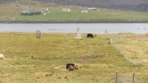
We undertook an intensive search for information about the stone, and eventually found the most likely explanation of what happened. Sir James Matheson had the stone erected opposite Creed Lodge gates, then the main entrance to the grounds of his residence Lews Castle. It remained standing there for about 60 years. In 1919, while the walls of the Castle Grounds were being repaired after wartime neglect, the stone was partially broken up for building material. The workmen concerned were severely reprimanded for this action. Perhaps the boulder which still lies by the roadside here, shown in the photograph, is the remains of this megalith.
According to the plan drawn by Ron Curtis, the two axes of the ellipse formed by the stones at site II were 26 Megalithic Yards long and 22 MY long, respectively. He points out that Site XI is almost due north -from site II, producing a line parallel with the line -from IV to X.
Margaret Ponting and I consider that the major axis alignment of 170.5 degrees represents a symbolic indication of the southerly extreme moonrise, similar to the situation found also at the other ring sites.
We suggested three inter-site lines with possible astronomical significance.
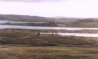
Site VI would have been silhouetted against the rising moon at the southern extreme of the minor standstill. Site X would have been very conspicuous on the horizon from this point when the stones were erect. Cnoc a Phrionnsa. while not on the horizon, may have been clearly visible when the cairn was complete, especiliy if it was faced with white quarts. At the northern extreme of the major standstill, the
moon would have risen over site X and set over Phrionnsa, as seen from II.
ACCESS: Leave Callanish on the road towards Stornoway. Take a minor road to the right before the road rises up towards Callanish III. The road is not signposted but there is a large boulder on the corner. At the end of this road (500m), walk through a gate and take a footpath 100m across a field. A second gate gives access to the site. Be sure to close both gates
Text taken from "The Stones around Callanish" by Gerald Ponting and Margaret Ponting (now Margaret Curtis).
home.clara.net/gponting/
You may be viewing yesterday's version of this page. To see the most up to date information please register for a free account.







These are just the first 25 photos of Callanish 2. If you log in with a free user account you will be able to see our entire collection.
Do not use the above information on other web sites or publications without permission of the contributor.
Click here to see more info for this site
Nearby sites
Key: Red: member's photo, Blue: 3rd party photo, Yellow: other image, Green: no photo - please go there and take one, Grey: site destroyed
Download sites to:
KML (Google Earth)
GPX (GPS waypoints)
CSV (Garmin/Navman)
CSV (Excel)
To unlock full downloads you need to sign up as a Contributory Member. Otherwise downloads are limited to 50 sites.
Turn off the page maps and other distractions
Nearby sites listing. In the following links * = Image available
115m S 183° Loch Roag Timber Circle (NB222325)
315m ENE 68° Callanish 3* Stone Circle (NB2251532710)
636m NW 316° Callanish 19* Stone Circle (NB218331)
650m ENE 60° Callanish 14* Standing Stone (Menhir) (NB228329)
714m SE 135° Cnoc Fillibhir Mhor* Stone Row / Alignment (NB22683207)
995m WNW 290° Callanish* Stone Circle (NB2129833013)
1.0km WNW 289° Callanish I* Stone Circle (NB2128633009)
1.3km NNE 33° Callanish 10* Stone Circle (NB22973362)
1.5km NW 318° Callanish 16* Standing Stone (Menhir) (NB213338)
1.6km ESE 108° Callanish 17* Stone Circle (NB237320)
1.6km NNW 330° Callanish 13* Standing Stones (NB215341)
1.7km NNW 346° Breasclete Park Stone Circle (NB21923426)
2.2km NNW 345° Olcote Kerbed Cairn* Cairn (NB2179634733)
2.2km N 355° Cnoc Gearraidh Nighean Choinnich Stone Circle (NB22183484)
2.3km SSE 157° Callanish 4* Stone Circle (NB2298830412)
2.4km NNW 340° Callanish 12* Standing Stone (Menhir) (NB2155634967)
2.6km SSE 154° Callanish 7* Ancient Mine, Quarry or other Industry (NB232302)
3.0km SSE 152° Callanish 5* Stone Row / Alignment (NB23432990)
3.1km N 356° Callanish 11* Standing Stone (Menhir) (NB22233569)
3.1km NNW 335° Cnoc a Phrionnsa* Chambered Cairn (NB211355)
3.1km SSE 156° Callanish 9* Standing Stones (NB233297)
3.3km SE 129° Callanish 6* Standing Stones (NB24653034)
4.0km SE 143° Callanish 18* Standing Stone (Menhir) (NB24402923)
4.9km WNW 289° Callanish 15* Standing Stone (Menhir) (NB177345)
5.7km WNW 284° Dun Barraglom Broch or Nuraghe (NB16773435)
View more nearby sites and additional images


 We would like to know more about this location. Please feel free to add a brief description and any relevant information in your own language.
 Wir möchten mehr über diese Stätte erfahren. Bitte zögern Sie nicht, eine kurze Beschreibung und relevante Informationen in Deutsch hinzuzufügen.
 Nous aimerions en savoir encore un peu sur les lieux. S'il vous plaît n'hesitez pas à ajouter une courte description et tous les renseignements pertinents dans votre propre langue.
 Quisieramos informarnos un poco más de las lugares. No dude en añadir una breve descripción y otros datos relevantes en su propio idioma.