Contributory members are able to log private notes and comments about each site
Sites markj99 has logged. View this log as a table or view the most recent logs from everyone
Carlock Hill
Date Added: 9th Feb 2023
Site Type: Cairn
Country: Scotland (South Ayrshire)
Visited: Yes on 6th Feb 2023. My rating: Condition 2 Ambience 4 Access 3
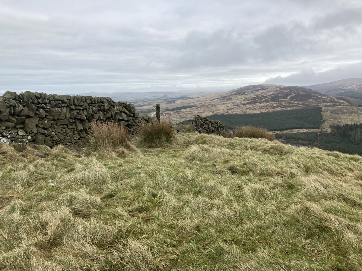
Carlock Hill submitted by markj99 on 7th Feb 2023. Carlock Hill Cairn viewed from SW.
(View photo, vote or add a comment)
Log Text: Many people speed past this small conical hill W of the A77, but it is a short scramble up a steep slope to a 360° panoramic view.
Drumduff
Date Added: 9th Feb 2023
Site Type: Cairn
Country: Scotland (South Ayrshire)
Visited: Yes on 6th Feb 2023. My rating: Condition 3 Ambience 4 Access 3
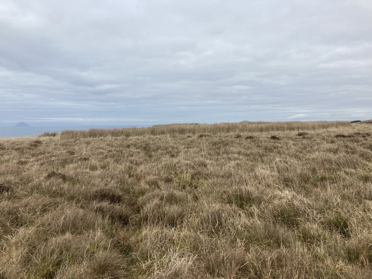
Drumduff submitted by markj99 on 7th Feb 2023. Drumduff Cairn viewed from S.
(View photo, vote or add a comment)
Log Text: It is very satisfying to find a cairn on the map, plot a route, then actually stand in front of the cairn, in situ in its landscape. The cherry on the cake is posting the site on The Megalithic Portal, enabling people to follow in one's footsteps. I was probably the first visitor to this lonely cairn for many years.
Balmalloch Chambered Cairn
Date Added: 28th Oct 2023
Site Type: Chambered Cairn
Country: Scotland (South Ayrshire)
Visited: Yes on 25th Oct 2023. My rating: Condition 3 Ambience 5 Access 1
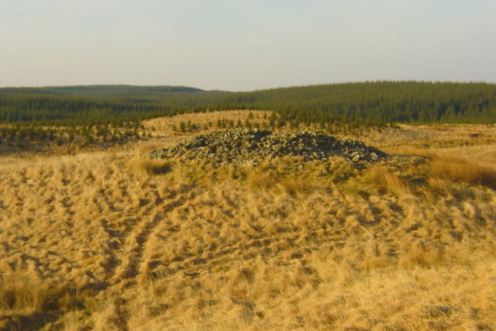
Balmalloch Chambered Cairn submitted by mickm on 9th Jan 2005. Balmalloch, Bargrennan type chambered cairn, viewed from higher ground to the south. Like many cairns of this type, it is situated on a knoll. Note also how the cairn is silhouetted against the similarly shaped Roughlea Rig to the north. The cairn is in very good condition, surviving up to 2.5m in height, with a diameter of c.17m.
(View photo, vote or add a comment)
Log Text: Take the dead-end Forest Road at Blair Farm off the A714 c. 0.5 mile SE of Barrhill. Follow this narrow lane for c. 2.7 miles to Darnaconnar Farm at NX 27654 83371. There are three options from here. If you have a 4x4 you can follow the track running N from here or go by off-road bike or walk if necessary. The track is little used and overgrown in the centre. Follow the track for c. 0.8 miles to Balmalloch ruin at the end of the road. Walk NW along a path between trees for c. 120 yards to reach a forest clearing. Balmalloch Cairnfield is located c. 100 yard W from here. The area is planted with small pine trees. Balmalloch Chambered Cairn is c. 350 yards NW of this point across ditches and small trees. Make your best way towards NX 26393 84533 to reach Balmalloch Chambered Cairn.
Laggan Cairn (Barrhill)
Date Added: 28th Oct 2023
Site Type: Cairn
Country: Scotland (South Ayrshire)
Visited: Yes on 25th Oct 2023. My rating: Condition 2 Ambience 3 Access 3
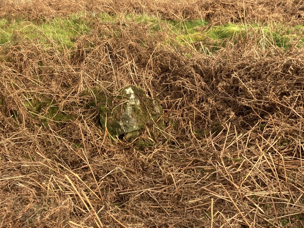
Laggan Cairn (Barrhill) submitted by markj99 on 28th Oct 2023. Central Hollow of Laggan Cairn (Barrhill) viewed from W.
(View photo, vote or add a comment)
Log Text: Take the dead-end Forest Road at Blair Farm off the A714 c. 0.5 mile SE of Barrhill. Follow this narrow lane for c. 1 mile to a ruined house on the left of the road at NX 25692 82407. Park up and follow an overgrown track NW for c. 600 yards to a corner at NX 25263 82699. Walk N towards a gate in a deer fence. Walk W through rough boggy ground for c. 150 yards to the deer fence. Follow the deer fence N through similar terrain for c. 300 yards to Laggan Cairn (Barrhill) at NX 25354 82970.
Balmalloch Cairnfield
Date Added: 28th Oct 2023
Site Type: Barrow Cemetery
Country: Scotland (South Ayrshire)
Visited: Yes on 25th Oct 2023. My rating: Condition 1 Ambience 3 Access 1
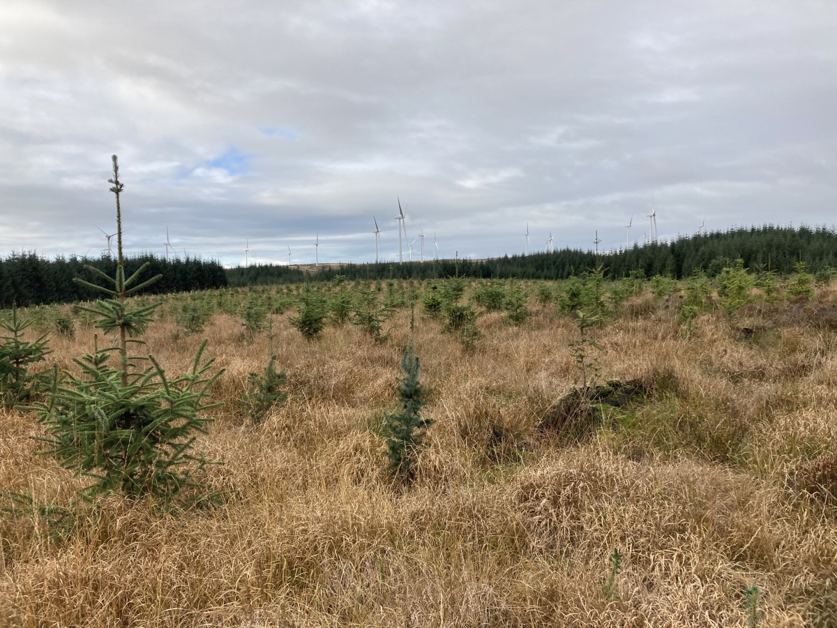
Balmalloch Cairnfield submitted by markj99 on 27th Oct 2023. Balmalloch Cairnfield viewed from SE.
(View photo, vote or add a comment)
Log Text: In its current condition Balmalloch Cairnfield is not worth visiting however you can walk through it on the way to Balmalloch Cairn.
East Threave
Date Added: 6th Nov 2023
Site Type: Cairn
Country: Scotland (South Ayrshire)
Visited: Yes on 2nd Jul 2023. My rating: Condition 2 Ambience 4 Access 3
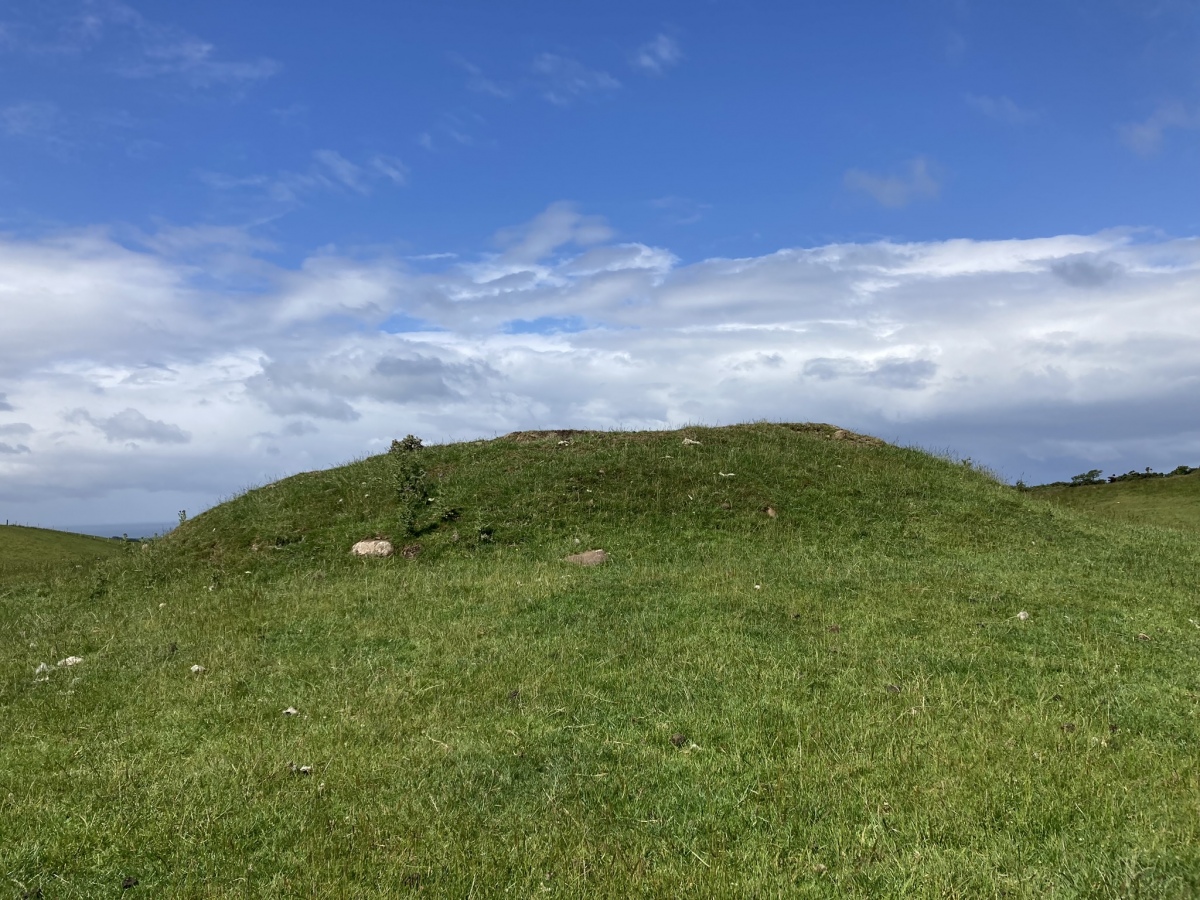
East Threave submitted by markj99 on 6th Jul 2023. East Threave Cairn viewed from E.
(View photo, vote or add a comment)
Log Text: Directions to East Threave: Take the B741 Dailly road off the A77, N of Girvan. After c. 5 miles stay straight on for Maybole at the Dailly junction. Continue towards Maybole for c. 1 mile to a minor road on the left, signed to Kirkoswald. Take this single track road for c. 1.2 miles to a sharp left at a farm road with a cattle grid. After c. 0.3 miles on this farm road bear right onto a rough track. Follow this muddy pot holed track for c. 0.6 miles to a gateway on your left at NS 25887 04226. There is room to park on the right. Make your way though the gate towards East Threave Cairn in the grassy field.
Cairn Hill (Dalquharran)
Date Added: 6th Nov 2023
Site Type: Cairn
Country: Scotland (South Ayrshire)
Visited: Yes on 1st Aug 2023. My rating: Condition 1 Ambience 3 Access 4
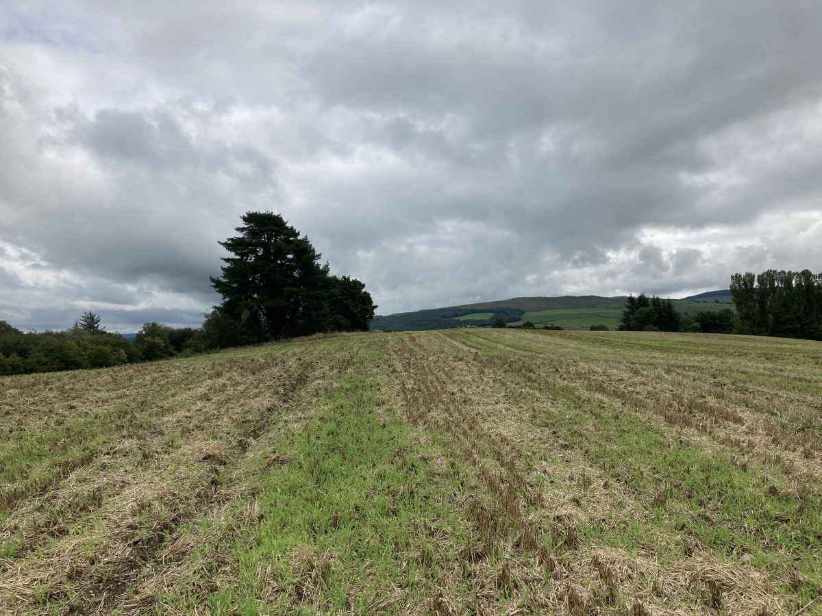
Cairn Hill (Dalquharran) submitted by markj99 on 1st Aug 2023. Cairn Hill (Dalquharran) Cairn viewed from west.
(View photo, vote or add a comment)
Log Text: Directions to Cairn Hill (Dalquharran) : Take the B741 Dailly road off the A77, N of Girvan. After c. 5 miles stay straight on for Maybole at the Dailly junction. Continue for 75 yards to park up in estate gates on the right. Walk c. 100 yards S into the estate to reach a path heading E into a wood. Follow the path E for c. 150 yards then head S for c. 50 yards along a path heading into a field. The cairn is c. 130 yards SE of the entrance into the field.
Captain's Bridge (Drummochreen) SE
Date Added: 6th Nov 2023
Site Type: Stone Fort or Dun
Country: Scotland (South Ayrshire)
Visited: Yes on 2nd May 2023. My rating: Condition 2 Ambience 4 Access 4
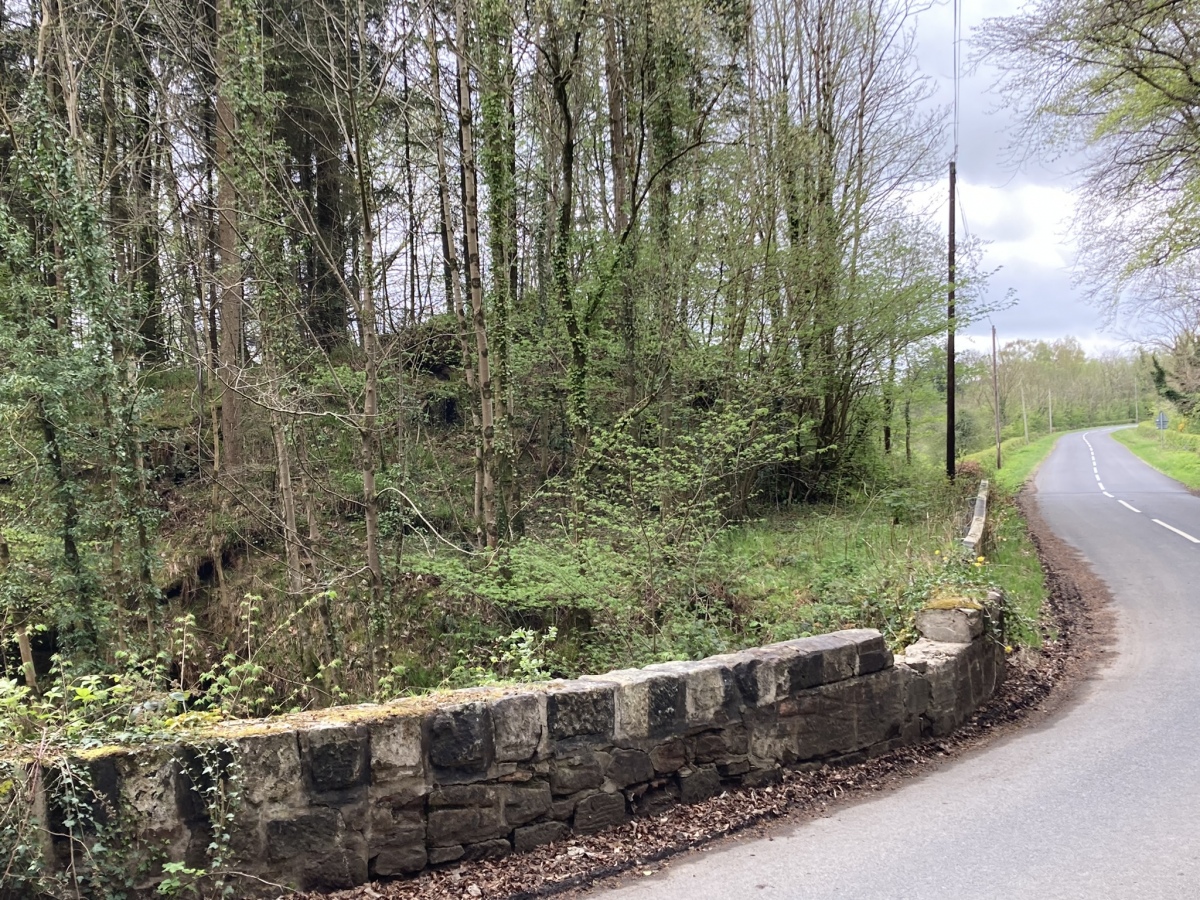
Captain's Bridge (Drummochreen) SE submitted by markj99 on 14th May 2023. Captain's Bridge (Drummochreen) SE Dun viewed from Captain's Bridge.
(View photo, vote or add a comment)
Log Text: Directions to Captain's Bridge (Drummochreen) SE: Take the B741 Dailly road off the A77, N of Girvan. After c. 5 miles stay straight on for Maybole at the Dailly junction. Continue towards Maybole for c. 1.7 miles to a farm junction on the left. Park up and walk c. 150 yards SW round the corner to Captain's Bridge (Drummochreen) SE on the S end of the bridge.
Moss Knowes
Date Added: 14th Nov 2023
Site Type: Natural Stone / Erratic / Other Natural Feature
Country: Scotland (South Ayrshire)
Visited: Yes on 26th Sep 2009. My rating: Condition 4 Ambience 4 Access 1
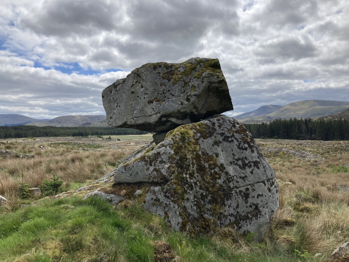
Moss Knowes submitted by markj99 on 28th May 2023. Moss Knowes Rocking Stone viewed from NW.
(View photo, vote or add a comment)
Log Text: When I first saw Moss Knowes Rocking Stone it was on the edge of a pine forest on the way to Tunskeen Bothy.
Moss Knowes
Date Added: 14th Nov 2023
Site Type: Natural Stone / Erratic / Other Natural Feature
Country: Scotland (South Ayrshire)
Visited: Yes on 27th May 2023. My rating: Condition 4 Ambience 4 Access 1

Moss Knowes submitted by markj99 on 28th May 2023. Moss Knowes Rocking Stone viewed from NW.
(View photo, vote or add a comment)
Log Text: On my return to Moss Knowe Rocking Stone, the pine forest had been felled. The stone was now on the edge of a large clearing, still intact.
Lyonston Stone
Date Added: 28th Nov 2023
Site Type: Standing Stone (Menhir)
Country: Scotland (South Ayrshire)
Visited: Yes on 28th Nov 2023. My rating: Condition 4 Ambience 3 Access 4
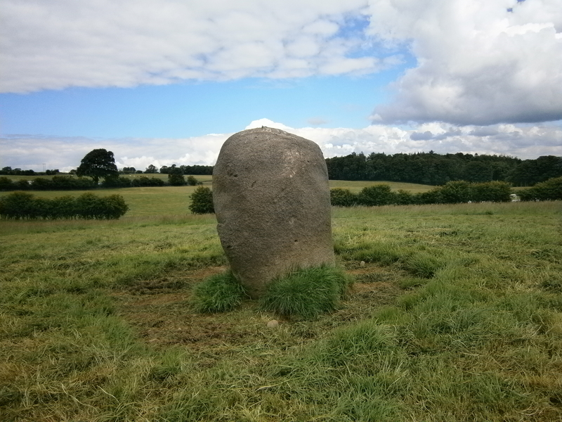
Lyonston Stone submitted by markj99 on 29th Jun 2019. Lyonston Stone viewed from N.
(View photo, vote or add a comment)
Log Text: I took the opportunity to revisit Lyonston Stone while travelling through Maybole. I normally take the Maybole bypass to and from Ayr. Take the Kirkmichael Road at the E edge of Maybole. After a quarter of a mile there lay-by on the right side of the road. Walk 25 yards back towards Maybole to the iron stile into the field on your right. Follow the wall for 75 yards to the iron stile at which point you can see the stone left of you in the next field.
Captain's Bridge (Drummochreen) W
Date Added: 28th Nov 2023
Site Type: Hillfort
Country: Scotland (South Ayrshire)
Visited: Yes on 2nd May 2023. My rating: Condition 2 Ambience 4 Access 4
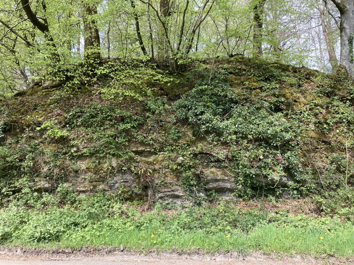
Captain's Bridge (Drummochreen) W submitted by markj99 on 15th May 2023. Captain's Bridge (Drummochreen) W Hillfort viewed from Captain's Bridge.
(View photo, vote or add a comment)
Log Text: Directions to Captain's Bridge (Drummochreen) W: Take the B741 Dailly road off the A77, N of Girvan. After c. 5 miles stay straight on for Maybole at the Dailly junction. Continue towards Maybole for c. 1.7 miles to a farm junction on the left at NS 28593 03605. Park up and walk c. 120 yards W along the dirt track to a green track on the left. Walk 5 yards along the green track. Look left to see the outer bank and ditch of the fort. Climb over the bank to enter the enclosure of Captain's Bridge (Drummochreen) W fort.
Millmoan Hill
Date Added: 19th May 2024
Site Type: Cairn
Country: Scotland (South Ayrshire)
Visited: Yes on 16th May 2024. My rating: Condition 2 Ambience 4 Access 3
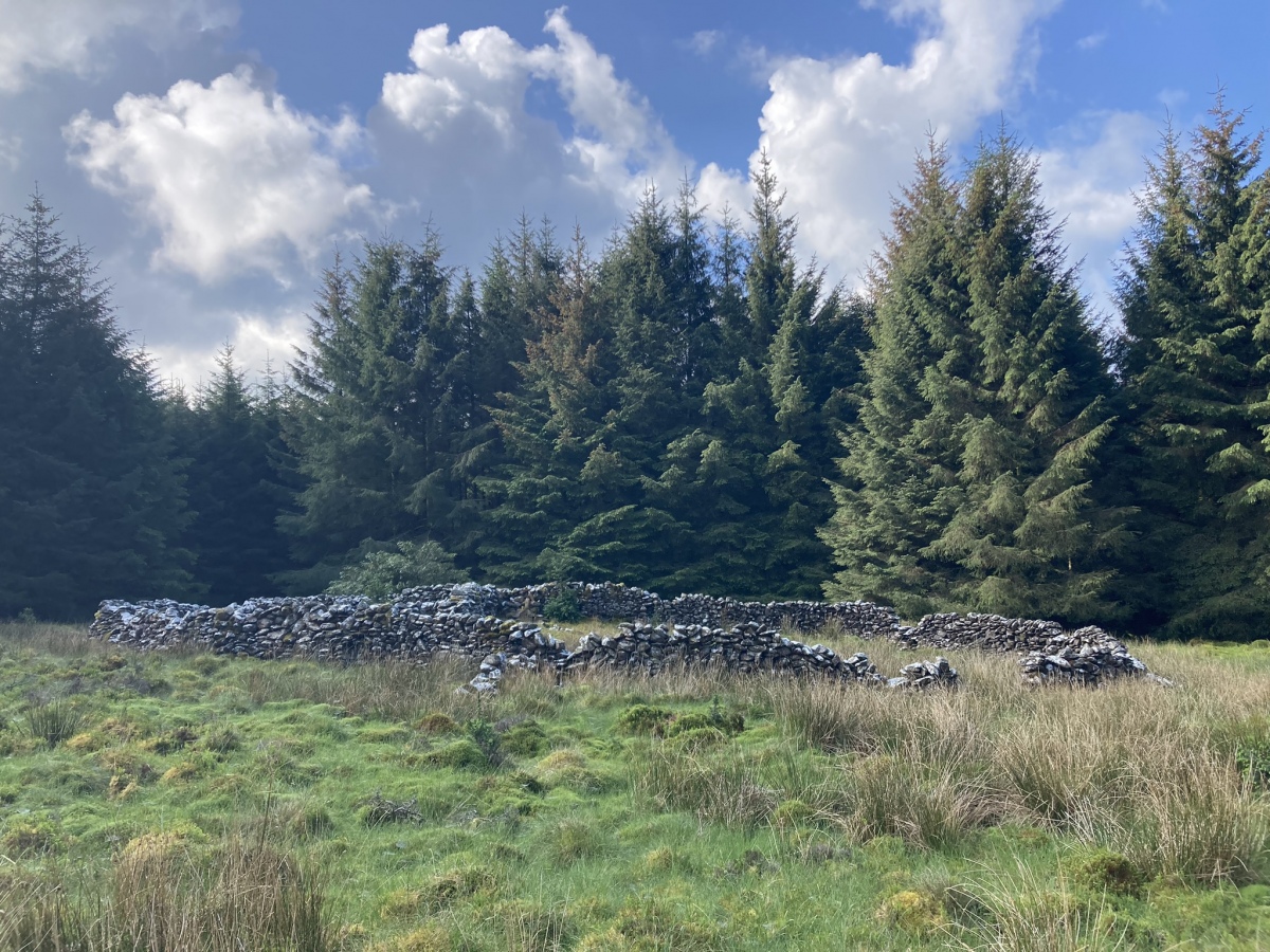
Millmoan Hill submitted by markj99 on 18th May 2024. Millmoan Hill Cairn viewed from N.
(View photo, vote or add a comment)
Log Text: Millmoan Hill Cairn is located in a forest clearing, easily accessed via an obscure forest track off the A77. Directions are available in Comments on the site page.
Duniewick
Date Added: 1st Aug 2024
Site Type: Hillfort
Country: Scotland (South Ayrshire)
Visited: Yes on 17th Jul 2024. My rating: Condition 2 Ambience 5 Access 3
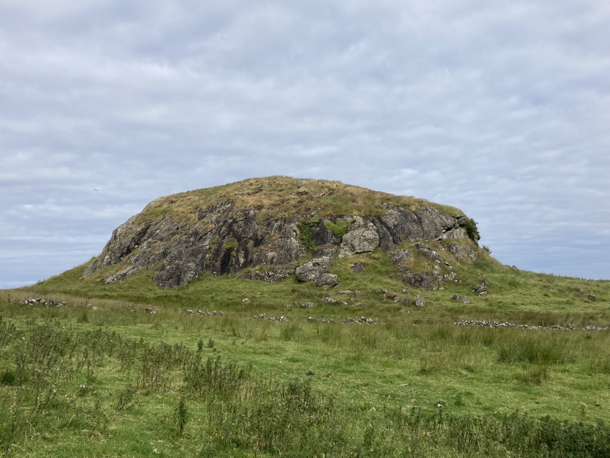
Duniewick submitted by markj99 on 25th Jul 2024. Duniewick Crag viewed from SE.
(View photo, vote or add a comment)
Log Text: Duniewick Hillfort is sited on Duniewick Crag, a large natural knoll on the NW slope of Knockdolian. It is possible to visit Knockdolian Cairn, given enough time and energy.
Knockeen Cairn
Date Added: 31st Jul 2024
Site Type: Cairn
Country: Scotland (South Ayrshire)
Visited: Yes on 14th Jul 2024. My rating: Condition 4 Ambience 4 Access 3
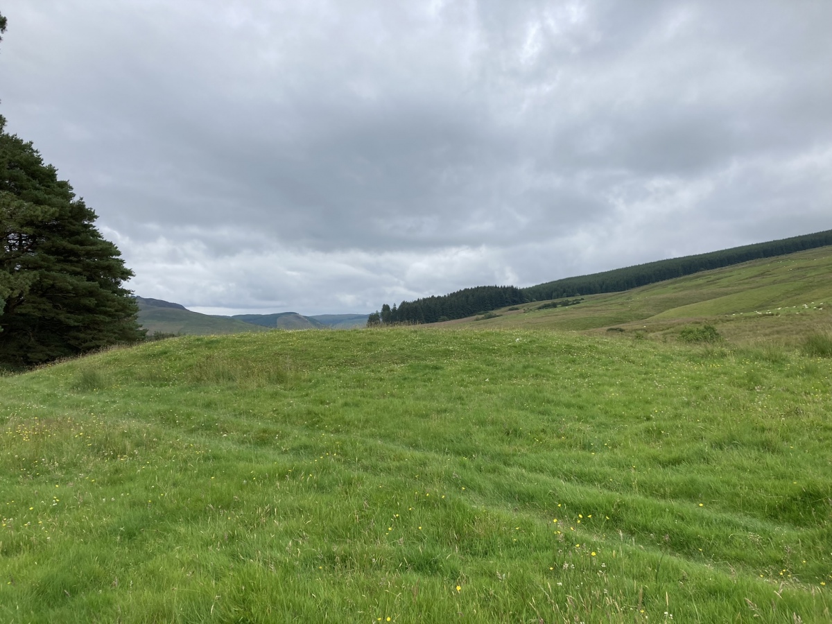
Knockeen Cairn submitted by markj99 on 23rd Jul 2024. Knockeen Cairn viewed from W.
(View photo, vote or add a comment)
Log Text: Knockeen is a hidden cairn, screened from view by a strip of trees. Access is via a farm track leading to the E side of the trees. The round grassy mound appears to be undisturbed except for a small central excavation. Directions are available on the site page.
Pinbreck Hill
Date Added: 1st Aug 2024
Site Type: Cairn
Country: Scotland (South Ayrshire)
Visited: Yes on 14th Jul 2024. My rating: Condition 2 Ambience 4 Access 3
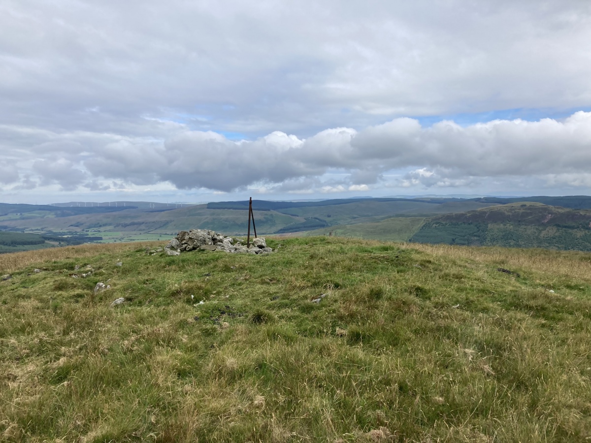
Pinbreck Hill submitted by markj99 on 22nd Jul 2024. Pinbreck Hill Cairn viewed from SE.
(View photo, vote or add a comment)
Log Text: Pinbreck Hill Cairn is in the middle of nowhere, ruined and on the summit of a pathless hill. My philosophy is that there is more satisfaction to be gained from finding this site than being one of hundreds of people at Stonehenge.
Witching Stone (Dipple)
Date Added: 26th Oct 2024
Site Type: Standing Stone (Menhir)
Country: Scotland (South Ayrshire)
Visited: Yes on 25th Oct 2024. My rating: Condition 4 Ambience 4 Access 3
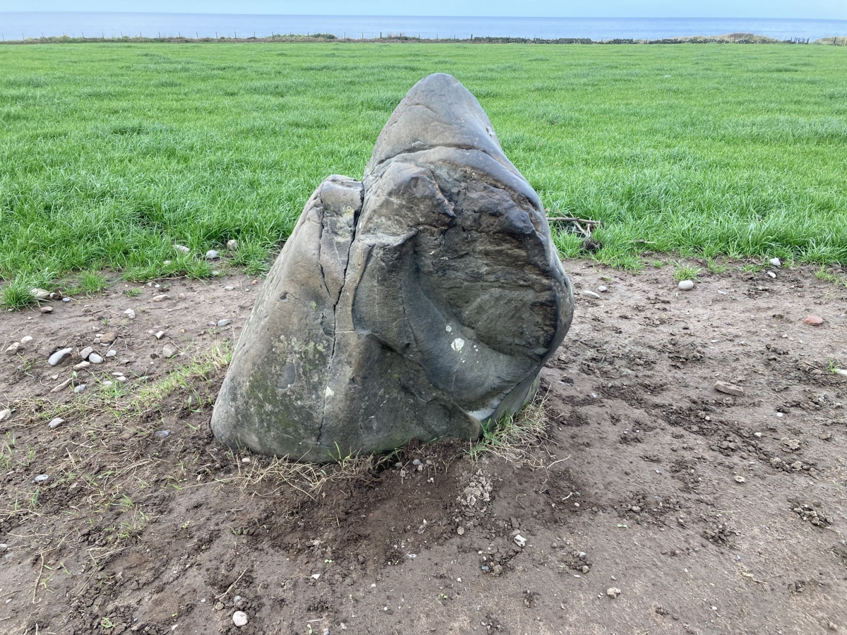
Witching Stone (Dipple) submitted by markj99 on 26th Oct 2024. Witching Stone (Dipple) viewed from SE.
(View photo, vote or add a comment)
Log Text: I have been driving past this stone for more years than I care to remember. It is often surrounded by potatoes and vegetation. When I saw the naked standing stone I knew I had to record it for posterity.
Auchensoul Hill
Date Added: 8th Jan 2025
Site Type: Cairn
Country: Scotland (South Ayrshire)
Visited: Yes on 29th Dec 2024. My rating: Condition 2 Ambience 5 Access 3
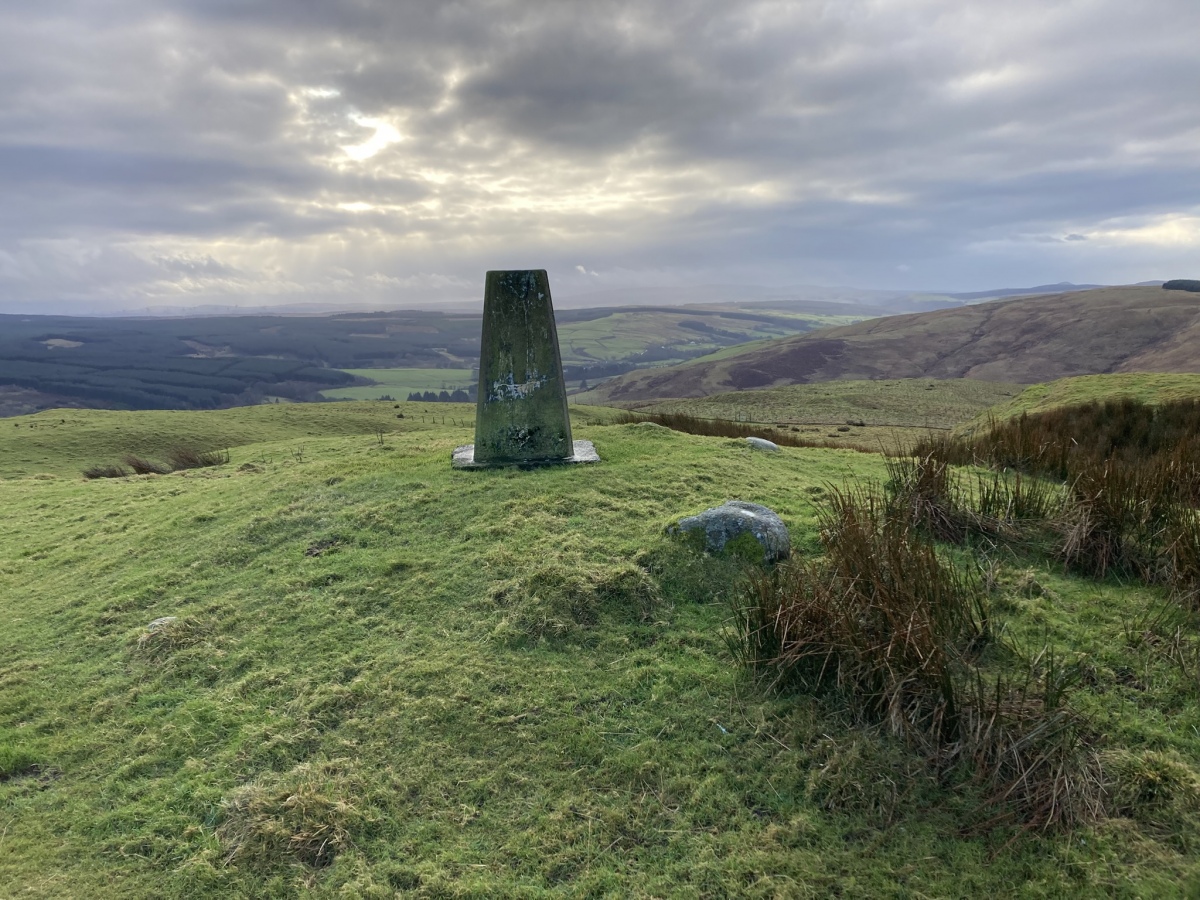
Auchensoul Hill submitted by markj99 on 7th Jan 2025. Auchensoul Hill Cairn viewed from NNE.
(View photo, vote or add a comment)
Log Text: Auchensoul Hill is located c. 0.8 mile WNW of Barr. You can park in the centre of the village then walk W to cross the Stinchar Bridge. Follow the road N to reach a signed footpath on the left. The vague path heads W uphill through moorland grass. Trees have been recently planted on the E slopes of Auchensoul Hill, surrounded by a deer fence. Continue W along the line of the deer fence until you reach a gate in the deer fence. Go through the gate into rough green pasture. Head NW up a steep slope towards the summit of Auchensoul Hill. It is a rocky knoll surmounted by an OS Trig Point at NX 26391 94548.
The vague path up to Auchensoul Hill is steep through boggy moorland ground,
requiring sturdy boots and GPS navigation ideally.
Tinnis Hill
Date Added: 10th Apr 2023
Site Type: Cairn
Country: Scotland (Scottish Borders)
Visited: Yes on 26th May 2012. My rating: Condition 3 Ambience 4 Access 1

Tinnis Hill submitted by howard_mattinson on 25th Apr 2005. Tinnis Hill. NY431854. Don't know if this a big cairn or a wall round a hill fort, it's interesting though
(View photo, vote or add a comment)
Log Text: I climbed Tinnis Hill after visiting Windy Edge Long Cairn. I failed to recognise the cairn on the summit but did notice the remains of the outer enclosure at the base of the mound.
Warrior's Rest
Date Added: 6th Jul 2023
Site Type: Standing Stone (Menhir)
Country: Scotland (Scottish Borders)
Visited: Yes on 25th Nov 2012. My rating: Condition 3 Ambience 4 Access 5
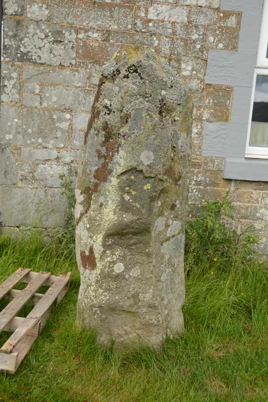
Warrior's Rest submitted by Anne T on 29th Jun 2015. A close up of the Warrior's Rest east face, but no cup marks that I can see. I wonder if the report of these cups got muddled with the Glebe Stone, just down the road, as I could see two cups on its eastern face.
(View photo, vote or add a comment)
Log Text: Warrior's Rest Standing Stone is a yard away from the gable end of Warrior's Rest Cottage. The cottage was unoccupied when I visited so there was no-one to ask permission.
