<< Our Photo Pages >> Grime's Graves Flint Mines - Ancient Mine, Quarry or other Industry in England in Norfolk
Submitted by Andy B on Friday, 14 June 2024 Page Views: 41068
Neolithic and Bronze AgeSite Name: Grime's Graves Flint Mines Alternative Name: Grimes GravesCountry: England
NOTE: This site is 1.292 km away from the location you searched for.
County: Norfolk Type: Ancient Mine, Quarry or other Industry
Nearest Town: Thetford Nearest Village: Brandon
Map Ref: TL81678989 Landranger Map Number: 144
Latitude: 52.476697N Longitude: 0.673548E
Condition:
| 5 | Perfect |
| 4 | Almost Perfect |
| 3 | Reasonable but with some damage |
| 2 | Ruined but still recognisable as an ancient site |
| 1 | Pretty much destroyed, possibly visible as crop marks |
| 0 | No data. |
| -1 | Completely destroyed |
| 5 | Superb |
| 4 | Good |
| 3 | Ordinary |
| 2 | Not Good |
| 1 | Awful |
| 0 | No data. |
| 5 | Can be driven to, probably with disabled access |
| 4 | Short walk on a footpath |
| 3 | Requiring a bit more of a walk |
| 2 | A long walk |
| 1 | In the middle of nowhere, a nightmare to find |
| 0 | No data. |
| 5 | co-ordinates taken by GPS or official recorded co-ordinates |
| 4 | co-ordinates scaled from a detailed map |
| 3 | co-ordinates scaled from a bad map |
| 2 | co-ordinates of the nearest village |
| 1 | co-ordinates of the nearest town |
| 0 | no data |
Internal Links:
External Links:
I have visited· I would like to visit
SteveC Catrinm HPickthall would like to visit
rvbaker2003 visited on 10th May 2025 - their rating: Cond: 4 Amb: 4 Access: 5 Fantastic! Would highly recommend
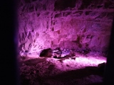
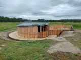
TheCaptain visited on 8th Jun 2024 - their rating: Cond: 4 Amb: 4 Access: 4 At last got here on my way up to North Norfolk. Not quite sure what I was expecting, but I can't say I was completely impressed to start with, and I couldn't help thinking of West Wycombe caves. Strange, as for something that old, I'd have thought I would be really impressed. This feeling gradually changed into one of awe at what I was seeing. Nice to be able to get down one of the shafts to see the workings as a brand new entrance building enables visits down into one of the mineshafts. Once down in the shaft, a very interesting and impressive audio visual showing the history of this place is projected onto the shaft walls, from the ancient seas depositing to form the chalk and flint, up to the prehistoric mining of the flint. All very well done I thought. Down the bottom of the shaft there are various galleries which can be crawled into. Some of the tools used for excavation and flint nodules are left to be seen. I would not recommend doing this with bare knees or on a very wet day! Some of the items found by Armstrong during the 1939 excavations are on display in the museum. But the big question is this. Are they real or fake?
mesolithica visited on 24th May 2024 - their rating: Cond: 4 Amb: 5 Access: 3
Couplands visited on 13th May 2023 - their rating: Cond: 5 Amb: 5 Access: 3
pawel visited on 3rd Sep 2019 - their rating: Cond: 4 Amb: 5 Access: 5
ermine visited on 6th Apr 2017 - their rating: Cond: 3 Amb: 4 Access: 4 It's worth bearing in mind that to see much underground you will need to enter the shaft on hands and knees, so dress accordingly. The temperature is about 10C.
The flint was mined from the chalk using red deer antlers that had been naturally shed - the antler material is hardest when just shed.
There are two other pits which have been entered by the public on the site - one which is now closed was the one open to the public in the 1960s and 70s, and the current public access pit, Pit One.
(part 4 of 4)
ermine visited on 6th Apr 2017 - their rating: Cond: 3 Amb: 4 Access: 4 English Heritage have opened up a new pit to occasional public access. Greenwell Pit is one of the 433 on the Grimes Graves neolithic flint mine site at Grimes Graves. I was on the first public descent into this pit – it had of course been opened and entered before by archaeologists, but the 6th April was the first time it had been opened to the public.
(part 1 of 4)
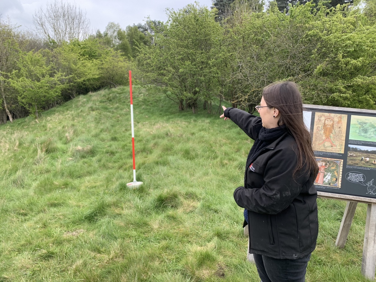
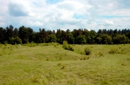
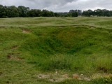
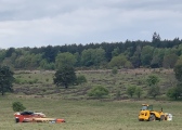
ermine visited on 6th Apr 2017 - their rating: Cond: 3 Amb: 4 Access: 4 There’s not much to see above ground at Grimes Graves, this is a mine, after all, so all the action happened underground. The surface is pockmarked by depressions where the backfill has settled, and sheep are used to keep the ground clear.
(part 2 of 4)
ermine visited on 6th Apr 2017 - their rating: Cond: 3 Amb: 4 Access: 4 Unlike the public access pit this one will generally be via restricted ticketing, the event I was at was a members event. The English Heritage description of the event
thanks to a new winch and harness system we can now access Greenwell’s Pit and see a mining shaft in its original archaeological state. Join our Neolithic expert Will Lord and discover the history and archaeology of the site before he leads the descent in to the newly opened pit. This event has been graded as challenging access as the descent in to the pit is by winch and harness only and will require an extended period underground.made it sound like we were going to abseil into the pit, but although visitors are kitted up with a harness and attached to a winch with a breakaway cable, this is only a safety requirement in case someone slips or has a heart attack underground, entry is quite conventional, down a steel ladder. (part 3 of 4)
Jansold visited on 14th Apr 2014 - their rating: Cond: 2 Amb: 4 Access: 5
kith visited on 1st Dec 2010 - their rating: Cond: 4 Amb: 5 Access: 4 A great experience. One shaft is open to the public at certain times. Check online for details. Don the provided hard hat and decend the shaft to view side shafts and artefacts. The surrounding area, with other shafts, either marked or filled, can we rambled on at leasure throughout the year.
melbro2 visited on 1st Jan 1960 - their rating: Cond: 4 This is a site that was my first outing with school - I was 8 or 9. I had nightmares for years following the trip. We were young things left to wander and crawl and I got stuck on an adventure to nowhere: Francis Pryor 2!! I'd made dens with straw bales with mates so this was no different - was it? It was reached by ladders, unsupervised. Total freedom. They took 25 children and brought 25 back, the end. Maybe dirty, but no scars? Outside anyway. Now I look and see industrial structures on concrete floors that mar the whole experience of what it was like to squeeze through narrow gullies looking for flint. But, probably better for a child's mental state to not understand than to be frightened by the experience. Now I'm 71, I have amazing recall of a great time at Grimes Graves. No need to go back, the safety over real experience kills it for me. The outer moonscape is to be seen to be believed though.
Andy B: would like to visit Flint mines seen in Episode Four of BBC's History of Ancient Britain
coin visited - their rating: Cond: 4 Amb: 4 Access: 5
NickyD visited - their rating: Cond: 4 Amb: 4 Access: 4
neolithique02 SandyG mrcrow myf AnnabelleStar have visited here
Average ratings for this site from all visit loggers: Condition: 3.64 Ambience: 4.31 Access: 4.15
The pits are so close to each other that they could not all have been in use at the same time. As a new shaft was dug, the excavated chalk would have been tipped into exhausted neighbouring ones. Why did prehistoric people go to such lengths to acquire flint when so much can be picked up on the surface or in river gravel?
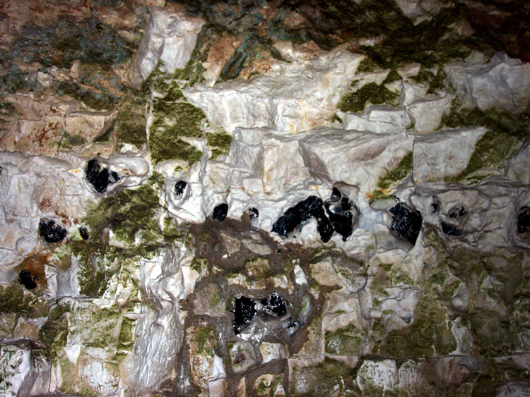
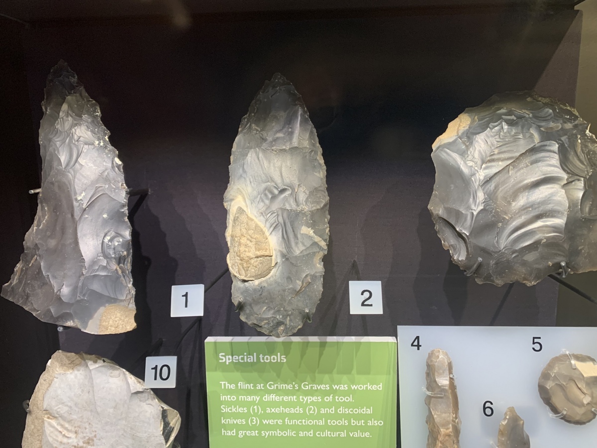
The answer probably lies in the quality of the underground flint - although there may also have been a ritual or performative aspect attached the difficulty of accessing. There are three bands - topstone, wallstone and floorstone. Floorstone is the finest and was reached by digging narrow, low, horizontal tunnels that radiate out from the bottom of the shafts. This flint is black, shiny and flawless looking much like the volcanic glass of obsidian. It is quite different in texture to the grey frost shattered flint found on the surface. So desirable was this flint that a massive industrial site developed here with trade routes spreading out in all directions. It really does make us think about the nature of society in the Late Neolithic and Early Bronze Age. Surely this was no simple society of farmers and herders, but a complex mining community with extensive trade routes and an economy capable of rewarding, feeding and housing the workforce and traders. Just how far did the "black gold" travel?
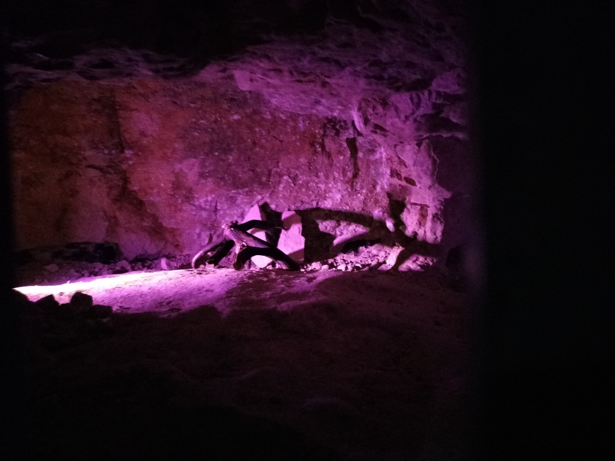
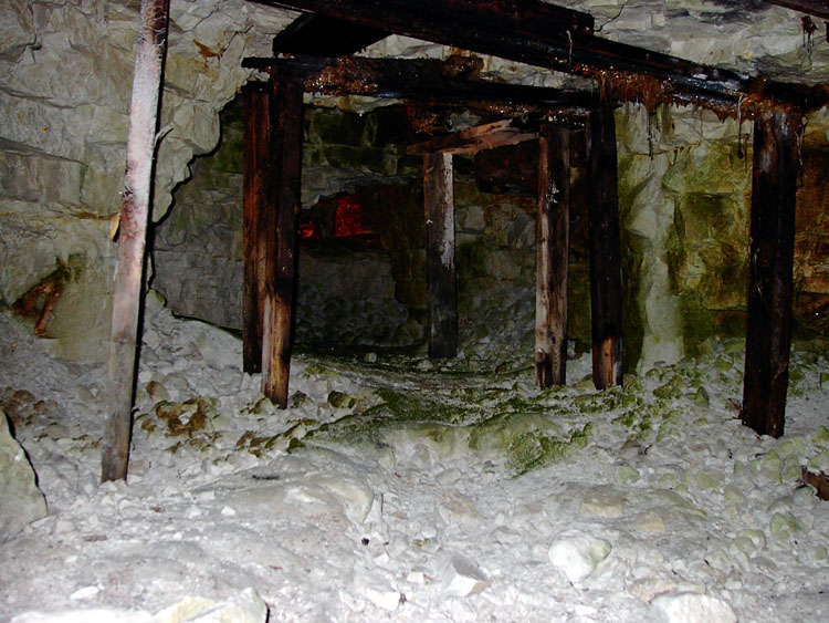
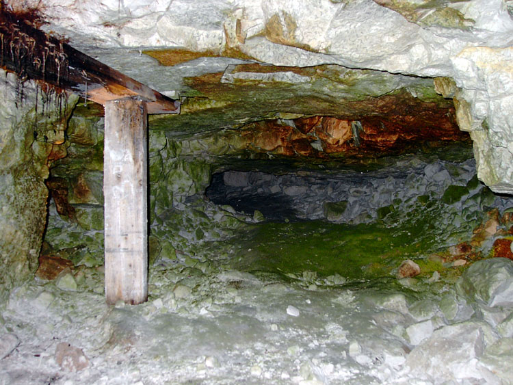
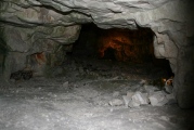
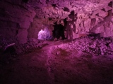
Early people must have used pole ladders to descend into the pits, but today the visitor can descend 30 feet into one shaft by means of some newly added steps, a great improvement on the caged metal ladder. The entrance is quite narrow, but the shaft opens out into a bell shape as you descend into the darkness. Seams of wallstone can be seen gleaming in the roughly hewn chalk sides of the pit. At the bottom, the radiating galleries are lit by electric lamps, which unfortunately encourage the growth of algae. These tunnels are only three or four feet high to begin with and rapidly decrease to a really tight squeeze. Francis Pryor tells in "Britain BC" how he got horribly stuck in one when he visited as a schoolboy. Today, Health and Safety Regulations mean that you cannot go into these galleries, but you can look into them quite clearly. Managed by English Heritage, Grimes's Grave's is a fantastic place and well worth a visit, especially with the new access steps and projection system.
Text by Thorgrim
Richard M (Ermine) was on the first public descent into Greenwell Pit flint mine on the 6th of April 2017, here is his visit log
Andy B visited Grime's Graves in April 2024 on their preview day: I have added lots of photos to our page and videos will follow. We were told of an exciting discovery whilst excavating for the new pit access building - here's an exclusive first look. This amazing (and presumably Neolithic) chalk plaque with chevrons was uncovered!
Note: Join us at the Grime's Graves Festival this Saturday 15th & Sunday 16th June. You can download the events programme here, and my puddingstone guided walk/talk is at 1pm each day - hope to see you there if you are in the area - I recommend getting there early.
You may be viewing yesterday's version of this page. To see the most up to date information please register for a free account.








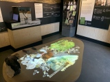
These are just the first 25 photos of Grime's Graves Flint Mines. If you log in with a free user account you will be able to see our entire collection.
Do not use the above information on other web sites or publications without permission of the contributor.
Click here to see more info for this site
Nearby sites
Key: Red: member's photo, Blue: 3rd party photo, Yellow: other image, Green: no photo - please go there and take one, Grey: site destroyed
Download sites to:
KML (Google Earth)
GPX (GPS waypoints)
CSV (Garmin/Navman)
CSV (Excel)
To unlock full downloads you need to sign up as a Contributory Member. Otherwise downloads are limited to 50 sites.
Turn off the page maps and other distractions
Nearby sites listing. In the following links * = Image available
305m S 172° Grimes Puddingstone* Marker Stone (TL8172389589)
1.3km WNW 282° Grimes Graves Barrows* Round Barrow(s) (TL804901)
3.3km SE 135° Blood Hill* Round Barrow(s) (TL84078765)
3.4km WSW 242° Pepper Hill* Round Barrow(s) (TL787882)
4.4km WNW 293° Mount Ephraim Barrows* Barrow Cemetery (TL7750191453)
4.6km WNW 291° Weeting Stump Cross* Ancient Cross (TL77359137)
4.6km SW 225° Brandon Heritage Museum Museum (TL785865)
5.0km N 10° Lynford Middle Paleolithic Site* Not Known (by us) (TL82409484)
5.7km ESE 103° Mickle Hill Tumulus* Round Barrow(s) (TL873888)
6.7km SW 225° White Hill, Suffolk* Round Barrow(s) (TL77168497)
8.5km SE 145° Thetford Puddingstones* Marker Stone (TL8684583181)
8.7km SSE 150° Thetford Barrow Round Barrow(s) (TL86358256)
9.2km SE 143° Thetford Castle* Hillfort (TL875828)
9.7km ESE 102° East Wretham Heath Earthwork* Misc. Earthwork (TL91278814)
9.8km NNE 29° Little Cressingham Barrow Cemetery* Barrow Cemetery (TL861986)
10.7km ENE 63° Thompson bowl barrow* Round Barrow(s) (TL91109508)
11.4km SSE 157° Barnham Puddingstone Marker Stone (TL865796)
12.0km SSE 157° Mill House Barrow Round Barrow(s) (TL867790)
12.0km SSE 157° Millfield Barn Round Barrow(s) (TL86717898)
12.0km ESE 105° Peddars Way* Ancient Trackway (TL9341287119)
12.1km NE 42° Merton Stone* Natural Stone / Erratic / Other Natural Feature (TL895991)
12.2km SE 136° Seven Hills Barrow Cemetery Barrow Cemetery (TL904814)
12.4km SSE 148° Barnham Heath Pit Natural Stone / Erratic / Other Natural Feature (TL887797)
14.4km N 354° St Mary’s Chapel, Cockley Cley* Ancient Temple (TF79550411)
14.5km N 356° Cockley Cley Iceni Village* Museum (TF802043)
View more nearby sites and additional images


 We would like to know more about this location. Please feel free to add a brief description and any relevant information in your own language.
 Wir möchten mehr über diese Stätte erfahren. Bitte zögern Sie nicht, eine kurze Beschreibung und relevante Informationen in Deutsch hinzuzufügen.
 Nous aimerions en savoir encore un peu sur les lieux. S'il vous plaît n'hesitez pas à ajouter une courte description et tous les renseignements pertinents dans votre propre langue.
 Quisieramos informarnos un poco más de las lugares. No dude en añadir una breve descripción y otros datos relevantes en su propio idioma.