<< Our Photo Pages >> The Sanctuary. - Stone Circle in England in Wiltshire
Submitted by vicky on Monday, 07 October 2024 Page Views: 26076
Neolithic and Bronze AgeSite Name: The Sanctuary.Country: England County: Wiltshire Type: Stone Circle
Map Ref: SU11836802 Landranger Map Number: 173
Latitude: 51.411080N Longitude: 1.831295W
Condition:
| 5 | Perfect |
| 4 | Almost Perfect |
| 3 | Reasonable but with some damage |
| 2 | Ruined but still recognisable as an ancient site |
| 1 | Pretty much destroyed, possibly visible as crop marks |
| 0 | No data. |
| -1 | Completely destroyed |
| 5 | Superb |
| 4 | Good |
| 3 | Ordinary |
| 2 | Not Good |
| 1 | Awful |
| 0 | No data. |
| 5 | Can be driven to, probably with disabled access |
| 4 | Short walk on a footpath |
| 3 | Requiring a bit more of a walk |
| 2 | A long walk |
| 1 | In the middle of nowhere, a nightmare to find |
| 0 | No data. |
| 5 | co-ordinates taken by GPS or official recorded co-ordinates |
| 4 | co-ordinates scaled from a detailed map |
| 3 | co-ordinates scaled from a bad map |
| 2 | co-ordinates of the nearest village |
| 1 | co-ordinates of the nearest town |
| 0 | no data |
Internal Links:
External Links:
I have visited· I would like to visit
rvbaker2003 visited on 10th Nov 2024 - their rating: Cond: 2 Amb: 3 Access: 5
NDM visited on 1st Mar 2023 - their rating: Cond: 2 Amb: 4 Access: 4
Phillwhite visited on 16th Sep 2021 - their rating: Cond: -1 Access: 5
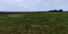
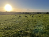
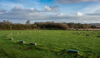
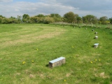
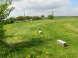
TheCaptain visited on 25th Sep 2020 - their rating: Cond: 2 Amb: 2 Access: 5 Over the A4 to the Sanctuary, perhaps I can sit and have lunch here, but the circle of concrete breezeblocks has a couple of alternative types sat in the centre and dinging little bells. Couple of photos and move on.
SandyG visited on 7th Aug 2016 - their rating: Cond: 1 Amb: 3 Access: 5
Chrononaut1962 visited on 24th Jul 2016 - their rating: Cond: 1 Amb: 3 Access: 5
trystan_hughes visited on 22nd Dec 2015 - their rating: Cond: 1 Amb: 4 Access: 5
KimIannucci visited on 1st Aug 2015 - their rating: Cond: 2 Amb: 3 Access: 5
Chrus visited on 1st Jan 2014 - their rating: Cond: 2 Amb: 4 Access: 4
rideflame visited on 13th Apr 2013 - their rating: Cond: 2 Amb: 4 Access: 5
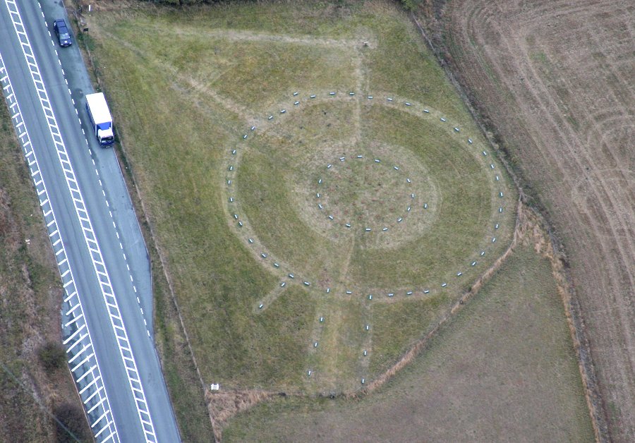
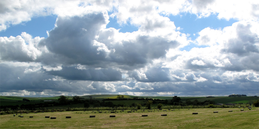
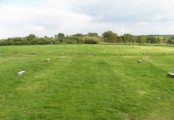
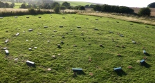
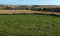
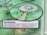
ModernExplorers visited on 21st Dec 2012 - their rating: Cond: 1 Amb: 2 Access: 5 Right next to the road so no ambience and there are no stones, only markers where ther found holes that they think were used the position of huge stones
jeffrep visited on 26th May 2011 - their rating: Cond: -1 Amb: 3 Access: 5
johnstone visited on 30th Jun 2010 - their rating: Amb: 2 Access: 5
Richard13 visited on 1st Jul 2009 - their rating: Cond: 2 Amb: 2 Access: 5
Ogham visited on 18th Jan 2009 - their rating: Cond: -1 Amb: 2 Access: 5
Woode visited on 21st Dec 2007 - their rating: Cond: 1 Amb: 3 Access: 5
wildtalents visited on 5th Aug 2001 - their rating: Cond: 2 Amb: 4 Access: 5 I feel a little fraudulent rating The Sanctuary 4 for Ambience: it's essentially a complex of stone markers with no real vestige of what may have stood at this site. (Excarnation complex, for example?) But for all it's forlorn air, and the constant roar-hiss of the cars speeding close by, when seen and respected as part of the whole sacred Avebury landscape it still has a distinct atmosphere all it's own.
If you know where to look you can see elements of the rest of the landscape, Avenue stones for example.
Stukeley's sketch of the site - which was already being ruined at that very time (I seem to remember he names the guilty farmer) - captures something of what was once here. But not necessarily what was always here. I think it has probably been through many iterations and sad though the current one is I would still recommend a visit to any serious megalithomane. It's a way of making a connection to the distant generations who revered this place.
TheCaptain visited on 4th Oct 1998 Visit lots of ancient sites on a long off road cycle tour from Avebury to Windmill Hill, along the Wansdyke and back up Kennet Avenue
BolshieBoris visited on 1st Jun 1987 - their rating: Cond: 1 Amb: 2 Access: 4
Twistytwirly visited - their rating: Cond: 1 Amb: 3 Access: 5
coin visited - their rating: Cond: 1 Amb: 2 Access: 5
bishop_pam visited - their rating: Cond: 2 Amb: 4 Access: 5
DrewParsons AngieLake TimPrevett hamish JimChampion mdensham NickyD AnnabelleStar FrothNinja have visited here
Average ratings for this site from all visit loggers: Condition: 1.15 Ambience: 2.95 Access: 4.86
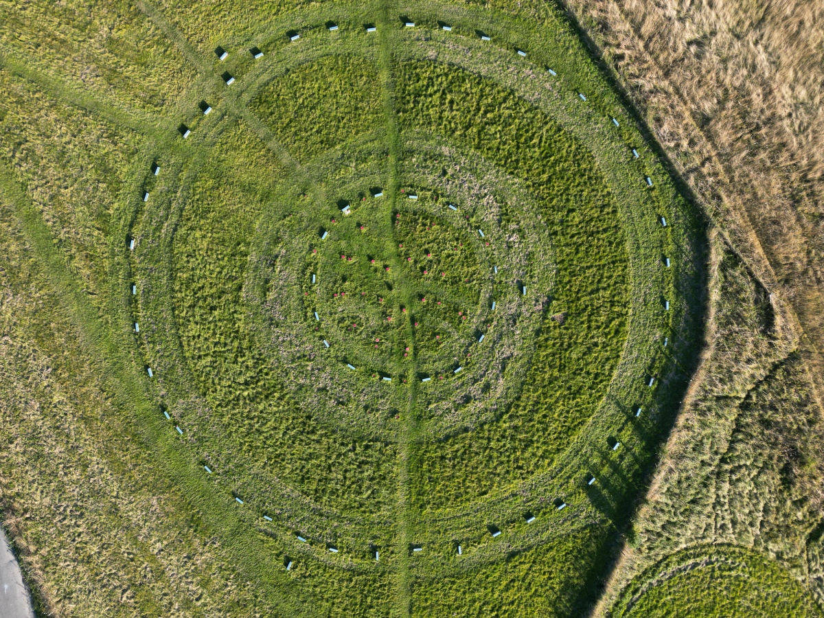
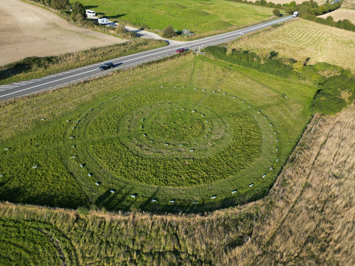
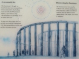
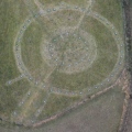
Much speculation has surrounded the site and detailed arguments can be found in both Burl’s ‘Prehistoric Avebury’ and Mike Pitts ‘Hengeworld’ but it seems that the double-ringed stone circle formed the final phase.
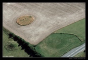
A fantastic barrow cemetery known as Overton Hill straddles the A4 right next to the Sanctuary and a further stone circle (now destroyed) was reported in the field behind it – the site uof this circle can still be seen when the field has been ploughed.
You may be viewing yesterday's version of this page. To see the most up to date information please register for a free account.




These are just the first 25 photos of The Sanctuary.. If you log in with a free user account you will be able to see our entire collection.
Do not use the above information on other web sites or publications without permission of the contributor.
Click here to see more info for this site
Nearby sites
Key: Red: member's photo, Blue: 3rd party photo, Yellow: other image, Green: no photo - please go there and take one, Grey: site destroyed
Download sites to:
KML (Google Earth)
GPX (GPS waypoints)
CSV (Garmin/Navman)
CSV (Excel)
To unlock full downloads you need to sign up as a Contributory Member. Otherwise downloads are limited to 50 sites.
Turn off the page maps and other distractions
Nearby sites listing. In the following links * = Image available
191m NE 43° The Sanctuary Barrows* Barrow Cemetery (SU11966816)
684m NNW 333° Overton Hill barrow cemetery* Barrow Cemetery (SU11526863)
847m WNW 282° West Kennet Palisaded Enclosures* Ancient Village or Settlement (SU110682)
851m SSE 165° East Kennett garden feature* Modern Stone Circle etc (SU12066720)
1.2km S 190° East Kennett longbarrow* Long Barrow (SU11636684)
1.2km WNW 286° Silbaby* Misc. Earthwork (SU1062668354)
1.4km WSW 258° West Kennett Long Barrow* Long Barrow (SU10506774)
1.5km NNW 327° Falkner's Circle* Stone Circle (SU10986931)
1.6km W 265° West Kennet Barrow* Round Barrow(s) (SU10246788)
1.7km NW 318° West Kennet Avenue* Multiple Stone Rows / Avenue (SU10696928)
1.7km SSW 198° Harestone Down* Stone Circle (SU113664)
1.7km W 273° Swallowhead Spring* Holy Well or Sacred Spring (SU101681)
1.9km NE 38° Down Barn* Standing Stones (SU12966949)
1.9km WNW 286° Silbury Hill* Artificial Mound (SU10016853)
1.9km NW 319° West Kennet Avenue polisher* Polissoir (SU10576947)
1.9km ESE 103° West Overton Bowl Barrow Round Barrow(s) (SU13736758)
2.1km N 1° Avebury Down barrow cemetery* Barrow Cemetery (SU11877007)
2.1km SSW 200° Harestone Down Tumulus* Round Barrow(s) (SU1111766058)
2.1km WSW 246° Beckhampton Penning circle* Stone Circle (SU09876713)
2.3km S 181° Langdean Bottom* Stone Circle (SU11806574)
2.3km NE 36° Pickledean Stone Circle (SU13196988)
2.3km S 180° Langdean Stone Avenue* Stone Row / Alignment (SU1184165695)
2.4km ENE 76° Piggle Dene* Natural Stone / Erratic / Other Natural Feature (SU14126858)
2.5km NW 321° Avebury* Stone Circle (SU10266996)
2.5km NW 322° Avebury - The Cove* Standing Stones (SU10257002)
View more nearby sites and additional images


 We would like to know more about this location. Please feel free to add a brief description and any relevant information in your own language.
 Wir möchten mehr über diese Stätte erfahren. Bitte zögern Sie nicht, eine kurze Beschreibung und relevante Informationen in Deutsch hinzuzufügen.
 Nous aimerions en savoir encore un peu sur les lieux. S'il vous plaît n'hesitez pas à ajouter une courte description et tous les renseignements pertinents dans votre propre langue.
 Quisieramos informarnos un poco más de las lugares. No dude en añadir una breve descripción y otros datos relevantes en su propio idioma.