<< Our Photo Pages >> Stone near Higher Cornfield Farm - Standing Stone (Menhir) in England in Cheshire
Submitted by Andy B on Friday, 03 January 2003 Page Views: 19046
Neolithic and Bronze AgeSite Name: Stone near Higher Cornfield Farm Alternative Name: Previously incorrectly listed as The Murder Stone, see the comments belowCountry: England County: Cheshire Type: Standing Stone (Menhir)
Nearest Town: Whaley Bridge Nearest Village: Kettleshulme
Map Ref: SJ9845581083 Landranger Map Number: 109
Latitude: 53.326663N Longitude: 2.024658W
Condition:
| 5 | Perfect |
| 4 | Almost Perfect |
| 3 | Reasonable but with some damage |
| 2 | Ruined but still recognisable as an ancient site |
| 1 | Pretty much destroyed, possibly visible as crop marks |
| 0 | No data. |
| -1 | Completely destroyed |
| 5 | Superb |
| 4 | Good |
| 3 | Ordinary |
| 2 | Not Good |
| 1 | Awful |
| 0 | No data. |
| 5 | Can be driven to, probably with disabled access |
| 4 | Short walk on a footpath |
| 3 | Requiring a bit more of a walk |
| 2 | A long walk |
| 1 | In the middle of nowhere, a nightmare to find |
| 0 | No data. |
| 5 | co-ordinates taken by GPS or official recorded co-ordinates |
| 4 | co-ordinates scaled from a detailed map |
| 3 | co-ordinates scaled from a bad map |
| 2 | co-ordinates of the nearest village |
| 1 | co-ordinates of the nearest town |
| 0 | no data |
Internal Links:
External Links:
I have visited· I would like to visit
SumDoood louisearchaeology would like to visit
TimPrevett has visited here

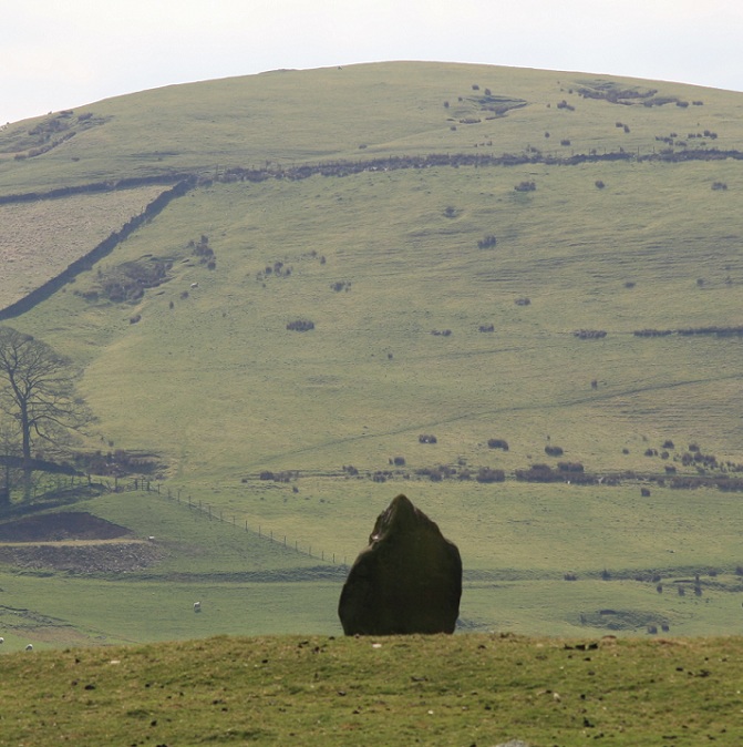
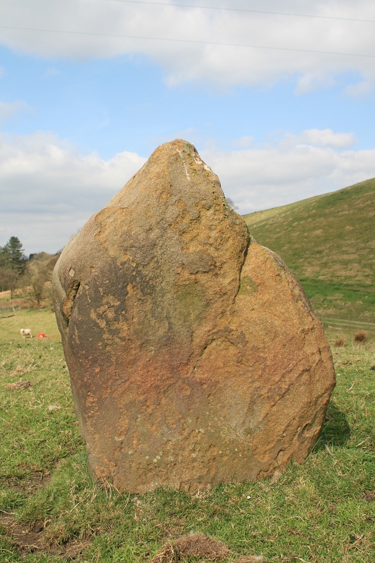
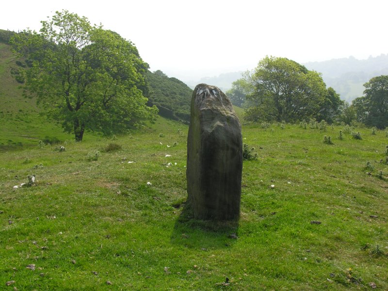
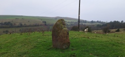
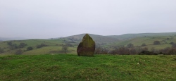
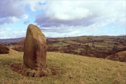
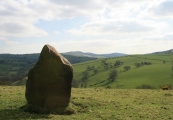
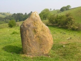
This standing stone can be found 2km due west of the Derbyshire town of Whaley Bridge but is located in the Cheshire part of the Peak National Park. This ‘scheduled’ stone stands 1.3m high, 0.5m thick and is roughly diamond-shaped. The ground around its base is partially eroded (perhaps again by sheltering sheep) but this does not appear to be threatening the stone. Composed of local brown gritstone it is pitted from millennia of exposure to the elements. As to how it got its name, we can only guess but perhaps it has something to do with its fierce-looking, pointed shape.
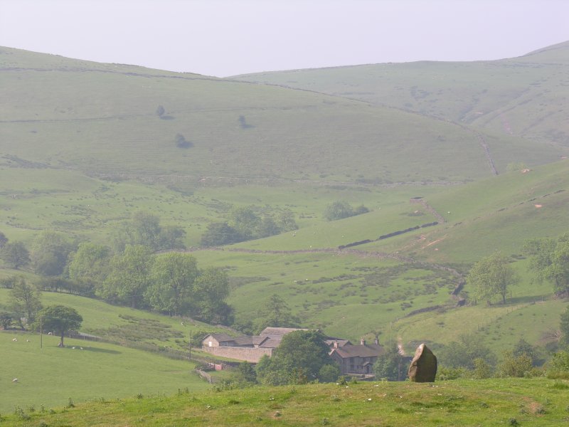
The stone is situated on a hillock which is not the highest point in the immediate area but does have excellent panoramic views across the Goyt Valley and Reed Hill (topped by a round barrow) to the south, and Lyme Park to the north-east. After a relatively quick and easy climb to the summit this is a great place to be. If the wind is blowing then you get the same sense of exposure that prehistoric man must have felt when erecting this imposing monolith.
This stone is unusual in comparison to its other East Cheshire comrades. The broad diamond of sandstone contrasts with the svelte examples at Foxlow Edge and Bosley Minn. The Murder Stone is clearly not on located on a trackway and although it appears to be in a prominent position, it would not have been easily visible from, other locations. For example, from Reed Hill, it would merge into the background. If you try hard you can just see the stone from Higher Lane as you travel north towards Disley. Its isolation has served to protect it from whatever forces have caused so many other more accessible stones to lean so heavily.
Viewing: To find the stone, from Macclesfield take the B5470 &Macclesfield Road towards Whaley Bridge. Just after the hairpin bend (located at NGR SJ972793) take the next left into Higher Lane which skirts the base of Reed Hill. Follow this lane for 0.75km until you climb a steep hill and near the top turn right. Follow this lane down hill and then up again. After 0.5km you will come to the entrance of Coldfield Farm on your left where you should be able to park.
On foot take the track towards the farm buildings but stay to the left of them by Holme Wood. The path quickly opens up and skirts round the base of the hillock to the right. Continue along this path and after a few metres this stone will be visible above you to your left on the summit.
References
Cheshire Archaeological Bulletin 1973
Cheshire County Sites and Monuments Record
Page originally by Vicky.
Note: Please note the stone itself is on private land but can be viewed from the nearby public footpath or from the road above.
You may be viewing yesterday's version of this page. To see the most up to date information please register for a free account.

Do not use the above information on other web sites or publications without permission of the contributor.
Click here to see more info for this site
Nearby sites
Key: Red: member's photo, Blue: 3rd party photo, Yellow: other image, Green: no photo - please go there and take one, Grey: site destroyed
Download sites to:
KML (Google Earth)
GPX (GPS waypoints)
CSV (Garmin/Navman)
CSV (Excel)
To unlock full downloads you need to sign up as a Contributory Member. Otherwise downloads are limited to 50 sites.
Turn off the page maps and other distractions
Nearby sites listing. In the following links * = Image available
1.1km WNW 282° Bowstones* Ancient Cross (SJ9739181309)
1.3km ENE 60° The Dipping Stone* Ancient Cross (SJ99558171)
1.4km SSW 209° Reed Hill* Round Barrow(s) (SJ978799)
1.4km ENE 73° Hawkhurst Head* Standing Stone (Menhir) (SJ99838149)
1.6km WSW 242° Sponds Hill N* Round Barrow(s) (SJ970803)
1.7km WSW 239° Sponds Hill S Round Barrow(s) (SJ970802)
1.8km ENE 59° Ringstone (Whaley Bridge) Stone Circle (SK000820)
2.0km WNW 285° Knights Low W Round Barrow(s) (SJ965816)
2.0km WNW 288° Knightslow Wood E Round Barrow(s) (SJ965817)
2.0km WNW 288° Knightslow Wood W* Round Barrow(s) (SJ965817)
2.1km WNW 284° Knights Low E* Round Barrow(s) (SJ964816)
2.1km WNW 287° Knightslow Wood* Round Barrow(s) (SJ964817)
2.3km SSW 212° Further Harrop* Round Barrow(s) (SJ972791)
2.4km WNW 288° Knights Low NW Round Barrow(s) (SJ962818)
2.4km WNW 302° Lyme Park* Ancient Cross (SJ96458235)
2.4km SSW 198° Charles Head* Round Barrow(s) (SJ977788)
3.0km SSE 159° Windgather Rocks Cup-Mark Stone Rock Art (SJ995783)
3.1km SW 235° Andrew's Knob Round Barrow(s) (SJ959793)
3.5km ESE 115° The Shall Cross* Ancient Cross (SK0165579615)
3.5km NNW 342° St Mary (Disley)* Ancient Cross (SJ97388444)
4.2km ESE 113° Ladder Hill* Ring Cairn (SK0230579434)
4.6km SW 222° Little Low Round Barrow(s) (SJ954777)
4.6km SSW 202° Highway Man Stone* Standing Stone (Menhir) (SJ9670476849)
4.8km SSW 196° Blue Boar Farm* Round Barrow(s) (SJ971765)
4.9km SW 214° Great Low Hillfort (SJ957770)
View more nearby sites and additional images


 We would like to know more about this location. Please feel free to add a brief description and any relevant information in your own language.
 Wir möchten mehr über diese Stätte erfahren. Bitte zögern Sie nicht, eine kurze Beschreibung und relevante Informationen in Deutsch hinzuzufügen.
 Nous aimerions en savoir encore un peu sur les lieux. S'il vous plaît n'hesitez pas à ajouter une courte description et tous les renseignements pertinents dans votre propre langue.
 Quisieramos informarnos un poco más de las lugares. No dude en añadir una breve descripción y otros datos relevantes en su propio idioma.