<< Our Photo Pages >> Giant's Caves - Chambered Cairn in England in Wiltshire
Submitted by TheCaptain on Thursday, 10 March 2022 Page Views: 16638
Neolithic and Bronze AgeSite Name: Giant's Caves Alternative Name: Luckington ICountry: England County: Wiltshire Type: Chambered Cairn
Nearest Town: Chippenham Nearest Village: Luckington
Map Ref: ST81998297 Landranger Map Number: 173
Latitude: 51.545333N Longitude: 2.261106W
Condition:
| 5 | Perfect |
| 4 | Almost Perfect |
| 3 | Reasonable but with some damage |
| 2 | Ruined but still recognisable as an ancient site |
| 1 | Pretty much destroyed, possibly visible as crop marks |
| 0 | No data. |
| -1 | Completely destroyed |
| 5 | Superb |
| 4 | Good |
| 3 | Ordinary |
| 2 | Not Good |
| 1 | Awful |
| 0 | No data. |
| 5 | Can be driven to, probably with disabled access |
| 4 | Short walk on a footpath |
| 3 | Requiring a bit more of a walk |
| 2 | A long walk |
| 1 | In the middle of nowhere, a nightmare to find |
| 0 | No data. |
| 5 | co-ordinates taken by GPS or official recorded co-ordinates |
| 4 | co-ordinates scaled from a detailed map |
| 3 | co-ordinates scaled from a bad map |
| 2 | co-ordinates of the nearest village |
| 1 | co-ordinates of the nearest town |
| 0 | no data |
Internal Links:
External Links:
I have visited· I would like to visit
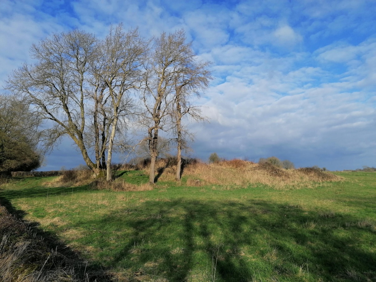
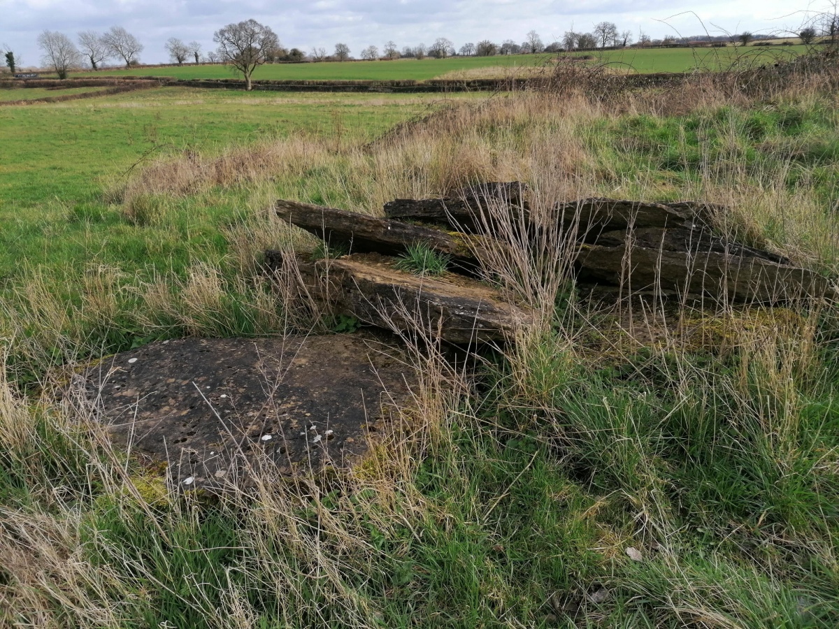
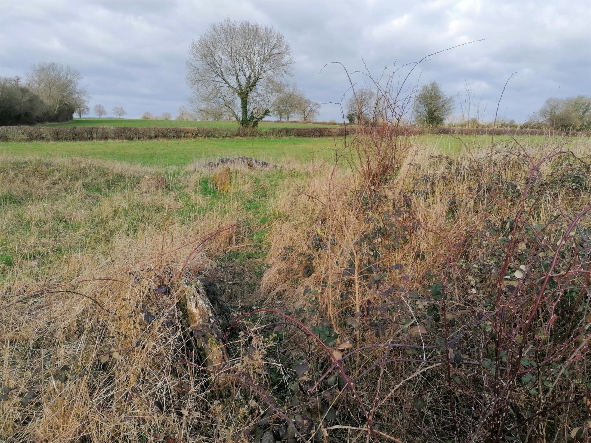
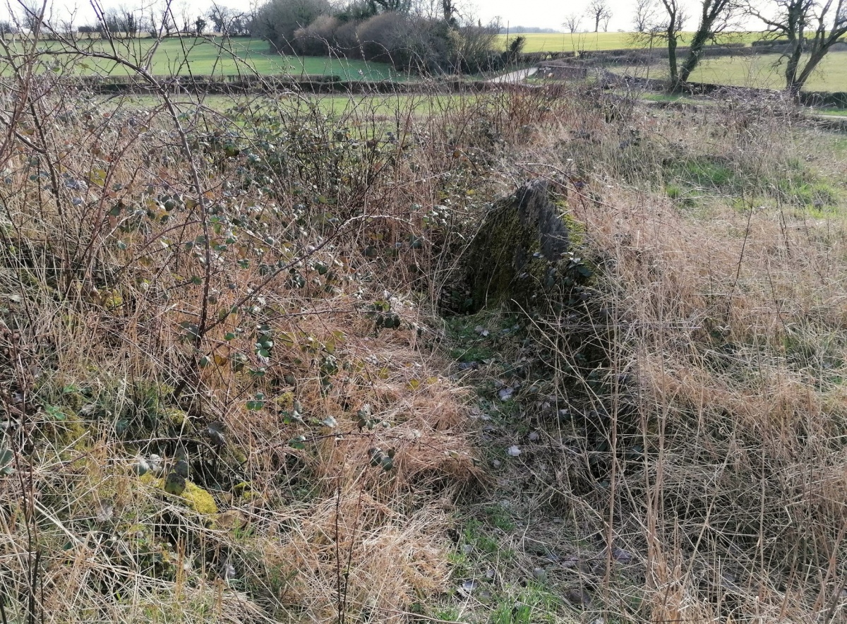
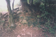
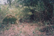
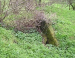
TheCaptain visited on 6th Mar 2022 - their rating: Cond: 3 Amb: 3 Access: 4 A lot of the large trees and overgrowth has gone since I was last here 19 years ago, but its still overrun with brambles etc, and not in a good condition. The remains of three chambers are easily found with large side slabs still in place, but there is also a worrying heap of large slabs piled nearby, no doubt once part of the structures. I didn't do too much delving to see what else I could find.
4clydesdale7 visited on 30th Jun 2011 - their rating: Cond: 3 Amb: 4 Access: 4 The approach from Badminton Village springs a beautiful surprise as you meet the T-junction (with footpath/track going to S) shown on the map even more so in summer on a late sunny evening - lots to investigate with many stones around and on the Cairn - probably a veritable 'treasure chest' on careful examination
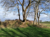
TheCaptain visited on 13th Apr 2004 - their rating: Cond: 3 Amb: 4 Access: 4 This fantastic long barrow, which lies on an east west axis, is in a field just to the north of a little stream on the edge of the Badminton estate. The initial impression is that it is fairly ruinous, and has become overgrown with trees and undergrowth, but closer inspection reveals that there is much left here. Although the ends of the barrow appear to have been removed at sometime in the past, the remaining central part show what a large structure this once was. Within this central part of the barrow can clearly be seen the remains of four chambers, constructed using large rock slabs, which either opened onto a central corridor, or to the sides of the barrow, although they would have been blocked off with stone slabs. These chambers are approximately 4 metres long and 1 to 1½ metres in width, and strangely would not have been located at the bottom ground level of the mound, but at a slightly higher level.
hamish have visited here
Average ratings for this site from all visit loggers: Condition: 3 Ambience: 3.67 Access: 4
The sense of discovery is wonderful at this site. The long barrow is similar to Belas Knap with a false entrance, horns and four chamber cut into the sides. Unlike the overtidied Belas Knap, this barrow looks untouched and the moss and brambles can give it a terrific atmosphere.
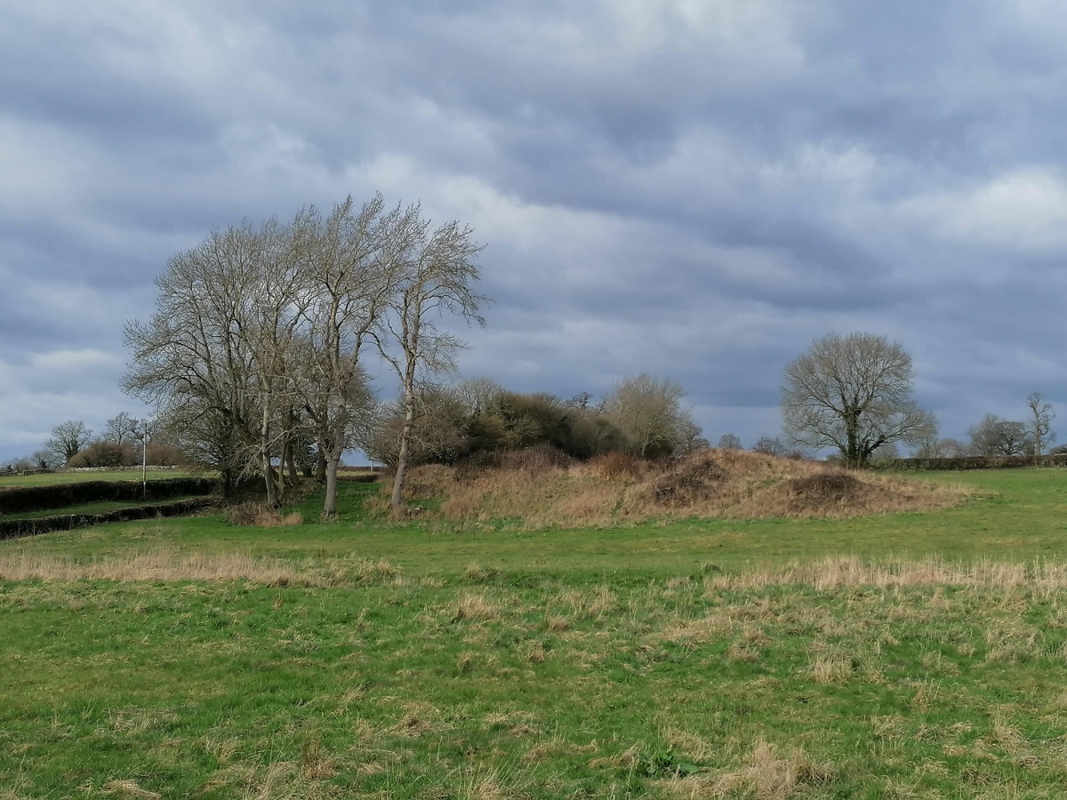
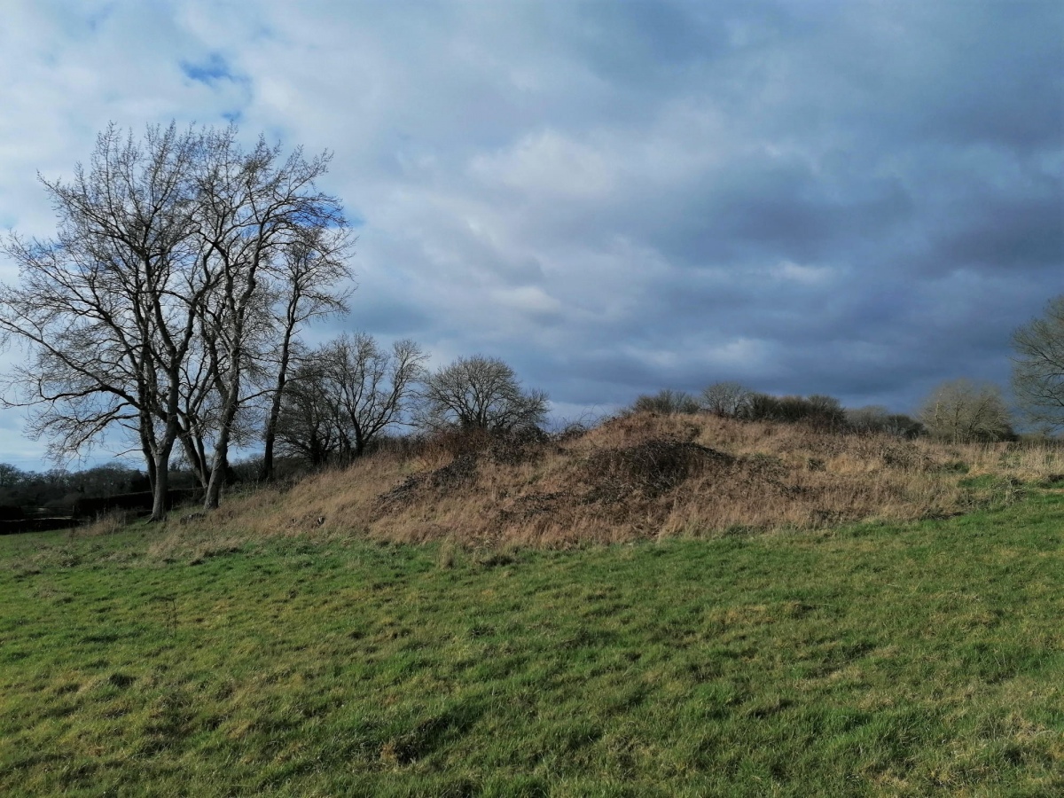
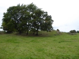
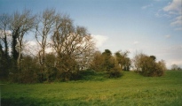
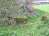
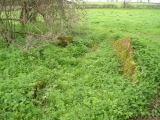
This fantastic long barrow lies on an east west axis, in a field just to the north of a little stream on the edge of the Badminton estate. The initial impression is that it is fairly ruinous, and has become overgrown with trees and undergrowth, but closer inspection reveals that there is much left here.
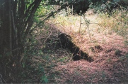
Within this central part of the barrow can clearly be seen the remains of four chambers, constructed using large rock slabs, which opened to the sides of the barrow, although they would have been blocked off with stone slabs. These chambers are approximately 3 to 4 metres long and 1 to 1½ metres in width, no doubt giving rise to the Giants Graves or Caves name.
See historicengland.org entry, with some decent photos
Note: A return visit after 19 years finds this wonderful longbarrow to have been tidied up at some point, although still overgrown with brambles etc.
You may be viewing yesterday's version of this page. To see the most up to date information please register for a free account.
Do not use the above information on other web sites or publications without permission of the contributor.
Click here to see more info for this site
Nearby sites
Key: Red: member's photo, Blue: 3rd party photo, Yellow: other image, Green: no photo - please go there and take one, Grey: site destroyed
Download sites to:
KML (Google Earth)
GPX (GPS waypoints)
CSV (Garmin/Navman)
CSV (Excel)
To unlock full downloads you need to sign up as a Contributory Member. Otherwise downloads are limited to 50 sites.
Turn off the page maps and other distractions
Nearby sites listing. In the following links * = Image available
170m SE 140° Luckington II* Chambered Tomb (ST82108284)
2.7km NE 50° Hancock's Well Holy Well or Sacred Spring (ST8403684687)
3.7km W 274° Grickstone Farm* Chambered Tomb (ST78278327)
4.1km SSE 154° Castle Coombe Cursus (ST838793)
4.3km W 268° The Grickstone* Standing Stone (Menhir) (ST77698281)
4.4km SSE 149° Castle Coombe Cursus (ST842792)
4.5km N 3° Didmarton Cross* Ancient Cross (ST8223887460)
4.5km N 3° St Lawrences Well* Holy Well or Sacred Spring (ST82258749)
4.5km SSE 166° Lugbury* Chambered Tomb (ST83097856)
4.9km NNW 345° Tump Barn Round Barrow* Round Barrow(s) (ST80758770)
5.6km NNW 332° Starveall* Chambered Tomb (ST79408792)
5.7km WNW 284° Horton Camp* Hillfort (ST76438436)
5.7km NNW 336° Upper Kilcott Round Barrow* Round Barrow(s) (ST79638819)
5.9km W 266° Old Sodbury* Hillfort (ST76088258)
6.4km SW 219° Tormarton 1* Long Barrow (ST77957805)
6.4km SW 217° Fox Covert NW* Chambered Tomb (ST78087791)
6.5km NW 307° Hawkesbury Well Holy Well or Sacred Spring (ST7677586931)
6.6km NNW 345° Nan Tow's Tump* Round Barrow(s) (ST80288932)
6.7km NW 309° Hawkesbury Knoll* Long Barrow (ST76838722)
6.7km N 2° Parkwood Farm* Round Barrow(s) (ST822897)
7.9km SW 220° West Littleton Down* Round Barrow(s) (ST769769)
8.3km N 359° Leighterton Long Barrow* Long Barrow (ST81929131)
8.7km W 262° Chipping Sodbury Stone Circle* Modern Stone Circle etc (ST73398176)
8.7km S 171° Colerne Cross Dyke* Misc. Earthwork (ST83267436)
9.0km S 181° Bury Camp (Wiltshire)* Hillfort (ST818740)
View more nearby sites and additional images


 We would like to know more about this location. Please feel free to add a brief description and any relevant information in your own language.
 Wir möchten mehr über diese Stätte erfahren. Bitte zögern Sie nicht, eine kurze Beschreibung und relevante Informationen in Deutsch hinzuzufügen.
 Nous aimerions en savoir encore un peu sur les lieux. S'il vous plaît n'hesitez pas à ajouter une courte description et tous les renseignements pertinents dans votre propre langue.
 Quisieramos informarnos un poco más de las lugares. No dude en añadir una breve descripción y otros datos relevantes en su propio idioma.