<< Our Photo Pages >> Broch of Steiro - Broch or Nuraghe in Scotland in Orkney
Submitted by SolarMegalith on Monday, 12 July 2021 Page Views: 2799
Iron Age and Later PrehistorySite Name: Broch of SteiroCountry: Scotland County: Orkney Type: Broch or Nuraghe
Nearest Village: Shapinsay (Island0
Map Ref: HY50191635
Latitude: 59.031267N Longitude: 2.869495W
Condition:
| 5 | Perfect |
| 4 | Almost Perfect |
| 3 | Reasonable but with some damage |
| 2 | Ruined but still recognisable as an ancient site |
| 1 | Pretty much destroyed, possibly visible as crop marks |
| 0 | No data. |
| -1 | Completely destroyed |
| 5 | Superb |
| 4 | Good |
| 3 | Ordinary |
| 2 | Not Good |
| 1 | Awful |
| 0 | No data. |
| 5 | Can be driven to, probably with disabled access |
| 4 | Short walk on a footpath |
| 3 | Requiring a bit more of a walk |
| 2 | A long walk |
| 1 | In the middle of nowhere, a nightmare to find |
| 0 | No data. |
| 5 | co-ordinates taken by GPS or official recorded co-ordinates |
| 4 | co-ordinates scaled from a detailed map |
| 3 | co-ordinates scaled from a bad map |
| 2 | co-ordinates of the nearest village |
| 1 | co-ordinates of the nearest town |
| 0 | no data |
Internal Links:
External Links:
I have visited· I would like to visit
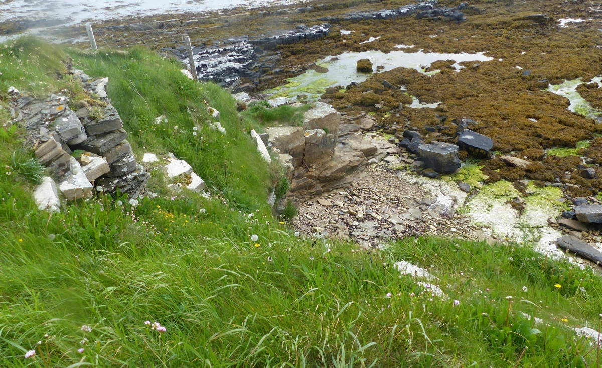
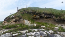
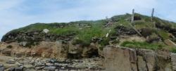
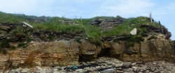
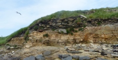
howar visited on 27th May 2017 - their rating: Cond: 2 Amb: 5 Access: 3 As mentioned on another site the best approach is to head down to the shore from the field just before South Church and the Balfour mausoleum, being heedful of a collapsed fence. Unlike some of Orkney's brochs it sits above the shoreline. Start taking pictures from the shore before going up to investigate any further in case you slip or twist an ankle on the exposure.
"Countrywoman" visited this site in the 60s; partial collapse in 1964 brought out a building in the outer wall. In 1967, a wall-chamber was revealed and she noted a structure in the nearby shore under low banks. Strong walls had been exposed a year later. The site suffered serious gale damage in 1984.
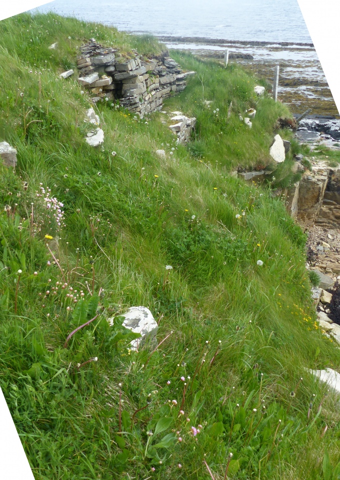
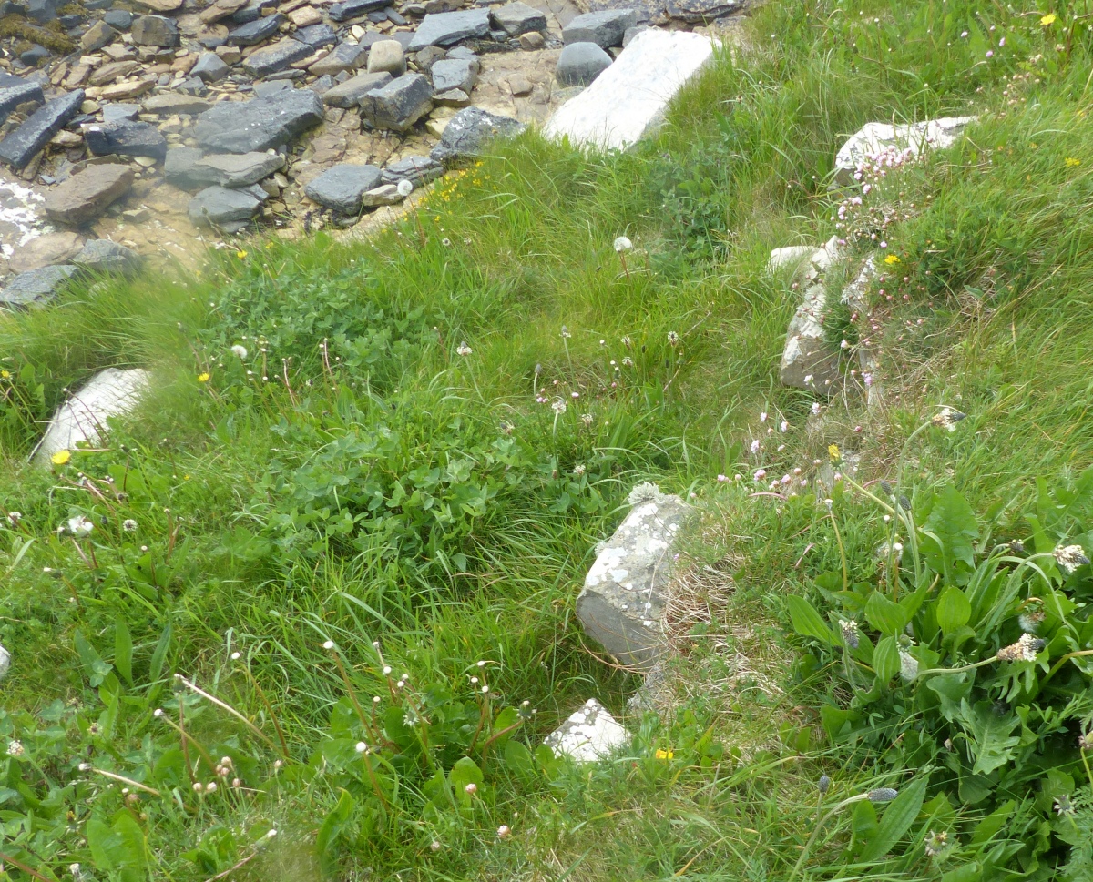
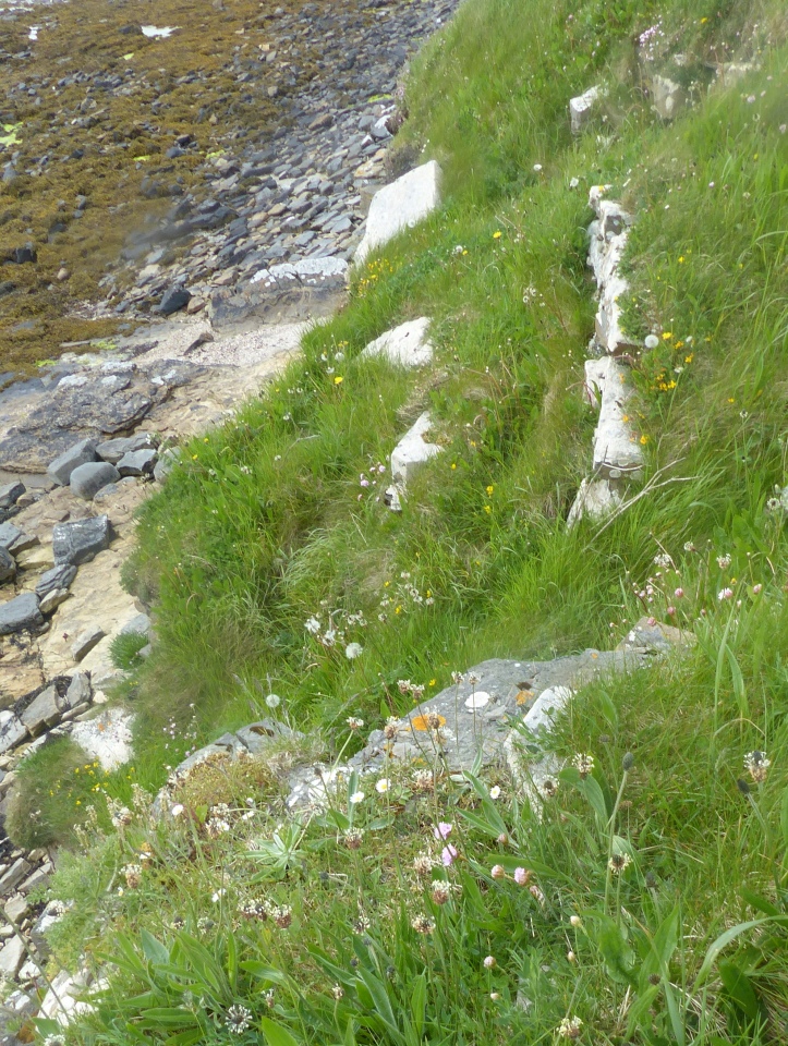
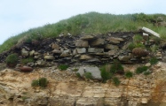
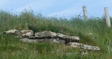
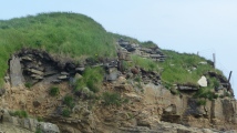
The main feature is part of the broch tower's NE wall arc standing 4' high and having a scarcement with rubble-filled alcove thought to have been access to a stair/gallery. A later wall cuts across the wall arc at the east. RCAHMS site no. HY 51NW 10 additionally mentions a ruinous naust up against the W side and, also at the W, outbuilding traces including an edge-slab in the shoreline. Then E of the broch there is rubble covering a well-paved floor set directly on the natural.
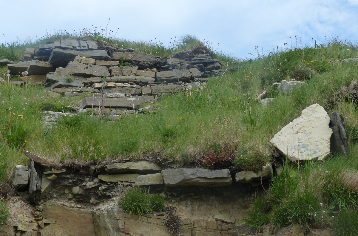
Source: ScotlandsPlaces.
You may be viewing yesterday's version of this page. To see the most up to date information please register for a free account.



Do not use the above information on other web sites or publications without permission of the contributor.
Click here to see more info for this site
Nearby sites
Key: Red: member's photo, Blue: 3rd party photo, Yellow: other image, Green: no photo - please go there and take one, Grey: site destroyed
Download sites to:
KML (Google Earth)
GPX (GPS waypoints)
CSV (Garmin/Navman)
CSV (Excel)
To unlock full downloads you need to sign up as a Contributory Member. Otherwise downloads are limited to 50 sites.
Turn off the page maps and other distractions
Nearby sites listing. In the following links * = Image available
1.0km ESE 109° Howe Hill (Howe Farm)* Ancient Village or Settlement (HY51171599)
1.7km WSW 250° Helliar Holm Broch or Nuraghe (HY48591579)
2.3km ENE 76° Mor Stein* Standing Stone (Menhir) (HY52401685)
2.4km SE 125° Hacksness (Shapinsay) Cairn (HY52181491)
2.8km N 8° Odin Stone* Standing Stone (Menhir) (HY506191)
2.9km W 266° Setter Noost* Ancient Village or Settlement (HY47301621)
3.1km SW 215° Head of Work* Chambered Cairn (HY48341382)
3.4km E 88° Castle Bloody* Souterrain (Fogou, Earth House) (HY53581644)
3.4km W 268° Twi Ness* Cairn (HY46761625)
4.1km NNE 32° Unyatuak* Artificial Mound (HY52451983)
6.0km NE 39° Burroughston Broch* Broch or Nuraghe (HY540210)
6.1km S 173° Yinstay* Ancient Village or Settlement (HY50841031)
6.9km SSW 202° Berstane Broch* Broch or Nuraghe (HY475100)
6.9km NNE 28° Ness of Ork Broch or Nuraghe (HY53562238)
7.3km SSE 163° Loch of Tankerness* Ancient Village or Settlement (HY522093)
7.4km SW 224° Kirkwall Sculptured Stone (HY450111)
7.4km S 170° The Howie of The Manse* Broch or Nuraghe (HY514090)
7.5km WSW 243° Lower Saverock* Not Known (by us) (HY43511300)
7.5km SE 144° Castle of Hangie Bay* Stone Fort or Dun (HY54461022)
7.6km SW 231° Grain Earth House* Souterrain (Fogou, Earth House) (HY442117)
7.6km WSW 241° Saverock (2)* Ancient Village or Settlement (HY43481280)
7.6km SW 223° Kirkwall Sculptured Stone (HY44941087)
7.6km SE 145° The Brough* Ancient Village or Settlement (HY545101)
7.6km SSW 205° Tower Hill (Orkney)* Round Barrow(s) (HY469095)
7.6km SSE 164° Grieves Cottage* Standing Stone (Menhir) (HY522090)
View more nearby sites and additional images


 We would like to know more about this location. Please feel free to add a brief description and any relevant information in your own language.
 Wir möchten mehr über diese Stätte erfahren. Bitte zögern Sie nicht, eine kurze Beschreibung und relevante Informationen in Deutsch hinzuzufügen.
 Nous aimerions en savoir encore un peu sur les lieux. S'il vous plaît n'hesitez pas à ajouter une courte description et tous les renseignements pertinents dans votre propre langue.
 Quisieramos informarnos un poco más de las lugares. No dude en añadir una breve descripción y otros datos relevantes en su propio idioma.