<< Our Photo Pages >> Gurness - Broch or Nuraghe in Scotland in Orkney
Submitted by C_Michael_Hogan on Thursday, 14 January 2021 Page Views: 26388
Iron Age and Later PrehistorySite Name: Gurness Alternative Name: Broch of GurnessCountry: Scotland County: Orkney Type: Broch or Nuraghe
Map Ref: HY3818926842 Landranger Map Number: 6
Latitude: 59.123900N Longitude: 3.08149W
Condition:
| 5 | Perfect |
| 4 | Almost Perfect |
| 3 | Reasonable but with some damage |
| 2 | Ruined but still recognisable as an ancient site |
| 1 | Pretty much destroyed, possibly visible as crop marks |
| 0 | No data. |
| -1 | Completely destroyed |
| 5 | Superb |
| 4 | Good |
| 3 | Ordinary |
| 2 | Not Good |
| 1 | Awful |
| 0 | No data. |
| 5 | Can be driven to, probably with disabled access |
| 4 | Short walk on a footpath |
| 3 | Requiring a bit more of a walk |
| 2 | A long walk |
| 1 | In the middle of nowhere, a nightmare to find |
| 0 | No data. |
| 5 | co-ordinates taken by GPS or official recorded co-ordinates |
| 4 | co-ordinates scaled from a detailed map |
| 3 | co-ordinates scaled from a bad map |
| 2 | co-ordinates of the nearest village |
| 1 | co-ordinates of the nearest town |
| 0 | no data |
Internal Links:
External Links:
I have visited· I would like to visit
coin whese001 hoya105 would like to visit
drolaf visited on 12th Jun 2022 - their rating: Cond: 3 Amb: 4 Access: 4
bishop_pam visited on 20th Apr 2018 - their rating: Cond: 5 Amb: 5 Access: 5
SandyG visited on 4th Jun 2015 - their rating: Cond: 4 Amb: 4 Access: 5
Jansold visited on 5th Jun 2013 - their rating: Cond: 3 Amb: 4 Access: 4
markj99 visited on 10th Aug 2012 - their rating: Cond: 2 Amb: 5 Access: 5 In most cases Antiquarians have to mentally reconstruct sites from several stones or grassy mounds. Gurness settlement is at the opposite end of the spectrum. There are multiple layers of occupancy preserved in an extensive network of stone walls representing exterior and interior features.
43559959 visited on 27th Oct 2011 - their rating: Cond: 5 Amb: 4 Access: 5
JCBH visited on 1st Apr 2010 - their rating: Cond: 3 Amb: 4 Access: 4 Broch of Gurness
ladydi45 visited on 4th Jun 1998 - their rating: Cond: 3 Amb: 4 Access: 3
Tonnox visited on 15th Jul 1994 - their rating: Cond: 5 Amb: 5 Access: 4
FrothNinja visited on 1st Nov 1986 - their rating: Cond: 2 Amb: 5 Access: 4
Andy B: would like to visit Neil Oliver visits this classic broch from approx 600BC in BBC's History of Celtic Britain
Runemage visited The "well" is so intriguing http://www.megalithic.co.uk/modules.php?op=modload&name=a312&file=index&do=showpic&pid=47934
PAB DrewParsons jeffrep C_Michael_Hogan Redfun have visited here
Average ratings for this site from all visit loggers: Condition: 3.5 Ambience: 4.4 Access: 4.3
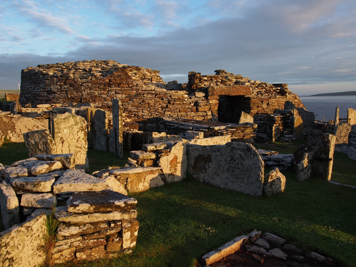
Constructed in the first century AD, the broch and its associated village accommodated a population of about 40. This description is based upon my on site investigation of July, 2007 as well as analysis of extant literature.
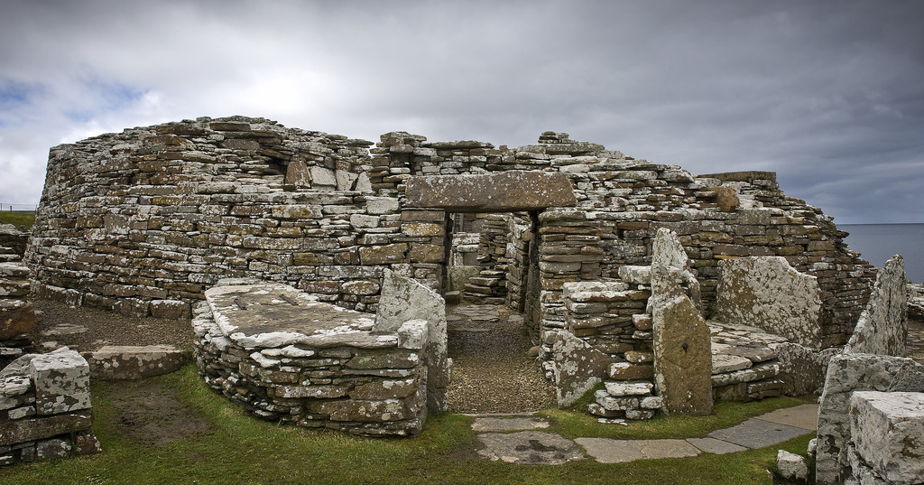
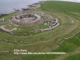
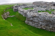
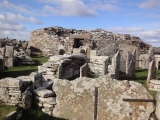
ARCHITECTURE. The main tower retains a ruined height of up to 3.6 metres, with cells in the wall flanking guard chambers on both sides of the main entrance. Walls are up to 4.1 metres thick, and there would have been upper levels in the original broch, which originally was of conical or mildly hyperbolic pitched roof design topped with turf and supported with timber or whalebones. (Konstam, 2006); the use of a flanking guard chamber and the conical to hyperbolic shape is akin to other Orkney brochs such as Burroughston. (Hogan, 2007)
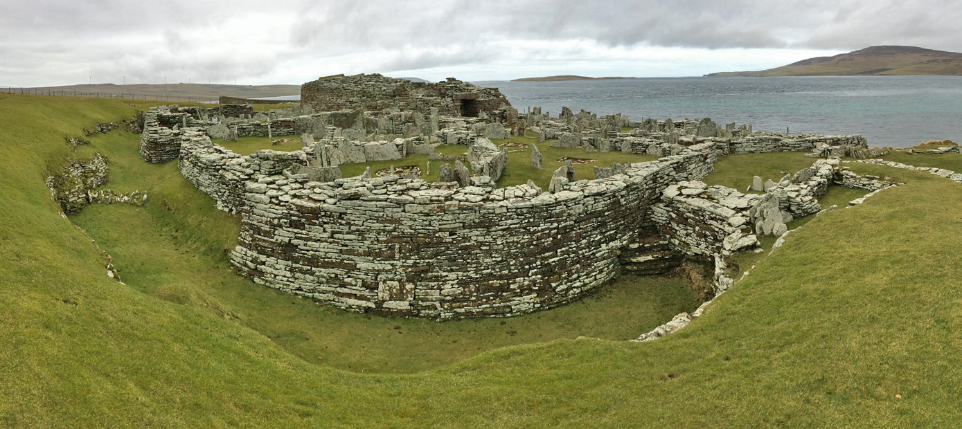
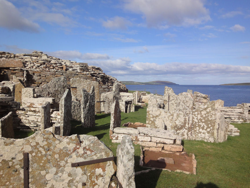
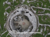
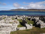
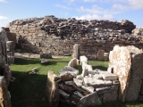
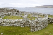
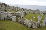
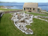
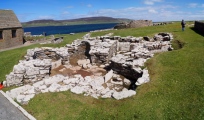
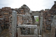
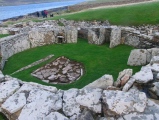
A "rabbit warren" of ancillary drystone residential structures surrounds the main tower and lies within the ring ramparts; these structures have been termed the most well preserved settlement adjoining any broch in Scotland. (Heritage, 2007) The broch is entered via a stone framed causeway on the eastern side, which is flanked by remains of some of the other residential dwellings Within the broch are massive vertical slabs that form separations within the living space; there is also a central hearth, water well and a quern. The existing ditch and rampart works are impressive, especially noting that historic siltation has reduced the original depths.
ROMAN AND NORSE CONNECTIONS. A Roman amphora dating to the first century AD was found within the broch itself. (Breeze, 2002) In the Orkney Islands numerous Pictish structures were adapted by Norse invaders, Gurness being one such instance. A tenth century AD female skeleton rife with Scandinavian brooches was excavated from an older rampart wall (RCAHMS, 1961). Several bronze rings were found on a severed hand found in a midden.(MacKie, 1971) Further Viking graves were uncovered on site with Norse artifacts of whetstone, a glass linen smoother, large jet bead and folding bronze balance.(Graham-Campbell, 1988) In addition, one of the largest of buildings on the site bears clear resemblance to the classic Norse hall architecture, although its provenance is unclear.
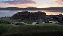
ENVIRONMENTAL FACTORS. The Broch of Gurness siting is consistent with other Iron Age brochs in the Orkney Islands. The choice of a rocky promontory with good views over Eynhallow Sound provides a sentinel position; in fact, the promontory of Point of Hellia commands a narrow passage of the sound only one kilometre from the island of Rousay. There is a sheltered enbayment sandy beach between the Point of Hellia and Grit Ness, which provided an inviting sea access to the early Picts and especially the seafaring Norsemen. To the south and east toward the hamlet of Aikerness unfold fertile grain fields that would have been tended by the Gurness Iron Age Pictish farmers.
REFERENCES
* Angus Konstam (2006) "Forts of Celtic Britain", Osprey Publishing, 64 pages, ISBN 184603064
* C. Michael Hogan (2007) ‘'Burroughston Broch'‘, the Megalithic Portal, ed. Andy Burnham
* The Heritage of the Orkney Islands: Broch of Gurness (2007)
* David John Breeze (2002) ‘'Historic Scotland: People and Places'‘, Sterling Publishing ISBN 0713486155
* RCAHMS 1946; J S Richardson 1948; V G Childe 1961
* E.W. MacKie, (1971) 'English migrants and Scottish brochs', Glasgow Archaeol J, 2, 1971, 69, 70,
* James Graham-Campbell and Colleen E. Batey (1988) ‘Vikings in Scotland: An Archaeological Survey'‘, Edinburgh University Press
(The above content was produced by C. Michael Hogan for the Megalithic Portal)
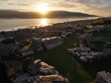
Note: The Brock of Gurness at midsummer dawn, more amazing photos on our page
You may be viewing yesterday's version of this page. To see the most up to date information please register for a free account.






These are just the first 25 photos of Gurness. If you log in with a free user account you will be able to see our entire collection.
Do not use the above information on other web sites or publications without permission of the contributor.
Click here to see more info for this site
Nearby sites
Key: Red: member's photo, Blue: 3rd party photo, Yellow: other image, Green: no photo - please go there and take one, Grey: site destroyed
Download sites to:
KML (Google Earth)
GPX (GPS waypoints)
CSV (Garmin/Navman)
CSV (Excel)
To unlock full downloads you need to sign up as a Contributory Member. Otherwise downloads are limited to 50 sites.
Turn off the page maps and other distractions
Nearby sites listing. In the following links * = Image available
12m NW 311° Aikerness Class I Pictish Symbol Stone (HY38182685)
1.6km NE 38° Viera Lodge Broch or Nuraghe (HY392281)
1.8km W 266° Knowe of Stenso* Broch or Nuraghe (HY3639426747)
1.8km S 191° Quoys Chambered Cairn Chambered Cairn (HY37822507)
2.0km ENE 71° Knowe of Burrian (Frotoft)* Broch or Nuraghe (HY40062745)
2.0km S 184° Redland South* Chambered Cairn (HY38002484)
2.1km NE 56° Knowe of Lairo* Chambered Cairn (HY39922796)
2.1km N 5° Westness Chambererd Tomb* Chambered Tomb (HY38402898)
2.2km ENE 57° Knowe of Ramsay* Chambered Cairn (HY40042800)
2.3km ENE 72° Langstane (Orkney)* Standing Stone (Menhir) (HY404275)
2.5km ENE 63° Knowe of Yarso* Chambered Cairn (HY40482795)
2.6km W 279° Knowe of Grugar* Broch or Nuraghe (HY35642730)
2.7km SE 135° Ness of Woodwick* Broch or Nuraghe (HY40072487)
2.9km W 272° Grugar* Carving (HY353270)
2.9km NNW 346° Knowe of Swandro* Chambered Cairn (HY37532966)
3.1km NNW 343° Knowe of Rowiegar* Chambered Cairn (HY37332978)
3.1km WNW 285° Burgar* Broch or Nuraghe (HY352277)
3.3km E 82° Knowe of Hunclett* Broch or Nuraghe (HY41442722)
3.3km ENE 76° Blackhammer* Chambered Tomb (HY41422761)
3.5km WNW 285° West Broch of Burgar* Chambered Cairn (HY34822782)
3.6km SSE 152° Knowe of Midgarth* Ancient Village or Settlement (HY39812361)
3.8km NNW 344° Midhowe Chambered Cairn* Chambered Cairn (HY37223051)
3.9km NNW 344° Midhowe Broch* Broch or Nuraghe (HY372306)
4.0km NNW 343° North Howe Broch* Broch or Nuraghe (HY3705130722)
4.4km E 79° Taversoe Tuick* Chambered Cairn (HY42572761)
View more nearby sites and additional images


 We would like to know more about this location. Please feel free to add a brief description and any relevant information in your own language.
 Wir möchten mehr über diese Stätte erfahren. Bitte zögern Sie nicht, eine kurze Beschreibung und relevante Informationen in Deutsch hinzuzufügen.
 Nous aimerions en savoir encore un peu sur les lieux. S'il vous plaît n'hesitez pas à ajouter une courte description et tous les renseignements pertinents dans votre propre langue.
 Quisieramos informarnos un poco más de las lugares. No dude en añadir una breve descripción y otros datos relevantes en su propio idioma.