<< Our Photo Pages >> Arthur's Stone - Chambered Tomb in England in Herefordshire
Submitted by Andy B on Saturday, 13 July 2024 Page Views: 48970
Neolithic and Bronze AgeSite Name: Arthur's StoneCountry: England County: Herefordshire Type: Chambered Tomb
Nearest Town: Hay-on-Wye Nearest Village: Dorstone
Map Ref: SO3188843124 Landranger Map Number: 148
Latitude: 52.082263N Longitude: 2.995375W
Condition:
| 5 | Perfect |
| 4 | Almost Perfect |
| 3 | Reasonable but with some damage |
| 2 | Ruined but still recognisable as an ancient site |
| 1 | Pretty much destroyed, possibly visible as crop marks |
| 0 | No data. |
| -1 | Completely destroyed |
| 5 | Superb |
| 4 | Good |
| 3 | Ordinary |
| 2 | Not Good |
| 1 | Awful |
| 0 | No data. |
| 5 | Can be driven to, probably with disabled access |
| 4 | Short walk on a footpath |
| 3 | Requiring a bit more of a walk |
| 2 | A long walk |
| 1 | In the middle of nowhere, a nightmare to find |
| 0 | No data. |
| 5 | co-ordinates taken by GPS or official recorded co-ordinates |
| 4 | co-ordinates scaled from a detailed map |
| 3 | co-ordinates scaled from a bad map |
| 2 | co-ordinates of the nearest village |
| 1 | co-ordinates of the nearest town |
| 0 | no data |
Internal Links:
External Links:
I have visited· I would like to visit
Martin_L woodini254 coldrum 43559959 would like to visit
kilmoryjay visited on 28th Dec 2024 - their rating: Cond: 5 Amb: 4 Access: 5
30081978 visited on 1st Apr 2023 - their rating: Amb: 3 Access: 5
Chrus visited on 10th Sep 2022 - their rating: Cond: 4 Amb: 5 Access: 5
bluebirdo visited on 17th Apr 2022 - their rating: Cond: 3 Amb: 4 Access: 5
Anne T visited on 13th Jul 2021 - their rating: Cond: 3 Amb: 4 Access: 4 Arthur's Stone: This was a really weird visit. No sooner had we parked in the small layby next to the stone's enclosure, and I'd started to take photographs, than a lady walked along the lane, right into the enclosure, sat down and started to have a picnic, so she was prominent in all the photographs. I was absolutely gobsmacked!
I plucked up the courage to ask her to move whilst I finished taking photographs, which she very kindly (but reluctantly) did, to the railing of the enclosure. Feeling somewhat guilty, I started talking to her, and it turned out she was an archaeologist who had come up to join a party of university students in a dig. A pleasant enough chat, but left me feeling uneasy that people would act that this (but then perhaps that's just me), and sort of ruined the visit for me.
MercuryMars visited on 17th Oct 2020 - their rating: Cond: 3 Amb: 4 Access: 5
Brian_Eyes visited on 29th Jul 2020 - their rating: Cond: 3 Amb: 4 Access: 5
kith visited on 4th Jun 2019 - their rating: Cond: 3 Amb: 4 Access: 5 Interesting Chambered Tomb on the roadside. Appears to have worked markings on a number of surfaces with an interesting angled access passage connected to the now exposed main structure.
markj99 visited on 25th Aug 2014 - their rating: Cond: 3 Amb: 3 Access: 5 There is no logical reason that the amount of effort required to reach a site should affect your interpretation of the site. However I have found that I undervalue sites adjacent to the roadside in comparison with sites in the middle of nowhere. That said, the remains of Arthur's Stone are quite impressive.
NickyD visited on 1st Sep 2013 - their rating: Cond: 3 Amb: 4 Access: 5
4clydesdale7 visited on 31st May 2013 - their rating: Cond: 4 Amb: 5 Access: 5 This site has to be very high on anyone's 'to visit' list
graemefield visited on 6th Jun 2009 - their rating: Cond: 3 Amb: 5 Access: 5
wildtalents visited on 1st Jul 2001 - their rating: Cond: 4 Amb: 5 Access: 5 After a bit of a struggle with map reading, we fluked finding the site, and could park just yards away on the layby. It's a marvellous place and the cracked capstone adds to the marvellousness, in an odd way. Fantastic views across the Golden Valley and definitely a site I'd like to return to.
There's a clearly defined passageway/crawl-space to one side leading to the dolmen.
FrothNinja visited on 1st Jun 1987 - their rating: Cond: 2 Amb: 4 Access: 5
coin visited - their rating: Cond: 4 Amb: 3 Access: 5
Geojazz DrewParsons jeniferj hamish mrcrow have visited here
Average ratings for this site from all visit loggers: Condition: 3.36 Ambience: 4.07 Access: 4.93
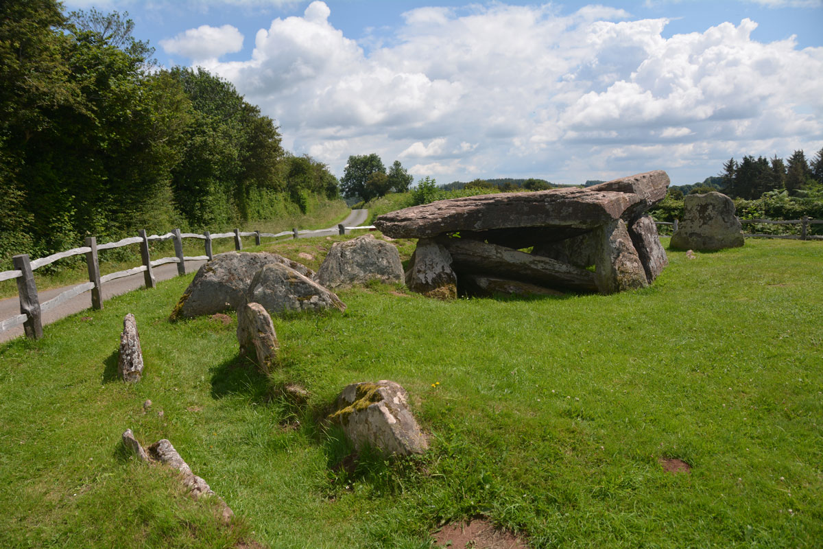
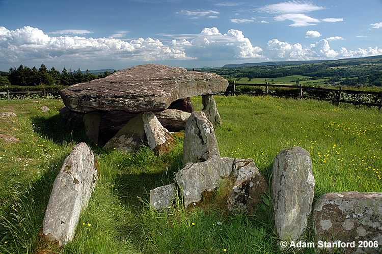
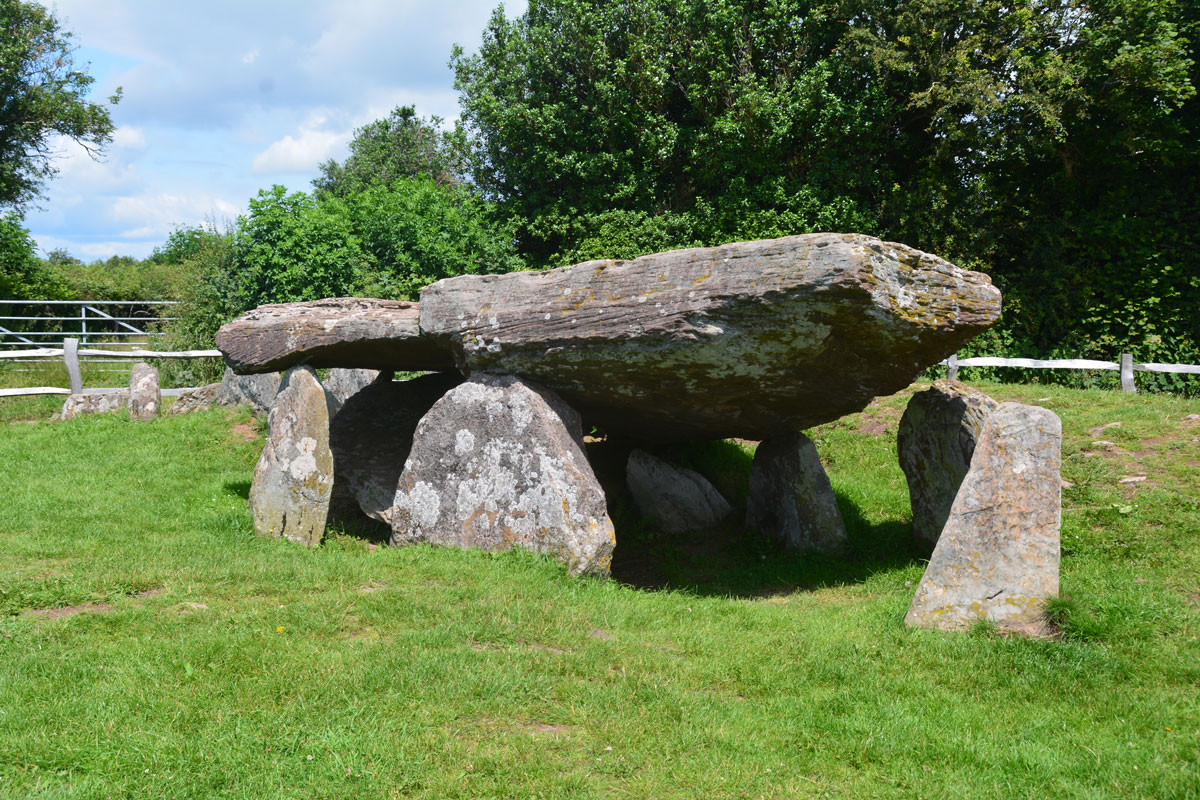
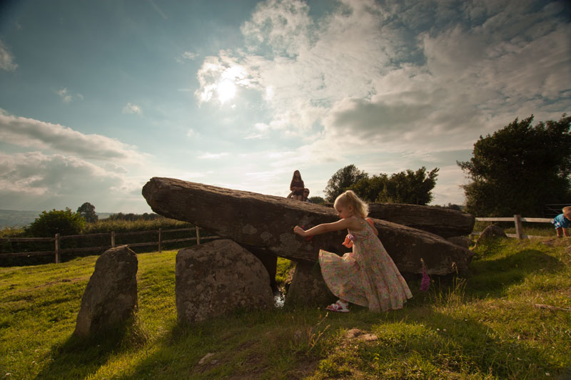
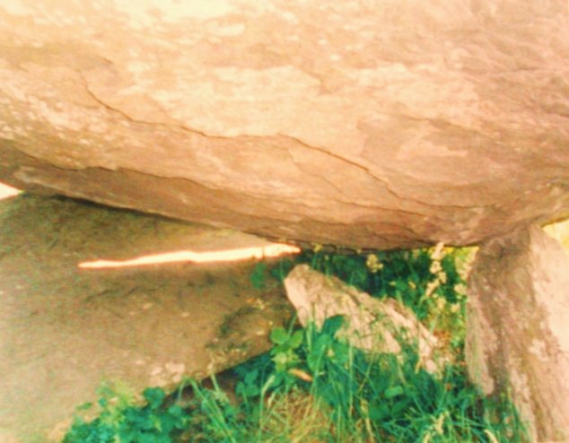
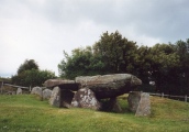
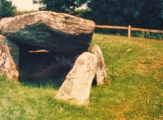
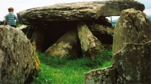
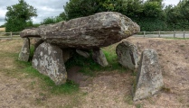
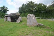
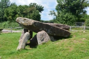
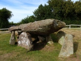
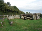
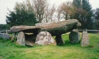
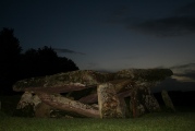
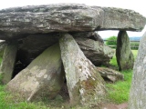
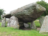
A large capstone is supported by nine uprights, and the foundations of a 4.6m long entrance passageway can be seen.
To the south is a stone known as the Quoit Stone bearing small man-made cup marks, again legend tells of Arthur's elbows as he prayed, or a giant's as he fell.
Worth visiting on the way to the bookshops of Hay-on-Wye, where you are guaranteed to find a book on virtually any subject
For more information see Historic England List ID 1010720. Pastscape features two entries for this site - see Monument No. 106083, which records this Neolithic chambered tomb. Pastscape">http://www.pastscape.org.uk/hob.aspx?hob_id=1524519">Pastscape Monument No. 1524519 talks about a large stone "just visible in the ditch across the road from the chamber, known locally as Arthur's Stone … its function and the nature of its relationship to the burial chamber are uncertain".
The Journal of Antiquities also features a page for this site - see their entry for Arthur’s Stone, Dorstone, Herefordshire, which includes photographs, a description and mention of the Quoit Stone (see Pastscape Monument 1524519 above).
Access: Signposted from the B4348, 8km east of Hay-on-Wye.
Hamish Fenton has now created over 100 3D models of archaeological sites, crafted through painstaking photogrammetry: megalithic and rock art sites, brochs, cross slabs. See lower down our page for his amazing model of Arthur's Stone
The 2021 excavations by the Universities of Manchester and Cardiff revealed that Arthur's Stone was once part of a much larger ceremonial landscape than previously thought, including a long mound thought to point towards Dorstone Hill, more in the comments below.
2022 excavation update in the comments below on our page. The Guardian article mentions the alignment with the Skirrid holy mountain to the south, which Angie Lake captured here in 2011.
Note: Possible stone circle find near Arthur's Stone, and tours of the excavations running all July, more in the comments on our page
You may be viewing yesterday's version of this page. To see the most up to date information please register for a free account.



These are just the first 25 photos of Arthur's Stone. If you log in with a free user account you will be able to see our entire collection.
Do not use the above information on other web sites or publications without permission of the contributor.
Click here to see more info for this site
Nearby sites
Key: Red: member's photo, Blue: 3rd party photo, Yellow: other image, Green: no photo - please go there and take one, Grey: site destroyed
Download sites to:
KML (Google Earth)
GPX (GPS waypoints)
CSV (Garmin/Navman)
CSV (Excel)
To unlock full downloads you need to sign up as a Contributory Member. Otherwise downloads are limited to 50 sites.
Turn off the page maps and other distractions
Nearby sites listing. In the following links * = Image available
1.1km SE 138° Dorstone Hill* Ancient Village or Settlement (SO32604230)
1.2km NNE 24° Chapel field Hillfort (SO32404425)
1.3km E 92° Pentre House Standing Stone* Standing Stone (Menhir) (SO33154307)
1.4km SW 231° The Golden Well (Dorstone)* Holy Well or Sacred Spring (SO30804228)
1.6km NNE 19° The Knapp (Bredwardine)* Ancient Village or Settlement (SO32454467)
2.0km SE 136° Great Llanavon Farm* Long Barrow (SO3322441689)
2.1km NE 48° Bredwardine Church* Carving (SO33484450)
4.8km ESE 114° Blakemere Church Stone* Marker Stone (SO362411)
5.5km SE 141° Peterchurch St Peter's Well* Holy Well or Sacred Spring (SO35333880)
5.7km ESE 108° Holy Well (Blakemere)* Holy Well or Sacred Spring (SO37254128)
6.1km SSW 194° Wern Derys* Standing Stone (Menhir) (SO30363726)
6.7km NW 310° St Peter's Well, Whitney on Wye* Holy Well or Sacred Spring (SO268475)
6.8km SE 142° Poston Camp Hillfort (SO3598937647)
8.9km WSW 239° Twyn-Y-Beddau* Round Barrow(s) (SO2414838610)
9.3km SE 133° Timberline Camp Hillfort (SO387367)
9.4km W 270° The Monk's Well* Holy Well or Sacred Spring (SO225432)
9.4km W 264° The Walk Well* Holy Well or Sacred Spring (SO225422)
9.6km SW 235° Maes-Coch Chambered Cairn (SO239378)
9.8km SW 233° Pen Y Beacon* Stone Circle (SO23933735)
9.9km WSW 250° Pen-y-Wyrlod* Chambered Tomb (SO22483987)
10.3km WNW 284° Crossfoot Farm Standing Stone* Standing Stone (Menhir) (SO21874573)
10.6km W 269° Clyro Court* Chambered Tomb (SO21234315)
11.6km SSW 196° St. Thomas' Well* Holy Well or Sacred Spring (SO28433201)
11.8km SE 142° Dunseal* Round Barrow(s) (SO391338)
11.9km S 187° Llanveyno Crosses* Ancient Cross (SO3031131361)
View more nearby sites and additional images


 We would like to know more about this location. Please feel free to add a brief description and any relevant information in your own language.
 Wir möchten mehr über diese Stätte erfahren. Bitte zögern Sie nicht, eine kurze Beschreibung und relevante Informationen in Deutsch hinzuzufügen.
 Nous aimerions en savoir encore un peu sur les lieux. S'il vous plaît n'hesitez pas à ajouter une courte description et tous les renseignements pertinents dans votre propre langue.
 Quisieramos informarnos un poco más de las lugares. No dude en añadir una breve descripción y otros datos relevantes en su propio idioma.