<< Our Photo Pages >> Pen Y Beacon - Stone Circle in Wales in Powys
Submitted by Johnny on Monday, 03 March 2003 Page Views: 22615
Neolithic and Bronze AgeSite Name: Pen Y Beacon Alternative Name: Blaenau, Pen-Y-BeaconCountry: Wales County: Powys Type: Stone Circle
Nearest Town: Hay-on-Wye
Map Ref: SO23933735 Landranger Map Number: 161
Latitude: 52.029323N Longitude: 3.110196W
Condition:
| 5 | Perfect |
| 4 | Almost Perfect |
| 3 | Reasonable but with some damage |
| 2 | Ruined but still recognisable as an ancient site |
| 1 | Pretty much destroyed, possibly visible as crop marks |
| 0 | No data. |
| -1 | Completely destroyed |
| 5 | Superb |
| 4 | Good |
| 3 | Ordinary |
| 2 | Not Good |
| 1 | Awful |
| 0 | No data. |
| 5 | Can be driven to, probably with disabled access |
| 4 | Short walk on a footpath |
| 3 | Requiring a bit more of a walk |
| 2 | A long walk |
| 1 | In the middle of nowhere, a nightmare to find |
| 0 | No data. |
| 5 | co-ordinates taken by GPS or official recorded co-ordinates |
| 4 | co-ordinates scaled from a detailed map |
| 3 | co-ordinates scaled from a bad map |
| 2 | co-ordinates of the nearest village |
| 1 | co-ordinates of the nearest town |
| 0 | no data |
Internal Links:
External Links:
I have visited· I would like to visit
radrad emh504 MicheleW jonathandown would like to visit
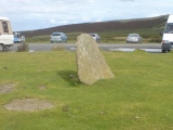
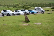
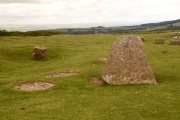
Anne T visited on 12th Jul 2021 - their rating: Cond: 2 Amb: 2 Access: 4 Blaenau Stone Circle (remains of): At first view, there was only one standing stone here, immediately adjacent to the car park park, where people were picnicking in their cars and rubbish all around. Rather than there being a footpath, it was a short walk across the grass to the standing stone.
I was very disappointed, but we got out to explore anyway, and found what appeared to be three other stones lying flat in the grass, and other lumps and bumps around that could have been stones lying under the turf.
We had the Coflein record up on our phones, so tried to trace the 29.8m diameter of the circle, and thought we spotted part of the outer arc of the circle away from the car park.
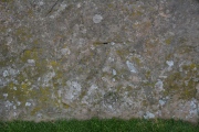
The one standing stone has a well-worn bench mark on its southern side, almost at ground level.
MercuryMars visited on 17th Oct 2020 - their rating: Access: 5
SumDoood visited on 1st Jan 1966 - their rating: Cond: 2 Amb: 2 Access: 5
TheCaptain Bladup cerrig sem mrcrow have visited here
Average ratings for this site from all visit loggers: Condition: 2 Ambience: 2 Access: 4.67
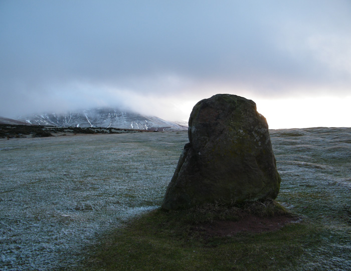
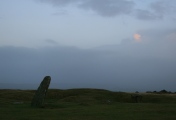
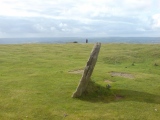
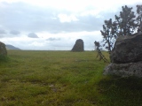
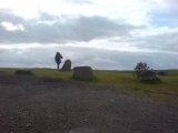
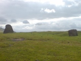
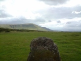
The largest stone, on the east of the circle, is 1.5m high and 1.1m wide and has much smaller stones to either side of it which follow the arc of a circle 30m in diameter. Underneath the Ordnance Survey bench mark, a circular depression can be seen which is believed to be a cupmark, something of a rarity in this area of Wales. Four very small stones are just discernible on the opposite side of the circle with another stone to the south.
The circle has an obvious entrance to the SE marked by flanking portal stones which are not a common feature amongst stone circles in Wales.
More information can be found on Coflein NPRN 92240, a site visit from 2002 describing this site as: "A circle, 29.8m in diameter, comprising thirteen stones averaging 0.1m high, with the exception of one that stands 1.5m high. Obscured to the E by a carpark, the circle was recognised in 1969".
You may be viewing yesterday's version of this page. To see the most up to date information please register for a free account.


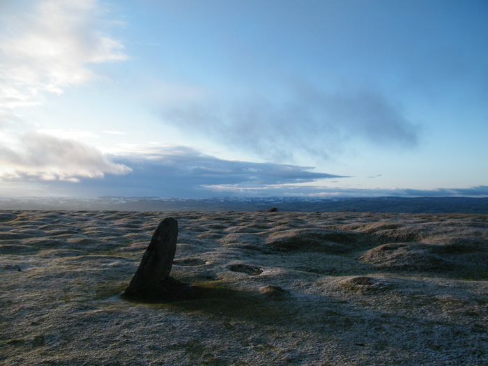

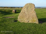




These are just the first 25 photos of Pen Y Beacon. If you log in with a free user account you will be able to see our entire collection.
Do not use the above information on other web sites or publications without permission of the contributor.
Click here to see more info for this site
Nearby sites
Key: Red: member's photo, Blue: 3rd party photo, Yellow: other image, Green: no photo - please go there and take one, Grey: site destroyed
Download sites to:
KML (Google Earth)
GPX (GPS waypoints)
CSV (Garmin/Navman)
CSV (Excel)
To unlock full downloads you need to sign up as a Contributory Member. Otherwise downloads are limited to 50 sites.
Turn off the page maps and other distractions
Nearby sites listing. In the following links * = Image available
451m N 355° Maes-Coch Chambered Cairn (SO239378)
1.3km N 9° Twyn-Y-Beddau* Round Barrow(s) (SO2414838610)
2.9km NNW 329° Pen-y-Wyrlod* Chambered Tomb (SO22483987)
4.6km S 183° Blaenbwch* Standing Stone (Menhir) (SO23633271)
5.1km NNW 343° The Walk Well* Holy Well or Sacred Spring (SO225422)
5.7km W 276° Little Lodge* Chambered Tomb (SO18223806)
5.9km S 176° Darren Esgob* Stone Circle (SO242315)
5.9km W 279° Coed-y-Polyn Cairn (SO18083832)
6.0km NNW 345° The Monk's Well* Holy Well or Sacred Spring (SO225432)
6.1km SW 227° Wern Frank Wood Cairn Cairn (SO194332)
6.4km NW 307° St Meilig’s Well* Holy Well or Sacred Spring (SO189413)
6.4km NW 312° St Maelog's Cross* Ancient Cross (SO1923941704)
6.4km NNW 334° Clyro Court* Chambered Tomb (SO21234315)
6.4km E 90° Wern Derys* Standing Stone (Menhir) (SO30363726)
6.4km W 271° Gweryfed Park* Hillfort (SO17503759)
6.4km SSE 165° Capel-y-ffin Standing Stone (Menhir) (SO2550031118)
6.5km WSW 247° Ffostil North Chambered Long Barrow* Chambered Tomb (SO17913495)
6.5km WSW 247° Ffostil South Chambered Long Barrow* Chambered Tomb (SO179349)
6.7km NW 307° Brynrhydd Common* Misc. Earthwork (SO18644145)
7.0km SE 139° St. Thomas' Well* Holy Well or Sacred Spring (SO28433201)
7.2km W 275° Bronllys 2* Round Barrow(s) (SO16783811)
7.2km WSW 256° Croes-llechau (Bronllys) Long Barrow (SO169357)
7.6km W 273° Spread Eagle Cursus Cursus (SO16283784)
7.7km W 274° Spread Eagle Cursus Cursus (SO16203795)
7.9km W 269° Pipton* Chambered Tomb (SO16043729)
View more nearby sites and additional images


 We would like to know more about this location. Please feel free to add a brief description and any relevant information in your own language.
 Wir möchten mehr über diese Stätte erfahren. Bitte zögern Sie nicht, eine kurze Beschreibung und relevante Informationen in Deutsch hinzuzufügen.
 Nous aimerions en savoir encore un peu sur les lieux. S'il vous plaît n'hesitez pas à ajouter une courte description et tous les renseignements pertinents dans votre propre langue.
 Quisieramos informarnos un poco más de las lugares. No dude en añadir una breve descripción y otros datos relevantes en su propio idioma.