<< Our Photo Pages >> Kraps Ring - Ancient Village or Settlement in England in Devon
Submitted by simonsworn on Sunday, 08 May 2005 Page Views: 10430
Multi-periodSite Name: Kraps RingCountry: England County: Devon Type: Ancient Village or Settlement
Nearest Town: Princetown Nearest Village: Postbridge
Map Ref: SX64427814
Latitude: 50.587207N Longitude: 3.916605W
Condition:
| 5 | Perfect |
| 4 | Almost Perfect |
| 3 | Reasonable but with some damage |
| 2 | Ruined but still recognisable as an ancient site |
| 1 | Pretty much destroyed, possibly visible as crop marks |
| 0 | No data. |
| -1 | Completely destroyed |
| 5 | Superb |
| 4 | Good |
| 3 | Ordinary |
| 2 | Not Good |
| 1 | Awful |
| 0 | No data. |
| 5 | Can be driven to, probably with disabled access |
| 4 | Short walk on a footpath |
| 3 | Requiring a bit more of a walk |
| 2 | A long walk |
| 1 | In the middle of nowhere, a nightmare to find |
| 0 | No data. |
| 5 | co-ordinates taken by GPS or official recorded co-ordinates |
| 4 | co-ordinates scaled from a detailed map |
| 3 | co-ordinates scaled from a bad map |
| 2 | co-ordinates of the nearest village |
| 1 | co-ordinates of the nearest town |
| 0 | no data |
Internal Links:
External Links:
I have visited· I would like to visit
Catrinm visited on 12th Feb 2023 - their rating: Cond: 2 Amb: 4 Access: 4
Catrinm visited on 12th Feb 2023 - their rating: Cond: 3 Amb: 3 Access: 4
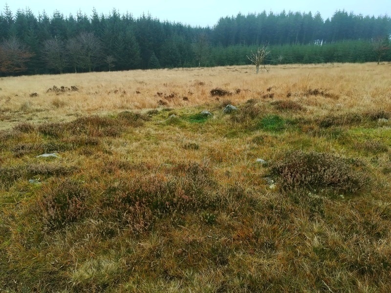
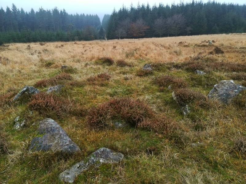
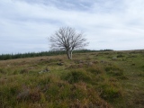
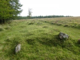
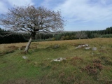
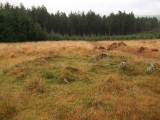
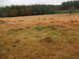
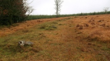
TheCaptain visited on 18th Sep 2020 - their rating: Cond: 3 Amb: 4 Access: 3 Time is getting on, and clouds seem to be coming over, and I am getting tired. What to do now, I don't want to give up and return the way I came, but completing the planned walk will be a lot further in distance. However, most of the rest of the walk will be on marked pathways, which is probably 3 times easier than tromping over open moorland, so I decide to carry on. So I head northwards downslope to Kraps Ring, past a lovely fallen tree which is still growing from its horizontal position, the branches now turning upwards. Then there is a lovely hut circle with a tree in its entrance. Then Kraps Ring itself. For some reason I was expecting some reasonably sized earthworks (no idea why, its not what you get on Dartmoor), but what I found was large low banks of stone, no doubt from a fallen wall with remnants of many hut circles within, rather like a smaller version of Grimspound. Again, I wonder the wisdom of the full walk via Postbridge which would involve a significant loss of altitude, so I decide to make a cut eastwards through the forest along what I assume is a track, but just turns out to be a firebreak or something. However walking through the forest adjacent to the break is pleasant and easy enough, encountering all sorts of toadstools and birds in the process, until I come to a fence at the side of the road from Postbridge to Bellever which is easy enough to get through. The walk is now much easier along the bridleway across open common land to Bellever where I decide to drop down to the river for a look at the pretty old clapper bridge in a wonderful riverside area of trees and grass. There are a couple of people having a picnic, and further down the river a couple fly fishing. Apart from all the no parking cones and other signs, there are no signs of the chaos that was supposedly here a month or so ago with masses camping out in the woodland. What a beautiful and idyllic place. Back to the bridleway which climbs up through the forest to Laughter Hole with its incredible lichen covered trees, and further up and eventually out onto the open moorland below Laughter Tor.
graemefield visited on 7th Sep 2016 - their rating: Cond: 3 Amb: 4 Access: 3
graemefield visited on 3rd Aug 2008 - their rating: Cond: 2 Amb: 4 Access: 2
SandyG cazzyjane have visited here
Average ratings for this site from all visit loggers: Condition: 2.6 Ambience: 3.8 Access: 3.2

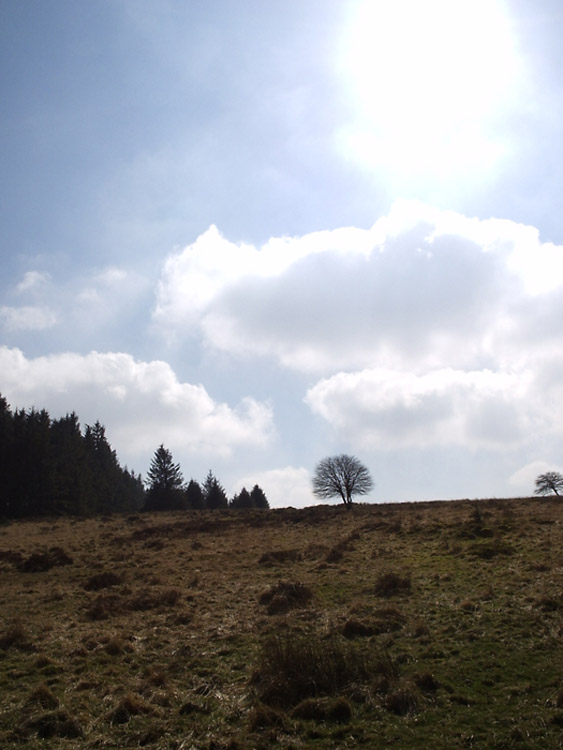
This settlement was never over-planted by trees and is the only remaining enclosure visible in this area, at least two others were totally destroyed during the afforestation of Bellever Tor and Lakehead Hill in the 1930's and onwards. The stone rows of Lakehead Hill East and Lakehead Hill West and Cairn 7 all lie closeby, but the nature of the topography means that they would not have been visible from the settlement.
Update November 2019: This settlement is featured on the Prehistoric Dartmoor Walks (PDW) website - see their entry for the Kraps Ring Enclosed Settlement.
This site is also recorded as Pastscape Monument No. 442593, as MDV5861 (Kraps Ring enclosed hut circle settlement) on the Devon and Dartmoor HER, and scheduled as Historic England List Entry No. 1018509 (Partially enclosed stone hut circle settlement known as Kraps Ring).
You may be viewing yesterday's version of this page. To see the most up to date information please register for a free account.










Do not use the above information on other web sites or publications without permission of the contributor.
Click here to see more info for this site
Nearby sites
Key: Red: member's photo, Blue: 3rd party photo, Yellow: other image, Green: no photo - please go there and take one, Grey: site destroyed
Download sites to:
KML (Google Earth)
GPX (GPS waypoints)
CSV (Garmin/Navman)
CSV (Excel)
To unlock full downloads you need to sign up as a Contributory Member. Otherwise downloads are limited to 50 sites.
Turn off the page maps and other distractions
Nearby sites listing. In the following links * = Image available
353m NE 46° Lakehead Newtake Cist* Cairn (SX64687838)
379m S 188° Lakehead Cairn Circle 1* Ring Cairn (SX6435677766)
475m SSW 199° Lakehead Hill 2* Cist (SX6425077696)
489m S 183° Lakehead Hill W* Stone Row / Alignment (SX6437977653)
540m S 181° Lakehead Hill* Stone Row / Alignment (SX644776)
542m S 171° Lakehead Hill E* Stone Row / Alignment (SX6449577603)
658m S 185° Lakehead Hill 5* Stone Circle (SX6434677486)
676m S 184° Lakehead Hill 6* Cairn (SX6435877467)
728m NNE 16° National Park Visitors Centre Postbridge* Museum (SX6463578836)
733m NNW 333° Archerton Settlement* Ancient Village or Settlement (SX6410078800)
791m SSE 158° Lakehead Hill SE Stone Row* Stone Row / Alignment (SX64707740)
806m SSE 157° Lakehead Hill Cairn 7* Cairn (SX6471477389)
866m SSE 167° Lakehead Hill South Hut Circle* Ancient Village or Settlement (SX6459177291)
873m SSW 194° Lakehead Hill South West Stone Row / Alignment (SX64187730)
923m NW 320° Archerton Tennis Court cist* Cist (SX63847886)
966m N 356° Archerton Newtake Cist* Cist (SX6438179105)
1.0km SSE 161° Lakehead Hill Cairn 8* Cairn (SX6471777178)
1.3km WSW 255° Arch Tor* Cairn (SX63167784)
1.3km NNE 33° Maggie Cross* Ancient Cross (SX6516679216)
1.3km S 176° Bellever Tor N Settlement* Ancient Village or Settlement (SX64487682)
1.4km NNE 12° Ringhill Stone Row / Alignment (SX64737948)
1.4km NW 317° Chittaford Down cairn circle and cist* Cist (SX6350179193)
1.5km SSE 161° Bellever Tor NE Settlement* Ancient Village or Settlement (SX64867675)
1.5km NNW 330° Chittaford Down Platform Cairn Circle and Cist* Cairn (SX6368779463)
1.6km NNW 342° Roundy Park settlement* Ancient Village or Settlement (SX63977964)
View more nearby sites and additional images


 We would like to know more about this location. Please feel free to add a brief description and any relevant information in your own language.
 Wir möchten mehr über diese Stätte erfahren. Bitte zögern Sie nicht, eine kurze Beschreibung und relevante Informationen in Deutsch hinzuzufügen.
 Nous aimerions en savoir encore un peu sur les lieux. S'il vous plaît n'hesitez pas à ajouter une courte description et tous les renseignements pertinents dans votre propre langue.
 Quisieramos informarnos un poco más de las lugares. No dude en añadir una breve descripción y otros datos relevantes en su propio idioma.