<< Our Photo Pages >> Tan-Y-Muriau - Chambered Cairn in Wales in Gwynedd
Submitted by Sunny100 on Sunday, 21 July 2002 Page Views: 10550
Neolithic and Bronze AgeSite Name: Tan-Y-Muriau Alternative Name: Rhiw Burial ChamberCountry: Wales County: Gwynedd Type: Chambered Cairn
Map Ref: SH23772877 Landranger Map Number: 123
Latitude: 52.827562N Longitude: 4.617174W
Condition:
| 5 | Perfect |
| 4 | Almost Perfect |
| 3 | Reasonable but with some damage |
| 2 | Ruined but still recognisable as an ancient site |
| 1 | Pretty much destroyed, possibly visible as crop marks |
| 0 | No data. |
| -1 | Completely destroyed |
| 5 | Superb |
| 4 | Good |
| 3 | Ordinary |
| 2 | Not Good |
| 1 | Awful |
| 0 | No data. |
| 5 | Can be driven to, probably with disabled access |
| 4 | Short walk on a footpath |
| 3 | Requiring a bit more of a walk |
| 2 | A long walk |
| 1 | In the middle of nowhere, a nightmare to find |
| 0 | No data. |
| 5 | co-ordinates taken by GPS or official recorded co-ordinates |
| 4 | co-ordinates scaled from a detailed map |
| 3 | co-ordinates scaled from a bad map |
| 2 | co-ordinates of the nearest village |
| 1 | co-ordinates of the nearest town |
| 0 | no data |
Internal Links:
External Links:
I have visited· I would like to visit
Couplands visited on 24th Mar 2024 - their rating: Cond: 3 Amb: 3 Access: 4
Catrinm visited on 31st Mar 2018 - their rating: Cond: 3 Amb: 4 Access: 3 Access from rhiw footpath deliberately blocked by landowner - footpath not accessible because of barbed wire / blocked field entrances/ ‘ no footpath ‘ signs..
Thus visible only from a distance on this route ( there is another path which runs close) - but in many ways this dustant view ver impressive as you rarely see two dolmens/longcairns together
Average ratings for this site from all visit loggers: Condition: 3 Ambience: 3.5 Access: 3.5
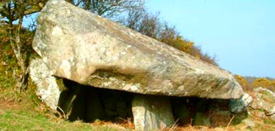
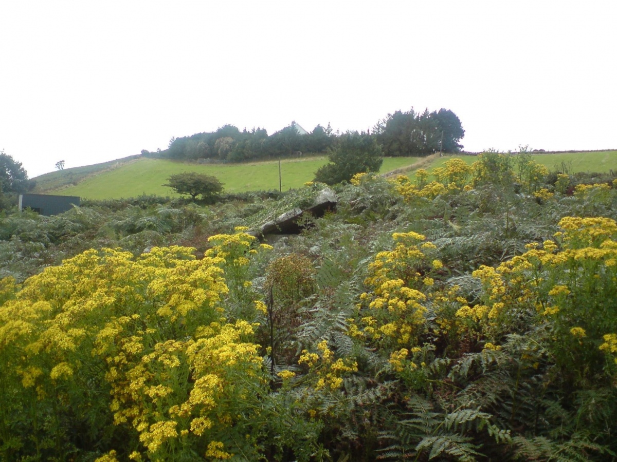
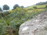
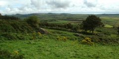
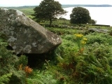
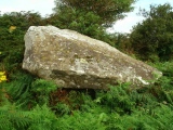
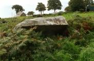
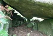
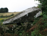
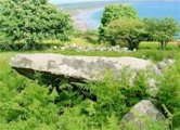
It dates from the Neolithic Age. The giant capstone is 20 foot long but has slipped somewhat, but the up-right stones still manage to support it, and its portal is still there, just about.
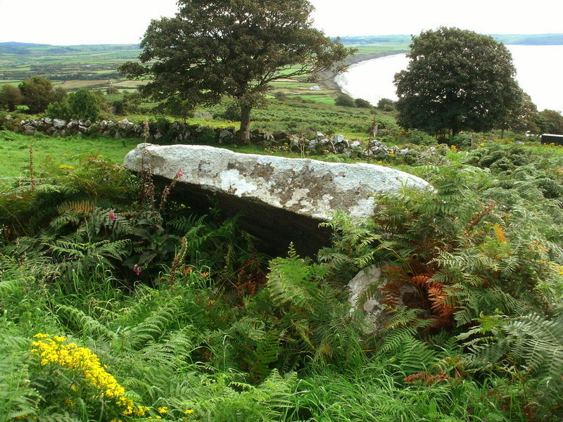
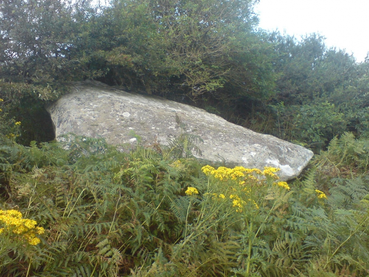
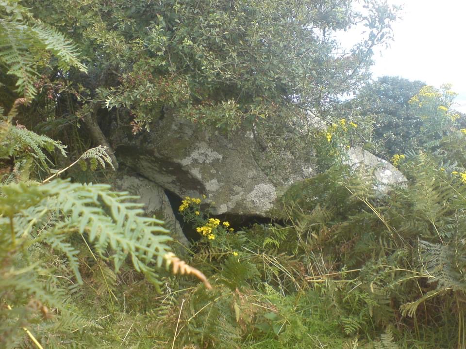
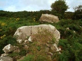
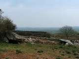
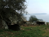
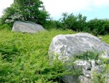
Close by another fallen capstone can be seen but this Neolithic chamber has been damaged. The middle part has obviously been robbed to make nearby walls, and its uprights are scattered about or missing. However, this does not detract from the beauty of these pre-historic sites, which overlook Porth Neigul and the southern tip of the Lleyn Peninsula. Near by at Cilan Uchaf, a single stone is all that remains of a lost burial chamber - again the stones have, sadly, been robbed away.
Site entry submitted by Vicky Site description submitted by sunny100 (18.06.2010)
You may be viewing yesterday's version of this page. To see the most up to date information please register for a free account.

Do not use the above information on other web sites or publications without permission of the contributor.
Click here to see more info for this site
Nearby sites
Key: Red: member's photo, Blue: 3rd party photo, Yellow: other image, Green: no photo - please go there and take one, Grey: site destroyed
Download sites to:
KML (Google Earth)
GPX (GPS waypoints)
CSV (Garmin/Navman)
CSV (Excel)
To unlock full downloads you need to sign up as a Contributory Member. Otherwise downloads are limited to 50 sites.
Turn off the page maps and other distractions
Nearby sites listing. In the following links * = Image available
491m SW 230° Ffynnon Aelrhiw* Holy Well or Sacred Spring (SH23382847)
820m NNE 29° Ffynnon Saint (Rhiw)* Holy Well or Sacred Spring (SH24202947)
846m NNE 28° Tyn-y-parc Holy Well* Holy Well or Sacred Spring (SH242295)
870m SW 220° Bronheulog* Burial Chamber or Dolmen (SH23192812)
892m NW 322° Mynydd Rhiw South* Cairn (SH23242949)
895m WSW 237° Rhiw fort* Ancient Village or Settlement (SH23002831)
973m NNW 326° Mynydd Rhiw Cairn 1* Cairn (SH23262960)
990m NNW 327° Mynydd Rhiw Cairn 2* Cairn (SH23262962)
1.1km NNW 332° Mynydd Rhiw Cairn 3* Cairn (SH23302972)
1.2km NNW 340° Mynydd Rhiw Neolithic axe factory* Ancient Mine, Quarry or other Industry (SH23392991)
1.6km SW 224° Capel Tan-Y-Foel* Standing Stone (Menhir) (SH22612767)
1.6km SSW 204° Tuhwnt-I'r-Mynyd Cairn (SH23062731)
1.6km NNW 338° Castell Caeron Hillfort (SH232303)
1.7km SSW 213° Mynydd y Graig* Hillfort (SH228274)
1.8km NE 50° Gelliwig Ancient Palace (SH252299)
2.1km W 281° Meillionydd double ringwork* Hillfort (SH21692924)
2.8km NNW 335° Ffynnon Fair (Gwynedd)* Holy Well or Sacred Spring (SH22663139)
3.2km NNW 337° Cae Newydd Mynachdy Hillfort (SH22593178)
3.3km SW 232° St Maelrhys’ Holy Well Holy Well or Sacred Spring (SH21052683)
3.3km NW 305° Maenhir Penygroeslon Standing Stone (Menhir) (SH21093079)
3.4km SW 233° St Maelrhys’ Church, Llanfaelrhys* Holy Well or Sacred Spring (SH21002683)
4.1km N 357° Meyllteyrn* Standing Stone (Menhir) (SH23713283)
4.4km W 270° Ffynnon Ffol Holy Well or Sacred Spring (SH19402891)
4.8km NW 320° Llangwnnadl* Standing Stone (Menhir) (SH20843253)
5.1km W 264° Castell Odo* Hillfort (SH187284)
View more nearby sites and additional images


 We would like to know more about this location. Please feel free to add a brief description and any relevant information in your own language.
 Wir möchten mehr über diese Stätte erfahren. Bitte zögern Sie nicht, eine kurze Beschreibung und relevante Informationen in Deutsch hinzuzufügen.
 Nous aimerions en savoir encore un peu sur les lieux. S'il vous plaît n'hesitez pas à ajouter une courte description et tous les renseignements pertinents dans votre propre langue.
 Quisieramos informarnos un poco más de las lugares. No dude en añadir una breve descripción y otros datos relevantes en su propio idioma.