<< Our Photo Pages >> Stripple Stones - Stone Circle in England in Cornwall
Submitted by TheCaptain on Monday, 22 December 2008 Page Views: 21956
Neolithic and Bronze AgeSite Name: Stripple Stones Alternative Name: SX14357521Country: England County: Cornwall Type: Stone Circle
Nearest Town: Bodmin Nearest Village: Blisland
Map Ref: SX14357521 Landranger Map Number: 200
Latitude: 50.547106N Longitude: 4.621764W
Condition:
| 5 | Perfect |
| 4 | Almost Perfect |
| 3 | Reasonable but with some damage |
| 2 | Ruined but still recognisable as an ancient site |
| 1 | Pretty much destroyed, possibly visible as crop marks |
| 0 | No data. |
| -1 | Completely destroyed |
| 5 | Superb |
| 4 | Good |
| 3 | Ordinary |
| 2 | Not Good |
| 1 | Awful |
| 0 | No data. |
| 5 | Can be driven to, probably with disabled access |
| 4 | Short walk on a footpath |
| 3 | Requiring a bit more of a walk |
| 2 | A long walk |
| 1 | In the middle of nowhere, a nightmare to find |
| 0 | No data. |
| 5 | co-ordinates taken by GPS or official recorded co-ordinates |
| 4 | co-ordinates scaled from a detailed map |
| 3 | co-ordinates scaled from a bad map |
| 2 | co-ordinates of the nearest village |
| 1 | co-ordinates of the nearest town |
| 0 | no data |
Internal Links:
External Links:
I have visited· I would like to visit
Olivier would like to visit
Catrinm visited on 13th Apr 2025 - their rating: Cond: 3 Amb: 4 Access: 3
markj99 visited on 10th Sep 2022 - their rating: Cond: 3 Amb: 5 Access: 3 The Stripple Stones Henge and Stone Circle are one of the most impressive monuments in Cornwall. The relative seclusion gives this site a relaxed vibe.
LiveAndrew couldn't find on 2nd Sep 2021
SandyG visited on 25th Jun 2017 - their rating: Cond: 3 Amb: 4 Access: 2
lucasn visited - their rating: Cond: 4 Amb: 5 Access: 2
celticmaiden55 TheCaptain have visited here
Average ratings for this site from all visit loggers: Condition: 3.25 Ambience: 4.5 Access: 2.5
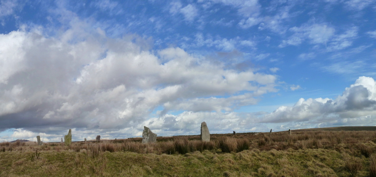
The larger fallen stones at the site weren't re-erected in 2016 because they were classed as been over 7 tons and the equipment they used couldn't lift more than 7 ton stones, Hopefully one day they'll also be re-erected, The other prone stones weren't re-erected because of their broken conditions.
With thanks to Bladup for the above update, Dec 2024.
Directions to Stripple Stones by markj99, added September 2022: Take the St Breward/Temple turn off the A30. Follow the St Breward road for c. 0.8 mile to the 1st crossroad. Turn left and park up on the grass verge after c. 0.2 miles. Walk c. 170 yards NNW to Trippet Stones. Walk NE for 0.3 miles to the corner of the common. Follow the track NE for c. 0.35 miles. Walk SE for c. 0.2 miles to the summit of Hawk's Tor. The Stripple Stones are located 0.25 miles SE of the summit. My route to Stripple Stones is on OS Maps here.
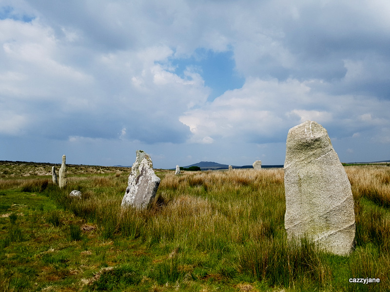
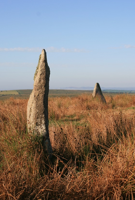
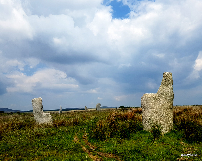
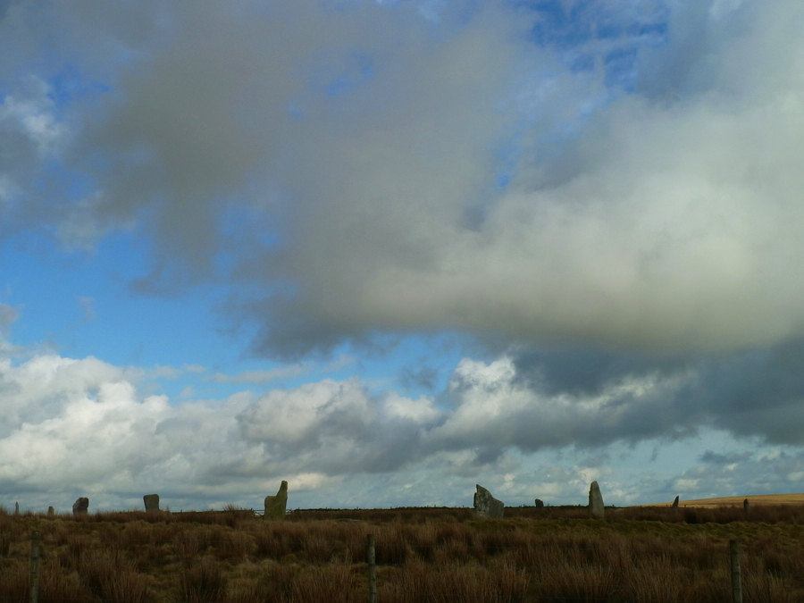
The circle stands in the middle of a henge 68.3m (224 feet) in diameter, which has an "entrance" 4.6m (15 feet) wide located at the WSW. Three semi-circular bulges in the henge are apparent at the NNE, E, and WNW portions.
Near the centre of the circle is a fallen pillar 3.7m (12 feet) long, originally standing 4.3m(14 feet) SSE from the centre of the ring. It has been suggested that the pillar could have been used as a backsight from which an observer, looking at the edges of the three semi-circular bulges on the henge, would have seen the major northern moonrise at the NNE, the equinoctial sunrise at the E, and the May Day sunset at the WNW.
Access: Just off the A30 on road towards St Breward, not far beyond Jamaica Inn. The Trippet Stones are visible from the road, and the Stripple Stones are 1km further on to the ENE.
You may be viewing yesterday's version of this page. To see the most up to date information please register for a free account.



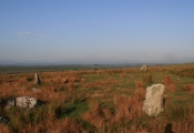
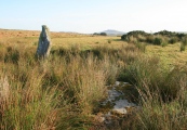


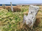
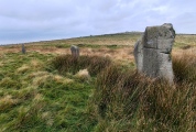
These are just the first 25 photos of Stripple Stones. If you log in with a free user account you will be able to see our entire collection.
Do not use the above information on other web sites or publications without permission of the contributor.
Click here to see more info for this site
Nearby sites
Key: Red: member's photo, Blue: 3rd party photo, Yellow: other image, Green: no photo - please go there and take one, Grey: site destroyed
Download sites to:
KML (Google Earth)
GPX (GPS waypoints)
CSV (Garmin/Navman)
CSV (Excel)
To unlock full downloads you need to sign up as a Contributory Member. Otherwise downloads are limited to 50 sites.
Turn off the page maps and other distractions
Nearby sites listing. In the following links * = Image available
1.3km W 259° Trippet Stones* Stone Circle (SX13117501)
1.4km NNW 339° Carkees Tor* Ancient Village or Settlement (SX139765)
1.4km NW 308° Carkees Down Long House* Ancient Village or Settlement (SX133761)
1.4km W 280° Carbilly Cairn* Cairn (SX130755)
1.7km WSW 236° Manor Common North* Cairn (SX1292074331)
1.7km SW 233° Manor Common South* Cairn (SX1297174241)
1.7km WNW 292° Carbilly Farmstead Ancient Village or Settlement (SX128759)
1.7km NW 316° Ivey Clapper Bridge* Ancient Trackway (SX1318776490)
1.8km W 273° Arthur's Sword* Natural Stone / Erratic / Other Natural Feature (SX12527537)
1.9km NW 314° Emblance Downs Hut Circle* Ancient Village or Settlement (SX130766)
2.0km NW 326° Leaze Hut Circle* Ancient Village or Settlement (SX133769)
2.2km SE 140° Blacktor Downs cairns Barrow Cemetery (SX157735)
2.2km NW 323° Leaze Cist* Cist (SX131770)
2.2km NNW 340° Leaze stone circle* Stone Circle (SX13677729)
2.2km NNW 342° Leaze cairn* Cairn (SX13737733)
2.3km NNE 14° Butterstor Ancient Village or Settlement (SX150774)
2.3km ESE 119° Colquite Ringcairn* Ring Cairn (SX16337400)
2.3km WNW 296° Whiteheads Settlement Ancient Village or Settlement (SX123763)
2.3km NW 312° Bolatherick* Standing Stone (Menhir) (SX12667684)
2.3km WNW 285° Bradford Hut Circles Ancient Village or Settlement (SX121759)
2.4km WNW 301° Whiteheads Cist* Cist (SX12377649)
2.4km NW 304° Whiteheads Standing Stone* Standing Stone (Menhir) (SX1241976611)
2.4km NNW 341° Emblance Down stone row* Stone Row / Alignment (SX13677750)
2.4km SE 144° Blacktor Settlement* Ancient Village or Settlement (SX157732)
2.4km NNW 337° King Arthur's Down SE* Stone Circle (SX13497750)
View more nearby sites and additional images


 We would like to know more about this location. Please feel free to add a brief description and any relevant information in your own language.
 Wir möchten mehr über diese Stätte erfahren. Bitte zögern Sie nicht, eine kurze Beschreibung und relevante Informationen in Deutsch hinzuzufügen.
 Nous aimerions en savoir encore un peu sur les lieux. S'il vous plaît n'hesitez pas à ajouter une courte description et tous les renseignements pertinents dans votre propre langue.
 Quisieramos informarnos un poco más de las lugares. No dude en añadir una breve descripción y otros datos relevantes en su propio idioma.