<< Our Photo Pages >> Chapel Carn Brea Tomb - Chambered Tomb in England in Cornwall
Submitted by TheCaptain on Wednesday, 10 August 2022 Page Views: 15326
Neolithic and Bronze AgeSite Name: Chapel Carn Brea Tomb Alternative Name: Chapel Carn Brea Summit Chambered CairnCountry: England County: Cornwall Type: Chambered Tomb
Nearest Town: St. Just Nearest Village: Crows-an-wra
Map Ref: SW38582807
Latitude: 50.095074N Longitude: 5.656588W
Condition:
| 5 | Perfect |
| 4 | Almost Perfect |
| 3 | Reasonable but with some damage |
| 2 | Ruined but still recognisable as an ancient site |
| 1 | Pretty much destroyed, possibly visible as crop marks |
| 0 | No data. |
| -1 | Completely destroyed |
| 5 | Superb |
| 4 | Good |
| 3 | Ordinary |
| 2 | Not Good |
| 1 | Awful |
| 0 | No data. |
| 5 | Can be driven to, probably with disabled access |
| 4 | Short walk on a footpath |
| 3 | Requiring a bit more of a walk |
| 2 | A long walk |
| 1 | In the middle of nowhere, a nightmare to find |
| 0 | No data. |
| 5 | co-ordinates taken by GPS or official recorded co-ordinates |
| 4 | co-ordinates scaled from a detailed map |
| 3 | co-ordinates scaled from a bad map |
| 2 | co-ordinates of the nearest village |
| 1 | co-ordinates of the nearest town |
| 0 | no data |
Internal Links:
External Links:
I have visited· I would like to visit
coin micske would like to visit
Catrinm visited on 1st Feb 2025 - their rating: Cond: 2 Amb: 3 Access: 4
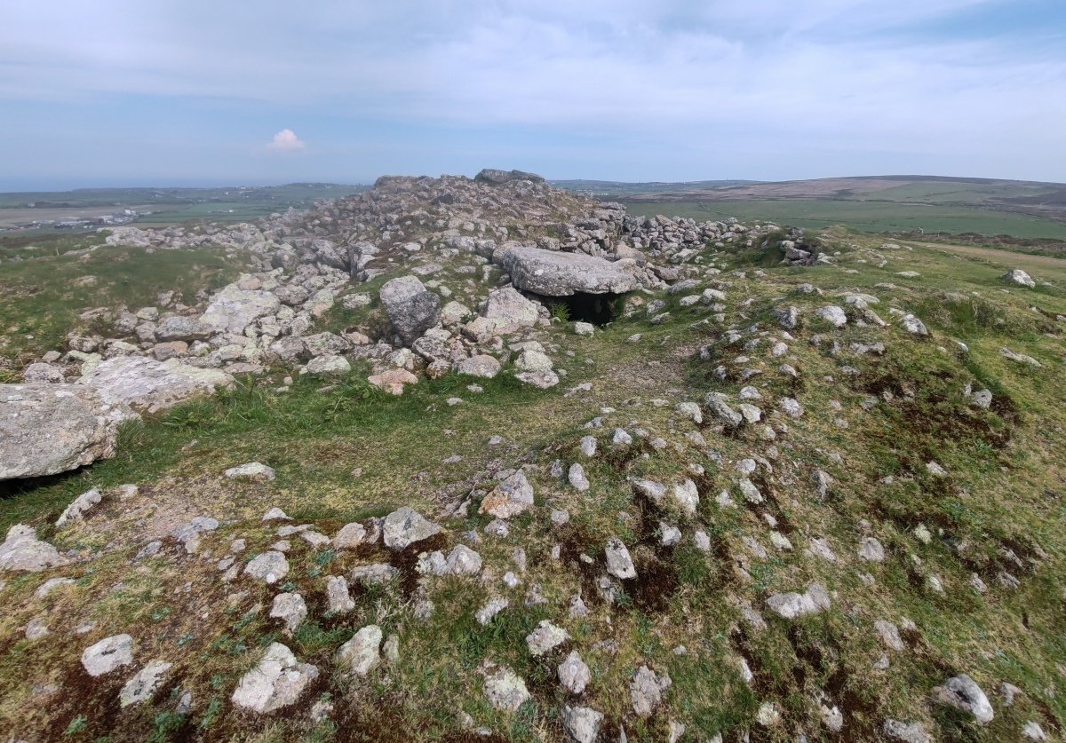
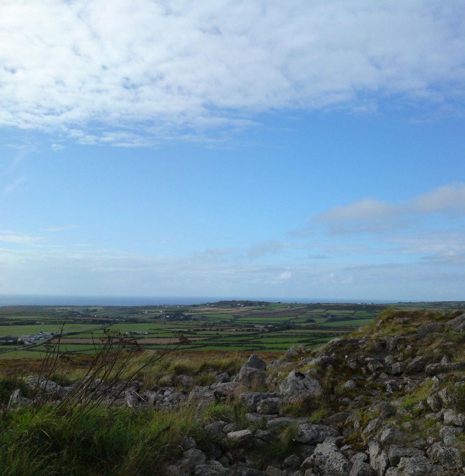
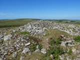
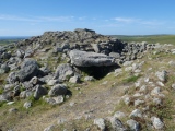
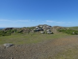
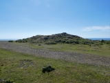
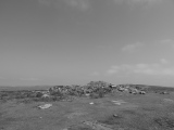
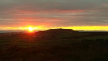
TheCaptain visited on 14th Jun 2022 - their rating: Cond: 3 Amb: 4 Access: 4 As it is such a lovely afternoon, I decided to climb Chapel Carn Brea hill with its cairns, and a fabulous view all the way around, the Isles of Scilly very clear out in the distance. The main hilltop cairn is very large, but very difficult to make anything out properly as it has been very mutilated. Could it once have been a bit like Carn Gloose, with a large internal cairn surrounded by a ring, with at least one chamber?
LiveAndrew visited on 22nd Apr 2021 - their rating: Cond: 2 Amb: 4 Access: 4 Currently cordoned off with an electric fence to keep the ponies out.
lucasn visited on 4th Nov 2017 - their rating: Cond: 4 Amb: 4 Access: 4
jeffrep visited on 14th May 2011 - their rating: Cond: 3 Amb: 4 Access: 3
Bladup cazzyjane have visited here
Average ratings for this site from all visit loggers: Condition: 2.8 Ambience: 3.8 Access: 3.8

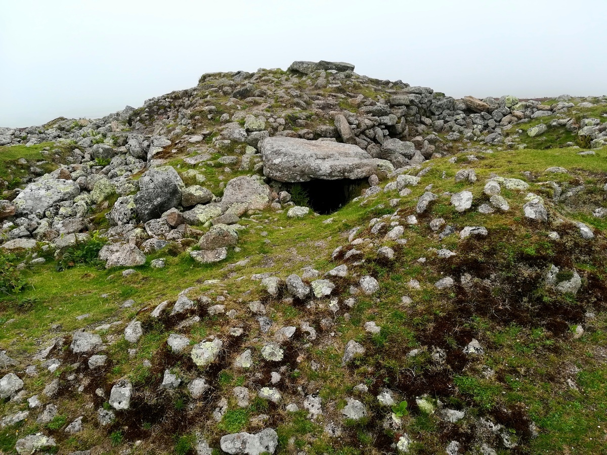
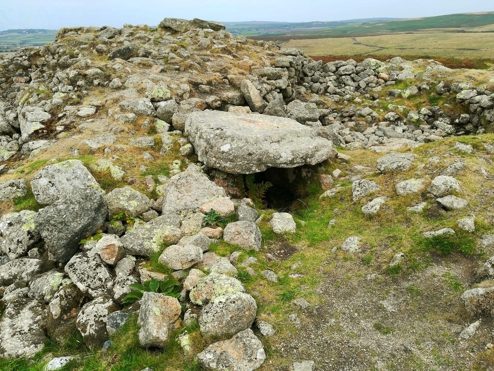
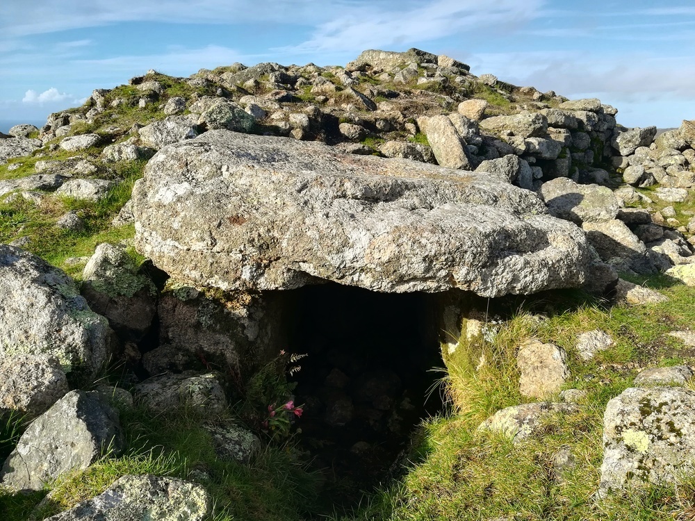
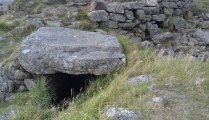
This was subsequently built on twice during the Bronze Age by the addition of a cist with a nearly 5 foot square capstone, and further mounds. This resulted in a massive cairn 15 feet high and 62 feet across having an outer kerb and 3 internal concentric retaining walls.
The cist and part of two of the inner retaining walls are exposed but it is not known whether the original entrance grave is still buried beneath the mound or if it has been destroyed.
[Update September 2022: Historic England only records one site at this grid reference, see Historic England List ID 1006751, 'An entrance grave re-used as a kerbed cairn with cist known as 'Chapel Carn Brea', whereas the Portal shows two sites in close proximity, 90 metres apart - the Chapel Carn Brea Long Cairn and this site, Chapel Carn Brea Tomb. To help resolve any queries, comments from recent visitors to this complex area include:
Bladup: "Chapel Carn Brea Tomb (A Chambered Cairn) is the massive Cairn on the summit of the hill, Chapel Carn Brea Long Cairn is 90-100m to the south of the Summit Chambered Cairn."
MikeAttwell adds: "The top of the hill is a plateau. At the north end is a large damaged round cairn. This was excavated in the 19th century and based on the surviving drawings and description has been considered to be an entrance grave. It is no longer visible and lies beneath the backfilled cairn material. If this is an entrance grave then this cairn is almost certainly early Bronze Age."]
Page originally by enkidu41
You may be viewing yesterday's version of this page. To see the most up to date information please register for a free account.






These are just the first 25 photos of Chapel Carn Brea Tomb. If you log in with a free user account you will be able to see our entire collection.
Do not use the above information on other web sites or publications without permission of the contributor.
Click here to see more info for this site
Nearby sites
Key: Red: member's photo, Blue: 3rd party photo, Yellow: other image, Green: no photo - please go there and take one, Grey: site destroyed
Download sites to:
KML (Google Earth)
GPX (GPS waypoints)
CSV (Garmin/Navman)
CSV (Excel)
To unlock full downloads you need to sign up as a Contributory Member. Otherwise downloads are limited to 50 sites.
Turn off the page maps and other distractions
Nearby sites listing. In the following links * = Image available
90m S 184° Chapel Carn Brea Long Cairn* Long Barrow (SW38572798)
100m NW 320° Chapel Carn Brea Cairns* Barrow Cemetery (SW38522815)
305m NNW 349° Carn Brea Hut circles and Tumulus* Round Barrow(s) (SW3853428372)
410m N 10° Chapel Carn Brea Stones* Standing Stone (Menhir) (SW38672847)
410m SSW 211° Kerrow chambered cairn* Chambered Cairn (SW38352773)
414m S 186° Chycandra Settlement* Ancient Village or Settlement (SW38522766)
457m WSW 257° Chapel Carn Brea Menhir* Standing Stone (Menhir) (SW3812927987)
747m NE 56° Tredinney Cairn* Cairn (SW39222846)
762m S 169° Treave Stonehenge* Modern Stone Circle etc (SW3869227316)
1.0km ESE 113° Crows-an-Wra Cross* Ancient Cross (SW39532762)
1.4km NE 52° Bartine boulder cairn* Cairn (SW39702885)
1.4km WSW 253° Tregiffian Vean* Chambered Tomb (SW37252773)
1.4km WSW 244° Trevedra Common Tumuli* Barrow Cemetery (SW37292752)
1.5km ESE 108° Trevorgans Cross* Ancient Cross (SW39982755)
1.5km NNE 31° Bartine Castle* Ancient Village or Settlement (SW39442933)
1.5km E 83° Brane Entrance Grave* Chambered Tomb (SW40132819)
1.6km NE 55° St Euny's Well Way Ancient Trackway (SW399289)
1.6km ENE 56° St Euny's Well (Carn Euny)* Holy Well or Sacred Spring (SW39972890)
1.6km E 90° Brane Longbarrow* Artificial Mound (SW402280)
1.7km NNW 336° Lower Numphra Tumulus* Round Barrow(s) (SW3796529644)
1.8km ENE 62° Chapel Euny Well 2* Holy Well or Sacred Spring (SW40212885)
1.8km ENE 63° Carn Euny Village* Ancient Village or Settlement (SW40242883)
1.8km ENE 61° Carn Euny Fogou* Souterrain (Fogou, Earth House) (SW40242887)
1.9km WNW 287° Nanquidno Downs Tumulus and Hut Circles* Round Barrow(s) (SW368287)
1.9km SE 141° The Carn (Boscarn)* Cairn (SW39722654)
View more nearby sites and additional images


 We would like to know more about this location. Please feel free to add a brief description and any relevant information in your own language.
 Wir möchten mehr über diese Stätte erfahren. Bitte zögern Sie nicht, eine kurze Beschreibung und relevante Informationen in Deutsch hinzuzufügen.
 Nous aimerions en savoir encore un peu sur les lieux. S'il vous plaît n'hesitez pas à ajouter une courte description et tous les renseignements pertinents dans votre propre langue.
 Quisieramos informarnos un poco más de las lugares. No dude en añadir una breve descripción y otros datos relevantes en su propio idioma.