<< Our Photo Pages >> Innisidgen Upper - Burial Chamber or Dolmen in England in Isles of Scilly
Submitted by Andy_Creigh on Tuesday, 17 September 2002 Page Views: 10407
Neolithic and Bronze AgeSite Name: Innisidgen UpperCountry: England County: Isles of Scilly Type: Burial Chamber or Dolmen
Nearest Village: St Mary's
Map Ref: SV92181265 Landranger Map Number: 203
Latitude: 49.934563N Longitude: 6.291219W
Condition:
| 5 | Perfect |
| 4 | Almost Perfect |
| 3 | Reasonable but with some damage |
| 2 | Ruined but still recognisable as an ancient site |
| 1 | Pretty much destroyed, possibly visible as crop marks |
| 0 | No data. |
| -1 | Completely destroyed |
| 5 | Superb |
| 4 | Good |
| 3 | Ordinary |
| 2 | Not Good |
| 1 | Awful |
| 0 | No data. |
| 5 | Can be driven to, probably with disabled access |
| 4 | Short walk on a footpath |
| 3 | Requiring a bit more of a walk |
| 2 | A long walk |
| 1 | In the middle of nowhere, a nightmare to find |
| 0 | No data. |
| 5 | co-ordinates taken by GPS or official recorded co-ordinates |
| 4 | co-ordinates scaled from a detailed map |
| 3 | co-ordinates scaled from a bad map |
| 2 | co-ordinates of the nearest village |
| 1 | co-ordinates of the nearest town |
| 0 | no data |
Internal Links:
External Links:
I have visited· I would like to visit
DrewParsons 43559959 coin CharcoalBurner89 would like to visit
celticmaiden55 visited on 1st Sep 2018 - their rating: Cond: 5 Amb: 5 Access: 3 Sheltered in it due to a rogue shower
lucasn visited on 1st Aug 2018 - their rating: Cond: 5 Amb: 4 Access: 2
TheCaptain visited on 8th Sep 1986 During a 2 week sailing trip with friends, I left the rest of the crew to sail L'Aurian from St Mary's all the way round the Western Rocks and in to New Grimsby harbour, Tresco for the night. I spent the day walking round the entire coast of St Mary's visiting many ancient sites, before catching a ferry over to Bryher in the evening and getting picked up by the crew.
Catrinm Bladup paulcall ocifant have visited here
Average ratings for this site from all visit loggers: Condition: 5 Ambience: 4.5 Access: 2.5
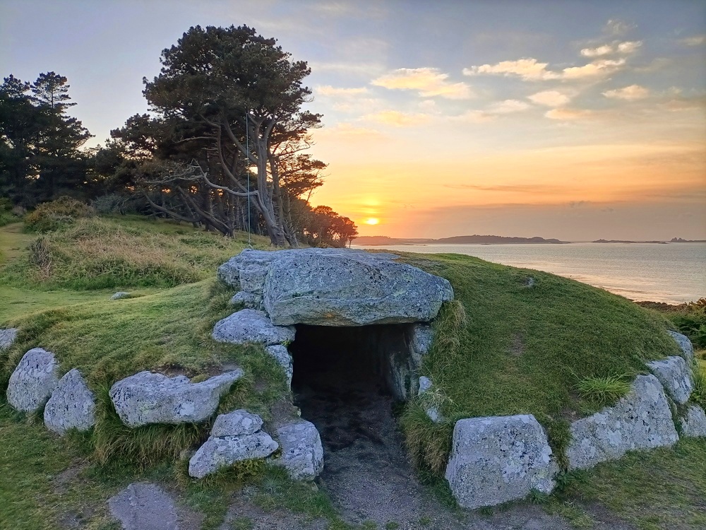
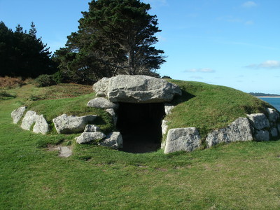
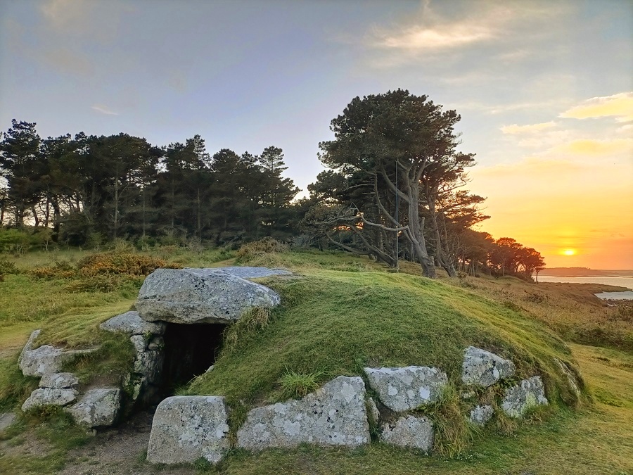
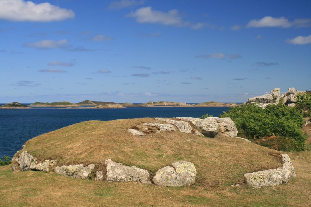
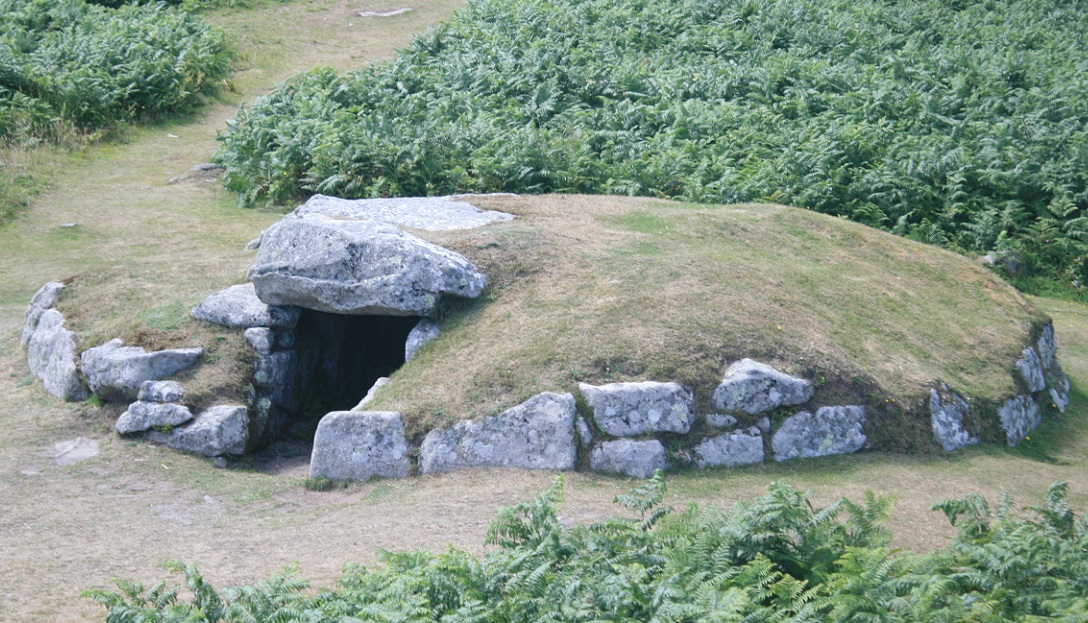
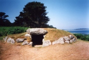
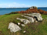
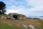
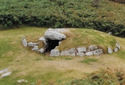
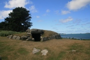
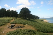
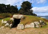
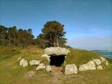
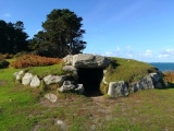
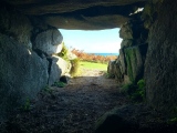
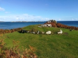
Overlooking the Crow sound towards the Eastern Isles and the ruined village on Nornour, this well preserved Scillonian entrance grave is in a superb setting. The substantial mound is reverted on all sides by a kerb of large stones. The walls of the inner chamber are of slabs and course stone and it has a total of 5 capstones.
The entrance aligns south easterly (120?).
Access - Any reasonable time.
Location - 1.75m NE of Hugh Town
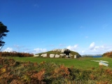
I first visited this site three years ago, on my first holiday with my fiancé. It was that trip that sparked my interest in this type of site. Today it still retains that initial magic. We approached the site from the southeast along the cliff path, with the site visible for quite a while before we reached it.
It truly is a wonderful place. The wind blows through the trees creating an eerie hush, only broken by the sound of waves lapping the shore to my left. The views across the Crow sound are fabulous and although it would have looked much different 3000 years ago, it is easy to see while the ancients would choose here as their last resting place.
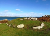
On this visit my attention has really been drawn to a rock out crop to the East over looking the sea. This appears to have a small cleft down the middle which aligns directly east. Perhaps it was used for the funeral pior or to lay the bodies of the dead out so the skin could be cleaned by seabirds in preparation for cremation. This is pure speculation however it seems too prominent in the landscape to be coincidence.
You may be viewing yesterday's version of this page. To see the most up to date information please register for a free account.


These are just the first 25 photos of Innisidgen Upper. If you log in with a free user account you will be able to see our entire collection.
Do not use the above information on other web sites or publications without permission of the contributor.
Click here to see more info for this site
Nearby sites
Key: Red: member's photo, Blue: 3rd party photo, Yellow: other image, Green: no photo - please go there and take one, Grey: site destroyed
Download sites to:
KML (Google Earth)
GPX (GPS waypoints)
CSV (Garmin/Navman)
CSV (Excel)
To unlock full downloads you need to sign up as a Contributory Member. Otherwise downloads are limited to 50 sites.
Turn off the page maps and other distractions
Nearby sites listing. In the following links * = Image available
94m WNW 299° Innisidgen Hill Misc. Earthwork (SV921127)
99m NW 312° Innisidgen Lower* Burial Chamber or Dolmen (SV92111272)
246m W 268° Helvear Down* Cairn (SV9193312655)
350m S 173° Helvear Farm Cairn (SV922123)
369m SSE 158° Helvear Hill* Chambered Cairn (SV923123)
407m WNW 288° Little Porth Ancient Village or Settlement (SV918128)
674m W 280° Porthloo Barrow Round Barrow(s) (SV91521280)
676m W 276° Porthloo Bronze Age Cairn Cairn (SV91511276)
690m SE 139° Toll's Hill (2) Misc. Earthwork (SV926121)
722m WNW 287° Bar Point Ancient Village or Settlement (SV915129)
779m W 270° Pendrathen beach Ancient Village or Settlement (SV914127)
816m ESE 111° NOT SET
851m SE 131° Toll's Hill (1)* Ancient Village or Settlement (SV9278812052)
854m WSW 250° The Long Rock* Standing Stone (Menhir) (SV91361240)
966m S 187° Maypole Chambered Tomb (SV920117)
1.1km SSW 211° Town Lane (St Mary's) Cist (SV91571175)
1.1km W 261° Halangy Menhir* Standing Stone (Menhir) (SV91091254)
1.1km SE 129° Toll's Island* Misc. Earthwork (SV930119)
1.2km W 267° Halangy Point Carn Cairn (SV90981266)
1.2km WSW 254° Halangy Down* Ancient Village or Settlement (SV90981237)
1.2km WSW 250° Bant's Carn* Burial Chamber or Dolmen (SV90991230)
1.2km SSW 196° Holy Vale Longstone* Standing Stone (Menhir) (SV91771147)
1.3km WSW 255° Halangy Lower* Chambered Cairn (SV90951240)
1.3km SSE 146° Mount Todden Cairn* Chambered Cairn (SV9286011490)
1.3km SE 141° Mount Todden* Modern Stone Circle etc (SV9297011553)
View more nearby sites and additional images


 We would like to know more about this location. Please feel free to add a brief description and any relevant information in your own language.
 Wir möchten mehr über diese Stätte erfahren. Bitte zögern Sie nicht, eine kurze Beschreibung und relevante Informationen in Deutsch hinzuzufügen.
 Nous aimerions en savoir encore un peu sur les lieux. S'il vous plaît n'hesitez pas à ajouter une courte description et tous les renseignements pertinents dans votre propre langue.
 Quisieramos informarnos un poco más de las lugares. No dude en añadir una breve descripción y otros datos relevantes en su propio idioma.