<< Our Photo Pages >> Cahokia - Monk's Mound - Pyramid / Mastaba in United States in Great Lakes Midwest
Submitted by bat400 on Sunday, 25 September 2011 Page Views: 11285
Multi-periodSite Name: Cahokia - Monk's MoundCountry: United States Region: Great Lakes Midwest Type: Pyramid / Mastaba
Nearest Town: East St. Louis Nearest Village: Collinsville, IL
Latitude: 38.660500N Longitude: 90.0623W
Condition:
| 5 | Perfect |
| 4 | Almost Perfect |
| 3 | Reasonable but with some damage |
| 2 | Ruined but still recognisable as an ancient site |
| 1 | Pretty much destroyed, possibly visible as crop marks |
| 0 | No data. |
| -1 | Completely destroyed |
| 5 | Superb |
| 4 | Good |
| 3 | Ordinary |
| 2 | Not Good |
| 1 | Awful |
| 0 | No data. |
| 5 | Can be driven to, probably with disabled access |
| 4 | Short walk on a footpath |
| 3 | Requiring a bit more of a walk |
| 2 | A long walk |
| 1 | In the middle of nowhere, a nightmare to find |
| 0 | No data. |
| 5 | co-ordinates taken by GPS or official recorded co-ordinates |
| 4 | co-ordinates scaled from a detailed map |
| 3 | co-ordinates scaled from a bad map |
| 2 | co-ordinates of the nearest village |
| 1 | co-ordinates of the nearest town |
| 0 | no data |
Internal Links:
External Links:
I have visited· I would like to visit
bat400 visited on 10th Jul 2007 - their rating: Cond: 3 Amb: 4 Access: 3
davidmorgan MelissaBWrite have visited here
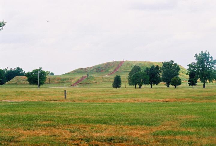
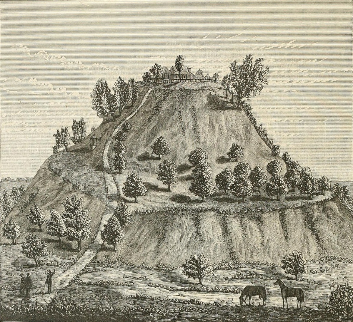
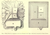
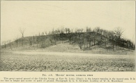
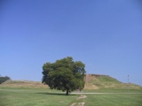
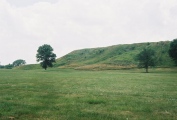
The largest structure in the Cahokia Mound group is "Monk's Mound" a pyramidal earthwork with multiple flat terraces. Two terraces are thought to have had wooden buildings. The base of the structure is larger than the base of the Great pyramid of Giza.
There are four separate terraces. The lowest, largest level appears to have had a small building in the south west corner. (Interestingly, the slight mounded elevation seen in this corner would have aligned with equinox sunrise from the Woodhenge structure.
The mound was thought to have been built entirely of earth, but In 1998 an excavation (drilling) at Monk's Mound hit rock. The original St. Louis Post Dispatch news article speculated a smaller stone pyramid buried within the body of the earthen mound. Later excavation and survey revealed no such structure, but did show that rock and gravel had been used during building, possibly to stablize the steeply inclined surface.
The name comes from French Trappists who built a chapel in the area and planted fruit trees on the terraces of Monk's Mound. (This mound does not seem to have been the site of their chapel.)
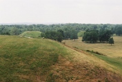
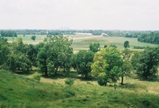
You can climb to the top of Monk's Mound for a view of the site and the skyline of the modern metropolis of St. Louis, across the Mississippi River.
You may be viewing yesterday's version of this page. To see the most up to date information please register for a free account.




Do not use the above information on other web sites or publications without permission of the contributor.
Click here to see more info for this site
Nearby sites
Click here to view sites on an interactive map of the areaKey: Red: member's photo, Blue: 3rd party photo, Yellow: other image, Green: no photo - please go there and take one, Grey: site destroyed
Download sites to:
KML (Google Earth)
GPX (GPS waypoints)
CSV (Garmin/Navman)
CSV (Excel)
To unlock full downloads you need to sign up as a Contributory Member. Otherwise downloads are limited to 50 sites.
Turn off the page maps and other distractions
Nearby sites listing. In the following links * = Image available
236m E 90° Cahokia - Mound 36 Artificial Mound
323m ENE 70° Cahokia - Stockade* Misc. Earthwork
388m SE 126° Cahokia* Ancient Village or Settlement
411m SW 224° Cahokia - Mound 48 Artificial Mound
442m NNE 32° Cahokia - Mound 5.* Artificial Mound
474m ENE 78° Cahokia - Ramey Group* Ancient Village or Settlement
516m SSE 156° Cahokia - Mound 55* Artificial Mound
535m ESE 103° Cahokia - Mounds 30 and 31 Artificial Mound
561m W 264° Cahokia - Mound 42* Artificial Mound
676m SSE 157° Cahokia - Museum* Museum
682m S 185° Cahokia - Mound 60* Artificial Mound
699m SSW 195° Cahokia - Mound 59* Artificial Mound
967m W 267° Cahokia - Mound 44* Artificial Mound
1.0km N 354° Cahokia - Kunnemann Group* Ancient Temple
1.0km S 187° Cahokia - Mound 72* Artificial Mound
1.1km W 267° Cahokia - Woodhenge* Timber Circle
1.8km S 183° Cahokia - Mound 66 Artificial Mound
2.4km W 272° Cahokia - Powell Mound Artificial Mound
2.5km WSW 259° Fingerhut tract* Ancient Village or Settlement
4.9km N 353° Horseshoe Lake Mound* Artificial Mound
5.0km WSW 248° Sam Chucalo Mound* Artificial Mound
8.1km WSW 255° East Saint Louis Mound Center* Ancient Village or Settlement
10.9km W 260° Big Mound (St Louis)* Artificial Mound
17.5km WSW 237° Sugarloaf Mound, Missouri* Artificial Mound
24.4km E 98° Emerald Mound, Illinois* Artificial Mound
View more nearby sites and additional images





 We would like to know more about this location. Please feel free to add a brief description and any relevant information in your own language.
 Wir möchten mehr über diese Stätte erfahren. Bitte zögern Sie nicht, eine kurze Beschreibung und relevante Informationen in Deutsch hinzuzufügen.
 Nous aimerions en savoir encore un peu sur les lieux. S'il vous plaît n'hesitez pas à ajouter une courte description et tous les renseignements pertinents dans votre propre langue.
 Quisieramos informarnos un poco más de las lugares. No dude en añadir una breve descripción y otros datos relevantes en su propio idioma.