<< Our Photo Pages >> Falkner's Circle - Stone Circle in England in Wiltshire
Submitted by Andy B on Thursday, 11 March 2004 Page Views: 21299
Neolithic and Bronze AgeSite Name: Falkner's CircleCountry: England County: Wiltshire Type: Stone Circle
Nearest Town: Marlborough Nearest Village: Avebury
Map Ref: SU10986931 Landranger Map Number: 173
Latitude: 51.422697N Longitude: 1.843477W
Condition:
| 5 | Perfect |
| 4 | Almost Perfect |
| 3 | Reasonable but with some damage |
| 2 | Ruined but still recognisable as an ancient site |
| 1 | Pretty much destroyed, possibly visible as crop marks |
| 0 | No data. |
| -1 | Completely destroyed |
| 5 | Superb |
| 4 | Good |
| 3 | Ordinary |
| 2 | Not Good |
| 1 | Awful |
| 0 | No data. |
| 5 | Can be driven to, probably with disabled access |
| 4 | Short walk on a footpath |
| 3 | Requiring a bit more of a walk |
| 2 | A long walk |
| 1 | In the middle of nowhere, a nightmare to find |
| 0 | No data. |
| 5 | co-ordinates taken by GPS or official recorded co-ordinates |
| 4 | co-ordinates scaled from a detailed map |
| 3 | co-ordinates scaled from a bad map |
| 2 | co-ordinates of the nearest village |
| 1 | co-ordinates of the nearest town |
| 0 | no data |
Internal Links:
External Links:
I have visited· I would like to visit
rvbaker2003 visited on 10th Nov 2024 - their rating: Cond: 2 Amb: 2 Access: 4
TheCaptain saw from a distance on 25th Sep 2020 Climbing over Waden Hill before walking up the avenue back to Avebury, got a good view of the site of Falkners Circle with its singular stone glowing in the afternoon sun.
elad13 visited on 16th Mar 2019 - their rating: Cond: 2 Amb: 4 Access: 3
NickyD visited on 7th Dec 2015 - their rating: Cond: 2 Amb: 3 Access: 4
graemefield visited on 27th Jun 2011 - their rating: Cond: 2 Amb: 3 Access: 4
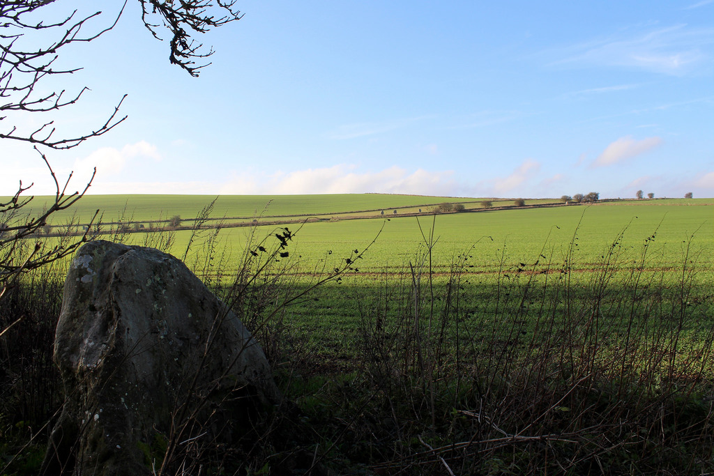
Phillwhite visited on 9th Nov 1999 - their rating: Cond: 2 Amb: 3 Access: 4 Easy to find if you know where it is! Drive or walk out of Avebury along the Avenue and stop at the free parking where the stones end. One the other side of the road is a hedge with access to the field. Walk down the hedge to almost the bottom order nd the stone is n the hedgerow.
TheCaptain visited on 4th Oct 1998 Visit lots of ancient sites on a long off road cycle tour from Avebury to Windmill Hill, along the Wansdyke and back up Kennet Avenue
mdensham have visited here
Average ratings for this site from all visit loggers: Condition: 2 Ambience: 3 Access: 3.8

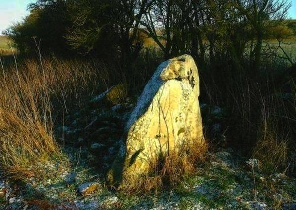
It is named after a Mr.Falkner who was an antiquary from Devizes.
From Historic England
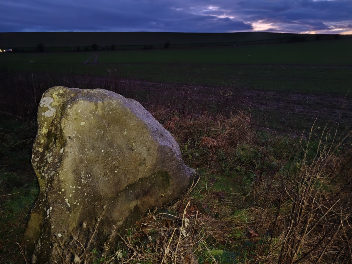
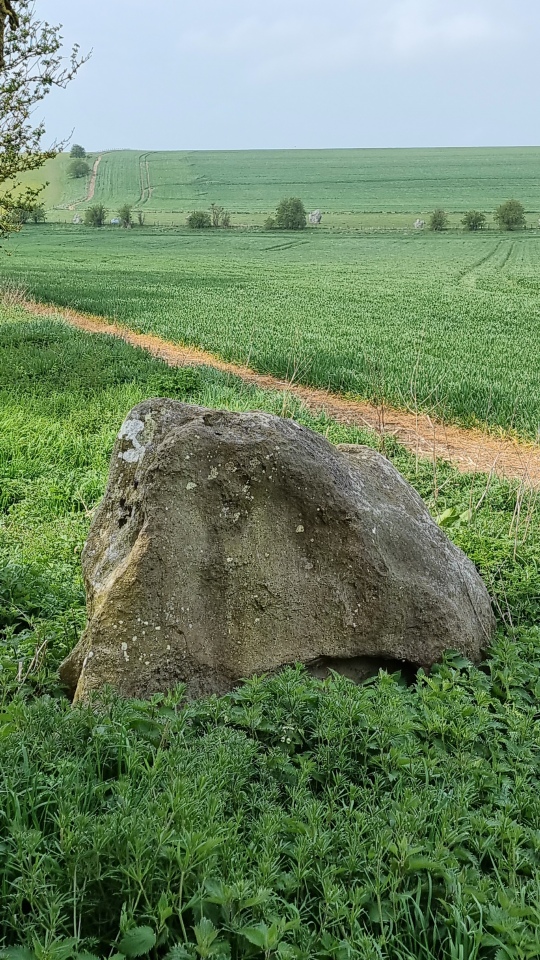
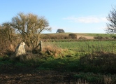
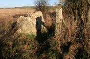
The monument was described by Falkner in 1840 and there is also a plan drawn by W Long which shows that this stone was originally part of a circle of at least 12 stones with a diameter of c.37m. Falkner lists, in addition to the surviving stone, two recumbent stones and nine holes from which stones had been extracted.
Excavations in 2002 by Drs Josh Pollard and Mark Gillings, of Beckhampton Avenue fame, seem to confirm that the feature was indeed a circle.
Curiously this component of the Avebury complex was overlooked by both John Aubrey and William Stukeley.
You may be viewing yesterday's version of this page. To see the most up to date information please register for a free account.





Do not use the above information on other web sites or publications without permission of the contributor.
Click here to see more info for this site
Nearby sites
Key: Red: member's photo, Blue: 3rd party photo, Yellow: other image, Green: no photo - please go there and take one, Grey: site destroyed
Download sites to:
KML (Google Earth)
GPX (GPS waypoints)
CSV (Garmin/Navman)
CSV (Excel)
To unlock full downloads you need to sign up as a Contributory Member. Otherwise downloads are limited to 50 sites.
Turn off the page maps and other distractions
Nearby sites listing. In the following links * = Image available
291m W 264° West Kennet Avenue* Multiple Stone Rows / Avenue (SU10696928)
439m WNW 291° West Kennet Avenue polisher* Polissoir (SU10576947)
867m SE 142° Overton Hill barrow cemetery* Barrow Cemetery (SU11526863)
968m NW 312° Avebury* Stone Circle (SU10266996)
1.0km NW 314° Avebury - The Cove* Standing Stones (SU10257002)
1.0km SSW 200° Silbaby* Misc. Earthwork (SU1062668354)
1.1km WNW 297° Alexander Keiller Museum* Museum (SU100698)
1.1km S 179° West Kennet Palisaded Enclosures* Ancient Village or Settlement (SU110682)
1.2km NE 50° Avebury Down barrow cemetery* Barrow Cemetery (SU11877007)
1.2km WNW 303° St. James's Church (Avebury) Ancient Cross (SU0997669968)
1.2km SW 231° Silbury Hill* Artificial Mound (SU10016853)
1.5km SW 216° Swallowhead Spring* Holy Well or Sacred Spring (SU101681)
1.5km SE 140° The Sanctuary Barrows* Barrow Cemetery (SU11966816)
1.5km SSE 147° The Sanctuary.* Stone Circle (SU11836802)
1.6km SSW 207° West Kennet Barrow* Round Barrow(s) (SU10246788)
1.6km SSE 148° Bowl Barrow South of the Sanctuary* Barrow Cemetery (SU11836794)
1.6km SE 146° Bowl Barrow SE of the Sanctuary Barrow Cemetery (SU11896797)
1.6km N 2° Avebury Down Bell Barrow* Barrow Cemetery (SU11047094)
1.6km SSW 197° West Kennett Long Barrow* Long Barrow (SU10506774)
1.7km N 9° Avebury Downs Barn Tumuli* Barrow Cemetery (SU1125170971)
1.7km SSE 162° Stone pair between Kennetts* Natural Stone / Erratic / Other Natural Feature (SU115677)
1.7km N 355° Avebury Down Earthwork Misc. Earthwork (SU10837102)
2.0km W 269° South Street Long Barrow* Chambered Tomb (SU09006927)
2.0km E 85° Down Barn* Standing Stones (SU12966949)
2.0km NNE 13° Avebury Down Stone Circle* Stone Circle (SU11437127)
View more nearby sites and additional images


 We would like to know more about this location. Please feel free to add a brief description and any relevant information in your own language.
 Wir möchten mehr über diese Stätte erfahren. Bitte zögern Sie nicht, eine kurze Beschreibung und relevante Informationen in Deutsch hinzuzufügen.
 Nous aimerions en savoir encore un peu sur les lieux. S'il vous plaît n'hesitez pas à ajouter une courte description et tous les renseignements pertinents dans votre propre langue.
 Quisieramos informarnos un poco más de las lugares. No dude en añadir una breve descripción y otros datos relevantes en su propio idioma.