<< Our Photo Pages >> Dunning - Standing Stone (Menhir) in Scotland in Perth and Kinross
Submitted by Nick on Tuesday, 05 November 2002 Page Views: 9991
Neolithic and Bronze AgeSite Name: Dunning Alternative Name: Dunning NorthCountry: Scotland County: Perth and Kinross Type: Standing Stone (Menhir)
Nearest Town: Auchterarder Nearest Village: Dunning
Map Ref: NO01851469 Landranger Map Number: 58
Latitude: 56.314414N Longitude: 3.588259W
Condition:
| 5 | Perfect |
| 4 | Almost Perfect |
| 3 | Reasonable but with some damage |
| 2 | Ruined but still recognisable as an ancient site |
| 1 | Pretty much destroyed, possibly visible as crop marks |
| 0 | No data. |
| -1 | Completely destroyed |
| 5 | Superb |
| 4 | Good |
| 3 | Ordinary |
| 2 | Not Good |
| 1 | Awful |
| 0 | No data. |
| 5 | Can be driven to, probably with disabled access |
| 4 | Short walk on a footpath |
| 3 | Requiring a bit more of a walk |
| 2 | A long walk |
| 1 | In the middle of nowhere, a nightmare to find |
| 0 | No data. |
| 5 | co-ordinates taken by GPS or official recorded co-ordinates |
| 4 | co-ordinates scaled from a detailed map |
| 3 | co-ordinates scaled from a bad map |
| 2 | co-ordinates of the nearest village |
| 1 | co-ordinates of the nearest town |
| 0 | no data |
Internal Links:
External Links:
I have visited· I would like to visit
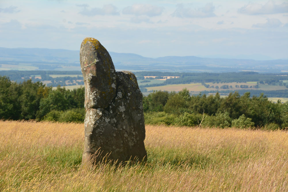
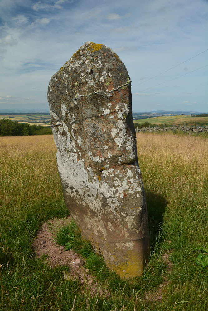
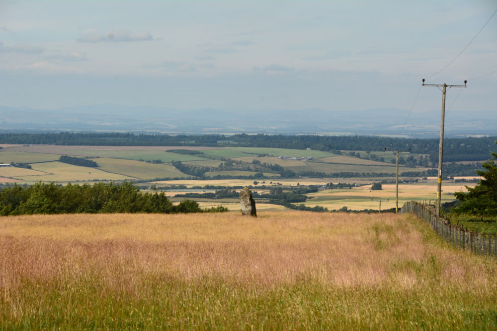
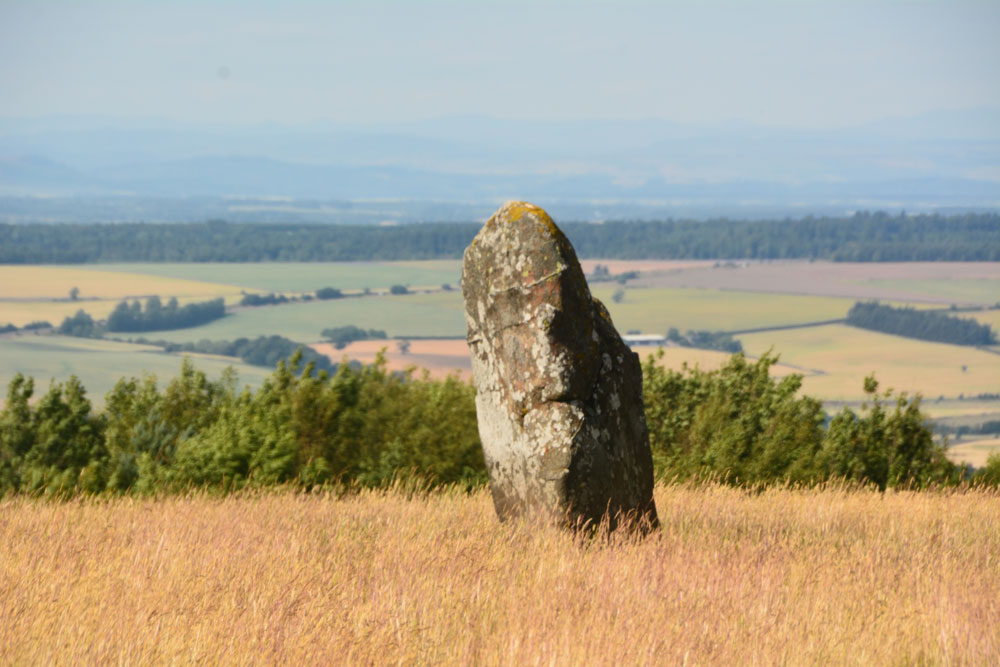
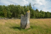
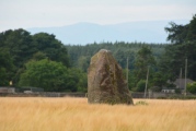
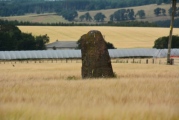
Anne T saw from a distance on 14th Jul 2018 - their rating: Cond: 3 Amb: 3 Access: 4 Dunning North Standing Stone: From St Serf’s church, we walked along Kirk Wynd, down alongside the stream, down past some cottages, to where the footpath split. The standing stone was right in front of us, albeit in the middle of a ripening crop of wheat. It seemed very far away, and I was very, very reluctant to trample any of the crop, so we stuck to the footpath. With the camera lens on maximum zoom I tried to capture the different faces of the stone, but as the footpath ran roughly west-east, we couldn’t really get close.
The guide in the church told us there were two standing stones nearby; most people visited the northern (this) stone, but apparently not many people went to the southern stone.
If the field hadn’t been set with a crop, I’d have been tempted to look for the gate, or an alternate route to get closer.
Our next stop was to the very peculiar "Maggie Wall Monument", 1km west of Dunning on the B8062. This is a 20ft tall monument topped by a cross to a witch called Maggie Wall who was apparently burnt in 1657. The stories I've all tracked down say Maggie Wall didn't exist. This monument definitely made me shiver!
hamish have visited here

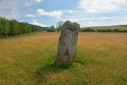
In the Perthshire village of Dunning, where the Dupplin Cross is housed in the local kirk, this stone stands just down the lane from the church a short distance into a field. There was a very limited area round about it, and several signs of damage in the form of scrapes and traces of orange paint show that the farmer here does not care for this megalith the way we would hope for. No distinguishable features apart from the damage. This is the stone looking east.
For more information, see Canmore ID 26715, which says this stone was identified in the OS Name Book of 1859, stands 7ft high, and is "the reputed burial place on Doncha, Abbot of Dunkeld, killed in AD 964 at the Battle of Duncrub". It lies 300m SE of Leadketty Holdings. The later entry in the Canmore record tells us the stone is 1.9m high by 1.0m x 0.8m wide.
You may be viewing yesterday's version of this page. To see the most up to date information please register for a free account.




Do not use the above information on other web sites or publications without permission of the contributor.
Click here to see more info for this site
Nearby sites
Key: Red: member's photo, Blue: 3rd party photo, Yellow: other image, Green: no photo - please go there and take one, Grey: site destroyed
Download sites to:
KML (Google Earth)
GPX (GPS waypoints)
CSV (Garmin/Navman)
CSV (Excel)
To unlock full downloads you need to sign up as a Contributory Member. Otherwise downloads are limited to 50 sites.
Turn off the page maps and other distractions
Nearby sites listing. In the following links * = Image available
216m SSE 165° Dupplin Cross* Ancient Cross (NO01901448)
590m SE 128° Dun Knock (Dunning)* Hillfort (NO0230914317)
1.1km N 2° Leadketty Stone Circle (NO01921581)
1.5km N 4° Leadketty Stone Circle (NO020162)
2.9km S 172° Gray Stone (Dunning)* Standing Stone (Menhir) (NO02191180)
3.6km W 265° Westerton Timber Hall Ancient Village or Settlement (NN9821414444)
4.1km NE 56° Forteviot Timber Circle (NO053169)
4.4km NE 49° St Andrew's Church (Forteviot) Class III Pictish Cross Slab (NO052175)
4.4km NE 48° Forteviot Cross* Sculptured Stone (NO0518017527)
4.5km WNW 292° Haugh Of Aberuthven* Standing Stone (Menhir) (NN97711643)
4.6km WNW 283° Loanhead (Aberuthven) Stone Circle (NN974158)
4.6km NE 51° Forteviot Dagger Burial* Cist (NO055175)
5.9km SW 235° Ogle Hill Hillfort (NN96941148)
6.5km WNW 300° Trinity Well (Trinity Gask) Holy Well or Sacred Spring (NN96311812)
6.9km W 260° St Mackessog’s Well* Holy Well or Sacred Spring (NN950137)
7.9km SSW 194° Borland Glen* Stone Circle (NN9976607093)
8.7km W 274° Belted Stane, Calfward Standing Stone (Menhir) (NN93181548)
9.2km W 279° North Mains A Timber Circle (NN928163)
9.2km W 279° North Mains B Timber Circle (NN928164)
9.2km WSW 255° Auchterarder* Standing Stones (NN929125)
9.3km W 278° North Mains Strathallan round barrow* Round Barrow(s) (NN92621621)
9.5km N 351° Bachilton Stone Circle (NO005241)
9.7km ESE 111° Abbots Deuglie Stone Circle (NO109110)
9.8km NE 52° Callarfountain* Standing Stone (Menhir) (NO09752058)
9.9km ESE 115° West Blair Standing Stone (Menhir) (NO108103)
View more nearby sites and additional images


 We would like to know more about this location. Please feel free to add a brief description and any relevant information in your own language.
 Wir möchten mehr über diese Stätte erfahren. Bitte zögern Sie nicht, eine kurze Beschreibung und relevante Informationen in Deutsch hinzuzufügen.
 Nous aimerions en savoir encore un peu sur les lieux. S'il vous plaît n'hesitez pas à ajouter une courte description et tous les renseignements pertinents dans votre propre langue.
 Quisieramos informarnos un poco más de las lugares. No dude en añadir una breve descripción y otros datos relevantes en su propio idioma.