<< Our Photo Pages >> Hembury Castle - Hillfort in England in Devon
Submitted by AngieLake on Wednesday, 05 April 2023 Page Views: 13136
Iron Age and Later PrehistorySite Name: Hembury CastleCountry: England County: Devon Type: Hillfort
Nearest Town: Buckfastleigh
Map Ref: SX7263868449
Latitude: 50.501951N Longitude: 3.797262W
Condition:
| 5 | Perfect |
| 4 | Almost Perfect |
| 3 | Reasonable but with some damage |
| 2 | Ruined but still recognisable as an ancient site |
| 1 | Pretty much destroyed, possibly visible as crop marks |
| 0 | No data. |
| -1 | Completely destroyed |
| 5 | Superb |
| 4 | Good |
| 3 | Ordinary |
| 2 | Not Good |
| 1 | Awful |
| 0 | No data. |
| 5 | Can be driven to, probably with disabled access |
| 4 | Short walk on a footpath |
| 3 | Requiring a bit more of a walk |
| 2 | A long walk |
| 1 | In the middle of nowhere, a nightmare to find |
| 0 | No data. |
| 5 | co-ordinates taken by GPS or official recorded co-ordinates |
| 4 | co-ordinates scaled from a detailed map |
| 3 | co-ordinates scaled from a bad map |
| 2 | co-ordinates of the nearest village |
| 1 | co-ordinates of the nearest town |
| 0 | no data |
Internal Links:
External Links:
I have visited· I would like to visit
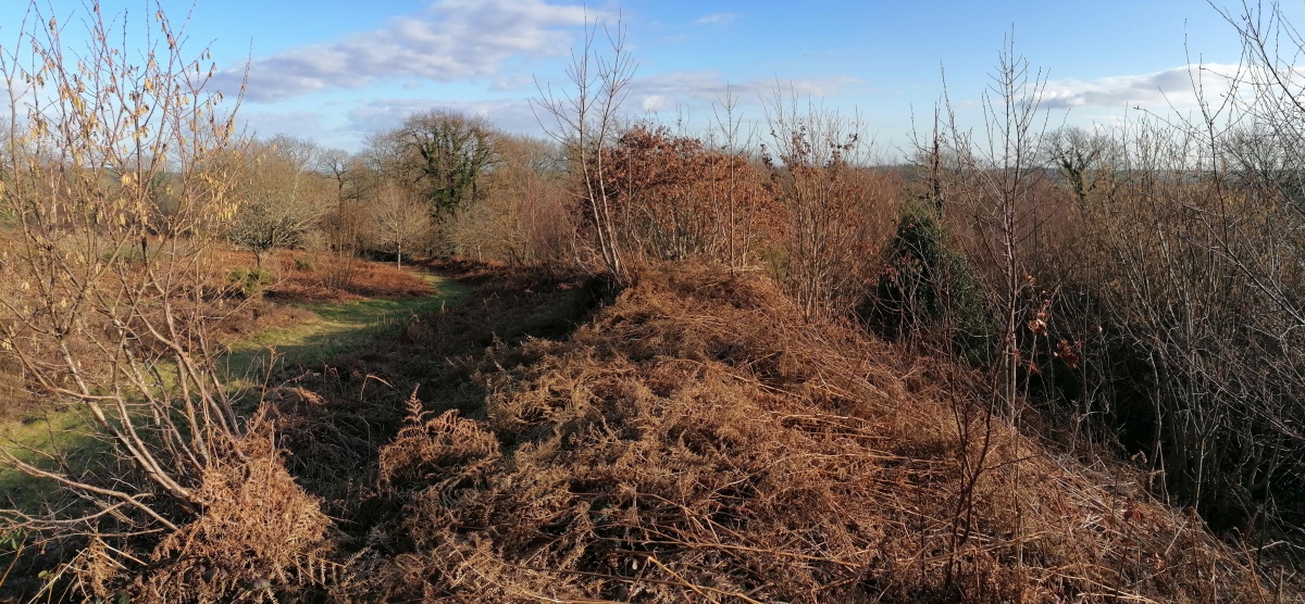
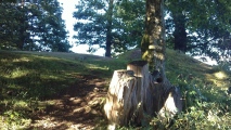
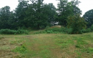
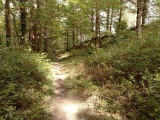
TheCaptain visited on 26th Feb 2023 - their rating: Cond: 4 Amb: 4 Access: 4 A nice sunny afternoon, after Sunday lunch at Scorriton and a walk out to Bench Tor, I decide to go and have a look at Hembury Castle before heading home. What a lovely place, old woodland with a hilltop iron age fort, modified and updated with a Norman Motte. In places the ramparts are huge, presumably increased for the Motte & Bailey castle. Lovely.
lauraaurora visited on 29th Oct 2021 - their rating: Amb: 4 Access: 4
sophiewilder visited on 1st Jan 2005 - their rating: Cond: 3 Amb: 4 Access: 4
Catrinm visited - their rating: Cond: 3 Amb: 4 Access: 4
Average ratings for this site from all visit loggers: Condition: 3.33 Ambience: 4 Access: 4
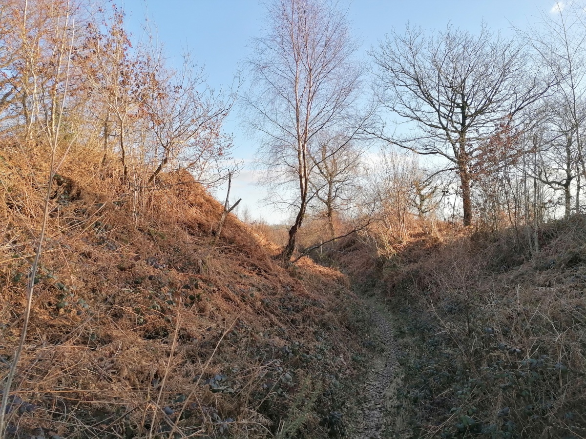
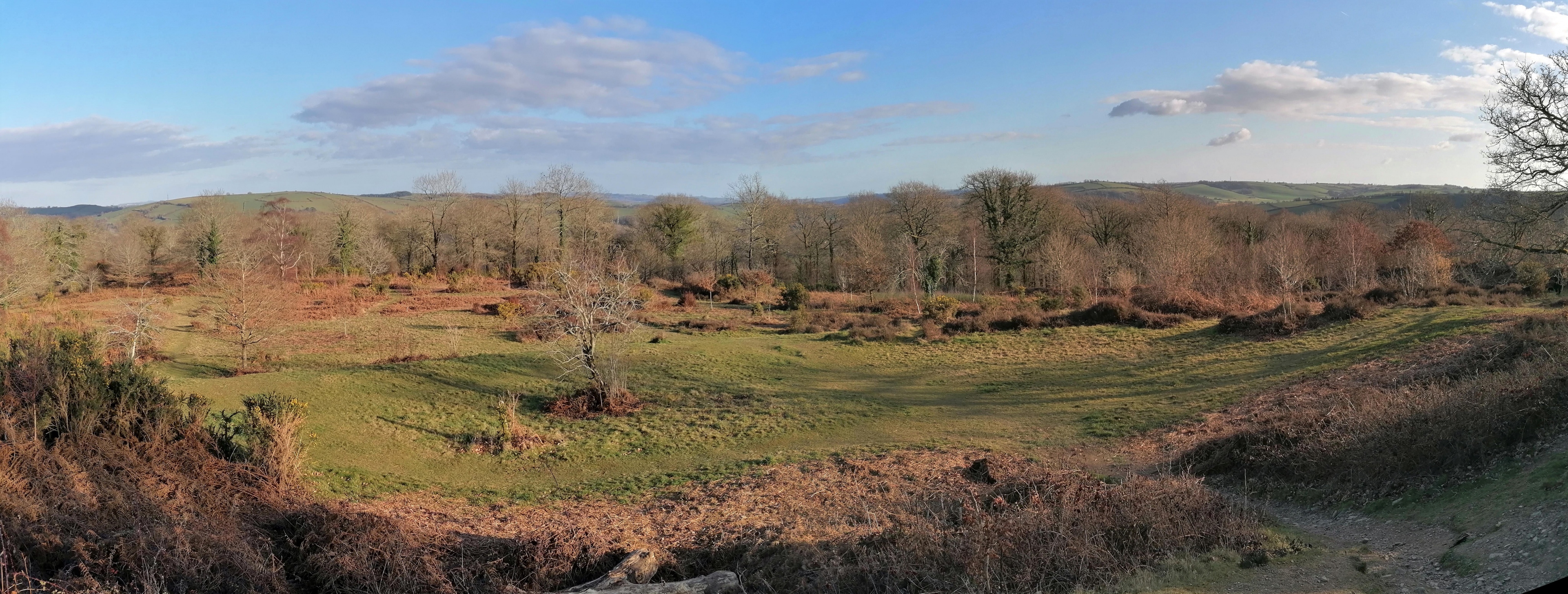
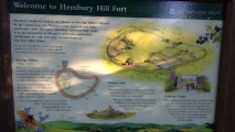
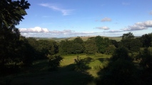
The hillfort lies in Hembury Woods near Buckfastleigh on the southern fringes of Dartmoor. Its position is 600 ft above sea level at the south-east end of a ridge, with the land dropping sharply on all other sides. In prehistoric times it would have commanded wide views across the South Devon countryside.
Denbury Camp lies 9 km to the east.
The siting of Hembury Castle on the fringes of Dartmoor raises the idea that, in prehistoric times, it might have been a base for the storing and trading of minerals, especially tin. Its proximity to the River Dart, wihch would have given a water-borne connection to the south coast, adds support to this suggestion.
We know that the South-West peninsula had overseas trading links in prehistoric times. Two Greek coins dating to the 4th and 1st centuries BC and found near Holne hint at the possibilities of such trading. A hoard of prehistoric iron currency bars has also been found in Holne Chase.
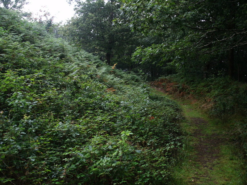
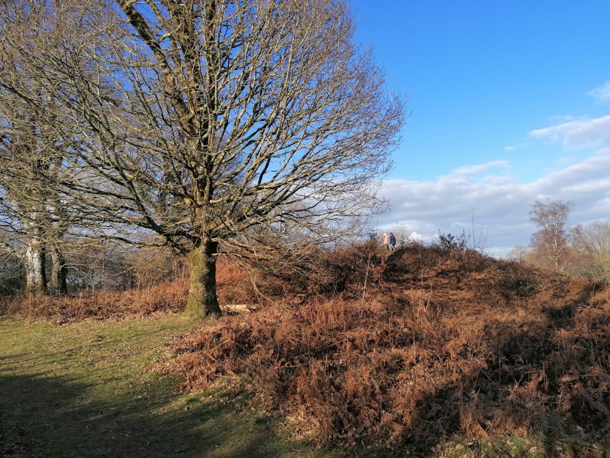
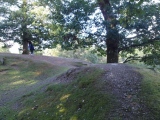
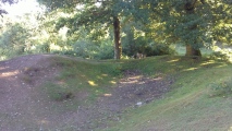
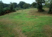
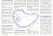
The defences of Hembury Castle enclose an area of some 17 hectares (7 acres) with a maximum internal dimension of 300 metres. These defences consist of an inner rampart surrounded by a ditch, on the outer edge of which is a second rampart. The surviving height of the ramparts [remember this was in 1999] gives an impression of their original size, bearing in mind that they will have slumped back into the ditch over the last 2000 years.
[Up until 1999] there has been no archaeological excavation at Hembury and the construction details of the ramparts are therefore not known. It is likely that they would have had an earthen core possibly faced in places with stone rubble. A timber palisade would have been built along the top of the inner rampart to give added protection. (The stone wall which runs along the inside of much of the rampart today [1999] is a more modern feature.)
Though there are several modern gaps through the ramparts, Hembury seems to have had a single entranceway which can still be seen on the south-east side. This gave access down to the River Dart, emphasising the potential importance of the river to the hillfort.
The interior today [1999] is rough grazing land with clumps of gorse and scattered tree cover. No obvious foundations of prehistoric structures can be seen, but survey work by the Royal Commission on the Historical Monuments of England has revealed slight traces of foundations of at least four round houses.
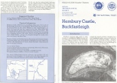
(All above info taken from leaflet which was copyright to Devon Archaeological Society, 1999.)
Source: Devon Archaeological Society printed in 1999 (in association with The Dartmoor Trust and the National Trust), at the time the site was owned by the National Trust. I'm sure they won't mind us having this info and the scanned leaflet for our research.
I did visit this site back in the 1980s, but was not into prehistory then. Hopefully, with a friend now living in Buckfast, I may get to visit this hillfort sometime.
Update October 2019: This hillfort is featured on the Prehistoric Dartmoor Walks (PDW) website - see their entry for the Hembury Castle Fort.
The hillfort is also recorded as Pastscape Monument No. 444797 and as MDV7776 (Hembury Castle Hillfort) on the Devon and Dartmoor HER. The site is also scheduled as Historic England List Entry No. 1003859 (Hembury Castle).
You may be viewing yesterday's version of this page. To see the most up to date information please register for a free account.


Do not use the above information on other web sites or publications without permission of the contributor.
Click here to see more info for this site
Nearby sites
Key: Red: member's photo, Blue: 3rd party photo, Yellow: other image, Green: no photo - please go there and take one, Grey: site destroyed
Download sites to:
KML (Google Earth)
GPX (GPS waypoints)
CSV (Garmin/Navman)
CSV (Excel)
To unlock full downloads you need to sign up as a Contributory Member. Otherwise downloads are limited to 50 sites.
Turn off the page maps and other distractions
Nearby sites listing. In the following links * = Image available
2.9km ENE 70° St Gudula's Well* Holy Well or Sacred Spring (SX754694)
4.2km SSW 213° Skerraton Down Round Cairn (SX703650)
4.2km WNW 289° Holne Lee* Ring Cairn (SX68666992)
4.5km SW 220° Harbourne Head Standing Stone* Standing Stone (Menhir) (SX69686509)
4.5km N 10° Stidwell* Holy Well or Sacred Spring (SX735729)
4.7km N 9° Ten Commandments Stone* Natural Stone / Erratic / Other Natural Feature (SX735731)
4.9km N 10° Buckland Ridge South Ring Cairn (SX73577324)
4.9km SW 224° Harbourne Head A* Ring Cairn (SX6911765034)
4.9km SW 224° Harbourne Head B* Ring Cairn (SX6914265001)
5.0km SW 232° Gripper's Hill Cairn Circle* Ring Cairn (SX68656550)
5.2km WSW 257° Inner Pupers Ring Cairn (SX67556741)
5.2km W 279° Mardle Embanked Cairn* Stone Circle (SX67516935)
5.5km WSW 257° Puper's Rock Ring Cairn (SX67276737)
5.5km WSW 258° Outer Pupers Ring Cairn (SX672674)
5.5km WNW 304° Holne Moor North Ring Cairn (SX68097162)
5.5km WSW 239° Brockhill Ford* Cairn (SX6780965702)
5.6km WSW 239° Brockhill Settlement* Ancient Village or Settlement (SX677657)
5.6km SSW 202° Tynacombe Ring Cairn (SX70376328)
5.7km WSW 237° Dean Moor Enclosed Settlement* Ancient Village or Settlement (SX67766545)
5.7km W 266° Snowdon Cairns (Dartmoor)* Barrow Cemetery (SX669682)
5.8km SW 229° Gripper's Hill Enclosed Settlement* Ancient Village or Settlement (SX68156481)
5.8km WNW 295° Holne Moor* Multiple Stone Rows / Avenue (SX6743171042)
5.8km WNW 302° Aller Brook* Cist (SX67807168)
5.9km NW 322° Sherberton Common Multiple Stone Rows / Avenue (SX691732)
6.2km WNW 291° Holne Ridge 9* Cairn (SX6691970785)
View more nearby sites and additional images




 We would like to know more about this location. Please feel free to add a brief description and any relevant information in your own language.
 Wir möchten mehr über diese Stätte erfahren. Bitte zögern Sie nicht, eine kurze Beschreibung und relevante Informationen in Deutsch hinzuzufügen.
 Nous aimerions en savoir encore un peu sur les lieux. S'il vous plaît n'hesitez pas à ajouter une courte description et tous les renseignements pertinents dans votre propre langue.
 Quisieramos informarnos un poco más de las lugares. No dude en añadir una breve descripción y otros datos relevantes en su propio idioma.