Contributory members are able to log private notes and comments about each site
Sites markj99 has logged. View this log as a table or view the most recent logs from everyone
Law Knowe
Date Added: 23rd Nov 2023
Site Type: Cairn
Country: Scotland (South Lanarkshire)
Visited: Yes on 2nd May 2023
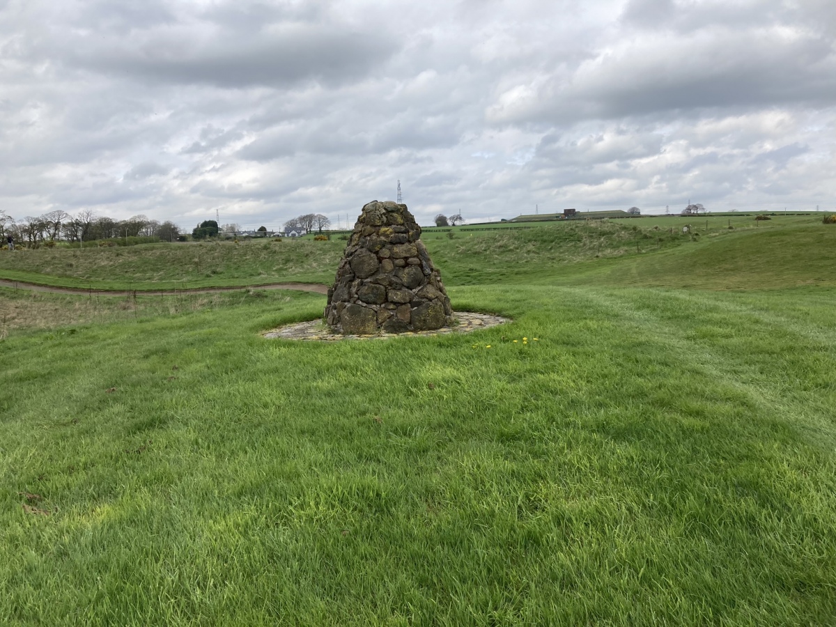
Law Knowe submitted by markj99 on 3rd May 2023. Law Knowe viewed from S.
(View photo, vote or add a comment)
Log Text: The location of Lab Knowe has been preserved for future antiquarians, however the grass mound with a modern stone marker cairn and information plaque is scant compensation for the destruction of an ancient cairn.
Captain's Bridge (Drummochreen) W
Date Added: 28th Nov 2023
Site Type: Hillfort
Country: Scotland (South Ayrshire)
Visited: Yes on 2nd May 2023. My rating: Condition 2 Ambience 4 Access 4
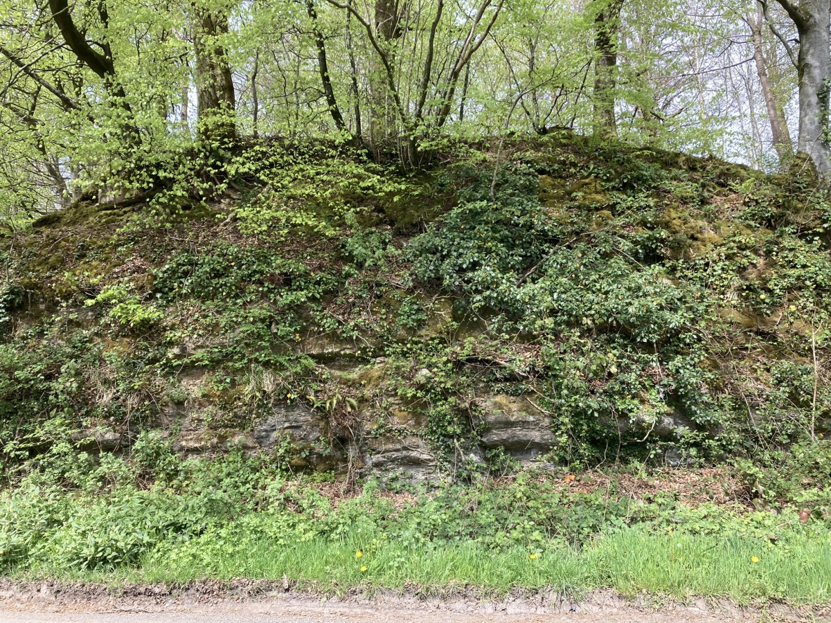
Captain's Bridge (Drummochreen) W submitted by markj99 on 15th May 2023. Captain's Bridge (Drummochreen) W Hillfort viewed from Captain's Bridge.
(View photo, vote or add a comment)
Log Text: Directions to Captain's Bridge (Drummochreen) W: Take the B741 Dailly road off the A77, N of Girvan. After c. 5 miles stay straight on for Maybole at the Dailly junction. Continue towards Maybole for c. 1.7 miles to a farm junction on the left at NS 28593 03605. Park up and walk c. 120 yards W along the dirt track to a green track on the left. Walk 5 yards along the green track. Look left to see the outer bank and ditch of the fort. Climb over the bank to enter the enclosure of Captain's Bridge (Drummochreen) W fort.
Captain's Bridge (Drummochreen) SE
Date Added: 6th Nov 2023
Site Type: Stone Fort or Dun
Country: Scotland (South Ayrshire)
Visited: Yes on 2nd May 2023. My rating: Condition 2 Ambience 4 Access 4
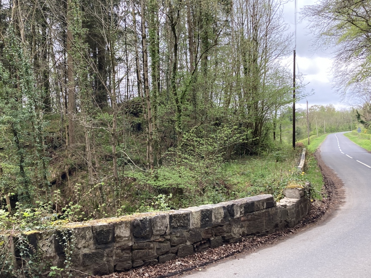
Captain's Bridge (Drummochreen) SE submitted by markj99 on 14th May 2023. Captain's Bridge (Drummochreen) SE Dun viewed from Captain's Bridge.
(View photo, vote or add a comment)
Log Text: Directions to Captain's Bridge (Drummochreen) SE: Take the B741 Dailly road off the A77, N of Girvan. After c. 5 miles stay straight on for Maybole at the Dailly junction. Continue towards Maybole for c. 1.7 miles to a farm junction on the left. Park up and walk c. 150 yards SW round the corner to Captain's Bridge (Drummochreen) SE on the S end of the bridge.
Cairnpapple Hill
Date Added: 25th Apr 2023
Site Type: Round Cairn
Country: Scotland (West Lothian)
Visited: Yes on 22nd Apr 2023. My rating: Condition 3 Ambience 4 Access 4
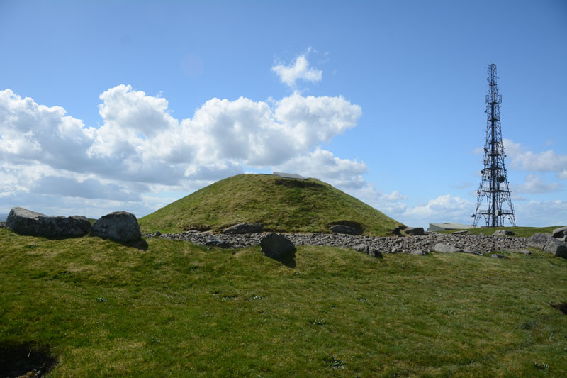
Cairnpapple Hill submitted by Anne T on 21st May 2017. View of the north side of the cairn, looking back towards the visitor centre and mast behind.
(View photo, vote or add a comment)
Log Text: On approach there are so many features in Cairnpapple Hill Cairn it is hard to get your head around. After walking round for 30 minutes I managed to get a mental map of the phases of construction. The restoration may seem excessive to some but at least the concrete dome allows safe access to the central cists. It is currently £7.50 to visit during opening hours but I did spend a solitary hour investigating the many facets of the cairn.
Galabraes
Date Added: 25th Apr 2023
Site Type: Standing Stone (Menhir)
Country: Scotland (West Lothian)
Visited: Yes on 22nd Apr 2023. My rating: Condition 3 Ambience 4 Access 3
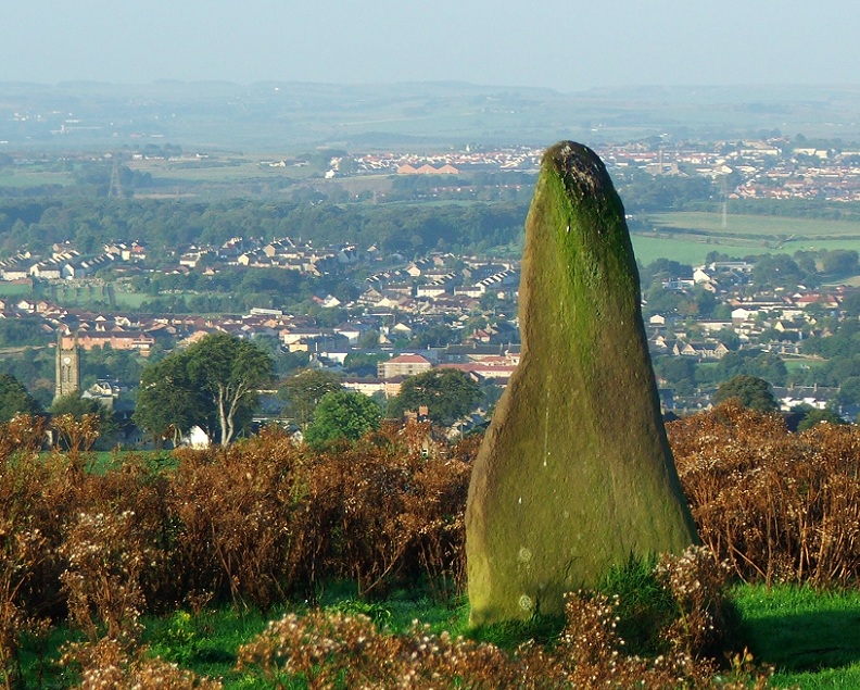
Galabraes submitted by postman on 11th Nov 2012. Site in West Lothian Scotland
Galabraes standing stone, it's not far from Cairnpapple and very close to the road, how com no-ones posted on here before
(View photo, vote or add a comment)
Log Text: Galabraes E Standing Stone is on the left side of the narrow road approaching Cairnpapple Hill. I resolved to visit it on the way back. To paraphrase Charles Dickens, Galabraes is "A Tale of Two Stones": the E Standing Stone is a tall erect slab and the W broken stump on the edge of gorse bushes is a sad remnant of a standing stone. In fact, the gorse bushes are encroaching on W Galabraes stone so don't leave it too long. The condition rating of Galabraes E is 4 and Galabraes W is 2, hence the average rating of 3.
Hillend (Loanhead)
Date Added: 26th Nov 2023
Site Type: Hillfort
Country: Scotland (Midlothian)
Visited: Yes on 21st Apr 2023. My rating: Condition 2 Ambience 5 Access 3
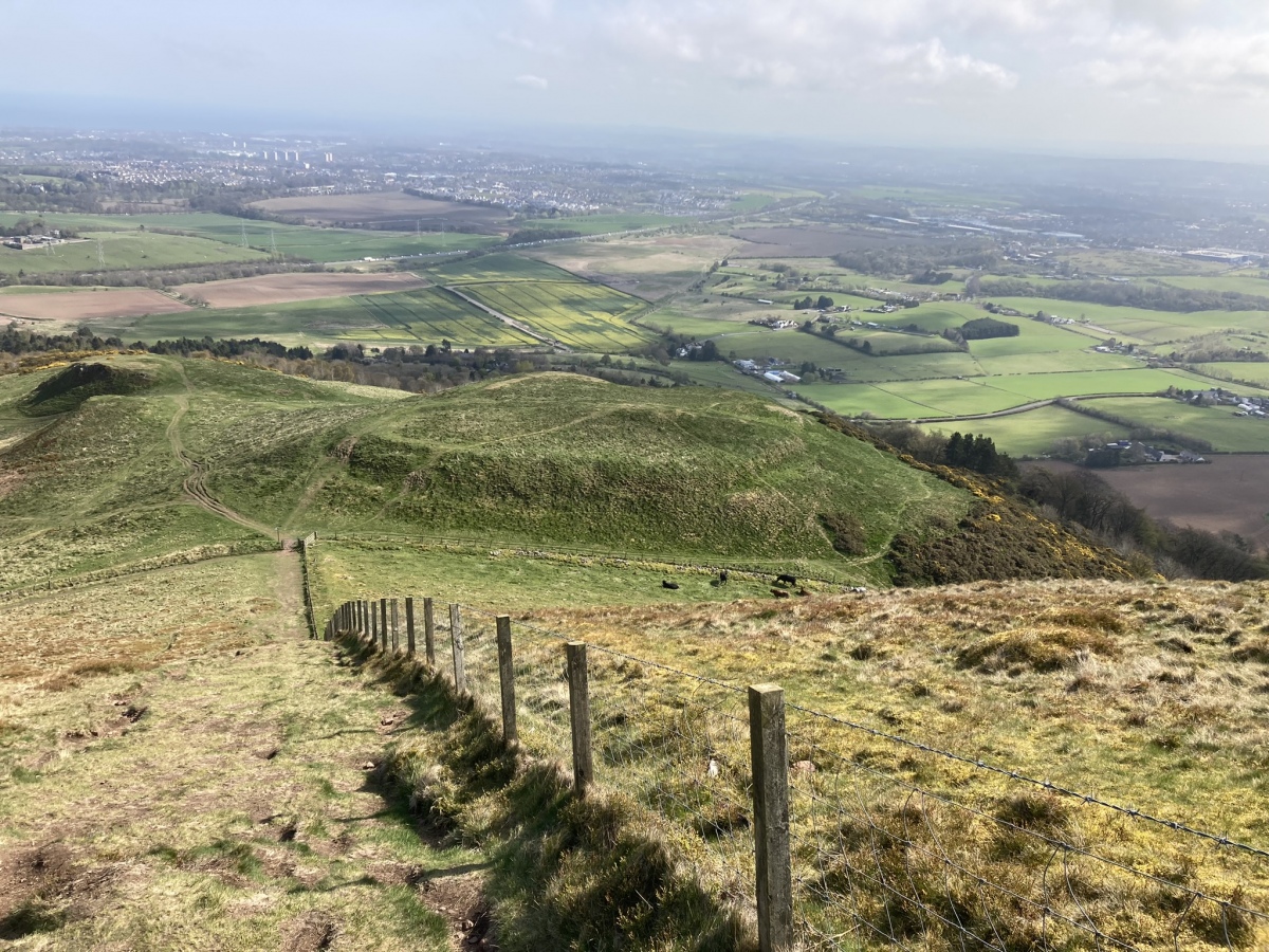
Hillend (Loanhead) submitted by markj99 on 25th Apr 2023. Hillend Hillfort viewed from SW.
(View photo, vote or add a comment)
Log Text: I parked at NT 24954 66968, a car park at the Hillend Ski Centre junction with the A702 on the S edge of Edinburgh. A path leading W starts here, before it turns to the SW. This path leads up to an elevated ridge which commands impressive views of Edinburgh. Caerketton Fort and Cairn are accessed by this moderately steep route. My route can be viewed on Caerketton Hill Cairn.
Galachlaw Cairn
Date Added: 2nd Sep 2023
Site Type: Cairn
Country: Scotland (Midlothian)
Visited: Yes on 21st Apr 2023. My rating: Condition 2 Ambience 4 Access 4
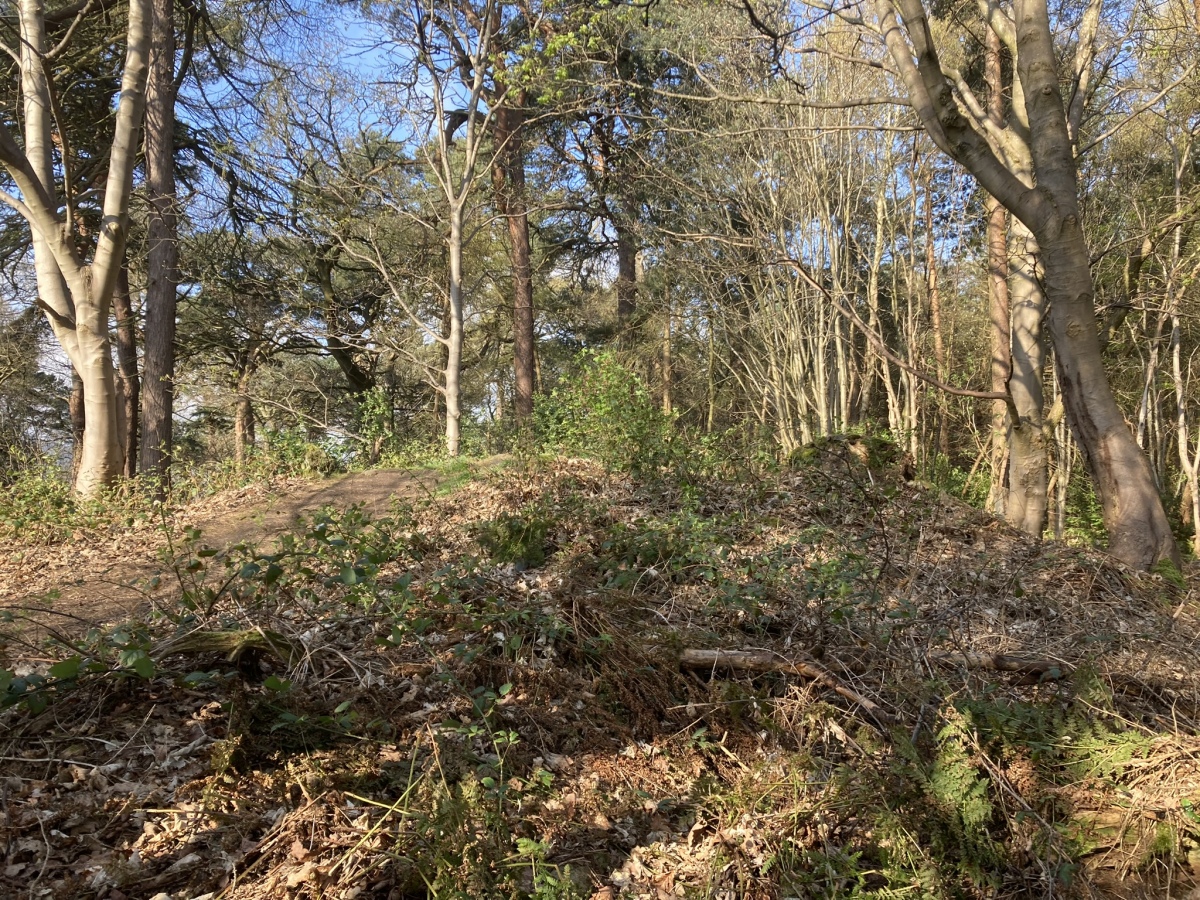
Galachlaw Cairn submitted by markj99 on 25th Apr 2023. Galachlaw Cairn viewed from E.
(View photo, vote or add a comment)
Log Text: There is room to park at the end of Galachlawside cul-de sac. A vague path leads SW into the woods on the edge of the Fairmilehead housing estate. A short clamber up a grassy slope leads to the badly preserved remains of Galachlaw cairn, which lies on a busy woodland path running E-W.
Caerketton Hill
Date Added: 26th Nov 2023
Site Type: Cairn
Country: Scotland (Midlothian)
Visited: Yes on 21st Apr 2023. My rating: Condition 2 Ambience 5 Access 3
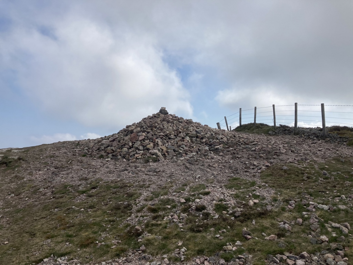
Caerketton Hill submitted by markj99 on 25th Apr 2023. Caerketton Hill Cairn viewed from W.
(View photo, vote or add a comment)
Log Text: I parked at NT 24954 66968, a car park at the Hillend Ski Centre junction with the A702 on the S edge of Edinburgh. A path leading W starts here, before it turns to the SW. This path leads up to an elevated ridge which commands impressive views of Edinburgh. Caerketton Fort and Cairn are accessed by this moderately steep route. My route can be viewed on Caerketton Hill Cairn.
Brae Farm Central
Date Added: 12th Aug 2023
Site Type: Cairn
Country: Scotland (Dumfries and Galloway)
Visited: Yes on 14th Apr 2023. My rating: Condition 2 Ambience 4 Access 3
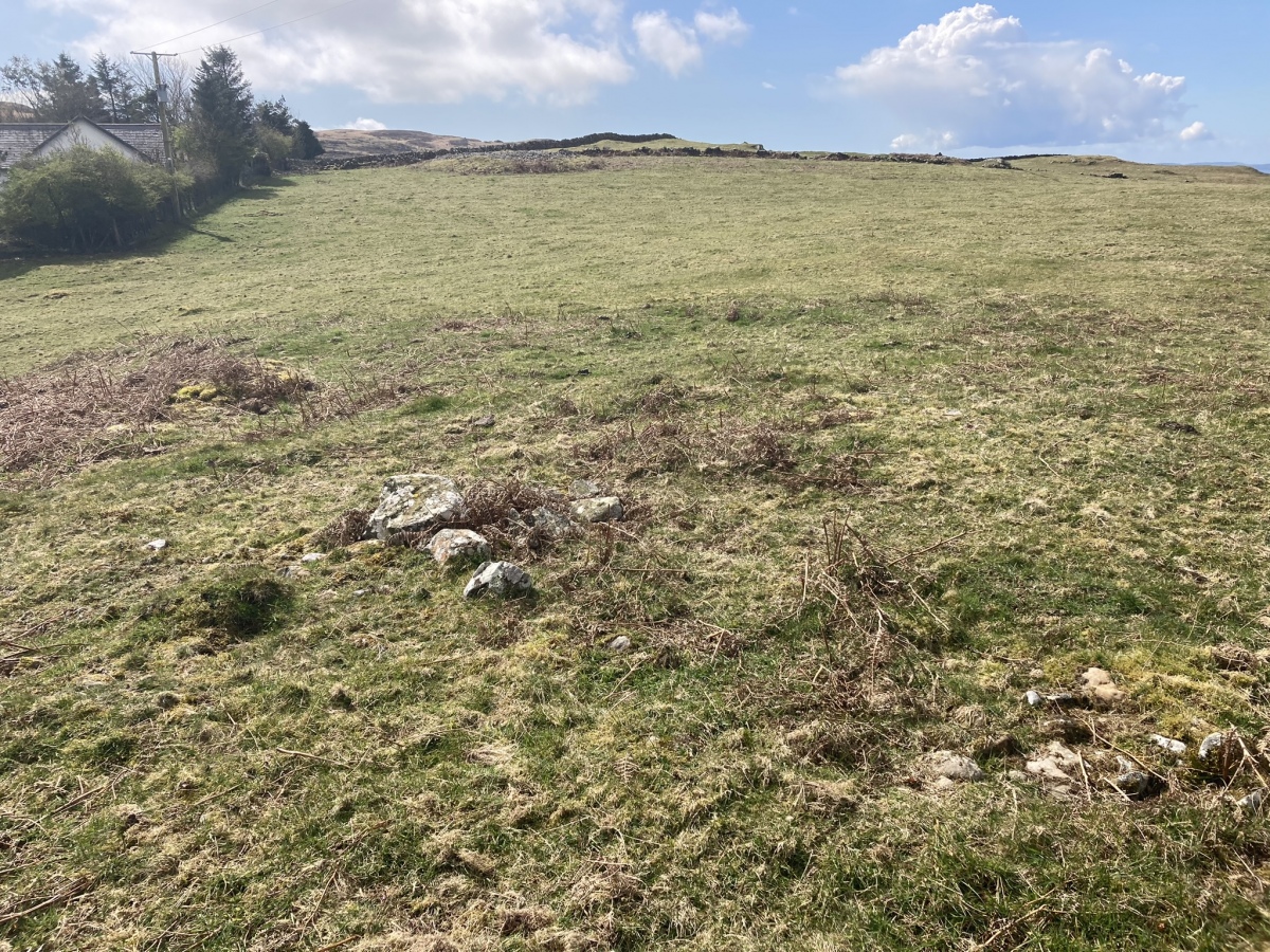
Brae Farm Central submitted by markj99 on 16th Apr 2023. Centre of Brae Farm Central Cairn viewed from N.
(View photo, vote or add a comment)
Log Text: Brae Farm Central Cairn is a grassy mound in a field adjacent to Brae Farm c. 25 yards west of the farm road.
Brae Farm SW
Date Added: 12th Aug 2023
Site Type: Cairn
Country: Scotland (Dumfries and Galloway)
Visited: Yes on 14th Apr 2023. My rating: Condition 3 Ambience 4 Access 3
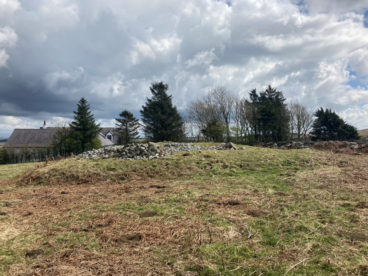
Brae Farm SW Cairn submitted by markj99 on 16th Apr 2023. Brae Farm SW Cairn viewed from W.
(View photo, vote or add a comment)
Log Text: Brae Farm SW Cairn is the best preserved cairn of a group in and around Brae Farm. It is c. 50 yards W of Brae Farm in the SE corner of the field.
Brae Farm NE
Date Added: 12th Aug 2023
Site Type: Cairn
Country: Scotland (Dumfries and Galloway)
Visited: Yes on 3rd Apr 2023. My rating: Condition 2 Ambience 4 Access 3
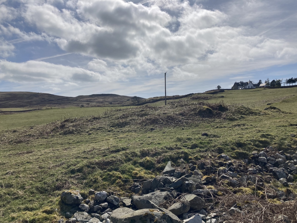
Brae Farm NE submitted by markj99 on 13th Apr 2023. Brae Farm NE Cairn viewed from N.
(View photo, vote or add a comment)
Log Text: It is possible to park on the verge of the B7005 at NX 30371 50960. Walk W to the gateway. Brae Farm NE is c. 150 yards W on the margin of the field.
Brae Moor Cairn
Date Added: 13th Aug 2023
Site Type: Cairn
Country: Scotland (Dumfries and Galloway)
Visited: Yes on 3rd Apr 2023. My rating: Condition 2 Ambience 4 Access 4
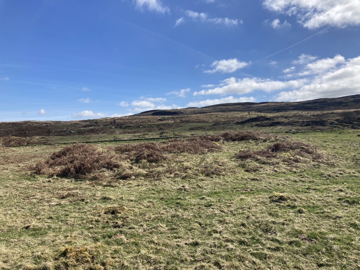
Brae Moor Cairn submitted by markj99 on 14th Apr 2023. Brae Moor Cairn viewed from W.
(View photo, vote or add a comment)
Log Text: Brae Moor Cairn is easily accessible via a farm track off the B7005. See comment on site page for details.
High Moor Hut Circle
Date Added: 13th Aug 2023
Site Type: Misc. Earthwork
Country: Scotland (Dumfries and Galloway)
Visited: Yes on 3rd Apr 2023. My rating: Condition 2 Ambience 4 Access 4

High Moor Hut Circle submitted by markj99 on 16th Apr 2023. High Moor Hut Circle viewed from NW.
(View photo, vote or add a comment)
Log Text: High Moor Hut Circle is easily accessible via a farm track off the B7005. See comment on site page for details.
Craignarget Hill
Date Added: 12th Aug 2023
Site Type: Cairn
Country: Scotland (Dumfries and Galloway)
Visited: Yes on 2nd Apr 2023. My rating: Condition 3 Ambience 4 Access 3
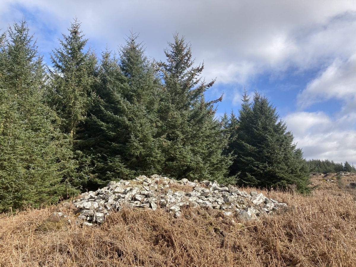
Craignarget Hill submitted by markj99 on 12th Apr 2023. Craignarget Hill Cairn viewed from S.
(View photo, vote or add a comment)
Log Text: Craignarget is a neglected gem, hidden in a rarely visited forest clearing. I sought it out after finding it on Canmore. See comment on site page for directions and route.
High Gillespie
Date Added: 31st Mar 2023
Site Type: Passage Grave
Country: Scotland (Dumfries and Galloway)
Visited: Yes on 30th Mar 2023. My rating: Condition 2 Ambience 4 Access 1
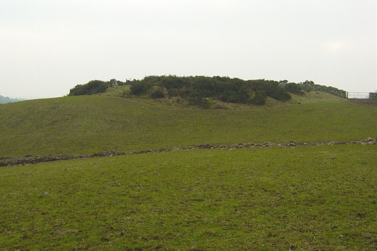
High Gillespie submitted by mickm on 9th Jan 2005. High Gllespie, chambered long cairn viewed from the north. This is probably a Clyde type tomb. It contains an unusually large number of chambers (at least 6) and there are also 5 remaining stones of a flat facade at the eastern end. The cairn is crossed by a field wall, beyond which the western end has been completely destroyed.
(View photo, vote or add a comment)
Log Text: High Gillespie is accessible via a path. However, there are beef cattle in permanent residence at the start of the path. Beef cattle can be dangerous, beef cattle with calves ARE dangerous. I made a detour round the field then followed a rocky track N. A grass track veers off left of this track. Follow this wet and muddy track (wellies essential) to reach a ford. Turn left after the ford to a bridge crossing a fast flowing stream. Head S down the field to reach High Gillespie Cairn covered in whins on the S margin of the pasture.
Castle Loch
Date Added: 29th Mar 2023
Site Type: Cairn
Country: Scotland (Dumfries and Galloway)
Visited: Yes on 27th Mar 2023. My rating: Condition 2 Ambience 4 Access 1

Castle Loch submitted by markj99 on 28th Mar 2023. Grass Track bisects Castle Loch Cairn on a NE-SW Alignment.
(View photo, vote or add a comment)
Log Text: Castle Loch Cairn may be in the middle of nowhere and a pale shadow of it's original state, however the splendid isolation of the location rewards a visit.
Smittons Bridge
Date Added: 27th Mar 2023
Site Type: Cairn
Country: Scotland (Dumfries and Galloway)
Visited: Yes on 25th Mar 2023. My rating: Condition 2 Ambience 3 Access 4
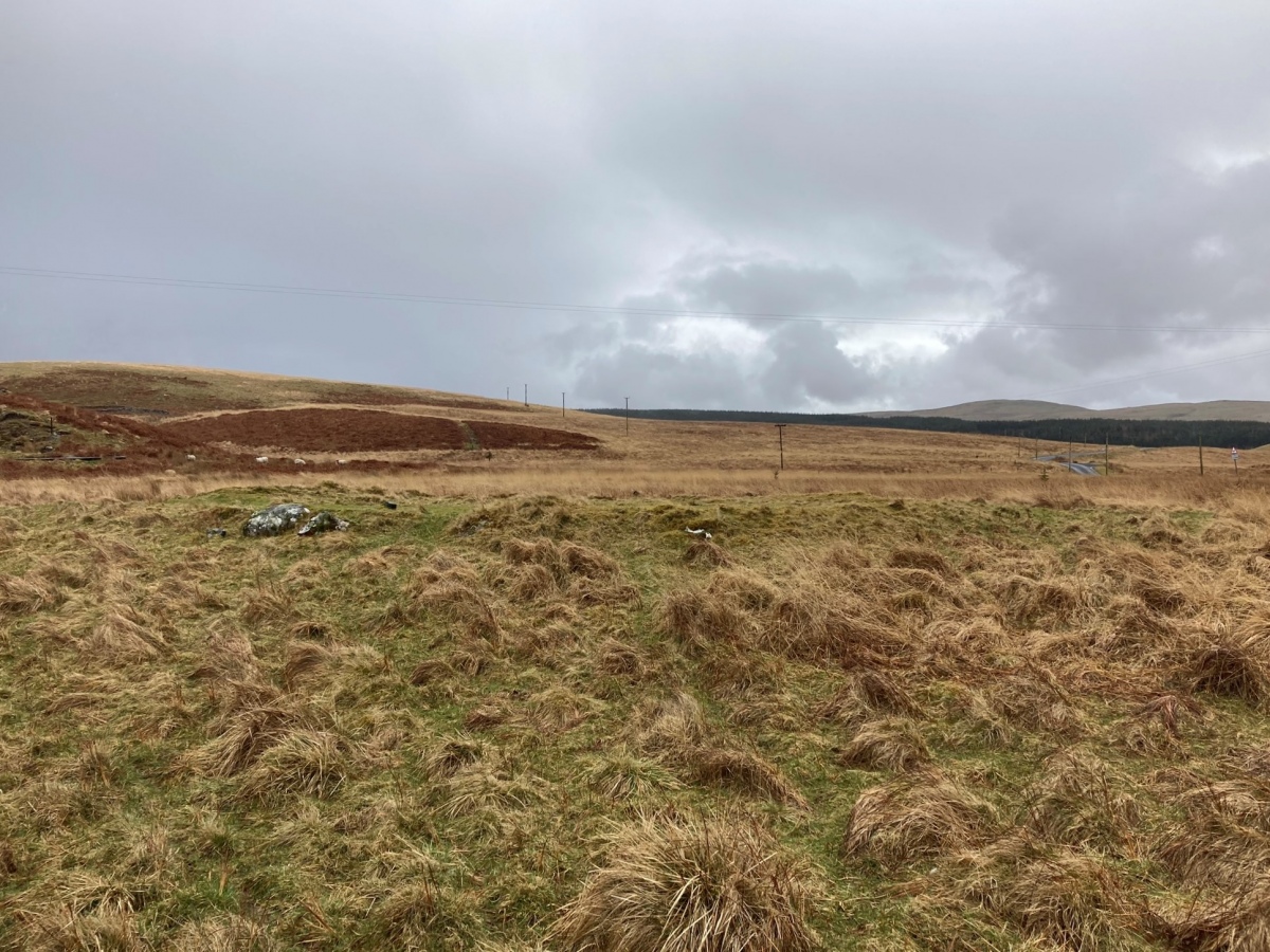
Smittons Bridge submitted by markj99 on 26th Mar 2023. Smittons Bridge Kerb Cairn viewed from W.
(View photo, vote or add a comment)
Log Text: Smittons Bridge Kerb Cairn is located in the middle of nowhere, however it is easy to visit the nearby Stroanfreggan Craig and Stroanfreggan Cairn sites.
Stowe's Pound
Date Added: 7th Mar 2023
Site Type: Ancient Village or Settlement
Country: England (Cornwall)
Visited: Yes on 22nd Feb 2023. My rating: Condition 2 Ambience 4 Access 3
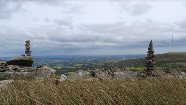
Stowe's Pound submitted by TheCaptain on 14th Sep 2017. Stones from Stowe's Pound on Bodmin Moor, Cornwall, are being used to build the "fairy stacks" by people "probably unaware" they are breaking the law. The stacks have been described as "historic vandalism".
Picture from Stuart Dow via BBC
(View photo, vote or add a comment)
Log Text: I have visited Stowe's Pound on several occasions without exploring it fully. This time I made a clockwise circuit round the enclosure from the Cheesewring. The enclosure is dominated by the stone stacks on the summit of Stowe's Hill.
The Cheesewring
Date Added: 7th Mar 2023
Site Type: Natural Stone / Erratic / Other Natural Feature
Country: England (Cornwall)
Visited: Yes on 22nd Feb 2023. My rating: Condition 4 Ambience 4 Access 3
The Cheesewring submitted by cazzyjane on 13th Oct 2010. The Cheesewring looks down on the wonderful moorland surrounding it.
(View photo, vote or add a comment)
Log Text: The Cheesewring may not be man-made but it is still well worth an inclusion in TMP. A visit to Minions is not complete without a walk to Stowe's Hill via The Hurlers, followed naturally by a cream tea.
The Long Stone (Minions)
Date Added: 7th Mar 2023
Site Type: Standing Stone (Menhir)
Country: England (Cornwall)
Visited: Yes on 22nd Feb 2023. My rating: Condition 4 Ambience 3 Access 4
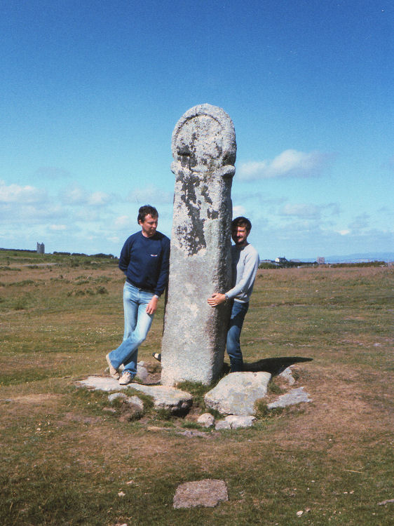
The Long Stone (Minions) submitted by thecaptain on 31st Aug 2008. Long Tom, near Minions.
Picture from about 1980.
(View photo, vote or add a comment)
Log Text: I found an OS Benchmark on the W Face of The Long Stone (Minions) on my latest visit.
