<< Our Photo Pages >> Shovel Down row 2 - Multiple Stone Rows / Avenue in England in Devon
Submitted by TheCaptain on Sunday, 19 August 2012 Page Views: 7976
Neolithic and Bronze AgeSite Name: Shovel Down row 2 Alternative Name: Shoveldown Stone Row B (Worth); Shovel Down A-B stone row (PMD); Butler (map 36.7.2)Country: England County: Devon Type: Multiple Stone Rows / Avenue
Nearest Town: Chagford Nearest Village: Teigncombe
Map Ref: SX65958620 Landranger Map Number: 191
Latitude: 50.660003N Longitude: 3.897919W
Condition:
| 5 | Perfect |
| 4 | Almost Perfect |
| 3 | Reasonable but with some damage |
| 2 | Ruined but still recognisable as an ancient site |
| 1 | Pretty much destroyed, possibly visible as crop marks |
| 0 | No data. |
| -1 | Completely destroyed |
| 5 | Superb |
| 4 | Good |
| 3 | Ordinary |
| 2 | Not Good |
| 1 | Awful |
| 0 | No data. |
| 5 | Can be driven to, probably with disabled access |
| 4 | Short walk on a footpath |
| 3 | Requiring a bit more of a walk |
| 2 | A long walk |
| 1 | In the middle of nowhere, a nightmare to find |
| 0 | No data. |
| 5 | co-ordinates taken by GPS or official recorded co-ordinates |
| 4 | co-ordinates scaled from a detailed map |
| 3 | co-ordinates scaled from a bad map |
| 2 | co-ordinates of the nearest village |
| 1 | co-ordinates of the nearest town |
| 0 | no data |
Internal Links:
External Links:
I have visited· I would like to visit
PAB would like to visit
Anne T visited on 16th May 2019 - their rating: Cond: 3 Amb: 5 Access: 3 Shovel Down Row 2 with fallen standing stones: We enjoyed a much welcome lunch break at the two pillar stones at the head (southern end) of row 2. Angie got some photographs of Andy B sitting on the larger of the two pillars, and later I wished I’d have stood over her shoulder to get similar shots.
I didn’t walk to the northern most end of this stone circle, as I thought we proposed to visit it on the way back to the car park, but we took a slightly different route, so didn’t see the stones at its other terminus.
By this time of the day, the number of monuments we'd seen already was getting a little overwhelming (so many in such a relatively small piece of moorland), I was really glad I’ been very careful to write down the numbers of the photographs I’d taken for each monument, making it easier to sort the photos out into ‘which monument was which’ that evening.
graemefield visited on 15th May 2016 - their rating: Cond: 3 Amb: 4 Access: 3
SandyG visited on 28th Apr 2013 - their rating: Cond: 4 Amb: 5 Access: 4 Car parking is available at SX 66205 86548. From here head SSW across open moorland to the stone rows.
jeffrep visited on 21st May 2011 - their rating: Cond: 3 Amb: 4 Access: 4
AngieLake TheCaptain cazzyjane have visited here
Average ratings for this site from all visit loggers: Condition: 3.25 Ambience: 4.5 Access: 3.5
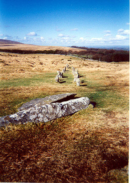
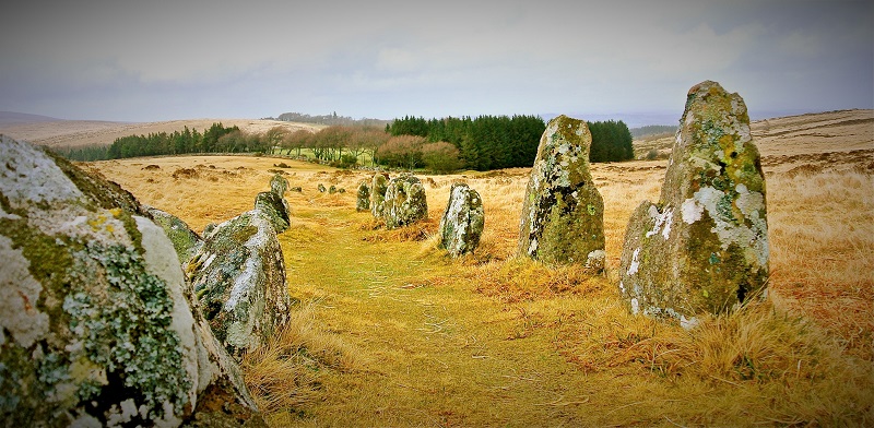
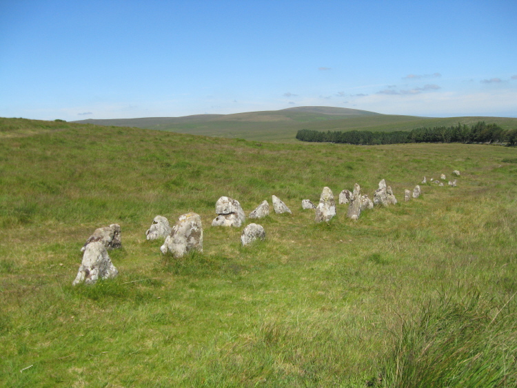
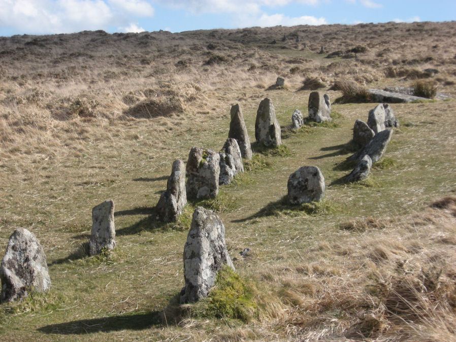
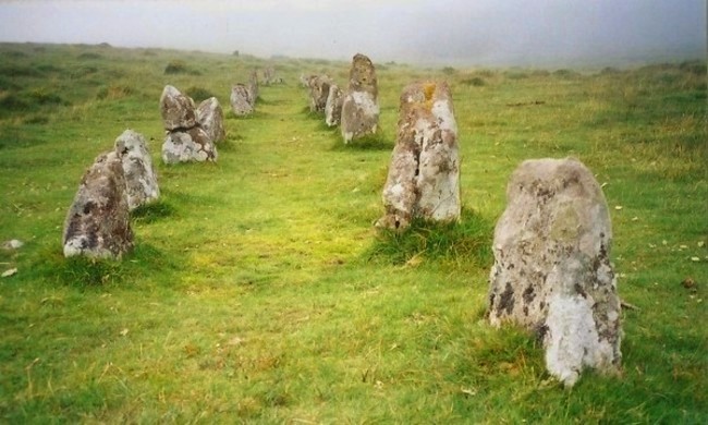
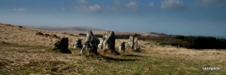
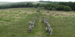
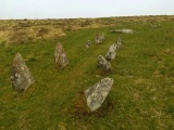
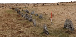
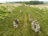
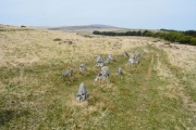
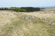
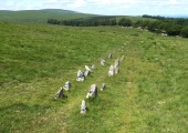
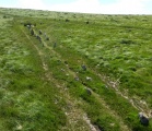
As you approach Shovel Down from Batworthy Corner, the most obvious part of the site which comes into view is the upper end of double row 2. It is of the typical Dartmoor style of double row, with paired stones placed about one and a half metres apart, the pairs of stones generally increasing in height towards a cairn at the upper end. What is seen of this row is the remains of the upper end, which is fairly complete. Unfortunately, much of the lower part of this row has been destroyed, and apart from a nice pair of stones (which may or may not be the lower end), just a few reasonably sized stones can be seen poking through the grass, the rest either removed to make the walls at Batworthy Corner, or perhaps too small to show above the turf.
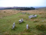
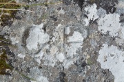
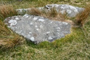
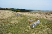
The length of the row would be about 180 metres assuming the lower pair of stones was the end. At the top of the row is a very large pair of fallen pillars, 2.2 and 3.6 metres in length, one of which has had Parish markers cut into it. Beyond these large stones is the remains of a cairn and fourfold stone rings within it.
This stone row is recorded as part of the entry for Pastscape Monument No. 443524 (row B) and as MDV6171 (Alignment B on Shovel Down) on the Devon and Dartmoor HER. The row is also scheduled as part of Historic England List Entry No. 1017874 (The North Teign coaxial field system (western part) and associated later remains at Shovel Down, Stonetor Hill and Long Ridge).
For more information also visit:
The Stone Rows of Great Britain - see their entry for Shoveldown 2, which includes a description, a plan of the monuments in the Shoveldown area showing their relationships, photographs of the alignment and the individual stones, access information and a list of online resources for more information; and
Prehistoric Dartmoor Walks website - see their entries for the Shoveldown B Stone Row and the Shovel Down Complex.
You may be viewing yesterday's version of this page. To see the most up to date information please register for a free account.




These are just the first 25 photos of Shovel Down row 2. If you log in with a free user account you will be able to see our entire collection.
Do not use the above information on other web sites or publications without permission of the contributor.
Click here to see more info for this site
Nearby sites
Key: Red: member's photo, Blue: 3rd party photo, Yellow: other image, Green: no photo - please go there and take one, Grey: site destroyed
Download sites to:
KML (Google Earth)
GPX (GPS waypoints)
CSV (Garmin/Navman)
CSV (Excel)
To unlock full downloads you need to sign up as a Contributory Member. Otherwise downloads are limited to 50 sites.
Turn off the page maps and other distractions
Nearby sites listing. In the following links * = Image available
50m E 89° Shovel Down row 1* Stone Row / Alignment (SX660862)
72m SW 235° Shovel Down row 3* Multiple Stone Rows / Avenue (SX65898616)
130m W 269° Shovel Down stone circle* Stone Circle (SX65828620)
170m S 179° Shovel Down Fourfold Circle* Stone Circle (SX65958603)
210m S 179° Shovel Down* Multiple Stone Rows / Avenue (SX65958599)
252m S 172° Shovel Down row 4* Multiple Stone Rows / Avenue (SX65988595)
314m S 169° Shovel Down Cairn Row 4* Cairn (SX66008589)
335m SSW 205° Shovel Down Settlement* Ancient Village or Settlement (SX658859)
396m SSE 168° Shovel Down row 5* Multiple Stone Rows / Avenue (SX66028581)
526m S 170° The Longstone (Shovel Down)* Standing Stone (Menhir) (SX66038568)
585m E 81° Kes Tor Cairn* Cairn (SX6653286277)
593m ENE 76° Kestor Settlement* Ancient Village or Settlement (SX66538633)
602m S 174° Shovel Down row 6* Multiple Stone Rows / Avenue (SX660856)
604m E 81° Kes Tor Rock Basin* Natural Stone / Erratic / Other Natural Feature (SX66558628)
724m S 172° Three Boys* Standing Stone (Menhir) (SX66038548)
757m SSE 166° Thornworthy Corner North Cist (SX66118546)
784m NNE 33° The Round Pound* Ancient Village or Settlement (SX66398685)
801m S 175° Shovel Down row 7* Multiple Stone Rows / Avenue (SX660854)
850m ENE 66° Modern Stone Circle near Kestor Rock* Modern Stone Circle etc (SX66748652)
878m SW 228° Stonetor Brookhead East Cist (SX65288563)
988m NNW 332° The Tolmen Stone (Dartmoor)* Natural Stone / Erratic / Other Natural Feature (SX65508708)
1.0km SW 222° Stonetor Hill Cairn Circle* Cairn (SX6525085470)
1.1km NNW 334° Scorhill Cairn and Rows* Multiple Stone Rows / Avenue (SX65488721)
1.1km SW 220° Stonetor Hill Stone Ring Cairn Circle Ring Cairn (SX65198535)
1.3km NNW 336° Scorhill* Stone Circle (SX65468738)
View more nearby sites and additional images


 We would like to know more about this location. Please feel free to add a brief description and any relevant information in your own language.
 Wir möchten mehr über diese Stätte erfahren. Bitte zögern Sie nicht, eine kurze Beschreibung und relevante Informationen in Deutsch hinzuzufügen.
 Nous aimerions en savoir encore un peu sur les lieux. S'il vous plaît n'hesitez pas à ajouter une courte description et tous les renseignements pertinents dans votre propre langue.
 Quisieramos informarnos un poco más de las lugares. No dude en añadir una breve descripción y otros datos relevantes en su propio idioma.