<< Our Photo Pages >> Scorhill - Stone Circle in England in Devon
Submitted by thecaptain on Tuesday, 01 April 2025 Page Views: 34236
Neolithic and Bronze AgeSite Name: Scorhill Alternative Name: Gidleigh Circle; Turner G6 Butler (map 38.8)Country: England County: Devon Type: Stone Circle
Nearest Town: Chagford Nearest Village: Teigncombe
Map Ref: SX65468738 Landranger Map Number: 191
Latitude: 50.670495N Longitude: 3.905277W
Condition:
| 5 | Perfect |
| 4 | Almost Perfect |
| 3 | Reasonable but with some damage |
| 2 | Ruined but still recognisable as an ancient site |
| 1 | Pretty much destroyed, possibly visible as crop marks |
| 0 | No data. |
| -1 | Completely destroyed |
| 5 | Superb |
| 4 | Good |
| 3 | Ordinary |
| 2 | Not Good |
| 1 | Awful |
| 0 | No data. |
| 5 | Can be driven to, probably with disabled access |
| 4 | Short walk on a footpath |
| 3 | Requiring a bit more of a walk |
| 2 | A long walk |
| 1 | In the middle of nowhere, a nightmare to find |
| 0 | No data. |
| 5 | co-ordinates taken by GPS or official recorded co-ordinates |
| 4 | co-ordinates scaled from a detailed map |
| 3 | co-ordinates scaled from a bad map |
| 2 | co-ordinates of the nearest village |
| 1 | co-ordinates of the nearest town |
| 0 | no data |
Internal Links:
External Links:
I have visited· I would like to visit
jimstone 43559959 whese001 SolarMegalith Lavive would like to visit
phlebas visited on 27th Jul 2024 - their rating: Cond: 3 Amb: 4 Access: 4 Arrived just as the sky clouded over, just to give a bit extra ambience.
wildtalents visited on 3rd Jul 2023 - their rating: Cond: 4 Amb: 5 Access: 2 Vicious wind and rain did their best to deter me from the circle. Finally encountering some other humans, a couple of female hikers, I asked "Is there a stone circle round here somewhere..?"
They pointed... I was about a hundred yards past it. It is so obvious I can't believe, even now, I had strolled right past.
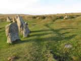
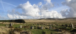
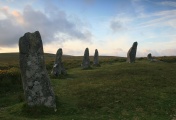
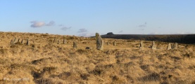
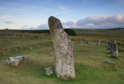
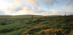
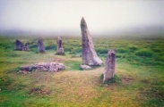
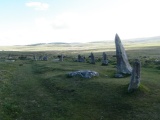
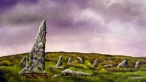
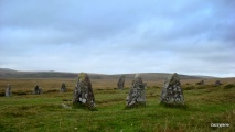
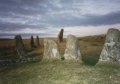
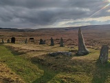
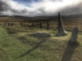
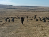
There are some impressive stones in quite a close little huddle, at all sorts of jaggedy angles. Several have fallen, and the ground inside the circle is all bumps and hollows and ditches. Whether this is the result of excavation I don't know. Some of it was rabbits I expect. Watch your footing anyway.
Phillwhite visited on 18th Jun 2021 - their rating: Cond: 3 Amb: 4 Access: 2 Like most of the Dartmoor circle, it's a bit of a trek but worth it.
Monoman visited on 1st Sep 2019 - their rating: Cond: 4 Amb: 5 Access: 3 I visited Scorhill a few years back. The weather was favourable to begin with and then a Bank of cloud rolled in from the north. The atmosphere change noticeably and we soon noticed both our phone batteries had drained down. It's a magical place.
TwinFlamesKiss visited on 1st Apr 2013 - their rating: Cond: 4 Amb: 4 Access: 3 About a half mile nice walk from car park.
graemefield visited on 1st Aug 2008 - their rating: Cond: 3 Amb: 5 Access: 2
woodini254 visited on 16th Mar 1994 - their rating: Cond: 4 Amb: 5 Access: 3
Lazulilou visited - their rating: Cond: 3 Amb: 5 Access: 2
Silkscream visited - their rating: Cond: 5 Amb: 5 Access: 2
SandyG Bladup cazzyjane AngieLake TheCaptain Ahdzib NickyD have visited here
Average ratings for this site from all visit loggers: Condition: 3.67 Ambience: 4.67 Access: 2.56
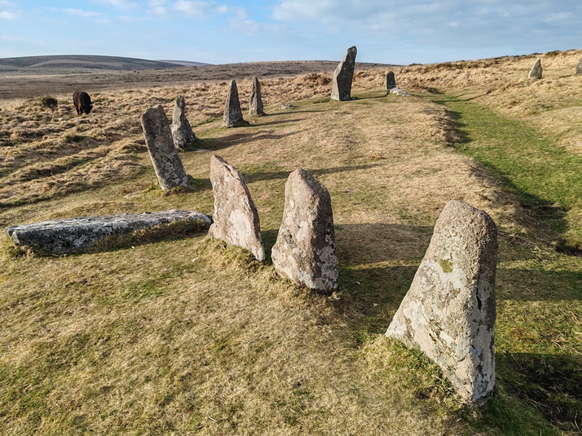
The 2.4m (8-foot) pillar at the NW is set radially to the perimeter of the circle, and its alignment with the most northerly moonrise from the centre of the circle might indicate an attempt to incorporate astronomy into the construction of the circle.
This stone circle with its associated standing stone is recorded as Pastscape Monument No. 443556, as MDV6122 (Stone Circle, Scorhill Down), and scheduled as part of Historic England List Entry No. 1018915 (Scorhill stone circle, three cairns and a length of reave).
The stone circle is also featured on the Prehistoric Dartmoor Walks (PDW) website - see their entries for the Scorhill Stone Circle, the Scorhill Circle Standing Stone and the Schorhill Stone Circle (Walk). PDW describes this site as "one of Dartmoor's most attractive sites".
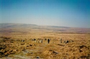
Access: Short walk from Batworthy Corner, over clapper bridge crossing River North Teign, or a small parking area is available at Scorhill farm.
You may be viewing yesterday's version of this page. To see the most up to date information please register for a free account.







These are just the first 25 photos of Scorhill. If you log in with a free user account you will be able to see our entire collection.
Do not use the above information on other web sites or publications without permission of the contributor.
Click here to see more info for this site
Nearby sites
Key: Red: member's photo, Blue: 3rd party photo, Yellow: other image, Green: no photo - please go there and take one, Grey: site destroyed
Download sites to:
KML (Google Earth)
GPX (GPS waypoints)
CSV (Garmin/Navman)
CSV (Excel)
To unlock full downloads you need to sign up as a Contributory Member. Otherwise downloads are limited to 50 sites.
Turn off the page maps and other distractions
Nearby sites listing. In the following links * = Image available
171m S 172° Scorhill Cairn and Rows* Multiple Stone Rows / Avenue (SX65488721)
303m S 171° The Tolmen Stone (Dartmoor)* Natural Stone / Erratic / Other Natural Feature (SX65508708)
400m NE 35° Gidleigh Common Cairns Cairn (SX657877)
640m NNW 345° Buttern Hill settlement* Ancient Village or Settlement (SX6531488003)
1.1km ESE 118° The Round Pound* Ancient Village or Settlement (SX66398685)
1.2km NNW 345° Buttern Hill Possible Menhir* Standing Stone (Menhir) (SX6518688544)
1.2km N 9° Gidleigh Chambered Cairn* Chambered Cairn (SX65678856)
1.2km NNW 333° Buttern E* Stone Circle (SX6493988475)
1.2km N 0° Buttern Hill Hut Circle* Ancient Village or Settlement (SX655886)
1.2km SSE 162° Shovel Down stone circle* Stone Circle (SX65828620)
1.3km SSE 156° Shovel Down row 2* Multiple Stone Rows / Avenue (SX65958620)
1.3km SSE 159° Shovel Down row 3* Multiple Stone Rows / Avenue (SX65898616)
1.3km SSE 154° Shovel Down row 1* Stone Row / Alignment (SX660862)
1.4km SSE 159° Shovel Down Fourfold Circle* Stone Circle (SX65958603)
1.5km SSE 159° Shovel Down* Multiple Stone Rows / Avenue (SX65958599)
1.5km SE 133° Kestor Settlement* Ancient Village or Settlement (SX66538633)
1.5km SSE 166° Shovel Down Settlement* Ancient Village or Settlement (SX658859)
1.5km SSE 159° Shovel Down row 4* Multiple Stone Rows / Avenue (SX65988595)
1.5km SE 134° Kes Tor Cairn* Cairn (SX6653286277)
1.5km ESE 122° Modern Stone Circle near Kestor Rock* Modern Stone Circle etc (SX66748652)
1.5km SE 134° Kes Tor Rock Basin* Natural Stone / Erratic / Other Natural Feature (SX66558628)
1.6km SW 222° Shoveldown North West 5 Cairn (SX6438986247)
1.6km SSE 159° Shovel Down Cairn Row 4* Cairn (SX66008589)
1.6km NNE 13° Gidleigh North Chambered Tomb (SX6586688971)
1.7km SSE 159° Shovel Down row 5* Multiple Stone Rows / Avenue (SX66028581)
View more nearby sites and additional images


 We would like to know more about this location. Please feel free to add a brief description and any relevant information in your own language.
 Wir möchten mehr über diese Stätte erfahren. Bitte zögern Sie nicht, eine kurze Beschreibung und relevante Informationen in Deutsch hinzuzufügen.
 Nous aimerions en savoir encore un peu sur les lieux. S'il vous plaît n'hesitez pas à ajouter une courte description et tous les renseignements pertinents dans votre propre langue.
 Quisieramos informarnos un poco más de las lugares. No dude en añadir una breve descripción y otros datos relevantes en su propio idioma.