<< Our Photo Pages >> Holne Moor - Multiple Stone Rows / Avenue in England in Devon
Submitted by Brian_Byng on Saturday, 28 February 2015 Page Views: 12470
Neolithic and Bronze AgeSite Name: Holne MoorCountry: England County: Devon Type: Multiple Stone Rows / Avenue
Nearest Town: Buckfastleigh Nearest Village: Dartmeet
Map Ref: SX6743171042 Landranger Map Number: 202
Latitude: 50.524101N Longitude: 3.871566W
Condition:
| 5 | Perfect |
| 4 | Almost Perfect |
| 3 | Reasonable but with some damage |
| 2 | Ruined but still recognisable as an ancient site |
| 1 | Pretty much destroyed, possibly visible as crop marks |
| 0 | No data. |
| -1 | Completely destroyed |
| 5 | Superb |
| 4 | Good |
| 3 | Ordinary |
| 2 | Not Good |
| 1 | Awful |
| 0 | No data. |
| 5 | Can be driven to, probably with disabled access |
| 4 | Short walk on a footpath |
| 3 | Requiring a bit more of a walk |
| 2 | A long walk |
| 1 | In the middle of nowhere, a nightmare to find |
| 0 | No data. |
| 5 | co-ordinates taken by GPS or official recorded co-ordinates |
| 4 | co-ordinates scaled from a detailed map |
| 3 | co-ordinates scaled from a bad map |
| 2 | co-ordinates of the nearest village |
| 1 | co-ordinates of the nearest town |
| 0 | no data |
Internal Links:
External Links:
I have visited· I would like to visit
graemefield visited on 8th Sep 2016 - their rating: Cond: 2 Amb: 4 Access: 3
SandyG visited on 14th Apr 2013 - their rating: Cond: 3 Amb: 4 Access: 3 Car parking is available at SX 67544 71401. From here head south across the open moorland for about 400m.
TheCaptain have visited here
Average ratings for this site from all visit loggers: Condition: 2.5 Ambience: 4 Access: 3
The row azimuth is 112 deg.
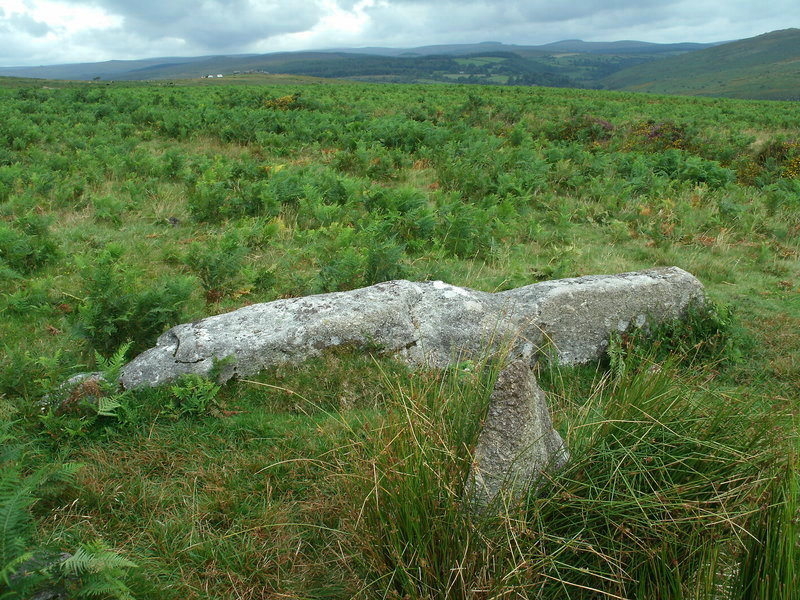
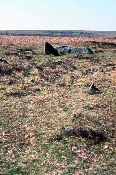
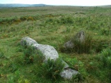
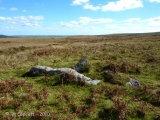
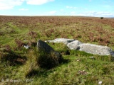
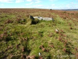
Viewed from the lower Eastern end the fallen longstone & companions would have been prominent cutting the western skyline. Declination for western skyline is 15.57. Star spica 3200 BC or May Day sunset?
Update October 2019: This stone row is featured on the Stone Rows of Great Britain website - see their entry for Holne Moor, which includes as description, a simplified plan of the row, photographs of the alignments along its length and across its three rows, access information and a list of online resources for more information. The SRoGB notes: "The alignment is composed mainly of tiny stones that barely protrude through the turf … (a) field boundary is parallel to the rows and forms the southern edge of the substantial Bronze Age Yar Tor coaxial field system ... The relationship with the field boundary may suggest that this alignment was afforded respect by the field system builders or alternatively it was built afterwards. If the latter this would suggest that stone rows remained in use during the Middle Bronze Age – an explanation that is contradicted by evidence from elsewhere on Dartmoor".
The row is also recorded as Pastscape Monument No. 443069 and as MDV12983 (Alignment) on the Devon and Dartmoor HER. This triple stone row is also scheduled as part of Historic England List Entry No. 1020487 (Part of the Dartmeet coaxial field system and other archaeological remains on Holne Moor west and north west of Venford Reservoir).
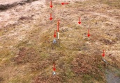
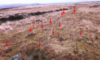
The row is also featured on the Prehistoric Dartmoor Walks (PDW) website - see their entry for the Holne Moor Stone Row, which adds: "(this is) A standing stone and triple stone row lying in a secluded position, across the head of a shallow, north facing valley. It measures 147 metres long with rows on average 1.5 m apart. The stones, fifty three of which were located, have a maximum height of 0.2 m and are spaced about 1.1 m apart, each opposite the stone of the adjacent row. There is also a possible former standing stone which is now recumbent".
Note: Large chunks of Holne Moor are up for auction on March 26th including cairns, a hut circle, and what's described as an 'ancient walkway', which is presumably this stone row. See the latest comment on our page
You may be viewing yesterday's version of this page. To see the most up to date information please register for a free account.


Do not use the above information on other web sites or publications without permission of the contributor.
Click here to see more info for this site
Nearby sites
Key: Red: member's photo, Blue: 3rd party photo, Yellow: other image, Green: no photo - please go there and take one, Grey: site destroyed
Download sites to:
KML (Google Earth)
GPX (GPS waypoints)
CSV (Garmin/Navman)
CSV (Excel)
To unlock full downloads you need to sign up as a Contributory Member. Otherwise downloads are limited to 50 sites.
Turn off the page maps and other distractions
Nearby sites listing. In the following links * = Image available
450m W 267° Horn's Cross* Ancient Cross (SX66987103)
495m WNW 287° Holne Ridge 5* Cairn (SX66967120)
510m W 269° Holne Ridge 7* Barrow Cemetery (SX66927105)
514m W 276° Holne Ridge 6* Cairn (SX66927111)
572m WSW 242° Holne Ridge 9* Cairn (SX6691970785)
680m W 273° Holne Ridge 2* Cairn (SX6675171091)
681m W 273° Holne Ridge NE* Multiple Stone Rows / Avenue (SX66757109)
736m NNE 29° Aller Brook* Cist (SX67807168)
794m W 275° Holne Ridge North* Cist (SX6664171138)
827m NNW 335° Combestone Tor* Rock Outcrop (SX671718)
875m NE 47° Holne Moor North Ring Cairn (SX68097162)
1.7km SE 131° Holne Lee* Ring Cairn (SX68666992)
1.7km S 176° Mardle Embanked Cairn* Stone Circle (SX67516935)
2.1km WNW 296° Down Ridge Outlier* Standing Stone (Menhir) (SX65577200)
2.2km WNW 297° Down Ridge* Stone Circle (SX6550872068)
2.4km W 260° Skir Hill* Cairn (SX65097068)
2.4km N 3° Yar Tor Prehistoric Homestead* Ancient Village or Settlement (SX67627342)
2.5km SW 215° Ryder's Hill* Cairn (SX65976906)
2.7km NNE 27° Sherril Down Multiple Stone Rows / Avenue (SX687734)
2.7km NNE 22° Ouldsbroom Cross* Ancient Cross (SX6850173504)
2.7km NE 36° Sherberton Common Multiple Stone Rows / Avenue (SX691732)
2.9km NNE 13° Money Pit Cairns* Cairn (SX68147384)
2.9km S 189° Snowdon Cairns (Dartmoor)* Barrow Cemetery (SX669682)
2.9km NNE 13° Money Pit cairn* Stone Circle (SX6818173865)
2.9km N 7° Yar Tor Summit* Cairn (SX67867394)
View more nearby sites and additional images


 We would like to know more about this location. Please feel free to add a brief description and any relevant information in your own language.
 Wir möchten mehr über diese Stätte erfahren. Bitte zögern Sie nicht, eine kurze Beschreibung und relevante Informationen in Deutsch hinzuzufügen.
 Nous aimerions en savoir encore un peu sur les lieux. S'il vous plaît n'hesitez pas à ajouter une courte description et tous les renseignements pertinents dans votre propre langue.
 Quisieramos informarnos un poco más de las lugares. No dude en añadir una breve descripción y otros datos relevantes en su propio idioma.