

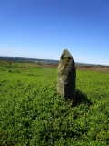
White Moor Stone, Devon
Submitted by thecaptain on Sunday, 11 May 2025 Page Views: 6954
Neolithic and Bronze AgeSite Name: White Moor Stone Alternative Name: Little Hound Tor outlier; Butler (map 40.5)Country: England
NOTE: This site is 0.662 km away from the location you searched for.
County: Devon Type: Standing Stone (Menhir)
Nearest Town: Okehampton Nearest Village: South Zeal
Map Ref: SX6335289476
Latitude: 50.688842N Longitude: 3.935865W
Condition:
| 5 | Perfect |
| 4 | Almost Perfect |
| 3 | Reasonable but with some damage |
| 2 | Ruined but still recognisable as an ancient site |
| 1 | Pretty much destroyed, possibly visible as crop marks |
| 0 | No data. |
| -1 | Completely destroyed |
| 5 | Superb |
| 4 | Good |
| 3 | Ordinary |
| 2 | Not Good |
| 1 | Awful |
| 0 | No data. |
| 5 | Can be driven to, probably with disabled access |
| 4 | Short walk on a footpath |
| 3 | Requiring a bit more of a walk |
| 2 | A long walk |
| 1 | In the middle of nowhere, a nightmare to find |
| 0 | No data. |
| 5 | co-ordinates taken by GPS or official recorded co-ordinates |
| 4 | co-ordinates scaled from a detailed map |
| 3 | co-ordinates scaled from a bad map |
| 2 | co-ordinates of the nearest village |
| 1 | co-ordinates of the nearest town |
| 0 | no data |
Internal Links:


External Links:


I have visited· I would like to visit
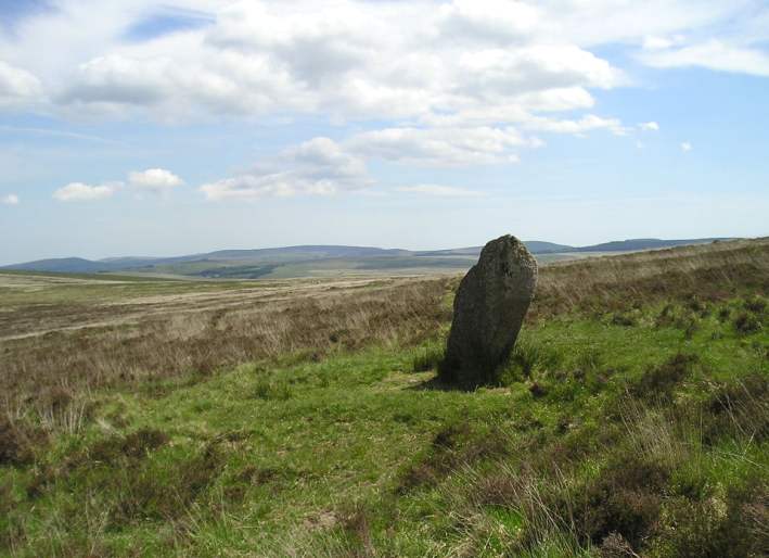
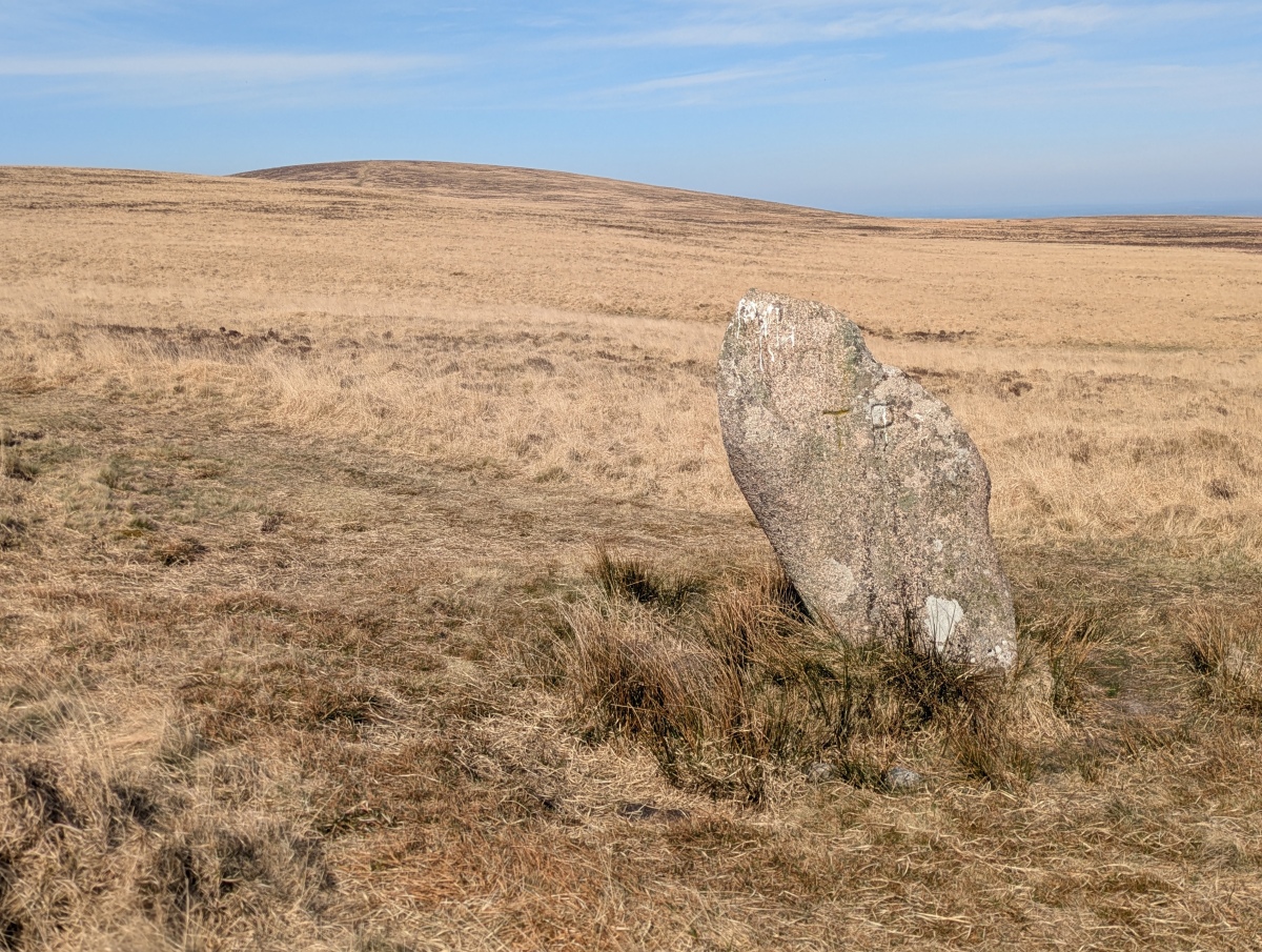
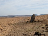
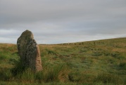
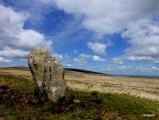
TheCaptain visited on 8th Apr 2025 Before setting off to Hound Tor, I firstly head southeast to the White Moor stone and the whole of the northeastern moor opens up in front of me, right over to Hamel Down and Hay Tor, which I was not expecting to see.
graemefield visited on 23rd Aug 2016
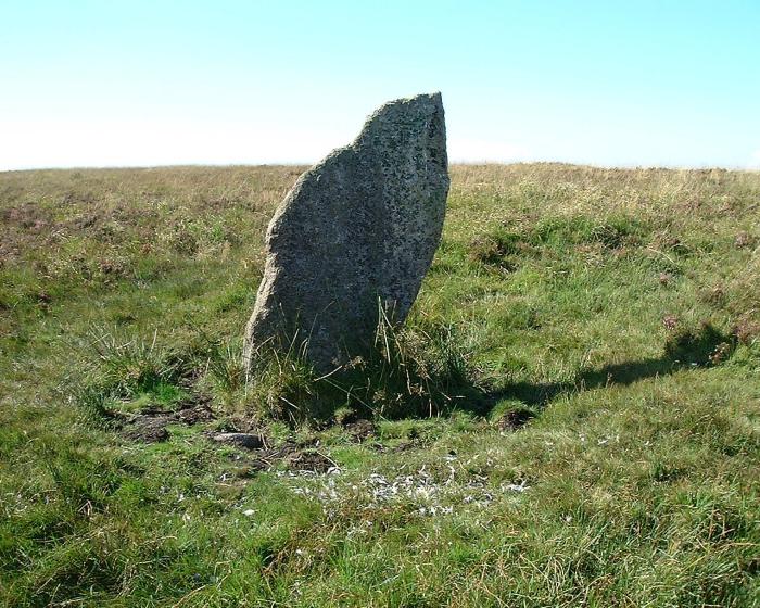
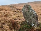
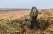
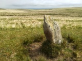
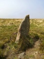
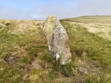
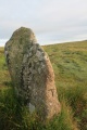
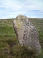
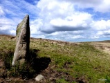
TheCaptain visited on 3rd Jun 2004 Situated on a flat saddle of land between Little Hound Tor and Hound Tor, miles away from any signs of modern life in the middle of the desolate moor, and there are views for miles around in almost all directions from the site. 150 metres southeast of the circle is the Whit Moor Stone, which is more than 5 feet in height, and has been adapted as a parish boundary stone, with its parish marks cut into it. This stone is almost certainly much older than just a boundary stone, and is likely to be associated in some way with the circle. Between this stone and the circle are the remains of a cairn.
Log in or create a free account to see how our visitors rate this site for condition, ambience and access, and to record your own visits.
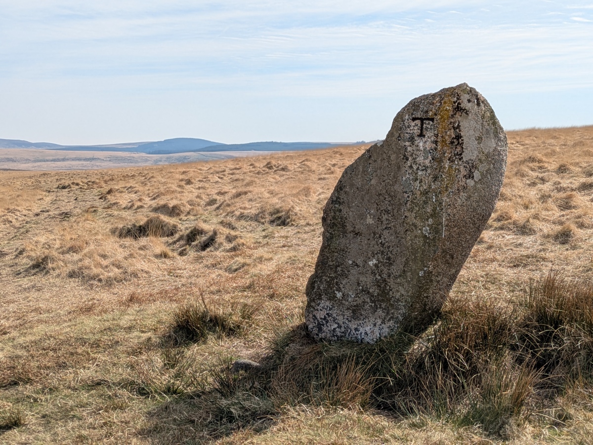
Between this stone and the circle are the remains of a cairn.
Update August 2019: This standing stone is featured on the Prehistoric Dartmoor Walks (PDW) website - see their entries for the White Moor Stone Standing Stone and the Little Hound Tor Stone Circle.
The stone is also recorded as recorded as Pastscape Monument No. 443700, as MDV4391 (White Moor Stone) on the Devon and Dartmoor HER, and scheduled as Historic England List Entry No. 1010785 (White Moor Stone).
You may be viewing yesterday's version of this page. To see the most up to date information please register for a free account.


Do not use the above information on other web sites or publications without permission of the contributor.
Click here to see more info for this site
All Nearby sites
 Click here to view sites on an interactive OS map
Download sites to:
KML (Google Earth)
GPX (GPS waypoints)
CSV (Garmin/Navman)
CSV (Excel)
To unlock full downloads you need to sign up as a Society Member. Otherwise downloads are limited to 50 sites.
Turn off the page maps and other distractions
Nearby sites listing. In the following links * = Image available
76m NW 318° White Moor Cairn* Cairn (SX6330289534)
152m NNW 330° White Moor Down* Stone Circle (SX63288961)
973m WNW 301° Metheral Hill boundary stones* Marker Stone (SX62539000)
1.3km NNW 332° White Hill, Devon* Ancient Village or Settlement (SX628906)
1.3km SE 131° Buttern W* Stone Circle (SX643886)
1.5km NW 306° Metheral Kerb Cairn* Cairn (SX62189037)
1.5km NW 307° Taw Marsh cairnfield* Barrow Cemetery (SX62159042)
1.6km NW 305° Metheral circle* Stone Circle (SX62059044)
1.9km ESE 121° Buttern E* Stone Circle (SX6493988475)
2.0km N 6° Cosdon Hill Summit Cairns* Cairn (SX63619149)
2.1km ESE 116° Buttern Hill Possible Menhir* Standing Stone (Menhir) (SX6518688544)
2.3km ESE 111° Buttern Hill Hut Circle* Ancient Village or Settlement (SX655886)
2.3km NNE 23° Cosdon Hill Cairn Circle* Stone Circle (SX64339159)
2.3km NNE 23° Cosdon Hill Multiple Stone Rows* Multiple Stone Rows / Avenue (SX64349159)
2.4km SE 125° Buttern Hill settlement* Ancient Village or Settlement (SX6531488003)
2.5km ESE 110° Gidleigh Chambered Cairn* Chambered Cairn (SX65678856)
2.6km E 100° Gidleigh North Chambered Tomb (SX6586688971)
2.6km ENE 73° Higher Shilstone Hut Circle* Ancient Village or Settlement (SX659902)
2.7km NNW 328° Belstone Dolmen* Burial Chamber or Dolmen (SX61959181)
2.7km ENE 60° Throwleigh Common prehistoric settlement and field system* Ancient Village or Settlement (SX65779078)
2.8km W 269° Oke Tor* Stone Row / Alignment (SX605895)
2.9km NW 326° Irishman’s Wall circle* Stone Circle (SX61799193)
2.9km NW 308° Winter Tor* Cist (SX6110291335)
3.0km SE 125° Gidleigh Common Cairns* Cairn (SX65748773)
3.0km SE 133° Scorhill* Stone Circle (SX65468738)
View more nearby sites and additional images


 We would like to know more about this location. Please feel free to add a brief description and any relevant information in your own language.
 Wir möchten mehr über diese Stätte erfahren. Bitte zögern Sie nicht, eine kurze Beschreibung und relevante Informationen in Deutsch hinzuzufügen.
 Nous aimerions en savoir encore un peu sur les lieux. S'il vous plaît n'hesitez pas à ajouter une courte description et tous les renseignements pertinents dans votre propre langue.
 Quisieramos informarnos un poco más de las lugares. No dude en añadir una breve descripción y otros datos relevantes en su propio idioma.