


<< Text Pages >> Meacombe Cist Landscape - Natural Stone / Erratic / Other Natural Feature in England in Devon
Submitted by AngieLake on Tuesday, 01 June 2010 Page Views: 4211
Natural PlacesSite Name: Meacombe Cist Landscape Alternative Name: Meacombe Quartz StoneCountry: England County: Devon Type: Natural Stone / Erratic / Other Natural Feature
Nearest Town: Moretonhampstead
Map Ref: SX726867
Latitude: 50.665991N Longitude: 3.804057W
Condition:
| 5 | Perfect |
| 4 | Almost Perfect |
| 3 | Reasonable but with some damage |
| 2 | Ruined but still recognisable as an ancient site |
| 1 | Pretty much destroyed, possibly visible as crop marks |
| 0 | No data. |
| -1 | Completely destroyed |
| 5 | Superb |
| 4 | Good |
| 3 | Ordinary |
| 2 | Not Good |
| 1 | Awful |
| 0 | No data. |
| 5 | Can be driven to, probably with disabled access |
| 4 | Short walk on a footpath |
| 3 | Requiring a bit more of a walk |
| 2 | A long walk |
| 1 | In the middle of nowhere, a nightmare to find |
| 0 | No data. |
| 5 | co-ordinates taken by GPS or official recorded co-ordinates |
| 4 | co-ordinates scaled from a detailed map |
| 3 | co-ordinates scaled from a bad map |
| 2 | co-ordinates of the nearest village |
| 1 | co-ordinates of the nearest town |
| 0 | no data |
Internal Links:


External Links:


I have visited· I would like to visit
AngieLake has visited here
I really DO think there's a possibility that this area was once a large ceremonial/burial complex.
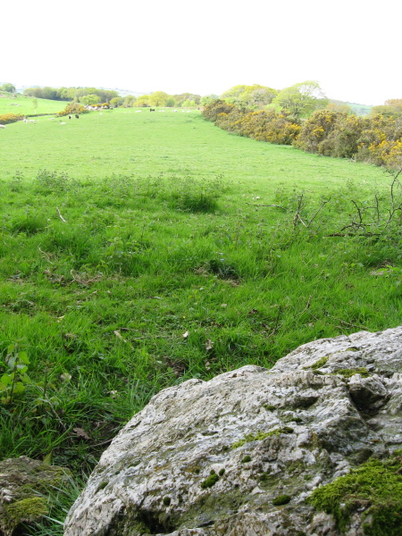
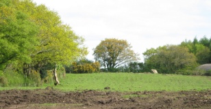
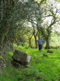
Our first investigation was of a block of quartz lying just under the southern hedge of the long field containing Meacombe Cist.
According to the OS map this stone is close to a public footpath, though to be honest, we could not see any evidence of this path.
The stone caught my eye when looking south from Meacombe Cist, so before we left the area we went to investigate.
It was a pinkish quartz, and could have possibly been a capstone, similar in size to Meacombe Cist's. One feature was a hole in the upper face, which might have been seen as 'special' if it had been used in building a tomb or other 'sacred' construction.
The second feature lay out of our reach:
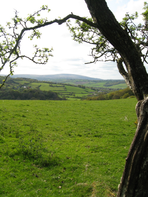
Looking over the hedge to the field further south we saw, at the far end, a huge tilted rock (a bit like a dolphin head) sticking out of the ground, with others lying prone beside it. Dartmoor being Dartmoor, this could be anything, but given the level ridge with its amazing views, and the evidence at the northern end of the ridge, nr. Meacombe Cist, of another possible ruined tomb, plus the actual remains of Meacombe Cist, and a possible cairn circle near the roadside hedge, they could all be evidence for a large complex.
The third possible feature:
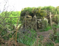
Looking over the southern hedge towards the roadside gateway just inside that field, one of the gateposts was suspiciously 'standing stone' shaped... tall and smoothly pointed.
You may be viewing yesterday's version of this page. To see the most up to date information please register for a free account.




Do not use the above information on other web sites or publications without permission of the contributor.
Click here to see more info for this site
Log in or create a free account to see nearby ancient sites our visitors rate highly
All Nearby sites
 Click here to view sites on an interactive OS map
Download sites to:
KML (Google Earth)
GPX (GPS waypoints)
CSV (Garmin/Navman)
CSV (Excel)
To unlock full downloads you need to sign up as a Society Member. Otherwise downloads are limited to 50 sites.
Turn off the page maps and other distractions
Nearby sites listing. In the following links * = Image available
230m NNW 331° Meacombe Cist* Burial Chamber or Dolmen (SX7249486904)
1.0km WSW 243° Chagford Druid's Well* Holy Well or Sacred Spring (SX71658625)
1.3km WSW 257° Shorter Cross* Ancient Cross (SX7136886437)
1.4km W 262° Week Down Cross* Ancient Cross (SX7115886534)
2.1km W 266° Natterdon Common fort* Hillfort (SX70488660)
2.5km WNW 288° Chagford Cross* Ancient Cross (SX7020187542)
2.6km S 189° Hele Cross* Ancient Cross (SX7213384164)
2.6km SE 138° Horspit Cross* Ancient Cross (SX7430684741)
2.6km NNE 27° Cranbrook Castle* Hillfort (SX7386889010)
2.7km SSW 207° Watching Place Waymarker* Marker Stone (SX7130484288)
2.8km NE 51° Butterdon Down West* Standing Stone (Menhir) (SX74788840)
2.8km SSW 206° Beetor Cross* Ancient Cross (SX7129584187)
3.0km NE 53° Butterdon Down Cairns* Barrow Cemetery (SX75028843)
3.0km ESE 101° Moretonhampstead Cross* Ancient Cross (SX7550886039)
3.1km NNE 29° Charles Cross* Ancient Cross (SX742894)
3.1km SSE 152° North Bovey* Ancient Cross (SX7399083879)
3.9km ESE 108° One Mill Bridge Cross* Ancient Cross (SX76268544)
4.0km SSW 202° Shapley Round Ancient Village or Settlement (SX71038304)
4.0km NNE 32° Prestonbury Castle* Hillfort (SX7477490045)
4.1km SSW 214° Leeper Cross* Ancient Cross (SX7022083325)
4.2km E 81° Mardon Down Ring Cairn* Ring Cairn (SX7672987264)
4.2km E 82° Mardon Down Cairn 1* Cairn (SX76768716)
4.2km E 82° Mardon Down S* Stone Circle (SX76768719)
4.2km ENE 78° The Giant's Grave Mardon Down* Cairn (SX76768746)
4.2km ENE 79° Mardon Down Cairn 3* Cairn (SX7677487432)
View more nearby sites and additional images


 We would like to know more about this location. Please feel free to add a brief description and any relevant information in your own language.
 Wir möchten mehr über diese Stätte erfahren. Bitte zögern Sie nicht, eine kurze Beschreibung und relevante Informationen in Deutsch hinzuzufügen.
 Nous aimerions en savoir encore un peu sur les lieux. S'il vous plaît n'hesitez pas à ajouter une courte description et tous les renseignements pertinents dans votre propre langue.
 Quisieramos informarnos un poco más de las lugares. No dude en añadir una breve descripción y otros datos relevantes en su propio idioma.