<< Our Photo Pages >> Ticksey How - Marker Stone in England in Yorkshire (North)
Submitted by johndhunter on Friday, 15 September 2023 Page Views: 398
Modern SitesSite Name: Ticksey HowCountry: England
NOTE: This site is 0.5 km away from the location you searched for.
County: Yorkshire (North) Type: Marker Stone
Nearest Town: Guisborough Nearest Village: Moorsholm
Map Ref: NZ6744213814
Latitude: 54.515149N Longitude: 0.959749W
Condition:
| 5 | Perfect |
| 4 | Almost Perfect |
| 3 | Reasonable but with some damage |
| 2 | Ruined but still recognisable as an ancient site |
| 1 | Pretty much destroyed, possibly visible as crop marks |
| 0 | No data. |
| -1 | Completely destroyed |
| 5 | Superb |
| 4 | Good |
| 3 | Ordinary |
| 2 | Not Good |
| 1 | Awful |
| 0 | No data. |
| 5 | Can be driven to, probably with disabled access |
| 4 | Short walk on a footpath |
| 3 | Requiring a bit more of a walk |
| 2 | A long walk |
| 1 | In the middle of nowhere, a nightmare to find |
| 0 | No data. |
| 5 | co-ordinates taken by GPS or official recorded co-ordinates |
| 4 | co-ordinates scaled from a detailed map |
| 3 | co-ordinates scaled from a bad map |
| 2 | co-ordinates of the nearest village |
| 1 | co-ordinates of the nearest town |
| 0 | no data |
Internal Links:
External Links:

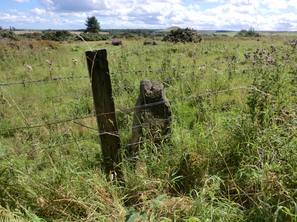
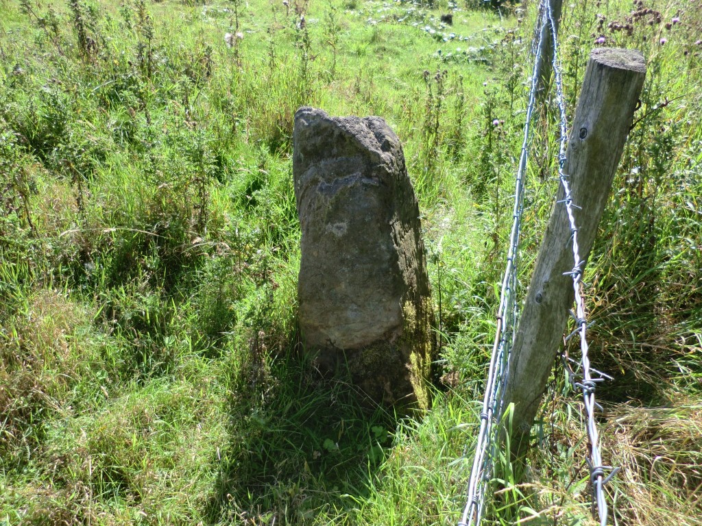
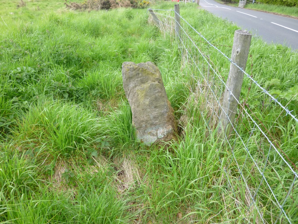
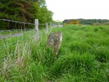
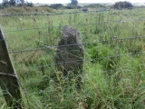
It is made of sandstone and as one would expect showing signs of weathering. It stands about 3ft tall, leaning to the east and though wider at the bottom than at the top it is very roughly square measuring about 12 inches across the middle.
On its west face it has the letter ‘S’ for Stanghow and beneath that its name ‘Tickfey how’ engraved over two lines where the ‘s’ is written in the old fashioned form that looks like an ‘f’. It marked the boundary of the former parishes of Stanghow and Moorsholm.
The ‘how’ portion of its name implies that there is a barrow / cairn close by and according to official records there is a small stone cairn about 50m to the east at NZ 6749 1377. It is described as ‘ gorse covered, 7m in diameter and 0.4m high, with larger stones visible in an excavated centre’. In fact Crawford names this cairn as Ticksey Howe – SMR 0379. It is not readily accessible and whilst on moorland / scrubland it is in an intake behind the barbed wire topped fence and a locked gate.
Note: Viewing the boundary stone - There is a lay-by on the west side of Smeathorns road just before the ‘T’ junction with the A171 and a very short walk up the road towards the cattle grid will take you to the stone. However the stone at times can be obscured / hidden, especially in the late summer if the verges haven’t been cut and you may have to be up close before you spot it.
Source Boundary Stone:
Historic England LIST ENTRY 1136518
Sources Cairn:
HERR MONUMENT 28363
Crawford G.M. 1980, “Bronze Age Burial Mounds in Cleveland” Page 43, SMR 0379.
You may be viewing yesterday's version of this page. To see the most up to date information please register for a free account.


Do not use the above information on other web sites or publications without permission of the contributor.
Click here to see more info for this site
Nearby sites
Key: Red: member's photo, Blue: 3rd party photo, Yellow: other image, Green: no photo - please go there and take one, Grey: site destroyed
Download sites to:
KML (Google Earth)
GPX (GPS waypoints)
CSV (Garmin/Navman)
CSV (Excel)
To unlock full downloads you need to sign up as a Contributory Member. Otherwise downloads are limited to 50 sites.
Turn off the page maps and other distractions
Nearby sites listing. In the following links * = Image available
1.5km NW 306° Birk Brow - Six Stoups* Marker Stone (NZ6622214686)
1.6km SW 220° Quakers Causeway RB2* Round Barrow(s) (NZ6644812607)
1.6km SW 216° Black Howes (Quakers Causeway)* Round Barrow(s) (NZ6651212491)
1.6km SW 227° Quakers Causeway RB1* Round Barrow(s) (NZ6625812679)
1.6km SSW 206° Quakers Causeway RB3* Round Barrow(s) (NZ6673312324)
1.8km S 182° Old Castle Hill* Stone Row / Alignment (NZ67391199)
1.9km SSW 197° Quakers Causeway RB4* Round Barrow(s) (NZ6689911991)
1.9km SE 129° Freebrough Hill* Natural Stone / Erratic / Other Natural Feature (NZ68971263)
2.1km SSW 195° Tod Howe* Round Barrow(s) (NZ6694911814)
2.1km SSW 207° Skelderskew Moor North East* Marker Stone (NZ6652011951)
2.1km SSW 192° Haredale Head BS1* Marker Stone (NZ6704511715)
2.2km SSE 149° Moorsholm Moor Cup Marked Rock* Rock Art (NZ6861911919)
2.2km SSE 150° Moorsholm Rigg - Enclosed Urnfield* Misc. Earthwork (NZ6858611878)
2.3km SW 226° Skelderskew Moor North Central* Marker Stone (NZ6577312174)
2.5km SSE 157° Middle Heads S2 (Dimmingdale)* Standing Stone (Menhir) (NZ6847811527)
2.5km S 181° Brown Hill RB1 (Moorsholm High Moor)* Round Barrow(s) (NZ6745511289)
2.5km SSE 159° Middle Heads C1 (Dimmingdale)* Cairn (NZ6839511454)
2.6km WSW 245° Stanghow High Moor RB1* Round Barrow(s) (NZ6511812694)
2.6km SSE 161° Middle Heads RB1 (Dimmingdale)* Round Barrow(s) (NZ6833511332)
2.7km SSE 162° Middle Heads S1 (Dimmingdale)* Marker Stone (NZ6831311302)
2.7km S 177° Low Brown Hill BS1 (Commondale)* Marker Stone (NZ6764411088)
2.8km WSW 238° Skelderskew Moor North West* Marker Stone (NZ6509812325)
2.8km S 180° Low Brown Hill Funerary Monument* Standing Stone (Menhir) (NZ6749210998)
2.9km W 261° Hob Cross (Tidkinhow Head)* Ancient Cross (NZ6458213328)
3.0km SSE 159° Job Cross (Middle Heads)* Ancient Cross (NZ6855210987)
View more nearby sites and additional images


 We would like to know more about this location. Please feel free to add a brief description and any relevant information in your own language.
 Wir möchten mehr über diese Stätte erfahren. Bitte zögern Sie nicht, eine kurze Beschreibung und relevante Informationen in Deutsch hinzuzufügen.
 Nous aimerions en savoir encore un peu sur les lieux. S'il vous plaît n'hesitez pas à ajouter une courte description et tous les renseignements pertinents dans votre propre langue.
 Quisieramos informarnos un poco más de las lugares. No dude en añadir una breve descripción y otros datos relevantes en su propio idioma.