<< Our Photo Pages >> Long Stone (IOW) - Standing Stone (Menhir) in England in Isle of Wight
Submitted by Jim_Champion on Wednesday, 20 April 2011 Page Views: 37168
Neolithic and Bronze AgeSite Name: Long Stone (IOW)Country: England County: Isle of Wight Type: Standing Stone (Menhir)
Nearest Town: Totland Nearest Village: Mottistone
Map Ref: SZ40718422 Landranger Map Number: 196
Latitude: 50.656242N Longitude: 1.425457W
Condition:
| 5 | Perfect |
| 4 | Almost Perfect |
| 3 | Reasonable but with some damage |
| 2 | Ruined but still recognisable as an ancient site |
| 1 | Pretty much destroyed, possibly visible as crop marks |
| 0 | No data. |
| -1 | Completely destroyed |
| 5 | Superb |
| 4 | Good |
| 3 | Ordinary |
| 2 | Not Good |
| 1 | Awful |
| 0 | No data. |
| 5 | Can be driven to, probably with disabled access |
| 4 | Short walk on a footpath |
| 3 | Requiring a bit more of a walk |
| 2 | A long walk |
| 1 | In the middle of nowhere, a nightmare to find |
| 0 | No data. |
| 5 | co-ordinates taken by GPS or official recorded co-ordinates |
| 4 | co-ordinates scaled from a detailed map |
| 3 | co-ordinates scaled from a bad map |
| 2 | co-ordinates of the nearest village |
| 1 | co-ordinates of the nearest town |
| 0 | no data |
Internal Links:
External Links:
I have visited· I would like to visit
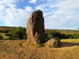
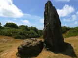
cliffrich visited on 9th Jan 2019 - their rating: Cond: 2 Amb: 3 Access: 3 A locally well known site which is used by various Pagan groups. The two stones (one standing, the other toppled) mark the Eastern end of the Longbarrow (presumeably the entrance). The barrow itself has been almost ruined by previous excavations and is difficult to pick out. Ditches around the barrow mark the sites from which material was moved to build the barrow. A local myth tells of St Catherine and the Devil who threw the two stones from St Catherine's Down and the furthest stone to land was the ruler of the Island - St Catherine won with the larger standing stone.
See video - https://youtu.be/94FoJCCGqzg
MartinJEley visited on 10th Sep 2014 - their rating: Cond: 3 Amb: 4 Access: 3 It was well worth the walk up the hill to see the stones and their view of the surrounding countryside.
Ogham visited on 21st Dec 2011 - their rating: Cond: 2 Amb: 4 Access: 3 It is a good place to visit as part of a circular walk taking in the sites on the downs above Mottistone.
Rubytuesday visited on 27th May 2010 - their rating: Amb: 4 Access: 4
goxethee visited Was there just the other day. Check out the rabbit burrows for small flints :)
Average ratings for this site from all visit loggers: Condition: 2.33 Ambience: 3.75 Access: 3.25
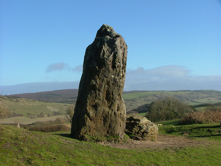
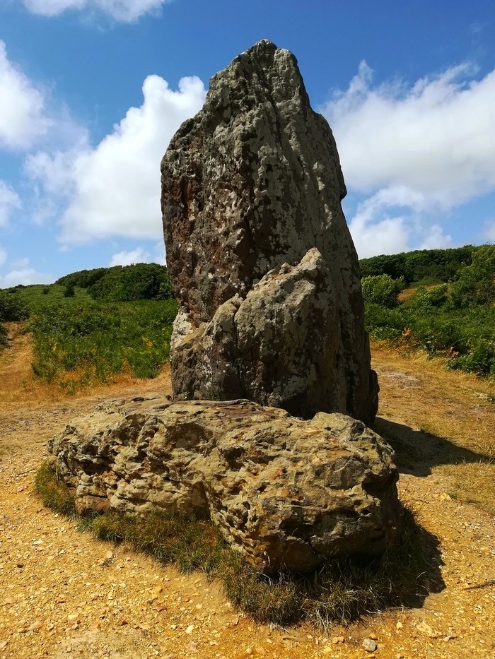
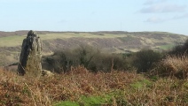
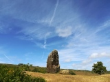
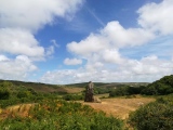
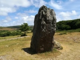
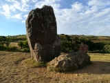
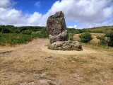
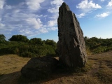
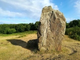
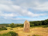
The Longstone is actually two stones - the larger one standing and the other lying next to it. Both are thought to have originally been at the eastern end of the adjacent (destroyed) long barrow on this downland overlooking the south-west coast of the Isle of Wight. There is an National Trust interpretation board nearby to the east which describes the known history of the stones and barrow, and the nearby Iron Age enclosure on Castle Hill.
The village of Mottistone gets its name from the Longstone - apparently the stone was the location of a Saxon moot, hence 'moot stone'.
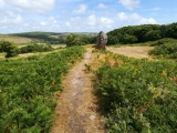
Access The stones are on the National Trust's Mottistone Estate, on Access Land to the north of Mottistone Manor. Most visitors will park at the free NT car park in Mottistone and then make the short but steep walk up the public footpath from the car park (signposted Longstone and Mottistone Downs). Where the path forks, the right fork to the stones is signposted.
You may be viewing yesterday's version of this page. To see the most up to date information please register for a free account.








These are just the first 25 photos of Long Stone (IOW). If you log in with a free user account you will be able to see our entire collection.
Do not use the above information on other web sites or publications without permission of the contributor.
Click here to see more info for this site
Nearby sites
Key: Red: member's photo, Blue: 3rd party photo, Yellow: other image, Green: no photo - please go there and take one, Grey: site destroyed
Download sites to:
KML (Google Earth)
GPX (GPS waypoints)
CSV (Garmin/Navman)
CSV (Excel)
To unlock full downloads you need to sign up as a Contributory Member. Otherwise downloads are limited to 50 sites.
Turn off the page maps and other distractions
Nearby sites listing. In the following links * = Image available
224m ESE 123° Castle Hill, Mottistone* Hillfort (SZ409841)
298m WNW 284° Mottistone Common Bowl Barrow* Round Barrow(s) (SZ40428429)
478m N 350° Mottistone Down* Barrow Cemetery (SZ40628469)
788m E 92° Black Barrow* Round Barrow(s) (SZ415842)
861m NNW 330° Chessell Down - Coombe Plantation* Round Barrow(s) (SZ4027684964)
1.2km ENE 72° East Westover Down - Tennyson Trail* Round Barrow(s) (SZ41868461)
1.3km NW 315° Pay Down* Barrow Cemetery (SZ398851)
1.7km SSW 208° Sud Moor* Round Barrow(s) (SZ399827)
1.9km NW 313° Shalcombe Manor* Round Barrow(s) (SZ393855)
2.0km WNW 300° Brook Down Five Barrows* Barrow Cemetery (SZ390852)
2.0km ENE 66° Brighstone Forest 1* Barrow Cemetery (SZ4252285049)
2.1km NW 307° Shalcombe Down* Round Barrow(s) (SZ3902285453)
2.8km NE 56° Pitts Down Field System* Ancient Village or Settlement (SZ4301885795)
3.1km WNW 292° Compton Down (IOW)* Barrow Cemetery (SZ3779685360)
3.2km ENE 75° Brighstone Forest 2* Barrow Cemetery (SZ438851)
3.4km ENE 56° Newbarn Combe Enclosures Ancient Village or Settlement (SZ435861)
3.5km ENE 74° Brighstone Forest Enclosure / Moot* Misc. Earthwork (SZ44088520)
3.6km ENE 71° Gallibury Hump* Round Barrow(s) (SZ441854)
3.8km E 90° Cheverton Farm* Round Barrow(s) (SZ4450984220)
4.3km ENE 73° Newbarn Down Barrows* Round Barrow(s) (SZ44858552)
5.0km NE 53° Round Copse* Round Barrow(s) (SZ447873)
5.7km WNW 286° Afton Down* Barrow Cemetery (SZ352857)
5.8km ESE 104° Shorwell 1* Round Barrow(s) (SZ464828)
6.1km ENE 61° Bowcombe Down* Round Barrow(s) (SZ461872)
6.7km ESE 103° Shorwell 2* Round Barrow(s) (SZ473827)
View more nearby sites and additional images


 We would like to know more about this location. Please feel free to add a brief description and any relevant information in your own language.
 Wir möchten mehr über diese Stätte erfahren. Bitte zögern Sie nicht, eine kurze Beschreibung und relevante Informationen in Deutsch hinzuzufügen.
 Nous aimerions en savoir encore un peu sur les lieux. S'il vous plaît n'hesitez pas à ajouter une courte description et tous les renseignements pertinents dans votre propre langue.
 Quisieramos informarnos un poco más de las lugares. No dude en añadir una breve descripción y otros datos relevantes en su propio idioma.