<< Our Photo Pages >> Arbor Low Earthwork - Multiple Stone Rows / Avenue in England in Derbyshire
Submitted by vicky on Friday, 29 June 2012 Page Views: 19166
Neolithic and Bronze AgeSite Name: Arbor Low EarthworkCountry: England County: Derbyshire Type: Multiple Stone Rows / Avenue
Nearest Town: Bakewell Nearest Village: Middleton
Map Ref: SK160636 Landranger Map Number: 119
Latitude: 53.169278N Longitude: 1.762112W
Condition:
| 5 | Perfect |
| 4 | Almost Perfect |
| 3 | Reasonable but with some damage |
| 2 | Ruined but still recognisable as an ancient site |
| 1 | Pretty much destroyed, possibly visible as crop marks |
| 0 | No data. |
| -1 | Completely destroyed |
| 5 | Superb |
| 4 | Good |
| 3 | Ordinary |
| 2 | Not Good |
| 1 | Awful |
| 0 | No data. |
| 5 | Can be driven to, probably with disabled access |
| 4 | Short walk on a footpath |
| 3 | Requiring a bit more of a walk |
| 2 | A long walk |
| 1 | In the middle of nowhere, a nightmare to find |
| 0 | No data. |
| 5 | co-ordinates taken by GPS or official recorded co-ordinates |
| 4 | co-ordinates scaled from a detailed map |
| 3 | co-ordinates scaled from a bad map |
| 2 | co-ordinates of the nearest village |
| 1 | co-ordinates of the nearest town |
| 0 | no data |
Internal Links:
External Links:
I have visited· I would like to visit
rvbaker2003 visited on 23rd Dec 2024 - their rating: Cond: 2 Amb: 3 Access: 4
Couplands visited on 12th Aug 2023 - their rating: Cond: 1 Amb: 4 Access: 4
Couplands visited on 4th Mar 2023 - their rating: Cond: 2 Amb: 4 Access: 4
elad13 visited on 16th Sep 2019 - their rating: Cond: 2 Amb: 4 Access: 4
lichen visited on 5th Jan 2014 - their rating: Cond: 3 Amb: 4 Access: 4
morgainelefay visited - their rating: Cond: 3 Access: 3
30081978 malboll myf AngieLake TimPrevett mark_a have visited here
Average ratings for this site from all visit loggers: Condition: 2.17 Ambience: 3.8 Access: 3.83
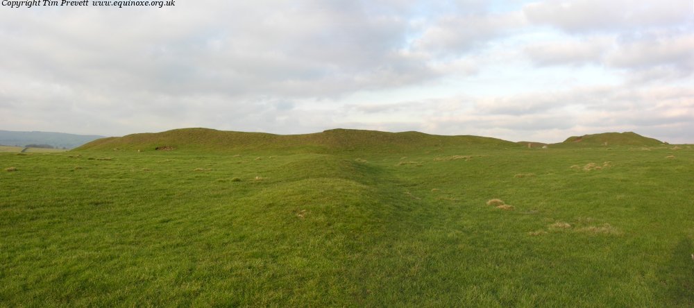
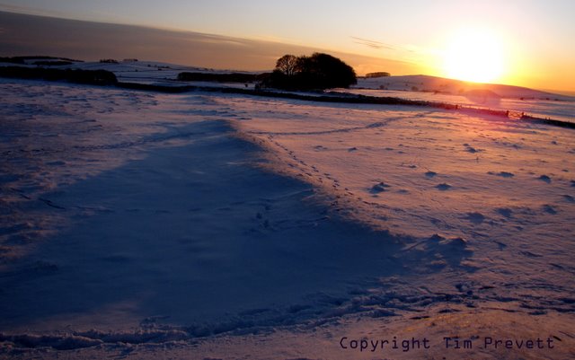
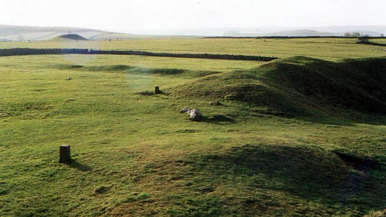
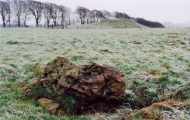
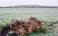
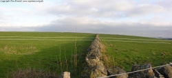
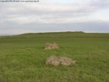
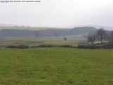
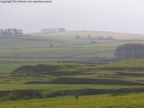
An earthwork avenue running south-south-west from the bank of the Arbor Low henge leads most of the way across the field to the Gib Hill barrow, suggesting that the two were perhaps once linked. The grassy mound itself is sometimes known as the ‘serpent’ and may have been constructed at the same time as bank of Arbor Low, although some believe it could be nothing more than a field boundary.
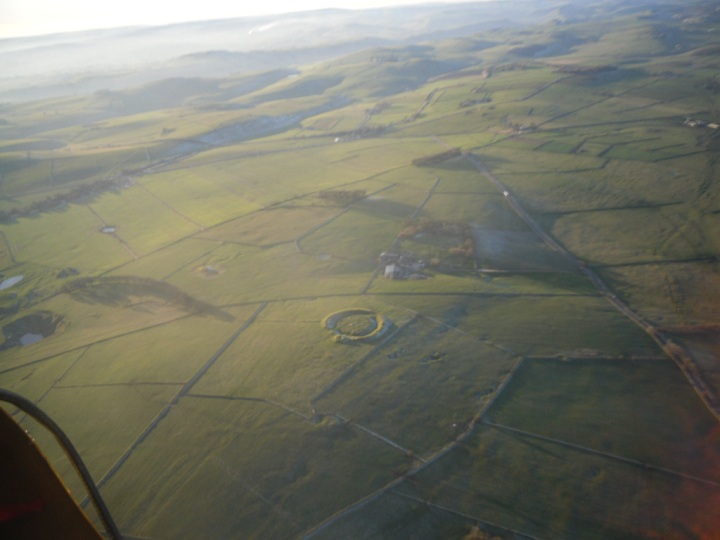
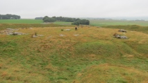
The Class II henge was built about 2500 BC and consists of a circular bank, 76m in diameter and 2.1m high, with an internal ditch around 9m wide and 1.8m deep, enclosing a central area. There are entrance causeways at the northern and southern ends. The stone circle inside consists of more than forty recumbent limestone slabs, with three lying in the very centre. These central stones form a 'cove' close to which a skeleton was found during excavations between 1901 and 1902.
That the stones are lying flat rather than standing has been explained through the actions of zealous Christians toppling them or simply that time and subsidence caused them to fall over. However, since no holes have been found in which the vertical stones would have stood, it is possible that they were never erected. Whether this was intentional or simply due to an incomplete project being abandoned, we may never know.
A large round cairn was built later in prehistory east of the henge using material taken from the earth bank. It was excavated in 1845 and found to contain a cremation burial and various grave goods which are now in Sheffield City Museum.
Note: Dr Ian Parker Heath from the Arbor Low Environs Project will be speaking at our Megalithic Portal live event in Derbyshire at the end of July
You may be viewing yesterday's version of this page. To see the most up to date information please register for a free account.





Do not use the above information on other web sites or publications without permission of the contributor.
Click here to see more info for this site
Nearby sites
Key: Red: member's photo, Blue: 3rd party photo, Yellow: other image, Green: no photo - please go there and take one, Grey: site destroyed
Download sites to:
KML (Google Earth)
GPX (GPS waypoints)
CSV (Garmin/Navman)
CSV (Excel)
To unlock full downloads you need to sign up as a Contributory Member. Otherwise downloads are limited to 50 sites.
Turn off the page maps and other distractions
Nearby sites listing. In the following links * = Image available
58m SSE 149° Arbor Low 1* Stone Circle (SK16036355)
332m SSW 213° Gib Hill* Long Barrow (SK15826332)
401m SSW 199° Gib Hill Plantation* Misc. Earthwork (SK15876322)
424m SW 225° Arbor Low 2* Henge (SK157633)
993m NE 39° Cales Dale* Round Barrow(s) (SK16636437)
1.7km WSW 253° Parsley Hay* Round Cairn (SK144631)
1.8km SW 218° Lean Low* Round Barrow(s) (SK149622)
2.2km SSW 204° Moneystones* Round Barrow(s) (SK151616)
2.3km W 270° Custard Field Farm* Round Barrow(s) (SK137636)
2.4km NNE 32° One Ash Shelter* Cave or Rock Shelter (SK17266559)
2.9km NNE 18° Ringham Low* Chambered Cairn (SK169664)
3.0km NE 53° Calling Low Dale* Cave or Rock Shelter (SK184654)
3.0km S 188° End Low* Round Barrow(s) (SK156606)
3.1km WSW 253° Carder Low* Round Barrow(s) (SK130627)
3.3km ENE 70° Bee Lowe Round Cairn (SK19166473)
3.4km ESE 113° Rusden Lowe Round Barrow(s) (SK19116231)
3.7km WSW 253° Lud well (Hartington)* Holy Well or Sacred Spring (SK125625)
3.8km NNW 342° Monyash Round Barrow 1* Round Barrow(s) (SK148672)
3.9km SE 136° Smerril Moor Chambered Cairn (SK187608)
4.1km NNW 340° Monyash Round Barrow 2 Round Barrow(s) (SK146675)
4.2km ESE 104° Larks Low Bowl Barrow* Round Barrow(s) (SK20086260)
4.2km SSW 202° Dale End* Modern Stone Circle etc (SK14455970)
4.4km SSE 160° Aleck Low* Round Barrow(s) (SK175595)
4.5km W 274° Pilsburry holed standing stone* Holed Stone (SK1148363892)
4.5km SE 138° Sites of Meaning Marker Stone, Long Dale* Modern Stone Circle etc (SK1906060254)
View more nearby sites and additional images


 We would like to know more about this location. Please feel free to add a brief description and any relevant information in your own language.
 Wir möchten mehr über diese Stätte erfahren. Bitte zögern Sie nicht, eine kurze Beschreibung und relevante Informationen in Deutsch hinzuzufügen.
 Nous aimerions en savoir encore un peu sur les lieux. S'il vous plaît n'hesitez pas à ajouter une courte description et tous les renseignements pertinents dans votre propre langue.
 Quisieramos informarnos un poco más de las lugares. No dude en añadir una breve descripción y otros datos relevantes en su propio idioma.