<< Our Photo Pages >> Longstone Cove - Standing Stones in England in Wiltshire
Submitted by Bladup on Tuesday, 18 February 2025 Page Views: 26925
Neolithic and Bronze AgeSite Name: Longstone Cove Alternative Name: Longstones Cove; Adam and Eve stones; Beckhampton AvenueCountry: England County: Wiltshire Type: Standing Stones
Nearest Town: Marlborough Nearest Village: Avebury
Map Ref: SU0888769301 Landranger Map Number: 173
Latitude: 51.422652N Longitude: 1.873578W
Condition:
| 5 | Perfect |
| 4 | Almost Perfect |
| 3 | Reasonable but with some damage |
| 2 | Ruined but still recognisable as an ancient site |
| 1 | Pretty much destroyed, possibly visible as crop marks |
| 0 | No data. |
| -1 | Completely destroyed |
| 5 | Superb |
| 4 | Good |
| 3 | Ordinary |
| 2 | Not Good |
| 1 | Awful |
| 0 | No data. |
| 5 | Can be driven to, probably with disabled access |
| 4 | Short walk on a footpath |
| 3 | Requiring a bit more of a walk |
| 2 | A long walk |
| 1 | In the middle of nowhere, a nightmare to find |
| 0 | No data. |
| 5 | co-ordinates taken by GPS or official recorded co-ordinates |
| 4 | co-ordinates scaled from a detailed map |
| 3 | co-ordinates scaled from a bad map |
| 2 | co-ordinates of the nearest village |
| 1 | co-ordinates of the nearest town |
| 0 | no data |
Internal Links:
External Links:
I have visited· I would like to visit
rvbaker2003 visited on 10th Nov 2024 - their rating: Cond: 4 Amb: 5 Access: 4
NDM visited on 1st Feb 2023 - their rating: Cond: 4 Amb: 5 Access: 4
TheCaptain visited on 18th Sep 2019 - their rating: Cond: 3 Amb: 3 Access: 4 Legs working well after the first chiro session. Back to Avebury and walked around the henge and stones before a pint in the Red Lion. Still fairly early and legs feeling good, so walked down the route of the Beckhampton Avenue to Adam and Eve and a huge longbarrow before going back To Avebury and the car.
SandyG visited on 7th Aug 2016 - their rating: Cond: 2 Amb: 4 Access: 5
trystan_hughes visited on 1st Dec 2015 - their rating: Cond: 4 Amb: 4 Access: 5
jeffrep visited on 27th May 2011 - their rating: Cond: 4 Amb: 4 Access: 4
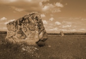
markj99 visited on 9th Feb 2011 - their rating: Cond: 3 Amb: 5 Access: 4 The two remaining stones remind me how impressive the cove and avenue would have been before all the stones were moved. We can however be grateful that Adam and Eve have survived to tell the tale.
johnstone visited on 30th Jun 2010 - their rating: Cond: 4 Amb: 4 Access: 5
graemefield saw from a distance on 1st Jan 2010 - their rating: Cond: 4 Amb: 4 Access: 3
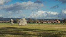
wildtalents visited on 6th Jun 2004 - their rating: Cond: 3 Amb: 4 Access: 3 In 2004 we rented a cottage in Avebury village for a week and one evening when the boys weren't complaining too much about tired legs we walked the putative route of the Beckhampton Avenue. There really are a lot of sarsens at the sides of the road, incorporated into walls, half-buried at the side of the road and so on, as well as some very swanky houses. We ended the walk near the duck pond with a fairly distant view of the Longstones, Adam and Eve, isolated in their field about two hundred yards away. By then the kids were all walked out so it seemed reasonable to turn around and leave the trespass onto the site itself for another time. They're an impressive pair of stones, on a par with the Avebury Cove stones.
TheCaptain visited on 4th Oct 1998 - their rating: Cond: 3 Amb: 3 Access: 4 Visit lots of ancient sites on a long off road cycle tour from Avebury to Windmill Hill, along the Wansdyke and back up Kennet Avenue
NickyD visited - their rating: Cond: 4 Amb: 4 Access: 5
ocifant have visited here
Average ratings for this site from all visit loggers: Condition: 3.5 Ambience: 4.08 Access: 4.17
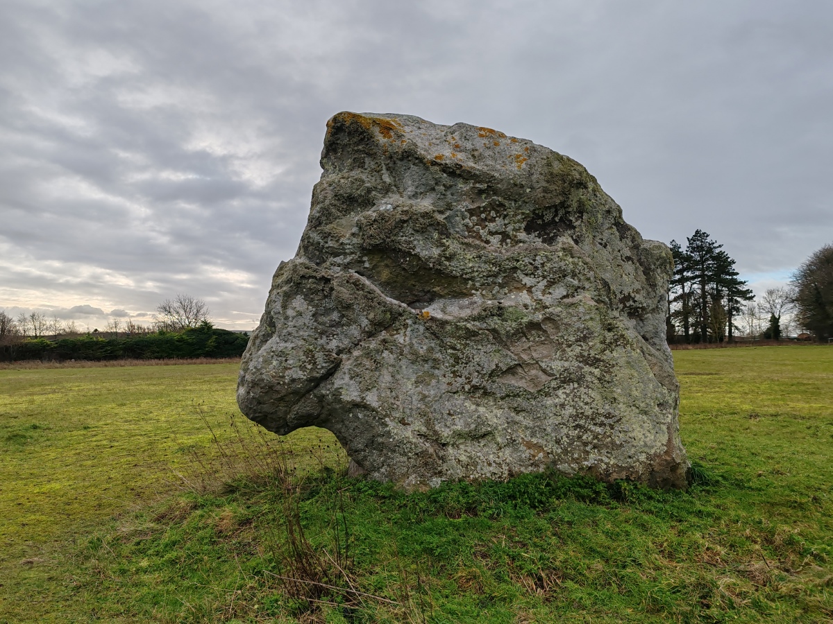
The Pastscape record for this monument number 215601 tells us: "Beckhampton Avenue, an avenue of stones which, according to Stukeley, extended from the west entrance of Avebury across the Winterbourne, and on in a south-westerly direction south of the Long Stones ... one of which could have probably formed part of the Avenue, to a spot in the valley west of Beckhampton (SU 100690 to SU 082688, see plans and called by him Beckhampton Avenue. Stukeley considered its length equal to that of the West Kennet Avenue, with the transverse and longitudinal intervals of the stones similar. By the time Stukeley made his plans there remained only thirty-odd stones (all but three recumbent) some in pairs, out of possibly two hundred, and by the end of the 18th century nothing remained except the Long Stones."
According to the Modern Antiquarian record for this site, two stones from where this avenue met the main stone circle have been removed and sit opposite the churchyard, with others being incorporated into the bridge over the Winterbourne stream.
Update September 2019: This 'substantial stone row' is featured on the Stone Rows of Great Britain's website - see their entry for the Beckhampton Avenue, which includes a description, photographs, a simplified plan of the alignment and associated monuments, access information and links to other online resources for more information.
This site is also scheduled as Historic England List ID 1008104 (Avebury Long Stones 380m east of The Grange Stables, Beckhampton): "The stones are all that is known to survive of the suspected Beckhampton Avenue".
Page originally by Vicky.
You may be viewing yesterday's version of this page. To see the most up to date information please register for a free account.
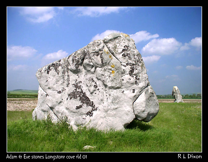
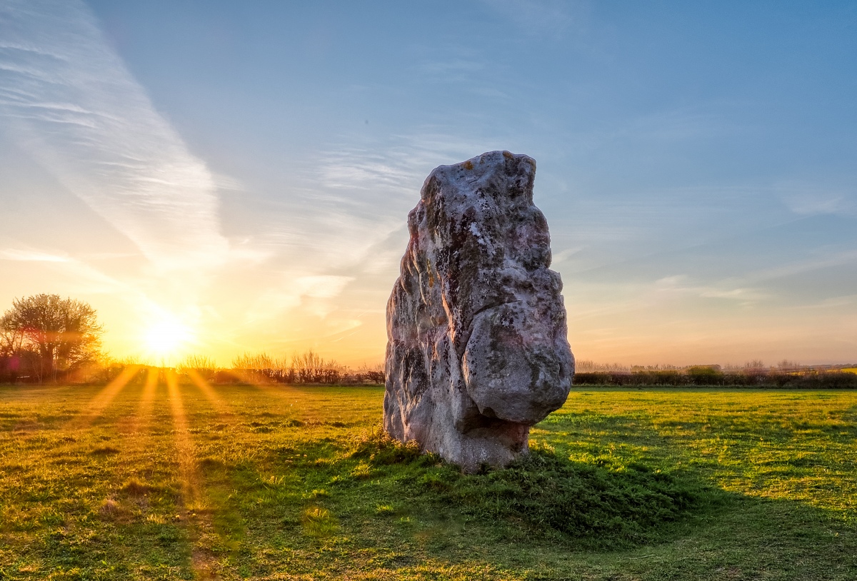
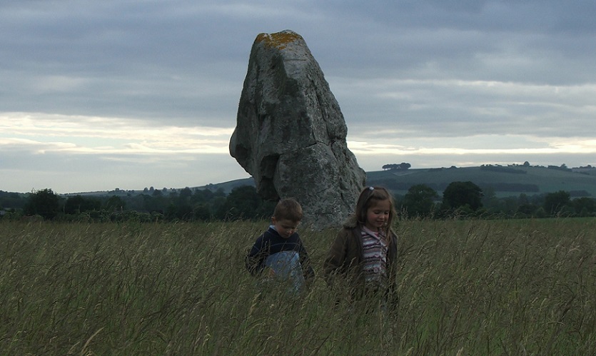
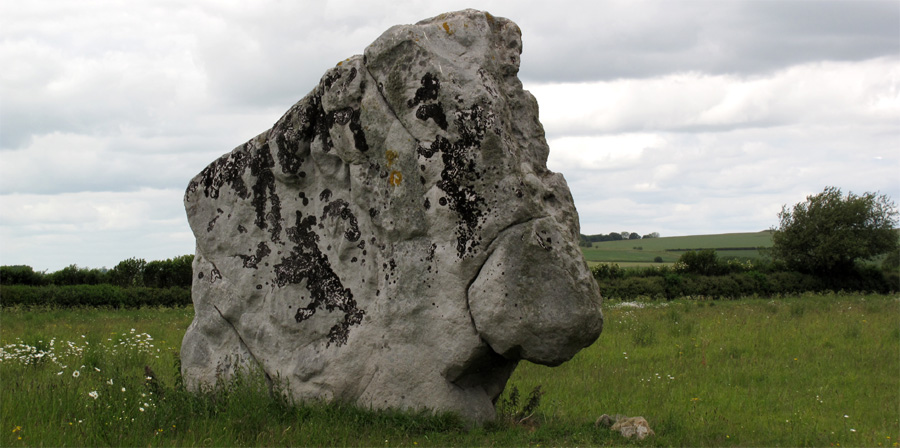
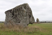
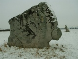
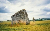
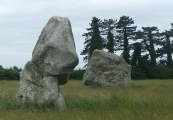
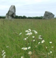
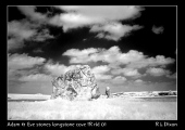


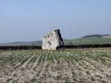
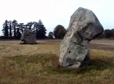
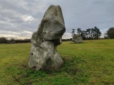
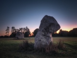
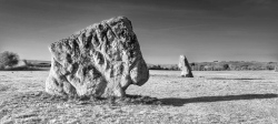
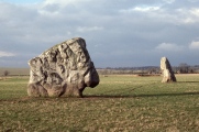

These are just the first 25 photos of Longstone Cove. If you log in with a free user account you will be able to see our entire collection.
Do not use the above information on other web sites or publications without permission of the contributor.
Click here to see more info for this site
Nearby sites
Key: Red: member's photo, Blue: 3rd party photo, Yellow: other image, Green: no photo - please go there and take one, Grey: site destroyed
Download sites to:
KML (Google Earth)
GPX (GPS waypoints)
CSV (Garmin/Navman)
CSV (Excel)
To unlock full downloads you need to sign up as a Contributory Member. Otherwise downloads are limited to 50 sites.
Turn off the page maps and other distractions
Nearby sites listing. In the following links * = Image available
117m ESE 105° South Street Long Barrow* Chambered Tomb (SU09006927)
246m SW 229° Longstones Barrow* Long Barrow (SU08706914)
397m WSW 257° South of Penning Barn* Round Barrow(s) (SU08506921)
546m W 268° North of The Grange Round Barrow(s) (SU08346928)
1.2km ENE 66° Alexander Keiller Museum* Museum (SU100698)
1.2km NNW 346° Horslip Long Barrow* Long Barrow (SU0858970503)
1.3km ENE 59° St. James's Church (Avebury) Ancient Cross (SU0997669968)
1.4km SE 125° Silbury Hill* Artificial Mound (SU10016853)
1.4km SW 235° Beckhampton Bowl Barrow Round Barrow(s) (SU07726847)
1.5km WSW 247° Fox Covert Barrows* Barrow Cemetery (SU07536873)
1.5km ENE 64° Avebury* Stone Circle (SU10266996)
1.5km ENE 62° Avebury - The Cove* Standing Stones (SU10257002)
1.6km WSW 245° Fox Covert Bowl Barrows Barrow Cemetery (SU07416861)
1.6km W 267° Knoll Down Barrows* Barrow Cemetery (SU0725369219)
1.7km E 84° West Kennet Avenue polisher* Polissoir (SU10576947)
1.7km SE 135° Swallowhead Spring* Holy Well or Sacred Spring (SU101681)
1.8km E 91° West Kennet Avenue* Multiple Stone Rows / Avenue (SU10696928)
1.8km SSW 211° Bishops Cannings 88 Bell Barrow* Round Barrow(s) (SU0793367741)
1.9km SW 214° Bishops Cannings 89 Bowl Barrow* Round Barrow(s) (SU0785467757)
1.9km WNW 287° Bowl Barrow, north of Knoll Down Round Barrow(s) (SU0707269838)
2.0km SE 137° West Kennet Barrow* Round Barrow(s) (SU10246788)
2.0km WNW 291° Cherhill Cursus Cursus (SU07057000)
2.0km ESE 119° Silbaby* Misc. Earthwork (SU1062668354)
2.0km N 352° Picket Barrow* Round Barrow(s) (SU086713)
2.1km N 353° Windmill Hill Barrows* Round Barrow(s) (SU08637135)
View more nearby sites and additional images


 We would like to know more about this location. Please feel free to add a brief description and any relevant information in your own language.
 Wir möchten mehr über diese Stätte erfahren. Bitte zögern Sie nicht, eine kurze Beschreibung und relevante Informationen in Deutsch hinzuzufügen.
 Nous aimerions en savoir encore un peu sur les lieux. S'il vous plaît n'hesitez pas à ajouter une courte description et tous les renseignements pertinents dans votre propre langue.
 Quisieramos informarnos un poco más de las lugares. No dude en añadir una breve descripción y otros datos relevantes en su propio idioma.