<< Our Photo Pages >> Burdhope (Rochester) - Ancient Village or Settlement in England in Northumberland
Submitted by Anne T on Tuesday, 11 July 2017 Page Views: 2613
Multi-periodSite Name: Burdhope (Rochester) Alternative Name: Birdhope (Rochester)Country: England County: Northumberland Type: Ancient Village or Settlement
Nearest Town: Otterburn Nearest Village: Rochester
Map Ref: NY8128098584
Latitude: 55.281030N Longitude: 2.296245W
Condition:
| 5 | Perfect |
| 4 | Almost Perfect |
| 3 | Reasonable but with some damage |
| 2 | Ruined but still recognisable as an ancient site |
| 1 | Pretty much destroyed, possibly visible as crop marks |
| 0 | No data. |
| -1 | Completely destroyed |
| 5 | Superb |
| 4 | Good |
| 3 | Ordinary |
| 2 | Not Good |
| 1 | Awful |
| 0 | No data. |
| 5 | Can be driven to, probably with disabled access |
| 4 | Short walk on a footpath |
| 3 | Requiring a bit more of a walk |
| 2 | A long walk |
| 1 | In the middle of nowhere, a nightmare to find |
| 0 | No data. |
| 5 | co-ordinates taken by GPS or official recorded co-ordinates |
| 4 | co-ordinates scaled from a detailed map |
| 3 | co-ordinates scaled from a bad map |
| 2 | co-ordinates of the nearest village |
| 1 | co-ordinates of the nearest town |
| 0 | no data |
Internal Links:
External Links:
I have visited· I would like to visit
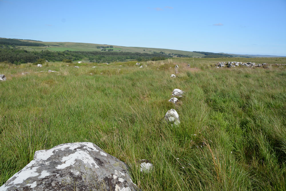
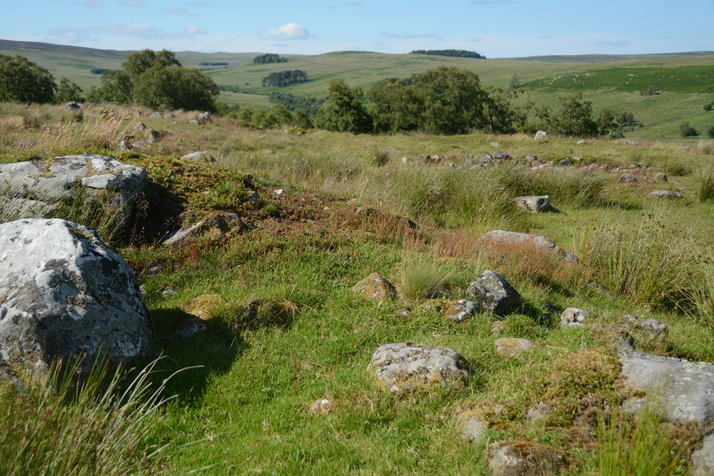
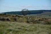
Anne T visited on 8th Jul 2017 - their rating: Cond: 2 Amb: 5 Access: 3 Burdhope Hill Village, Rochester, Northumberland: After having stopped at the Camien Café for refreshments, we headed off into the hot sun again. This time it was only a few hundred metres up the road. There was a small layby at the side of the road opposite Woolaw Farm entrance. Crossing the road was fun as you could hear the roar of the motorbikes and cars coming from a fair distance, then they zoomed past, the rush of air lifting my hair. A quick run across the road was safely achieved.
Andrew had found out from friends who visit Trig Points that the only footbridge across the river was at Woolaw Farm, so we walked down the track and joined the footpath just west of the farm house.
The grass is tussocky and some parts of the field are boggy, other parts cut by modern field drains, but it wasn’t too challenging a walk (for me).
The monument is on access land, although it has been fenced off to protect it. As the gate into the field was at the top of the hill, we took a short cut by climbing through the barbed wire fence. We must have spent an hour wandering around, trying to interpret the different bits. Fascinating!
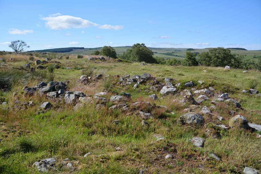
Described as a large settlement or hill village, very little is known about this site, although a partial excavation was carried out in 1977 when pottery, part of a glass bangle, a jet bead and part of a quern stone were found. Burdhope was originally a Romano-British settlement, was later re-used in medieval times, then a later croft was built into the site.
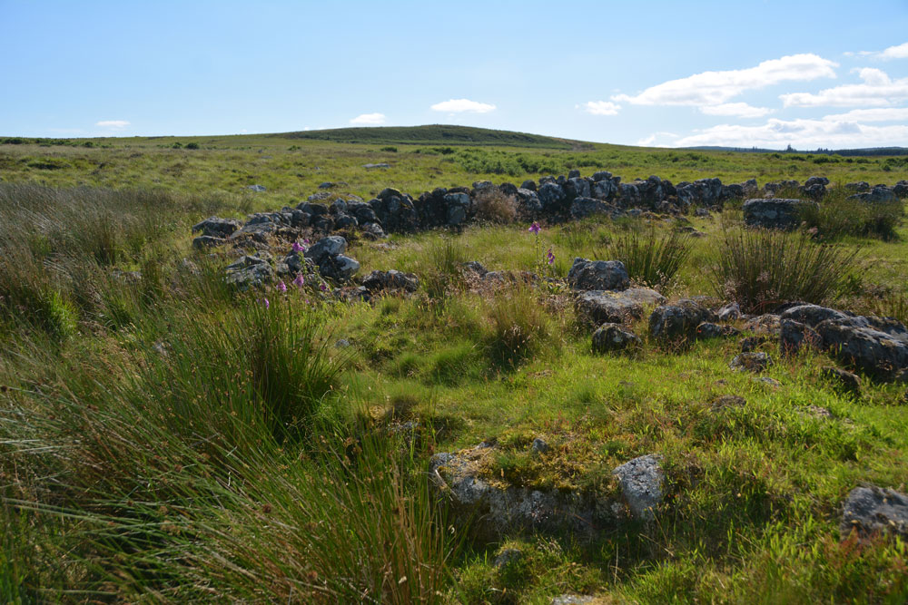
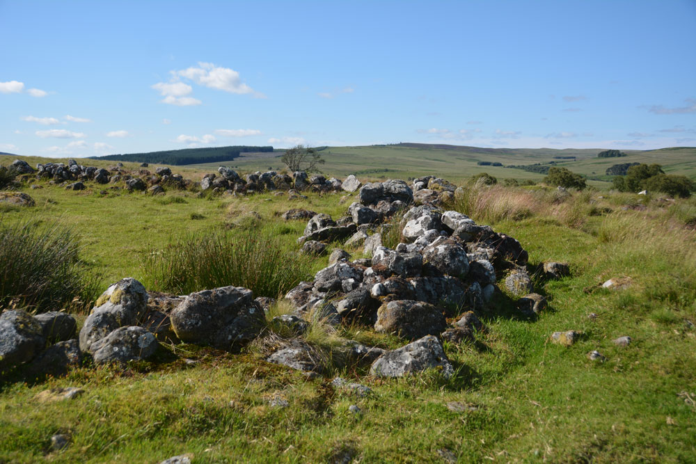
The site originally comprised at least five enclosures, each containing 1 or 2 huts with a courtyard. Some of the boundary walls between these yards are shared and each enclosure is said to have contained one family unit. These are later cut by long houses, one of which measures 44.0 metres long.
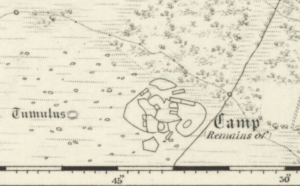
The structure of the site is complex, but can be seen on the OS map of 1836. The outlines of the shapes match the aerial view on UK Grid Reference Finder and Google Earth.
More information can be found on both Pastscape Monument No. 17256 and Historic England List Entry 1009373.
The settlement is on access land although is has been fenced off to protect it. We understand from friends that some of the footbridges marked on the OS map no longer exist, but we used the footbridge to Woolaw farm, joining the footpath just west of the farm house. The path runs parallel to the River Rede and the field is cut by modern drainage ditches and is boggy in parts. Reaching a fenceline by a small wood near Burdhope, we then followed the fenceline up the hill until we saw the settlement. The gate into the field is towards the top of the hill, but as the ground was so boggy, we stepped over the fence to gain access to the monument.
You may be viewing yesterday's version of this page. To see the most up to date information please register for a free account.
Do not use the above information on other web sites or publications without permission of the contributor.
Click here to see more info for this site
Nearby sites
Key: Red: member's photo, Blue: 3rd party photo, Yellow: other image, Green: no photo - please go there and take one, Grey: site destroyed
Download sites to:
KML (Google Earth)
GPX (GPS waypoints)
CSV (Garmin/Navman)
CSV (Excel)
To unlock full downloads you need to sign up as a Contributory Member. Otherwise downloads are limited to 50 sites.
Turn off the page maps and other distractions
Nearby sites listing. In the following links * = Image available
1.7km ESE 104° Rochester (Otterburn)* Modern Stone Circle etc (NY8293998149)
1.7km NNW 338° Bellshiel Law 2f Rock Art (NT8064400188)
1.9km N 9° Bellshiel Law 2e Rock Art (NT8158800501)
2.0km N 7° Bellshiel Law 2a Rock Art (NT8154200601)
2.0km N 7° Bellshiel Law 2b Rock Art (NT8154600609)
2.0km N 6° Bellshiel Law 2d Rock Art (NT8150600619)
2.0km N 7° Bellshiel Law 2c Rock Art (NT8153400619)
2.5km N 352° Bellshiel Law 1a Rock Art (NT8094901039)
2.5km N 2° Bellshiel Law 1f Rock Art (NT8138001120)
2.5km N 2° Bellshiel Law 1e Rock Art (NT8138401127)
2.6km N 2° Bellshiel Law 1d Rock Art (NT8135801135)
2.6km E 99° Bremenium Roman tumulus* Artificial Mound (NY8384098165)
2.6km N 1° Bellshiel Law* Chambered Cairn (NT8131601173)
2.6km N 357° Bellshiel Law 1c Rock Art (NT8116001200)
2.6km N 357° Bellshiel Law 1b Rock Art (NT8116001204)
2.7km N 356° Bellshiel Law 1g Rock Art (NT8111801331)
4.1km NNW 330° Dour Hill (Rochester)* Chambered Cairn (NT79230212)
4.1km NNW 329° Dour Hill Long Cairn a Rock Art (NT7920302130)
4.1km NNW 329° Dour Hill Long Cairn d & e Rock Art (NT7920002140)
4.1km NNW 330° Dour Hill Long Cairn b* Rock Art (NT7920302142)
4.1km NNW 329° Dour Hill Long Cairn c* Rock Art (NT7917002158)
4.4km NW 311° Byrness Forest Office Site Rock Art (NT7794101470)
4.5km WNW 301° Three Kings* Stone Circle (NT7742500922)
4.6km ESE 108° Yatesfield Hill (Otterburn)* Standing Stone (Menhir) (NY8563297177)
4.7km ESE 101° Yatesfield (Otterburn)* Ancient Village or Settlement (NY85939763)
View more nearby sites and additional images


 We would like to know more about this location. Please feel free to add a brief description and any relevant information in your own language.
 Wir möchten mehr über diese Stätte erfahren. Bitte zögern Sie nicht, eine kurze Beschreibung und relevante Informationen in Deutsch hinzuzufügen.
 Nous aimerions en savoir encore un peu sur les lieux. S'il vous plaît n'hesitez pas à ajouter une courte description et tous les renseignements pertinents dans votre propre langue.
 Quisieramos informarnos un poco más de las lugares. No dude en añadir una breve descripción y otros datos relevantes en su propio idioma.