<< Our Photo Pages >> Northdown (Dorset) - Barrow Cemetery in England in Dorset
Submitted by JimChampion on Thursday, 05 December 2024 Page Views: 8454
Neolithic and Bronze AgeSite Name: Northdown (Dorset)Country: England County: Dorset Type: Barrow Cemetery
Nearest Town: Dorchester Nearest Village: Sutton Poyntz
Map Ref: SY708848
Latitude: 50.662134N Longitude: 2.414492W
Condition:
| 5 | Perfect |
| 4 | Almost Perfect |
| 3 | Reasonable but with some damage |
| 2 | Ruined but still recognisable as an ancient site |
| 1 | Pretty much destroyed, possibly visible as crop marks |
| 0 | No data. |
| -1 | Completely destroyed |
| 5 | Superb |
| 4 | Good |
| 3 | Ordinary |
| 2 | Not Good |
| 1 | Awful |
| 0 | No data. |
| 5 | Can be driven to, probably with disabled access |
| 4 | Short walk on a footpath |
| 3 | Requiring a bit more of a walk |
| 2 | A long walk |
| 1 | In the middle of nowhere, a nightmare to find |
| 0 | No data. |
| 5 | co-ordinates taken by GPS or official recorded co-ordinates |
| 4 | co-ordinates scaled from a detailed map |
| 3 | co-ordinates scaled from a bad map |
| 2 | co-ordinates of the nearest village |
| 1 | co-ordinates of the nearest town |
| 0 | no data |
Internal Links:
External Links:
I have visited· I would like to visit
TimPrevett JimChampion have visited here
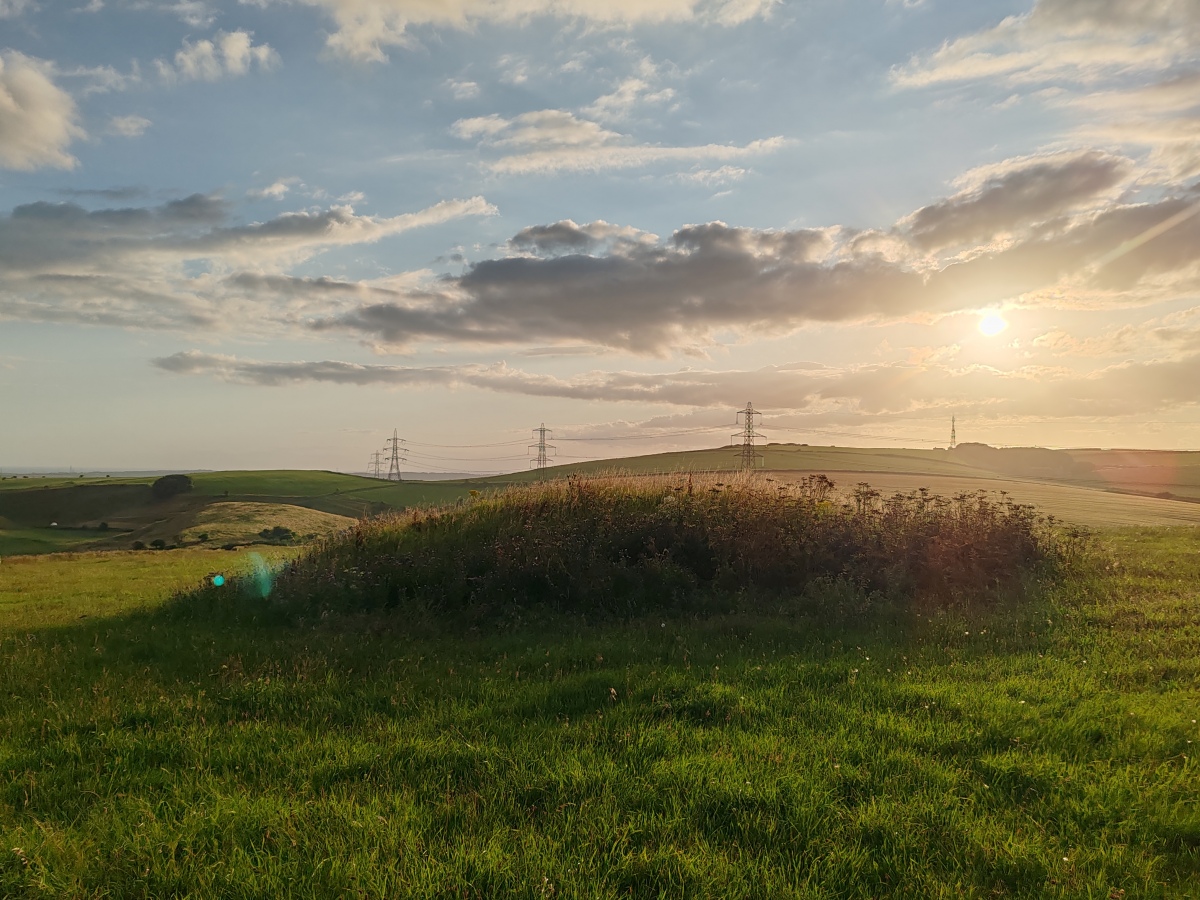
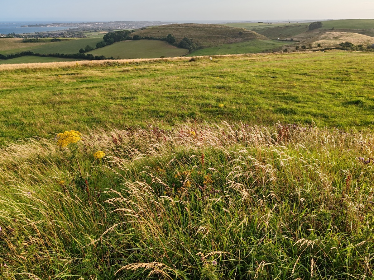
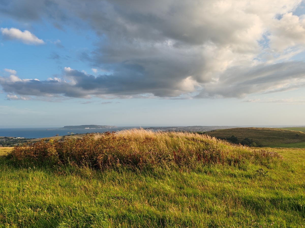
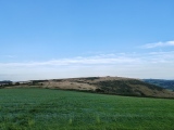
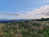
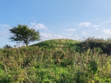
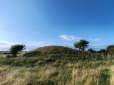
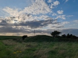
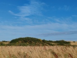
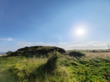
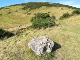
Some of the barrows survive intact, some have a good covering of gorse, and others have been all but lost under the plough.
Access The inland South-West Coast Path passes alongside these barrows between Green Hill and White Horse Hill. Any approach along footpaths from the south (e.g. from Sutton Poyntz) will involve a very steep walk up the cliff. From the north side on top of the downs take the appropriately named Chalky Road (from Broadmayne or Bincombe) and at the Poor Lot bank barrow turn down a very rutted and potholed chalk track. If your vehicle survives, there is room to park on the verge by Northdown Barn.
You may be viewing yesterday's version of this page. To see the most up to date information please register for a free account.
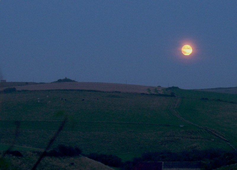
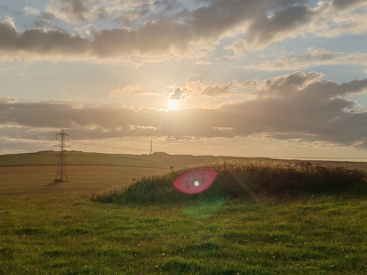
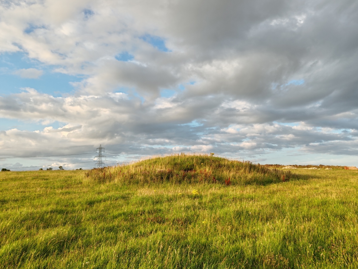
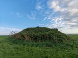
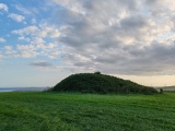
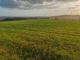
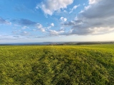
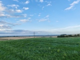
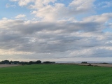
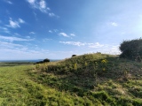
These are just the first 25 photos of Northdown (Dorset). If you log in with a free user account you will be able to see our entire collection.
Do not use the above information on other web sites or publications without permission of the contributor.
Click here to see more info for this site
Nearby sites
Key: Red: member's photo, Blue: 3rd party photo, Yellow: other image, Green: no photo - please go there and take one, Grey: site destroyed
Download sites to:
KML (Google Earth)
GPX (GPS waypoints)
CSV (Garmin/Navman)
CSV (Excel)
To unlock full downloads you need to sign up as a Contributory Member. Otherwise downloads are limited to 50 sites.
Turn off the page maps and other distractions
Nearby sites listing. In the following links * = Image available
780m NW 310° Broadmayne Bank Barrow* Long Barrow (SY702853)
1.3km NW 318° Whitcombe 1* Long Barrow (SY699858)
1.6km SW 232° Chalbury* Hillfort (SY695838)
1.9km W 267° Bincombe Barrows* Barrow Cemetery (SY689847)
2.5km NNE 28° Little Mayne* Stone Circle (SY720870)
2.6km NW 305° Came Down* Barrow Cemetery (SY687863)
3.0km WNW 287° Bincombe Down* Barrow Cemetery (SY679857)
3.0km WNW 293° Winterborne Came 18b (Bincombe) Cairn (SY680860)
3.6km NNE 14° Whitcombe* Standing Stone (Menhir) (SY717883)
3.7km WNW 285° Ridgeway Hill* Barrow Cemetery (SY672858)
3.9km ESE 108° Poxwell Cairn* Cairn (SY74518357)
4.2km NNW 345° Conygar Hill Barrows* Barrow Cemetery (SY697889)
4.3km NNW 328° Herringston Long Barrow* Long Barrow (SY68548844)
4.3km NNW 327° Herringston Bowl Barrow* Round Barrow(s) (SY68478842)
4.7km ESE 119° Southdown (Dorset)* Barrow Cemetery (SY749825)
4.7km W 275° Upwey Wishing Well* Holy Well or Sacred Spring (SY661852)
4.8km WNW 291° Upwey Ridgeway* Barrow Cemetery (SY66298659)
5.1km N 355° Flagstones Enclosure* Causewayed Enclosure (SY704899)
5.2km N 349° Fordington (Two Barrows) Barrow* Barrow Cemetery (SY69888987)
5.2km N 2° Mount Pleasant (Dorset)* Henge (SY710900)
5.3km WNW 296° Ashton Farm Bowl Barrows Barrow Cemetery (SY66088717)
5.3km NW 313° Maiden Castle Causewayed Enclosure* Causewayed Enclosure (SY66938848)
5.3km NW 313° Maiden Castle (Dorset)* Hillfort (SY66908846)
5.4km NW 313° Maiden Castle Bank Barrow* Long Barrow (SY66928850)
5.4km NNW 340° Maumbury Rings* Henge (SY69018992)
View more nearby sites and additional images


 We would like to know more about this location. Please feel free to add a brief description and any relevant information in your own language.
 Wir möchten mehr über diese Stätte erfahren. Bitte zögern Sie nicht, eine kurze Beschreibung und relevante Informationen in Deutsch hinzuzufügen.
 Nous aimerions en savoir encore un peu sur les lieux. S'il vous plaît n'hesitez pas à ajouter une courte description et tous les renseignements pertinents dans votre propre langue.
 Quisieramos informarnos un poco más de las lugares. No dude en añadir una breve descripción y otros datos relevantes en su propio idioma.