Featured: Hare and Tabor T Shirts for discerning antiquarians

Hare and Tabor T Shirts for discerning antiquarians

Random Image


Pergamon

A Guide to Stone Circles (New Edition), Aubrey Burl

A Guide to Stone Circles (New Edition), Aubrey Burl

Who's Online

There are currently, 201 guests and 1 members online.

You are a guest. To join in, please register for free by clicking here

Sponsors

<< Our Photo Pages >> Mount Pleasant (Dorset) - Henge in England in Dorset

Submitted by TimPrevett on Saturday, 11 April 2020  Page Views: 26260

Neolithic and Bronze AgeSite Name: Mount Pleasant (Dorset) Alternative Name: Conquer Barrow
Country: England County: Dorset Type: Henge
Nearest Town: Dorchester
Map Ref: SY710900
Latitude: 50.708905N  Longitude: 2.412072W
Condition:
5Perfect
4Almost Perfect
3Reasonable but with some damage
2Ruined but still recognisable as an ancient site
1Pretty much destroyed, possibly visible as crop marks
0No data.
-1Completely destroyed
3 Ambience:
5Superb
4Good
3Ordinary
2Not Good
1Awful
0No data.
3 Access:
5Can be driven to, probably with disabled access
4Short walk on a footpath
3Requiring a bit more of a walk
2A long walk
1In the middle of nowhere, a nightmare to find
0No data.
4 Accuracy:
5co-ordinates taken by GPS or official recorded co-ordinates
4co-ordinates scaled from a detailed map
3co-ordinates scaled from a bad map
2co-ordinates of the nearest village
1co-ordinates of the nearest town
0no data
3

Internal Links:
External Links:

Mount Pleasant (Dorset)
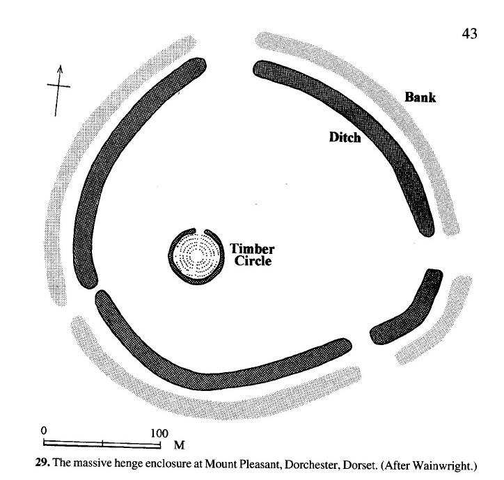
Mount Pleasant (Dorset) submitted by AngieLake : A plan of how Mount Pleasant henge would have looked, on p. 43 of 'Neolithic Britain', a 'Shire Archaeology' booklet by Joshua Pollard, pub 2002. His caption reads "After Wainwright". It will help to have this on our site page to make sense of the large empty field (ie: perhaps the 'bumps' in one of my photos are traces of the terminal banks at the SE 'entrance'?) (Vote or comment on this photo)
Henge, Barrows and Timber circle in Dorset. Conquer Barrow sits in the extreme west side of the field containing Mount Pleasant henge and overlies the henge earthworks on the western side. Quoting Martyn Barber, Historic England Aerial survey: "Three barrows were already known - the massive Conquer Barrow, which either sits on the henge's western bank or was already standing and incorporated within the henge bank when the latter was built, is the most obvious. The remains of two more normally proportioned mounds lie to the south-east of the henge."

Note: For the last several years Doug Rocks MacQueen has been relentlessly recording papers presented at various archaeology conferences. There are many hundreds now to choose from. Don't be put off by the academic jargon, there's some fascinating stuff here. See below, and more of my prehistory picks are in our forum
You may be viewing yesterday's version of this page. To see the most up to date information please register for a free account.
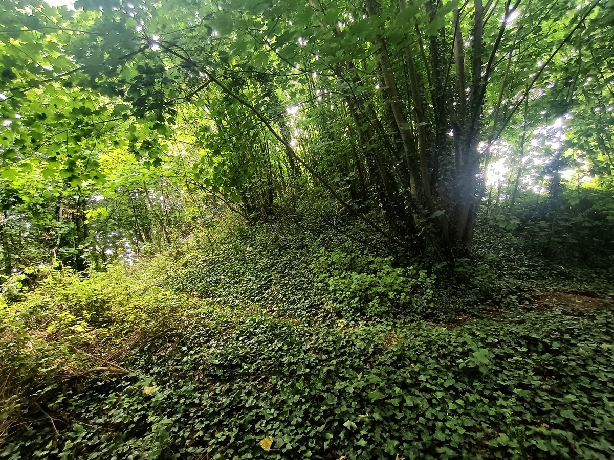
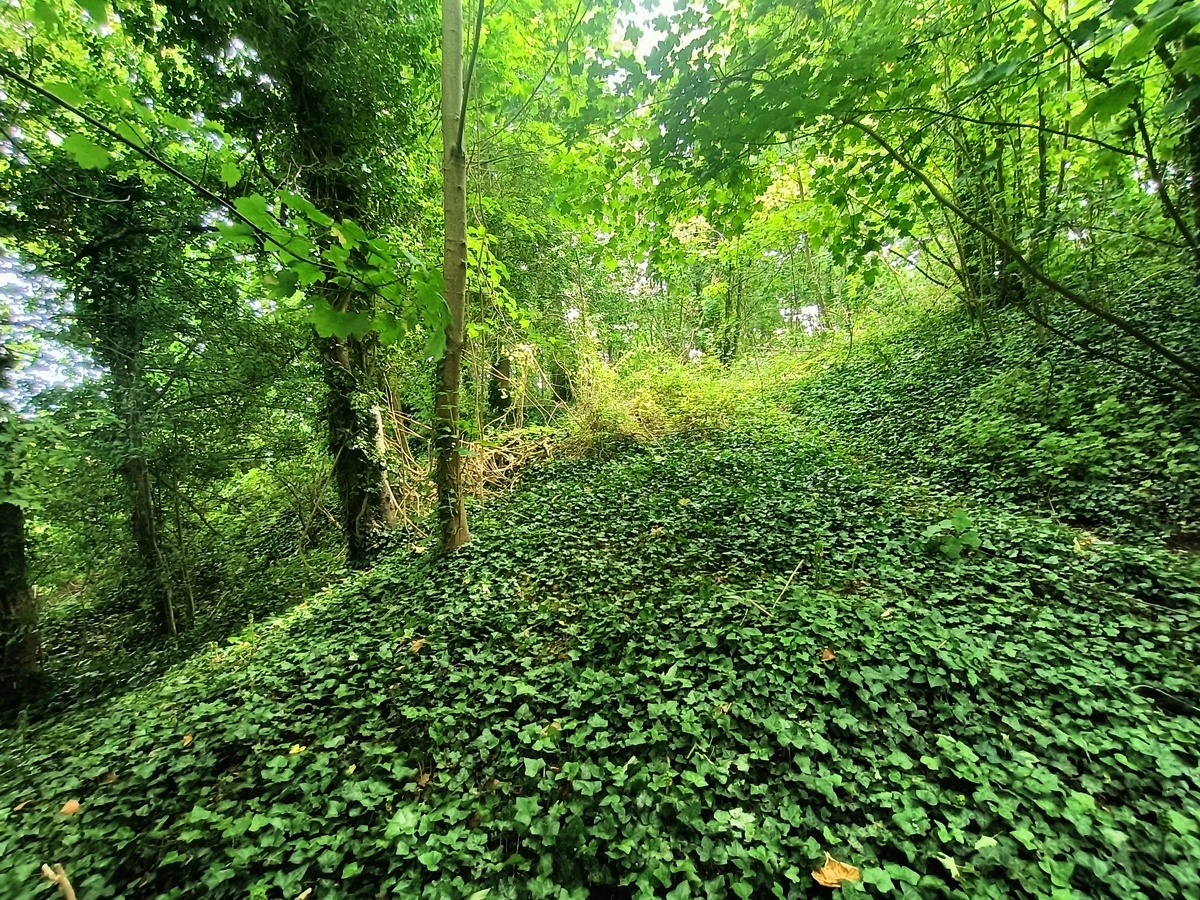
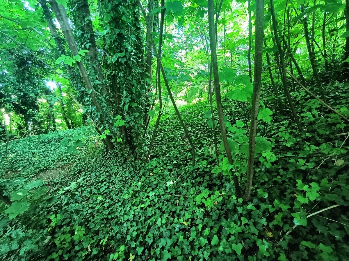
Mount Pleasant (Dorset)
Mount Pleasant (Dorset) submitted by Bladup : Conquer Barrow, I believe this photo shows that the barrow was built on the bank of the henge (and not the bank built around the barrow) (Vote or comment on this photo)

Mount Pleasant (Dorset)
Mount Pleasant (Dorset) submitted by Bladup : On the right is the slope of Conquer Barrow next the bank of the henge, I believe the barrow was built on the bank of the henge, As you can see from this photo If it wasn't built on the bank the barrow is huge (Vote or comment on this photo)

Mount Pleasant (Dorset)
Mount Pleasant (Dorset) submitted by Bladup : On the left is the bank of the henge and on the right is the slope of Conquer Barrow (Vote or comment on this photo)

Mount Pleasant (Dorset)
Mount Pleasant (Dorset) submitted by Bladup : Conquer Barrow (Vote or comment on this photo)

Mount Pleasant (Dorset)
Mount Pleasant (Dorset) submitted by Bladup : Conquer Barrow in the trees from the South (Vote or comment on this photo)

Mount Pleasant (Dorset)
Mount Pleasant (Dorset) submitted by Bladup : The overgrown Conquer Barrow

Mount Pleasant (Dorset)
Mount Pleasant (Dorset) submitted by Bladup : Trying to show part of the remaining henge bank

Mount Pleasant (Dorset)
Mount Pleasant (Dorset) submitted by Bladup : Looking over the site from the South, The Conquer Barrow is in the trees on the left, The slight hump of the old henge bank can be seen on the right

Mount Pleasant (Dorset)
Mount Pleasant (Dorset) submitted by Bladup : The overgrown Conquer Barrow

Mount Pleasant (Dorset)
Mount Pleasant (Dorset) submitted by Bladup : The henge bank, This place would have been a big un (Henge)

Mount Pleasant (Dorset)
Mount Pleasant (Dorset) submitted by Bladup : Looking East over the interior of the henge and in the foreground over the site of the timber circle

Mount Pleasant (Dorset)
Mount Pleasant (Dorset) submitted by Bladup : Conquer Barrow hiding in the trees

Mount Pleasant (Dorset)
Mount Pleasant (Dorset) submitted by Bladup : On the right is the bank of the henge and on the right is Conquer Barrow, I believe the barrow was built on the bank of the henge, If it wasn't it's huge, If it was it's a normal sized barrow, My money is on the latter

Mount Pleasant (Dorset)
Mount Pleasant (Dorset) submitted by Bladup : Looking over the Southern Part of Mount Pleasant Henge

Mount Pleasant (Dorset)
Mount Pleasant (Dorset) submitted by Bladup : Looking down from on Conquer Barrow towards the line of the remaining bank

Mount Pleasant (Dorset)
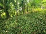
Mount Pleasant (Dorset) submitted by Bladup : Looking down off the Conquer Barrow

Mount Pleasant (Dorset)
Mount Pleasant (Dorset) submitted by Bladup : Looking West over the site of the timber Circle towards the treed Conquer Barrow

Mount Pleasant (Dorset)
Mount Pleasant (Dorset) submitted by Bladup : Conquer Barrow is hard to see from this angle because of the trees

Mount Pleasant (Dorset)
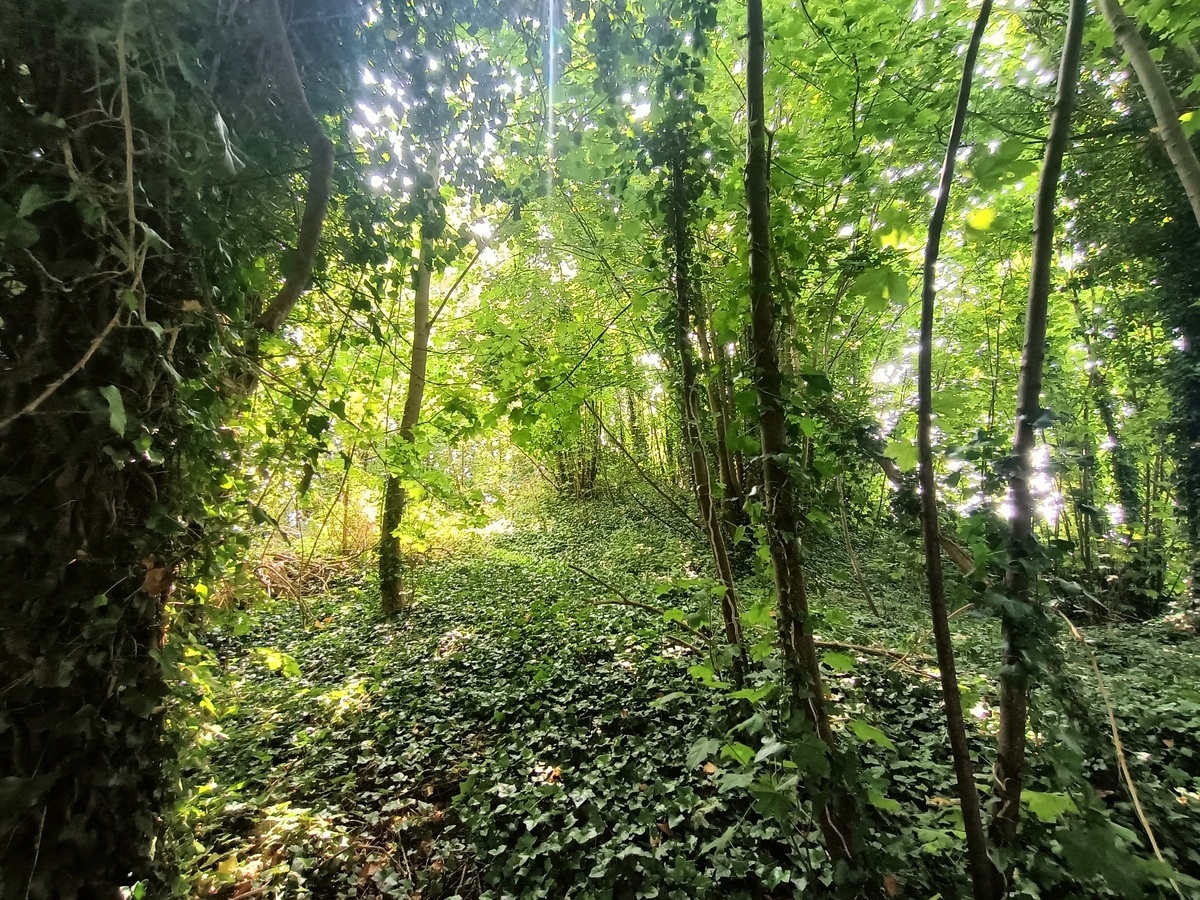
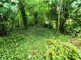
Mount Pleasant (Dorset) submitted by Bladup : The bank of the henge is very well preserved under the trees at the Westen end, If only the rest was this well preserved, On the right you can just see the mound of Conquer Barrow starting, There's some debate as to whether the barrow was built on the bank or the bank built around it, I believe my photo's prove it was certainly built on the already there bank of this massive henge

Mount Pleasant (Dorset)
Mount Pleasant (Dorset) submitted by AngieLake : This is where I parked in the shade of a hot mid-day while looking for access to Mt Pleasant henge's field. It is at the SE of the housing estate and one can follow the lane, which curves around to the right to join the main road's footpath and cycle way. Field gate a couple of hundred yards along north edge of that roadside and nowhere obvious to park a car. (I'd driven around the housing esta... (1 comment)

Mount Pleasant (Dorset)
Mount Pleasant (Dorset) submitted by AngieLake : Conquer Barrow from the field gate. It sits in the extreme west side of the field containing Mount Pleasant henge and "overlies the henge earthworks on the western side". Quoting Martyn Barber, EH Aerial survey: "Three barrows were already known - the massive Conquer Barrow, which either sits on the henge's western bank or was already standing and incorporated within the henge bank when the lat...

Mount Pleasant (Dorset)
Mount Pleasant (Dorset) submitted by AngieLake : The zoomed in shot of 'bumps' in the corn, showing possible bank, or break in bank, of the henge in SE of field. A good time to conduct an aerial survey.

Mount Pleasant (Dorset)
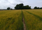
Mount Pleasant (Dorset) submitted by AngieLake : Looking east along the field I saw a bumpy feature in the field. The next shot will be zoomed in on this. Aerial survey done before harvesting might be useful!

Mount Pleasant (Dorset)
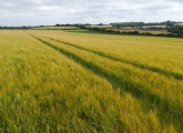
Mount Pleasant (Dorset) submitted by AngieLake : Fields of Gold: the site of Mount Pleasant henge beside the main road, accessible via a footpath and cycleway along north pavement. (Meg P's access to Streetmap was invaluable working out how to find this site. I parked in dead-end road to SE edge of housing estate and walked from closed end of road via 'Public footpath'. One could not explore the field because of the crop.)

These are just the first 25 photos of Mount Pleasant (Dorset). If you log in with a free user account you will be able to see our entire collection.

Do not use the above information on other web sites or publications without permission of the contributor.
Click here to see more info for this site

Nearby sites

Click here to view sites on an interactive OS map

Key: Red: member's photo, Blue: 3rd party photo, Yellow: other image, Green: no photo - please go there and take one, Grey: site destroyed

Download sites to:
KML (Google Earth)
GPX (GPS waypoints)
CSV (Garmin/Navman)
CSV (Excel)

To unlock full downloads you need to sign up as a Contributory Member. Otherwise downloads are limited to 50 sites.

Wicker Screen by Phil Dunn


Turn off the page maps and other distractions

Nearby sites listing. In the following links * = Image available
 607m W 260° Flagstones Enclosure* Causewayed Enclosure (SY704899)
 1.1km W 263° Fordington (Two Barrows) Barrow* Barrow Cemetery (SY69888987)
 1.7km SW 229° Conygar Hill Barrows* Barrow Cemetery (SY697889)
 1.8km WNW 289° Dorchester, Tudor Arcade* Timber Circle (SY693906)
 1.8km SSE 157° Whitcombe* Standing Stone (Menhir) (SY717883)
 2.0km W 267° Maumbury Rings* Henge (SY69018992)
 2.0km WNW 290° Dorset County Museum* Museum (SY691907)
 2.2km WNW 295° Dorchester Roman Town House* Ancient Village or Settlement (SY68969095)
 2.6km ENE 59° Heedless William's Stone* Standing Stone (Menhir) (SY732913)
 2.9km WSW 237° Herringston Long Barrow* Long Barrow (SY68548844)
 3.0km WSW 238° Herringston Bowl Barrow* Round Barrow(s) (SY68478842)
 3.0km WNW 292° Poundbury* Hillfort (SY68199113)
 3.2km SSE 161° Little Mayne* Stone Circle (SY720870)
 3.2km NE 51° Rainbarrows* Round Barrow(s) (SY735920)
 4.3km WSW 257° Maiden Castle Linear Earthwork Misc. Earthwork (SY66798902)
 4.3km WSW 249° Maiden Castle Causewayed Enclosure* Causewayed Enclosure (SY66938848)
 4.3km WSW 249° Maiden Castle Bank Barrow* Long Barrow (SY66928850)
 4.3km SSW 194° Whitcombe 1* Long Barrow (SY699858)
 4.4km SSW 211° Came Down* Barrow Cemetery (SY687863)
 4.4km WSW 249° Maiden Castle (Dorset)* Hillfort (SY66908846)
 4.4km W 259° Lanceborough Enclosure Misc. Earthwork (SY66658920)
 4.5km W 259° Maiden Castle Barrow Cemetery* Barrow Cemetery (SY666892)
 4.5km W 262° Maiden Castle Long Barrow 2 Long Barrow (SY66578938)
 4.5km WNW 295° Bradford Peverell 2* Long Barrow (SY669919)
 4.6km WSW 255° Maiden Castle Long Barrow 1 Long Barrow (SY66518879)
View more nearby sites and additional images

<< Dwarf of Dobšice

Walesby All Saints church carvings >>

Please add your thoughts on this site

Prehistoric Dorset

Prehistoric Dorset

Archived Web links for Mount Pleasant (Dorset)

Wicker Screen by Phil Dunn

Sponsors

Auto-Translation (Google)

Translate from English into:

"Mount Pleasant (Dorset)" | Login/Create an Account | 12 News and Comments
  
Go back to top of page    Comments are owned by the poster. We aren't responsible for their content.
Re: Mount Pleasant (Dorset) by TimPrevett on Friday, 19 March 2021
(User Info | Send a Message)
A video I made from a walk to Mount Pleasant Henge from Weymouth on New Year's Eve.

[ Reply to This ]

Re: Mount Pleasant Article and Aerial View from early 70s excavation. by AngieLake on Thursday, 05 November 2020
(User Info | Send a Message)
Just noticed this in daily mail online:

https://www.dailymail.co.uk/sciencetech/article-8916765/Archaeology-Mount-Pleasant-mega-henge-Dorset-built-125-years.html

There's a good aerial view which might make interpreting the site easier.
[ Reply to This ]

Re: Mount Pleasant by drolaf on Thursday, 23 April 2020
(User Info | Send a Message)
Mount Pleasant was an amazing site. Not just a massive outer ditch with pallisade, but the timber circles at site 1V. gives a good idea of the scale on which they were working
[ Reply to This ]

More Doug's Archaeology Conference Talk Videos by Andy B on Saturday, 11 April 2020
(User Info | Send a Message)
For the last several years Doug Rocks MacQueen has been relentlessly recording papers presented at various archaeology conferences including TAG (Theoretical Archaeology Group). There are many hundreds now to choose from. Don't be put off by the academic jargon, there's some fascinating stuff here. Some more of my prehistory picks are in our forum:
https://www.megalithic.co.uk/modules.php?op=modload&name=Forum&file=viewtopic&topic=8257&forum=1
[ Reply to This ]

Video Talk: Thoughts on constructing narratives using precise chronologies by Andy B on Saturday, 11 April 2020
(User Info | Send a Message)
The Spiral of Interpretation: Thoughts on constructing narratives using precise chronologies - Susan Greaney (Cardiff University/English Heritage)

It is now ten years since the publication of the chronologies of early Neolithic long barrows project (Bayliss and Whittle 2007), which can be credited with bringing to wide attention the possibilities of using Bayesian analysis of radiocarbon dates to produce robust and precise chronological models. Since then, the methodology has been applied widely in British and Irish archaeology, initially to the early Neolithic and more recently to other periods such as the Iron Age and Anglo-Saxon. A recent volume of World Archaeology (Pettit and Zilhao 2015) was dedicated to reviewing the rapid spread of Bayesian approaches and reflected concerns from a number of period experts and dating specialists that flawed models were being published and uncritically accepted by the wider discipline. In particular, the responsibility of archaeologists in rigorously selecting and clearly justifying the archaeological samples and their association information (priors) was highlighted, and the need for archaeologists and statisticians to work together to refine and model alternative interpretations of the archaeological evidence was emphasised. This paper takes the critique one step further, particularly discussing how these models affect the sort of narratives that we construct for the past and what they can mean for the ‘hermeneutic spiral’ of understanding.

The late Neolithic henge monument of Mount Pleasant in Dorset will be used as an example in this discussion, with an exploration of previous theoretical narratives of this monument and how they relate to our changing understanding of the chronology of the site. ‘Events’, such as the start and end of construction of a monument, or duration of use of a cemetery, are the easiest questions to define, but are they our only research questions? What about the rates of change and the tempo of processes? How easy is it to compare between sites or map changes in material culture? Similarly, once Bayesian models are published, how are these being used in the construction of archaeological narratives? Are our discussions of human agency, memory and history becoming more nuanced to reflect the new precision? Archaeologists have a responsibility to use the models from these dating projects responsibly and wisely, with a good understanding of the methodologies behind them.

https://youtu.be/y1wDq_NyfP0

[ Reply to This ]
    Evidence for the deliberate construction of a historic narrative in the Neolithic by Andy B on Saturday, 11 April 2020
    (User Info | Send a Message)
    Revealing a Prehistoric Past: Evidence for the deliberate construction of a historic narrative in the British Neolithic - Anne Teather (UCL)

    Over the past decade, event based narratives have become a norm in discussions of the British Neolithic. Statistical analyses of radiocarbon dates, combined with a detailed approach to individual contexts, have produced chronological resolutions that have enabled a greater understanding of the construction and use of some monuments. While these have been informative, they include interpretive nomenclature with terms such as 'outliers' and 'residuality' applied to data that does not agree with other data. Not only are these terms untheorised and their meanings unclear, they could be said to create a ghetto for dates that are not useful for Bayesian analysis, or any other analysis. This paper argues that this position is inadvertently ignoring evidence of wider cultural understandings. In particular, evidence of the deliberate inclusion of already old bone in Neolithic deposits has been identified, in dates rejected from Bayesian statistical analyses. This is argued to represent a cultural practice that may suggest a complex social reinforcement of Neolithic beliefs at their time of deposition that created a manufactured history of domesticity for Neolithic people.

    https://youtu.be/jy9ol3r8U1g
    [ Reply to This ]

A Difficult Relationship: Conquer Barrow and Mount Pleasant By Martyn Barber by Andy B on Friday, 20 July 2018
(User Info | Send a Message)
Needs a separate entry for Conquer Barrow really:

A DIFFICULT RELATIONSHIP: CONQUER BARROW AND MOUNT PLEASANT By Martyn Barber
Conquer Barrow sits immediately outside and to the west of the large “henge enclosure”known as Mount Pleasant, which is located on the eastern edge of modern Dorchester, Dorset. The mound’s flat summit, 7m in diameter, stands approximately 8mabove the surrounding ground surface. The base of the mound is around 30m in diameter. The mound has an interesting relationship with the henge. As MikePitts put it, “Conquer Barrow at first sight appears to stand on the henge bank”. In fact, the general consensus until quite recently has been that the mound was indeed built onto the enclosure’s outer bank, although their relationship has never been explored below the turf.

More:
Barber, M, H Winton, C Stoertz, E Carpenter, L Martin (2010) The Brood of Silbury? A remote look at some other sizeable Wessex mounds; in J Leary & D Field (eds) Round Mounds and Monumentality in the British Neolithic and Beyond, 153-173 (Oxbow Books: Oxford)
https://www.academia.edu/2653565/
[ Reply to This ]

Mount Pleasant 3D model by Andy B on Friday, 26 April 2013
(User Info | Send a Message)
A model of the timber circle found within the Mount Pleasant Henge Complex on the outskirts of Dorchester.

http://sketchup.google.com/3dwarehouse/details?mid=1f3564a3e051e90887d843da81b91233&ct=mdsa&prevstart=0

More details
http://digitaldigging.net/models/mount-pleasant-timber-circle.html

Created by Henry Rothwell of Digital Digging
[ Reply to This ]

Re: Mount Pleasant by coldrum on Wednesday, 31 March 2010
(User Info | Send a Message)
Street View


View Larger Map
[ Reply to This ]

Re: Mount Pleasant by coldrum on Monday, 29 June 2009
(User Info | Send a Message)
Pastscape entry:

http://www.pastscape.org.uk/hob.aspx?hob_id=453935
[ Reply to This ]

Re: Mount Pleasant by coldrum on Monday, 29 June 2009
(User Info | Send a Message)
Conquer Barrow Pastscape site entry:

http://www.pastscape.org.uk/hob.aspx?hob_id=453934
[ Reply to This ]
    Conquer Barrow by Andy B on Thursday, 05 October 2017
    (User Info | Send a Message)
    The most conspicuous earthwork in the vicinity, this lies on the western edge of the
    henge enclosure itself, and stands up to 8 metres above the modern ground surface.
    Conquer Barrow (AMIE uid 453934) was the feature that first led to speculation about
    the Mount Pleasant enclosure being of potential Neolithic date, as the mound appeared
    to overlie, and therefore post-date, the enclosure’s earthwork bank (Piggott & Piggott
    1939, 158, and below p44). Wainwright too considered it to have been built on top of
    the henge enclosure bank, although others, partly on the basis of Wainwright’s own
    excavated evidence, have disagreed (e.g. Sparey-Green 1984; Pitts 2000, 280-1; Barber et al 2010).
    [ Reply to This ]

Your Name: Anonymous [ Register Now ]
Subject:


Add your comment or contribution to this page. Spam or offensive posts are deleted immediately, don't even bother

<<< What is five plus one as a number? (Please type the answer to this question in the little box on the left)
You can also embed videos and other things. For Youtube please copy and paste the 'embed code'.
For Google Street View please include Street View in the text.
Create a web link like this: <a href="https://www.megalithic.co.uk">This is a link</a>  

Allowed HTML is:
<p> <b> <i> <a> <img> <em> <br> <strong> <blockquote> <tt> <li> <ol> <ul> <object> <param> <embed> <iframe>

We would like to know more about this location. Please feel free to add a brief description and any relevant information in your own language.
Wir möchten mehr über diese Stätte erfahren. Bitte zögern Sie nicht, eine kurze Beschreibung und relevante Informationen in Deutsch hinzuzufügen.
Nous aimerions en savoir encore un peu sur les lieux. S'il vous plaît n'hesitez pas à ajouter une courte description et tous les renseignements pertinents dans votre propre langue.
Quisieramos informarnos un poco más de las lugares. No dude en añadir una breve descripción y otros datos relevantes en su propio idioma.