<< Our Photo Pages >> Clifton Stones - Standing Stones in England in Cumbria
Submitted by nicoladidsbury on Sunday, 01 April 2007 Page Views: 16545
Neolithic and Bronze AgeSite Name: Clifton StonesCountry: England County: Cumbria Type: Standing Stones
Nearest Town: Penrith Nearest Village: Clifton
Map Ref: NY53132593 Landranger Map Number: 90
Latitude: 54.626318N Longitude: 2.727474W
Condition:
| 5 | Perfect |
| 4 | Almost Perfect |
| 3 | Reasonable but with some damage |
| 2 | Ruined but still recognisable as an ancient site |
| 1 | Pretty much destroyed, possibly visible as crop marks |
| 0 | No data. |
| -1 | Completely destroyed |
| 5 | Superb |
| 4 | Good |
| 3 | Ordinary |
| 2 | Not Good |
| 1 | Awful |
| 0 | No data. |
| 5 | Can be driven to, probably with disabled access |
| 4 | Short walk on a footpath |
| 3 | Requiring a bit more of a walk |
| 2 | A long walk |
| 1 | In the middle of nowhere, a nightmare to find |
| 0 | No data. |
| 5 | co-ordinates taken by GPS or official recorded co-ordinates |
| 4 | co-ordinates scaled from a detailed map |
| 3 | co-ordinates scaled from a bad map |
| 2 | co-ordinates of the nearest village |
| 1 | co-ordinates of the nearest town |
| 0 | no data |
Internal Links:
External Links:
I have visited· I would like to visit
Anne T visited on 3rd Jul 2016 - their rating: Cond: 3 Amb: 4 Access: 3 Clifton Stones, near Penrith, Cumbria: These standing stones are only a short distance from Trainford Brow Long Barrow. There is a side road opposite Mount Clifton farm which allows for parking of one car on the grass verge. It was interesting crossing the A6 as cars sped along in both directions; however, sight lines were good. We followed the footpath through Mount Clifton farm (heavily mired with fresh cow dung). This path was gated, as they had a huge (but placid) bull in the barn yard with his ladies. The mire gave onto a tarmacked pathway leading to Tinkler’s Lane Bridge over the M6. It was then easy walking down to the field containing these two standing stones.
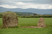
With a brilliant view of the North Pennines to the east and the Lake District (complete with notch in the hills) to the west, these stones sit next to the very busy M6 with a view of Penrith to the north. Because of the acoustics on the day, the traffic noise was a distant buzz in the background.
I was a little disappointed as the smaller stone had obviously fallen over in the past and been cemented into the ground.
After enjoying the ambience for a while, we tried to see the Cairn Circle at Leacet Plantation. The first forest track we tried had a Lowther Forestry working locking the gate. We then tried at Chatburn Kennels and Cattery, but the fields were cropped and walking through them heavy going. Being late in the day we decided to retreat to go and see the Countess Pillar then home. We got beeped at by the owners of the kennels who had come down to dump their rubbish exactly where we had parked the car.
nicoladidsbury have visited here
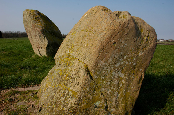
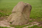
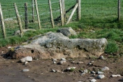
The walk continues over the motorway, and through a number of fields on a very good path. As the route swings eastwards, the standing stones are clearly visible. In the corner of the field lies a very large mis-shapen stone. Could it be "The Hag" as mentioned on the OS map.
The walk continues eastward, and shortly a gate is reached to the left. Access to the stones is through this gate, then back over the motorway, up a hill and through a farmyard, and back to the village along the busy A6.
For more information see Pastscape Monument No. 11996.
You may be viewing yesterday's version of this page. To see the most up to date information please register for a free account.
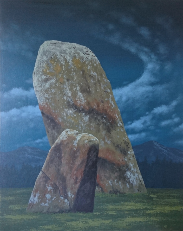
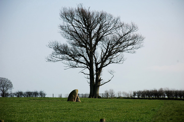
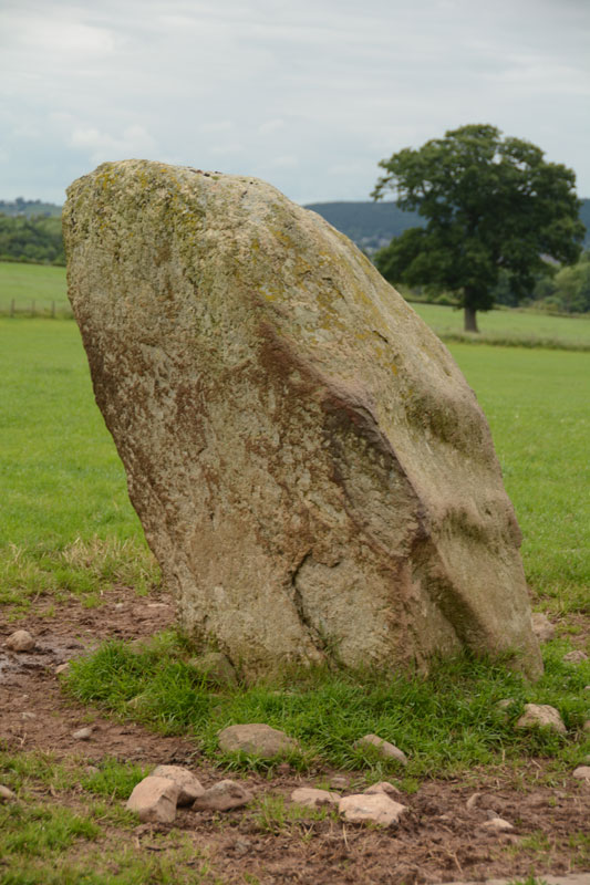



Do not use the above information on other web sites or publications without permission of the contributor.
Click here to see more info for this site
Nearby sites
Key: Red: member's photo, Blue: 3rd party photo, Yellow: other image, Green: no photo - please go there and take one, Grey: site destroyed
Download sites to:
KML (Google Earth)
GPX (GPS waypoints)
CSV (Garmin/Navman)
CSV (Excel)
To unlock full downloads you need to sign up as a Contributory Member. Otherwise downloads are limited to 50 sites.
Turn off the page maps and other distractions
Nearby sites listing. In the following links * = Image available
615m NE 48° St Cuthbert's Well (Clifton)* Holy Well or Sacred Spring (NY5359326336)
848m NW 312° Lowther Woodhouse Stone Row / Alignment (NY525265)
1.1km N 3° Clifton Cross* Ancient Cross (NY5319427036)
1.5km WSW 239° Castlesteads (Yanwath Wood)* Ancient Village or Settlement (NY5185725187)
1.5km WSW 241° Castlesteads (Tirril) Ancient Village or Settlement (NY518252)
1.7km SSE 162° Low Moor (Cumbria)* Long Barrow (NY53642431)
1.7km SSE 160° Trainford Brow Long Barrow* Long Barrow (NY5369724313)
1.9km SW 219° St Michael (Lowther)* Ancient Cross (NY51902445)
2.2km SW 214° Castlesteads (Lowther)* Misc. Earthwork (NY51892412)
2.4km NNW 331° Brougham Hall Stone Circle (NY520280)
2.4km NNW 341° Little Round Table* Henge (NY52382817)
2.6km NNW 341° King Arthur's Round Table* Henge (NY5232528374)
2.8km NNW 334° Mayburgh* Henge (NY5191728428)
3.2km E 83° Leacet Hill* Cairn (NY563263)
3.4km NW 320° Skirsgill Holy Well (Skirsgill) Holy Well or Sacred Spring (NY5095028560)
3.5km WNW 301° Redhills Rock Art* Rock Art (NY50192776)
3.5km NW 322° Skirsgill Standing Stone* Standing Stone (Menhir) (NY50972875)
3.8km NNW 342° Plague Stone (Penrith)* Ancient Cross (NY5196329563)
4.2km SW 230° Skirsgill Hill* Ancient Village or Settlement (NY4990923267)
4.2km WNW 295° Dacre Parish* Stone Circle (NY49342771)
4.3km SE 133° Low Well (Great Strickland)* Holy Well or Sacred Spring (NY56242302)
4.3km SSW 207° Mark's Well (Helton)* Holy Well or Sacred Spring (NY5114222090)
4.5km WNW 289° Snuff Mill (Stainton)* Standing Stone (Menhir) (NY4890927405)
4.5km NNW 340° Giants Grave, Penrith* Ancient Cross (NY51653017)
4.5km NW 315° Bell Mount* Natural Stone / Erratic / Other Natural Feature (NY49932914)
View more nearby sites and additional images


 We would like to know more about this location. Please feel free to add a brief description and any relevant information in your own language.
 Wir möchten mehr über diese Stätte erfahren. Bitte zögern Sie nicht, eine kurze Beschreibung und relevante Informationen in Deutsch hinzuzufügen.
 Nous aimerions en savoir encore un peu sur les lieux. S'il vous plaît n'hesitez pas à ajouter une courte description et tous les renseignements pertinents dans votre propre langue.
 Quisieramos informarnos un poco más de las lugares. No dude en añadir una breve descripción y otros datos relevantes en su propio idioma.