<< Our Photo Pages >> Golden Cap Barrows - Barrow Cemetery in England in Dorset
Submitted by Andy B on Wednesday, 18 May 2011 Page Views: 8685
Neolithic and Bronze AgeSite Name: Golden Cap BarrowsCountry: England
NOTE: This site is 0.2 km away from the location you searched for.
County: Dorset Type: Barrow Cemetery
Nearest Town: Bridport Nearest Village: Chideock
Map Ref: SY40569211
Latitude: 50.725556N Longitude: 2.843478W
Condition:
| 5 | Perfect |
| 4 | Almost Perfect |
| 3 | Reasonable but with some damage |
| 2 | Ruined but still recognisable as an ancient site |
| 1 | Pretty much destroyed, possibly visible as crop marks |
| 0 | No data. |
| -1 | Completely destroyed |
| 5 | Superb |
| 4 | Good |
| 3 | Ordinary |
| 2 | Not Good |
| 1 | Awful |
| 0 | No data. |
| 5 | Can be driven to, probably with disabled access |
| 4 | Short walk on a footpath |
| 3 | Requiring a bit more of a walk |
| 2 | A long walk |
| 1 | In the middle of nowhere, a nightmare to find |
| 0 | No data. |
| 5 | co-ordinates taken by GPS or official recorded co-ordinates |
| 4 | co-ordinates scaled from a detailed map |
| 3 | co-ordinates scaled from a bad map |
| 2 | co-ordinates of the nearest village |
| 1 | co-ordinates of the nearest town |
| 0 | no data |
Internal Links:
External Links:
I have visited· I would like to visit
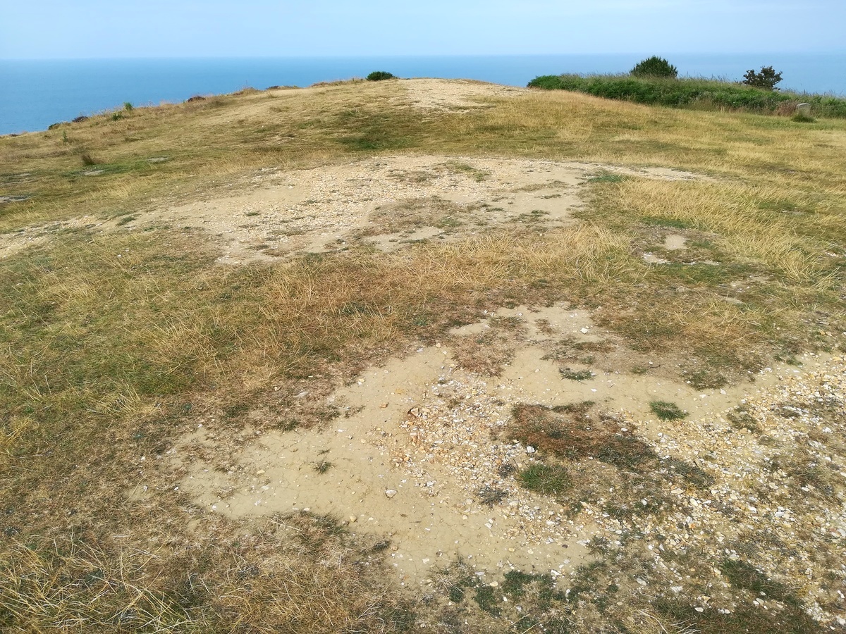
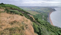
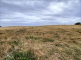
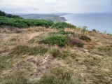
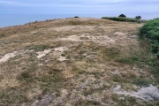
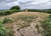
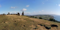
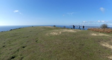
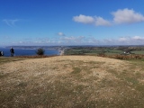
TheCaptain visited on 15th Oct 2020 - their rating: Cond: 2 Amb: 5 Access: 3 Visit on a walk from Seatown up the coast path up and over the Golden Cap and around Stanton St Gabriel and back. Remains of 5 barrows can be seen on the open hilltop to the west of the highest point of 191m, the highest point on the British south coast. They are in a line along the top, but now very low and worn, clearly showing the Chert and gravelly golden sandstone of which they are constructed.
heidavey have visited here
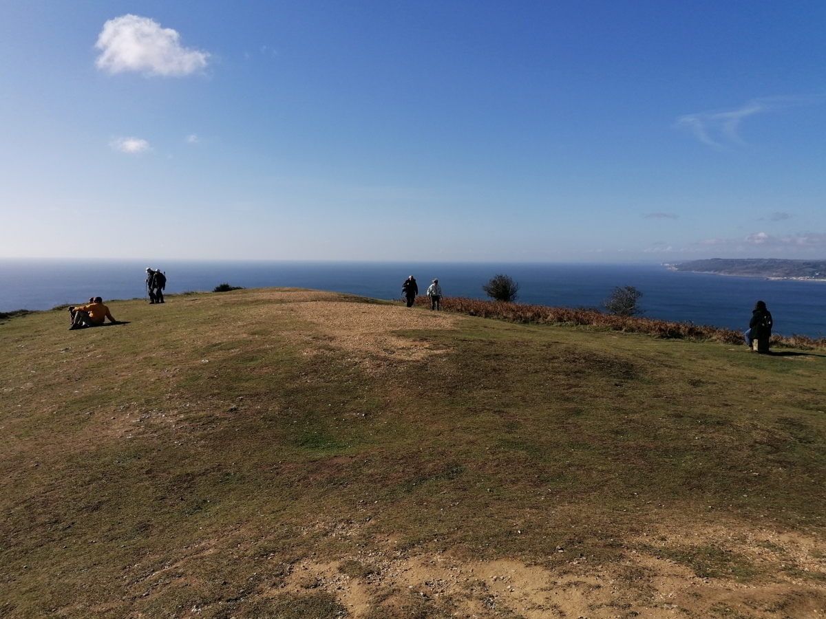
Work was done in 2011 to excavate three of the burial mounds on Golden Cap in Dorset. The 4,000-year-old mounds are at risk from coastal erosion and were excavated by the National Trust before they are lost to the sea.
The two mounds furthest from the cliff were not excavated on this occasion.
Each mound measures about 15m (49ft) in diameter. It is not known exactly how high each one is because they have been covered by sand blown in from the cliff edge. Each one currently stands at about 1m (3ft) high.
Preliminary excavation work was carried out on the mounds in May 2009.
It was hoped the excavation would uncover more about the people who originally built them.
Martin Papworth, a National Trust archaeologist, said: "These Bronze Age round barrows are important features of the landscape of Dorset and have a valuable story to tell, but the archaeological information contained in these burial mounds can only be preserved through excavation and record."
All five burial mounds are expected to be lost through cliff collapses in the next 50 years.
Mr Papworth added: "The barrows are scheduled monuments and English Heritage has granted permission for the National Trust to excavate the most vulnerable parts of the barrow group."
It is thought the mounds would have been about two miles inland at the time they were built.
More at BBC News
You may be viewing yesterday's version of this page. To see the most up to date information please register for a free account.


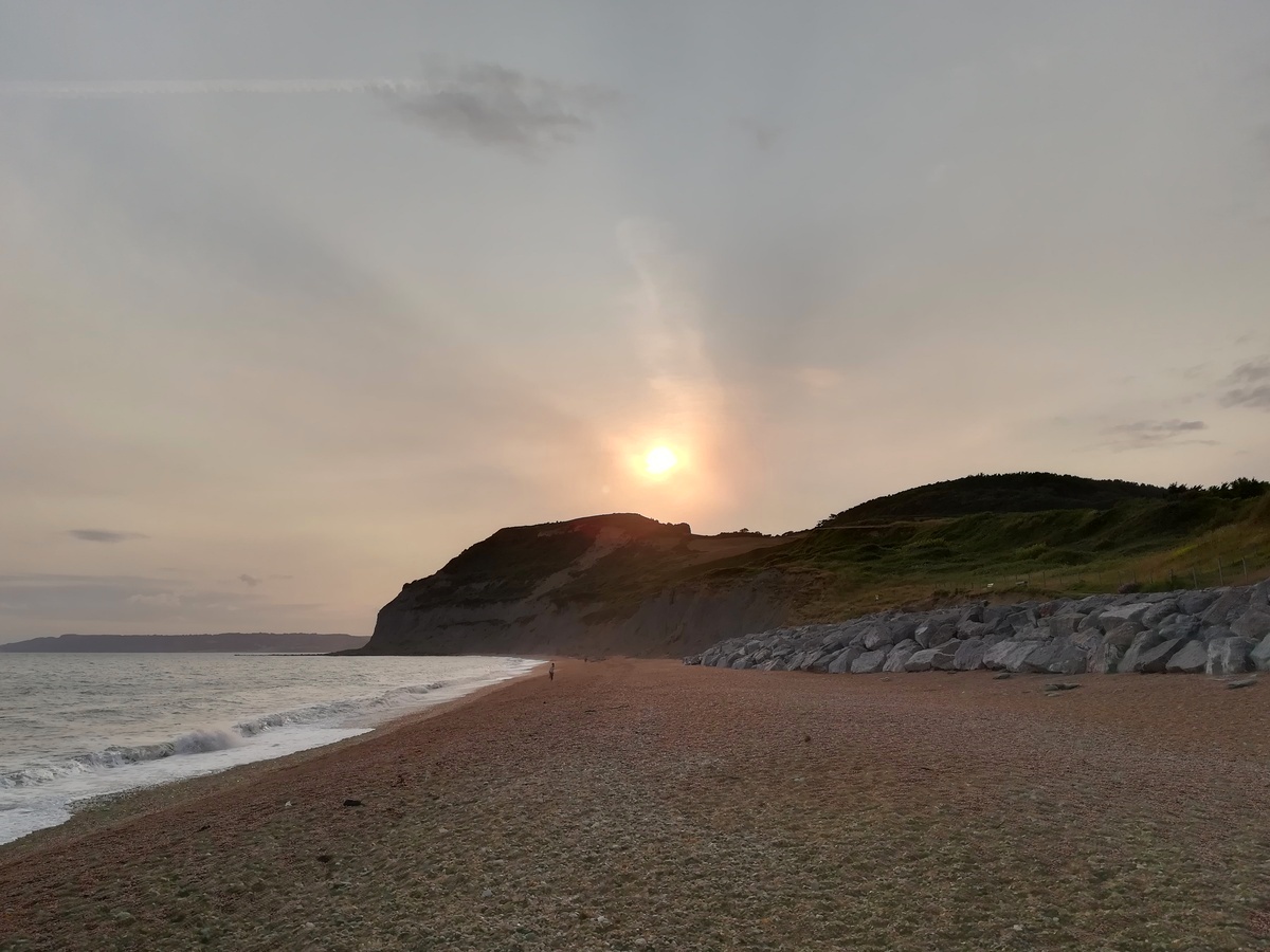
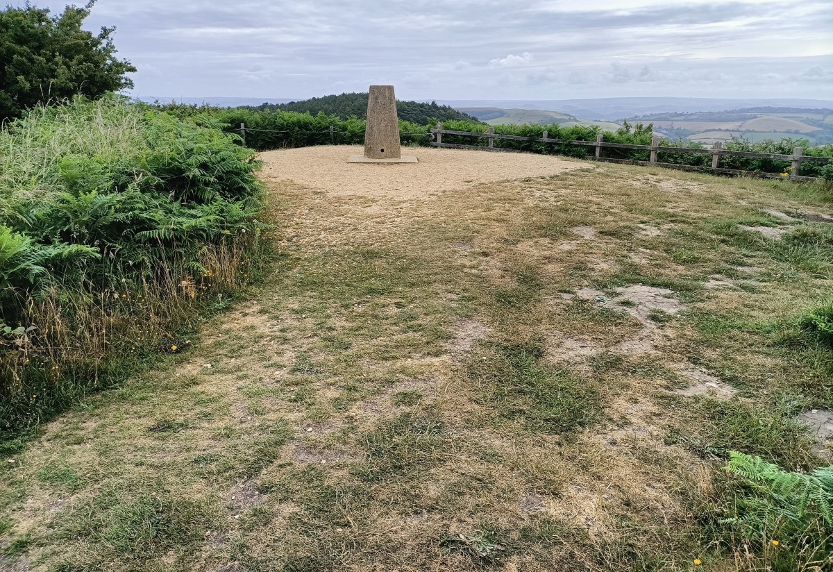







These are just the first 25 photos of Golden Cap Barrows. If you log in with a free user account you will be able to see our entire collection.
Do not use the above information on other web sites or publications without permission of the contributor.
Click here to see more info for this site
Nearby sites
Key: Red: member's photo, Blue: 3rd party photo, Yellow: other image, Green: no photo - please go there and take one, Grey: site destroyed
Download sites to:
KML (Google Earth)
GPX (GPS waypoints)
CSV (Garmin/Navman)
CSV (Excel)
To unlock full downloads you need to sign up as a Contributory Member. Otherwise downloads are limited to 50 sites.
Turn off the page maps and other distractions
Nearby sites listing. In the following links * = Image available
1.8km NNW 339° St Candida's Well* Holy Well or Sacred Spring (SY3995193753)
2.5km ESE 103° Doghouse Hill* Ancient Village or Settlement (SY430915)
3.4km NNW 345° St Candida & Holy Cross (Whitchurch Canonicorum)* Early Christian Sculptured Stone (SY3967895432)
6.3km NNW 327° Coney's Castle* Hillfort (SY372975)
6.4km W 270° Leper's Well (Lyme Regis)* Holy Well or Sacred Spring (SY3411292224)
7.8km NNW 334° Lambert's Castle* Hillfort (SY372991)
8.5km N 358° Bettiscombe Stone Natural Stone / Erratic / Other Natural Feature (ST4036800561)
9.2km N 4° Pilsdon Pen* Hillfort (ST413013)
9.4km ESE 110° Bind Barrow* Round Barrow(s) (SY494888)
9.6km NNE 18° Lewesdon Hillfort Hillfort (ST437012)
10.1km E 89° Shipton Hill* Hillfort (SY507921)
10.3km W 274° Shapwick Hill Bowl Barrows Barrow Cemetery (SY303930)
11.0km NNE 14° St Dunstan's Well* Holy Well or Sacred Spring (ST433028)
12.2km E 92° Chilcombe Hill Barrows* Round Barrow(s) (SY528916)
12.4km E 90° Chilcombe Hill* Hillfort (SY530920)
12.5km W 279° Musbury Castle* Hillfort (SY282941)
12.7km WNW 300° Axminster Castle* Hillfort (SY296986)
13.4km ESE 108° Puncknowle Bowl Barrows Round Barrow(s) (SY53308783)
13.8km ENE 78° Eggardon Hill* Hillfort (SY54129472)
14.2km W 267° Hawksdown Camp* Hillfort (SY26299143)
14.3km E 79° Eggardon earthwork* Henge (SY54689460)
14.6km NNE 26° Pickett Farm Neolithic Site Misc. Earthwork (ST47100519)
15.0km E 83° Two Gates (Dorset)* Burial Chamber or Dolmen (SY5548593770)
15.0km E 91° Litton Cheney* Timber Circle (SY5562591741)
15.2km ESE 110° Tulk's Hill Bowl Barrows Barrow Cemetery (SY54798668)
View more nearby sites and additional images


 We would like to know more about this location. Please feel free to add a brief description and any relevant information in your own language.
 Wir möchten mehr über diese Stätte erfahren. Bitte zögern Sie nicht, eine kurze Beschreibung und relevante Informationen in Deutsch hinzuzufügen.
 Nous aimerions en savoir encore un peu sur les lieux. S'il vous plaît n'hesitez pas à ajouter une courte description et tous les renseignements pertinents dans votre propre langue.
 Quisieramos informarnos un poco más de las lugares. No dude en añadir una breve descripción y otros datos relevantes en su propio idioma.