<< Our Photo Pages >> Mitchell's Fold - Stone Circle in England in Shropshire
Submitted by TimPrevett on Friday, 21 March 2025 Page Views: 46267
Neolithic and Bronze AgeSite Name: Mitchell's Fold Alternative Name: Medgel's Fold, Mitchells FoldCountry: England County: Shropshire Type: Stone Circle
Nearest Village: Chirbury
Map Ref: SO30429837 Landranger Map Number: 137
Latitude: 52.578673N Longitude: 3.028248W
Condition:
| 5 | Perfect |
| 4 | Almost Perfect |
| 3 | Reasonable but with some damage |
| 2 | Ruined but still recognisable as an ancient site |
| 1 | Pretty much destroyed, possibly visible as crop marks |
| 0 | No data. |
| -1 | Completely destroyed |
| 5 | Superb |
| 4 | Good |
| 3 | Ordinary |
| 2 | Not Good |
| 1 | Awful |
| 0 | No data. |
| 5 | Can be driven to, probably with disabled access |
| 4 | Short walk on a footpath |
| 3 | Requiring a bit more of a walk |
| 2 | A long walk |
| 1 | In the middle of nowhere, a nightmare to find |
| 0 | No data. |
| 5 | co-ordinates taken by GPS or official recorded co-ordinates |
| 4 | co-ordinates scaled from a detailed map |
| 3 | co-ordinates scaled from a bad map |
| 2 | co-ordinates of the nearest village |
| 1 | co-ordinates of the nearest town |
| 0 | no data |
Internal Links:
External Links:
I have visited· I would like to visit
elad13 dancing_star would like to visit
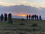
w650marion visited on 21st Dec 2024 Winter Solstice sunset, a glimpse of the sun for a few minutes before it disappeared behind clouds and below the horizon. Four friendly strangers in attendance on the very cold and windy site.
reuniclus visited on 1st Jul 2024 - their rating: Cond: 3 Amb: 4 Access: 3 Saw nobody else up there on a windy day, very pretty and atmospheric spot
bishop_pam visited on 3rd Aug 2022 - their rating: Cond: 5 Amb: 5 Access: 4
George998 visited on 20th Jun 2021 - their rating: Cond: 4 Amb: 5 Access: 4
RichFox visited on 28th Sep 2020 - their rating: Cond: 4 Amb: 5 Access: 4 My personal favorite of all stone circles I have visited, not least because it is on my family's doorstep. I first came across Mitchells Fold around 12 years ago when I was still living in Shrewsbury. I had driven to the area for a walk and was startled by the impressive ring of stones, having no idea it was there. A truly magnificent, atmospheric experience, no matter the conditions.
Mikestavros visited on 5th Aug 2018 - their rating: Cond: 4 Amb: 5 Access: 4 Lovely location, with stunning views all around.
wildtalents visited on 23rd Jun 2018 - their rating: Cond: 3 Amb: 4 Access: 3 I first visited Mitchell's Fold in the summer of 2007 when a great deal of the countryside was closed down by foot-and-mouth disease. There were guys in white plastic overalls in the nearest town. Stern signs warned against it, but we snuck onto the site anyway. If there had been any animals we could turn back, but there weren't. (In normal times you will always meet one or two dog walkers, loads of space for the most energetic pup to wear herself out.)
Since then I've been back a couple of times, both times in 2018.
There's a few ways to get to the site and there is a disabled parking space very nearby if memory serves. The last time I visited, in June 2018, a bunch of about ten or twelve of us walked there from the Satipanya retreat centre, about a mile-and-half away, bang on the border between Wales and Shropshire.
It's a very pretty part of the country and makes for a splendid location even if the circle itself has been tampered with considerably over the years. The setting is worth a visit on it's own and the stones have a real sense of resilience. I seem to remember that Paul Devereux and his team did some of their research there and the suggestion was that the most prominent stone had unusual electromagnetic properties.
I'll check Places Of Power and edit this entry if it needs clarification (the book is currently in a box somewhere while I prepare to move house).
TwinFlamesKiss visited on 1st Dec 2012 - their rating: Cond: 3 Amb: 3 Access: 2
SumDoood visited on 1st Jan 2010 - their rating: Cond: 3 Amb: 4 Access: 4
graemefield visited on 6th Jun 2009 - their rating: Cond: 3 Amb: 4 Access: 3
BolshieBoris visited on 1st Aug 1998 - their rating: Cond: 4 Amb: 5 Access: 4
bat400 visited on 1st May 1988 - their rating: Cond: 3 Amb: 3 Access: 4
FrothNinja visited on 1st May 1975 - their rating: Cond: 2 Amb: 4 Access: 4
hevveh Humbucker Bladup CoppellaiaMatta Andy B TheWhiteRider TimPrevett Serenstar have visited here
Average ratings for this site from all visit loggers: Condition: 3.42 Ambience: 4.25 Access: 3.58
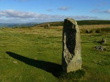
An outlier is between the circle and Corndon Hill, with a cairn to the NE.
Nearby to the east were recorded three standing stones - Druid's Castle, and to the south, a ruined circle just within Powys - The Whetstones.
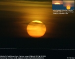
Orpbit writes: On the morning of the 18th March 2025 I did a test run for the sunrise at Mitchell's Fold stone circle on the 20th, which proved reasonably successful. However, the weather forecast for the 22nd is very poor so I went back to catch the moonrise at a little before midnight. I took shots from the centre of the circle and from next to Stone 8.
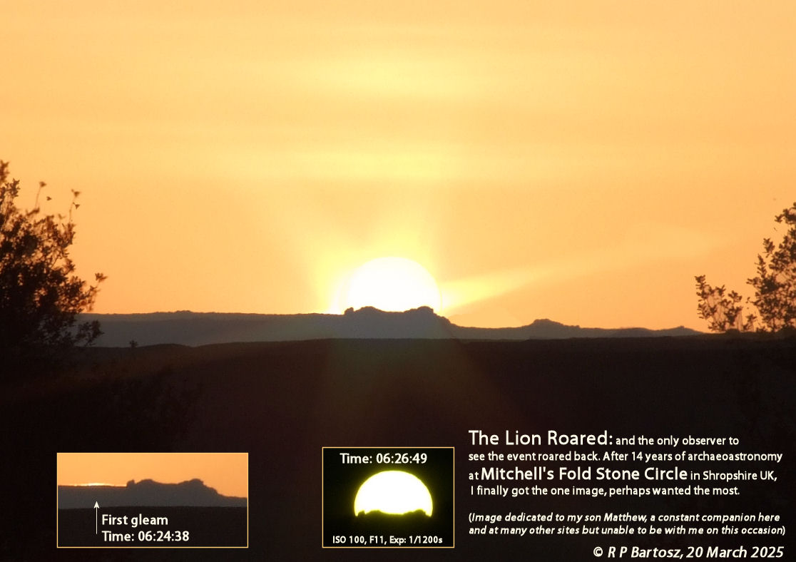
Note: Orpbit writes: The Lion Roared at Mitchell's Fold stone circle on the Equinox and I roared back. After 14 years of researching the site I finally got the one image I really wanted. More details in our forum and corroborating simulation images now added to this page by David Hoyle
You may be viewing yesterday's version of this page. To see the most up to date information please register for a free account.
More pictures in our eGallery: Handfasting at Mitchell's Fold


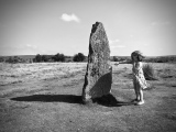

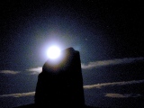


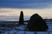

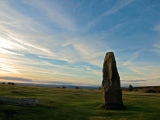


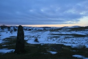
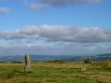
These are just the first 25 photos of Mitchell's Fold. If you log in with a free user account you will be able to see our entire collection.
Do not use the above information on other web sites or publications without permission of the contributor.
Click here to see more info for this site
Nearby sites
Key: Red: member's photo, Blue: 3rd party photo, Yellow: other image, Green: no photo - please go there and take one, Grey: site destroyed
Download sites to:
KML (Google Earth)
GPX (GPS waypoints)
CSV (Garmin/Navman)
CSV (Excel)
To unlock full downloads you need to sign up as a Contributory Member. Otherwise downloads are limited to 50 sites.
Turn off the page maps and other distractions
Nearby sites listing. In the following links * = Image available
90m S 179° Mitchell's Fold outlier* Standing Stone (Menhir) (SO30429828)
281m SSE 163° Druid's Castle* Stone Circle (SO305981)
396m NW 326° Middleton Hill Round Barrow(s) (SO302987)
706m NE 43° Cow Stone (Shropshire)* Standing Stone (Menhir) (SO30919888)
840m S 179° The Whetstones* Stone Circle (SO30429753)
889m ENE 60° Stapeley Hill Earthworks* Misc. Earthwork (SO312988)
892m NW 306° Middleton Hall* Standing Stone (Menhir) (SO297989)
1.1km NE 51° Stapeley Hill Cairn* Cairn (SO31279904)
1.1km SSW 201° New House Long Barrow* Long Barrow (SO300973)
1.5km S 172° Corndon Hill 2* Cairn (SO30609693)
1.5km NE 54° Giant's Grave (Shropshire)* Burial Chamber or Dolmen (SO31659925)
1.6km S 191° Corndon Hill 7* Cairn (SO301968)
1.7km SSE 161° Corndon Hill 4* Cairn (SO30949680)
1.7km S 180° Corndon Hill 8* Cairn (SO304967)
1.7km SSE 163° Corndon Hill 3* Cairn (SO30909676)
1.7km S 179° Corndon Hill 1* Cairn (SO30449666)
2.1km SSE 167° Corndon Hill 5* Cairn (SO30869632)
2.2km NNE 32° Holywell Brook (Rorrington)* Holy Well or Sacred Spring (SJ316002)
2.3km S 176° Corndon Hill 6* Cairn (SO30539608)
2.4km NNE 26° Castle Ring (Rorrington)* Hillfort (SJ315005)
2.5km NE 52° Hoarstones* Stone Circle (SO32419990)
3.4km S 178° Cwm Mawr Stone Axe Factory Ancient Mine, Quarry or other Industry (SO305950)
3.5km ENE 72° Shelve* Stone Circle (SO338994)
3.5km SSW 196° Roundton* Hillfort (SO29389498)
4.0km SW 231° Calcot Camp* Hillfort (SO273959)
View more nearby sites and additional images


 We would like to know more about this location. Please feel free to add a brief description and any relevant information in your own language.
 Wir möchten mehr über diese Stätte erfahren. Bitte zögern Sie nicht, eine kurze Beschreibung und relevante Informationen in Deutsch hinzuzufügen.
 Nous aimerions en savoir encore un peu sur les lieux. S'il vous plaît n'hesitez pas à ajouter une courte description et tous les renseignements pertinents dans votre propre langue.
 Quisieramos informarnos un poco más de las lugares. No dude en añadir una breve descripción y otros datos relevantes en su propio idioma.