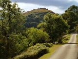
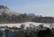
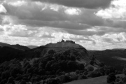
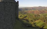
<< Our Photo Pages >> Dinas Bran - Hillfort in Wales in Denbighshire
Submitted by Graham1950 on Thursday, 24 October 2019 Page Views: 25701
Iron Age and Later PrehistorySite Name: Dinas Bran Alternative Name: Castell Dinas BrânCountry: Wales County: Denbighshire Type: Hillfort
Nearest Town: Llangollen
Map Ref: SJ2224043060 Landranger Map Number: 117
Latitude: 52.979222N Longitude: 3.159568W
Condition:
| 5 | Perfect |
| 4 | Almost Perfect |
| 3 | Reasonable but with some damage |
| 2 | Ruined but still recognisable as an ancient site |
| 1 | Pretty much destroyed, possibly visible as crop marks |
| 0 | No data. |
| -1 | Completely destroyed |
| 5 | Superb |
| 4 | Good |
| 3 | Ordinary |
| 2 | Not Good |
| 1 | Awful |
| 0 | No data. |
| 5 | Can be driven to, probably with disabled access |
| 4 | Short walk on a footpath |
| 3 | Requiring a bit more of a walk |
| 2 | A long walk |
| 1 | In the middle of nowhere, a nightmare to find |
| 0 | No data. |
| 5 | co-ordinates taken by GPS or official recorded co-ordinates |
| 4 | co-ordinates scaled from a detailed map |
| 3 | co-ordinates scaled from a bad map |
| 2 | co-ordinates of the nearest village |
| 1 | co-ordinates of the nearest town |
| 0 | no data |
Internal Links:
External Links:
I have visited· I would like to visit
vegalyra1 PAB elad13 would like to visit
Couplands visited on 5th May 2025 - their rating: Cond: 2 Amb: 5 Access: 3
cactus_chris visited on 21st Apr 2018 - their rating: Cond: 5 Amb: 5 Access: 2
Marko visited on 24th Feb 2017 - their rating: Cond: 2 Amb: 3 Access: 3
seveaye visited on 11th May 2011 - their rating: Cond: 2 Amb: 5 Access: 3
SumDoood visited - their rating: Cond: 3 Amb: 4 Access: 3
DrewParsons h_fenton AngieLake TimPrevett nicoladidsbury have visited here
Average ratings for this site from all visit loggers: Condition: 2.8 Ambience: 4.4 Access: 2.8

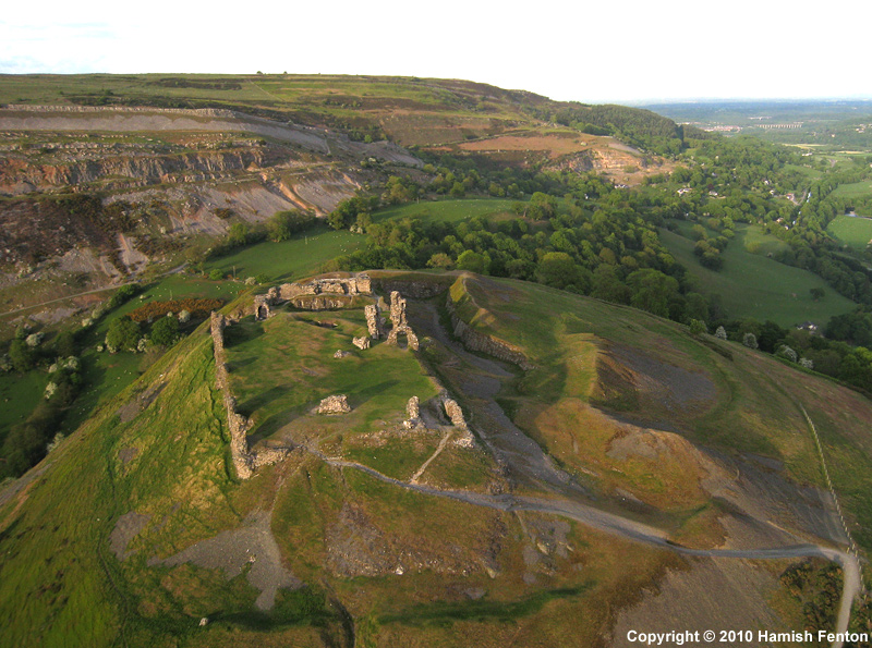
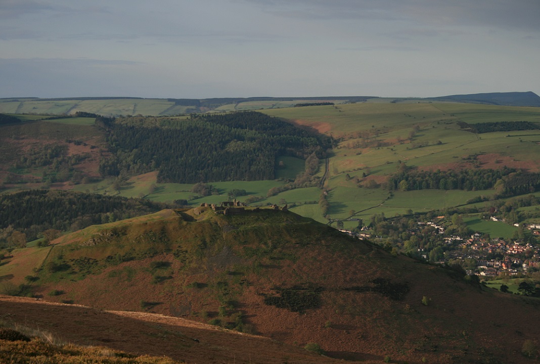
It was the home of the Princes of Powys until the 8th century, but the hilltop had strategic value long before they came here.
The word, "Dinas," possibly has its origins in the Iron Age and is found in the names of Iron Age hillforts throughout Wales. In the Dark Ages, Dinas Bran was associated with King Elisedd (see Eliseg's Pillar). There are much earlier stories though and the castle is named after Bran the Blessed, a deified hero from Welsh and Irish mythology. His name means "Raven" and his story also connects to the legend of the ravens on Tower Hill in London.
Dinas Bran is also known as Castle Corbenic in the legend of the Holy Grail. Corben is a French word for crow or raven and means Bran in Welsh. In Welsh myth, Bran went on a long journey from Harlech to Ireland to recover a magical vessel of plenty - a Cauldron of Rebirth which was the forerunner of the Grail. Like the Grail King, Bran was wounded by a spear and the land became a wasteland until he was healed. It is said that the wound was in the groin and would not heal leading to loss of potency. The link between the sexual vigour of the king and the fertility of the land is common to many cultures. Later, his head was cut off, but continued to speak. Following his instructions, Bran's head was taken to the hill that was to become the site of the Tower of London. It was buried and as long as it remained there it would guard the land. Strange that the present day ravens at the Tower are still said to perform that function.
Page text by Thorgrim
You may be viewing yesterday's version of this page. To see the most up to date information please register for a free account.


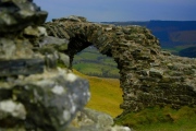
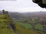


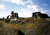

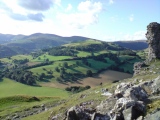

These are just the first 25 photos of Dinas Bran. If you log in with a free user account you will be able to see our entire collection.
Do not use the above information on other web sites or publications without permission of the contributor.
Click here to see more info for this site
Nearby sites
Key: Red: member's photo, Blue: 3rd party photo, Yellow: other image, Green: no photo - please go there and take one, Grey: site destroyed
Download sites to:
KML (Google Earth)
GPX (GPS waypoints)
CSV (Garmin/Navman)
CSV (Excel)
To unlock full downloads you need to sign up as a Contributory Member. Otherwise downloads are limited to 50 sites.
Turn off the page maps and other distractions
Nearby sites listing. In the following links * = Image available
526m ENE 66° Llanddyn Hall Stone II* Marker Stone (SJ2272443270)
1.2km SW 218° Llangollen Museum Museum (SJ2145642103)
1.3km NE 40° Eglwyseg Plantation Cairn 1* Cairn (SJ23074403)
1.3km ENE 59° Bryngolen Cairn 1* Cairn (SJ23374372)
1.4km N 4° Eglwyseg Plantation Barrow* Round Barrow(s) (SJ22364446)
1.5km SSW 196° Plas Newydd Gorsedd Stone circle* Modern Stone Circle etc (SJ2181041661)
1.5km NE 45° Eglwyseg Plantation Cairn 2 Cairn (SJ23344414)
1.6km ENE 63° Brygolen Cairn 2 Cairn (SJ23664376)
1.7km ENE 64° Brygolen Cairn 3* Cairn (SJ23794378)
1.8km N 10° Eglwyseg Stone* Natural Stone / Erratic / Other Natural Feature (SJ22574478)
1.9km N 358° Creigiau Eglwyseg 1* Round Barrow(s) (SJ22214495)
2.0km NNE 15° Eglwyseg stone (2)* Standing Stone (Menhir) (SJ22774494)
2.1km NNE 12° Eglwyseg Kerb Cairn A* Cairn (SJ22704509)
2.1km NNE 12° Eglwyseg Kerb Cairn B* Cairn (SJ227451)
2.1km NNE 15° Eglwyseg Cairn Circle* Cairn (SJ22824513)
2.3km NNE 18° Eglwyseg Mountain* Standing Stone (Menhir) (SJ22994519)
2.3km NNE 17° Creigiau Eglwyseg Boundary* Cairn (SJ22944522)
2.5km NW 306° Pillar of Eliseg* Early Christian Sculptured Stone (SJ20264452)
3.0km NNE 16° Eglwyseg mountain cairns (1,2 and 3)* Cairn (SJ23154597)
3.3km S 176° Careg y Big (Llangollen)* Standing Stone (Menhir) (SJ224398)
3.3km SE 139° Croes Esgob* Ancient Cross (SJ24394052)
3.4km SW 231° Ffynnon Las Round Barrow(s) (SJ19574099)
4.5km S 181° Llwynmawr* Standing Stone (Menhir) (SJ2211138530)
4.7km S 180° Pen-y-Brongyll Round Barrow* Round Barrow(s) (SJ22183837)
4.8km WSW 237° Blaen Nant* Round Barrow(s) (SJ18144051)
View more nearby sites and additional images


 We would like to know more about this location. Please feel free to add a brief description and any relevant information in your own language.
 Wir möchten mehr über diese Stätte erfahren. Bitte zögern Sie nicht, eine kurze Beschreibung und relevante Informationen in Deutsch hinzuzufügen.
 Nous aimerions en savoir encore un peu sur les lieux. S'il vous plaît n'hesitez pas à ajouter une courte description et tous les renseignements pertinents dans votre propre langue.
 Quisieramos informarnos un poco más de las lugares. No dude en añadir una breve descripción y otros datos relevantes en su propio idioma.