<< Text Pages >> Derculich - Passage Grave in Scotland in Perth and Kinross
Submitted by vicky on Sunday, 21 July 2002 Page Views: 8452
Neolithic and Bronze AgeSite Name: DerculichCountry: Scotland County: Perth and Kinross Type: Passage Grave
Map Ref: NN884527 Landranger Map Number: 52
Latitude: 56.652746N Longitude: 3.82186W
Condition:
| 5 | Perfect |
| 4 | Almost Perfect |
| 3 | Reasonable but with some damage |
| 2 | Ruined but still recognisable as an ancient site |
| 1 | Pretty much destroyed, possibly visible as crop marks |
| 0 | No data. |
| -1 | Completely destroyed |
| 5 | Superb |
| 4 | Good |
| 3 | Ordinary |
| 2 | Not Good |
| 1 | Awful |
| 0 | No data. |
| 5 | Can be driven to, probably with disabled access |
| 4 | Short walk on a footpath |
| 3 | Requiring a bit more of a walk |
| 2 | A long walk |
| 1 | In the middle of nowhere, a nightmare to find |
| 0 | No data. |
| 5 | co-ordinates taken by GPS or official recorded co-ordinates |
| 4 | co-ordinates scaled from a detailed map |
| 3 | co-ordinates scaled from a bad map |
| 2 | co-ordinates of the nearest village |
| 1 | co-ordinates of the nearest town |
| 0 | no data |
Be the first person to rate this site - see the 'Contribute!' box in the right hand menu.
Internal Links:
External Links:
I have visited· I would like to visit
Judy6 would like to visit
Have you visited this site? Please add a comment below.
You may be viewing yesterday's version of this page. To see the most up to date information please register for a free account.
Do not use the above information on other web sites or publications without permission of the contributor.
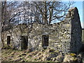
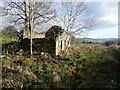
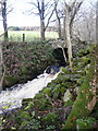
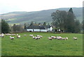
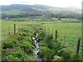
Nearby Images from Geograph Britain and Ireland:
©2008(licence)
©2009(licence)
©2009(licence)
©2009(licence)
©2009(licence)
The above images may not be of the site on this page, they are loaded from Geograph.
Please Submit an Image of this site or go out and take one for us!
Click here to see more info for this site
Nearby sites
Key: Red: member's photo, Blue: 3rd party photo, Yellow: other image, Green: no photo - please go there and take one, Grey: site destroyed
Download sites to:
KML (Google Earth)
GPX (GPS waypoints)
CSV (Garmin/Navman)
CSV (Excel)
To unlock full downloads you need to sign up as a Contributory Member. Otherwise downloads are limited to 50 sites.
Turn off the page maps and other distractions
Nearby sites listing. In the following links * = Image available
563m NNE 26° Tobairandonaich* Rock Art (NN88665320)
1.9km NNE 33° Pitcastle Standing Stones (NN895543)
2.0km NE 36° Findynate Farm* Standing Stones (NN89645430)
2.1km S 189° Lundin Farm NW* Standing Stones (NN88025062)
2.1km SSW 214° Tom-an-Droighne Standing Stone (Menhir) (NN87165094)
2.2km S 187° Lundin Farm* Stone Circle (NN8806650570)
2.2km SSW 194° Lundin Standing Stone* Standing Stone (Menhir) (NN87835059)
2.5km SSW 203° Carn Tulach* Stone Circle (NN87395045)
3.1km ENE 57° Clach Na Buidseach Rock Art (NN91085435)
3.3km E 88° Balnabeggan* Rock Art (NN917527)
3.7km E 81° Haugh Of Grandtully Farm* Standing Stone (Menhir) (NN92035319)
3.8km WSW 252° Glassie Standing Stone* Standing Stone (Menhir) (NN84715160)
4.5km E 80° Pitnacree* Standing Stone (Menhir) (NN92875337)
4.9km SW 235° St David's Well (Perth and Kinross)* Holy Well or Sacred Spring (NN84274999)
5.1km NE 52° Clachan An Diridh* Stone Circle (NN92515574)
5.1km SW 235° Weem Woods (Dull)* Rock Art (NN841499)
6.2km E 94° Clach na Croiche* Stone Row / Alignment (NN94625211)
6.3km WSW 237° Weem Cursus Cursus (NN83044939)
6.5km SSW 213° An Torr* Rock Art (NN84694729)
6.6km S 169° Sheriff Stone Standing Stone (Menhir) (NN895462)
6.9km WSW 249° Lurgan* Rock Art (NN8185550425)
6.9km WSW 239° Balhomais* Stone Circle (NN82384926)
7.2km SSW 211° Coilleachur Stone Circle (NN845466)
7.3km ENE 57° Dunfallandy stone* Class II Pictish Symbol Stone (NN946565)
7.6km NE 54° Dunfallandy Cairn* Cairn (NN94745700)
View more nearby sites and additional images


 We would like to know more about this location. Please feel free to add a brief description and any relevant information in your own language.
 Wir möchten mehr über diese Stätte erfahren. Bitte zögern Sie nicht, eine kurze Beschreibung und relevante Informationen in Deutsch hinzuzufügen.
 Nous aimerions en savoir encore un peu sur les lieux. S'il vous plaît n'hesitez pas à ajouter une courte description et tous les renseignements pertinents dans votre propre langue.
 Quisieramos informarnos un poco más de las lugares. No dude en añadir una breve descripción y otros datos relevantes en su propio idioma.
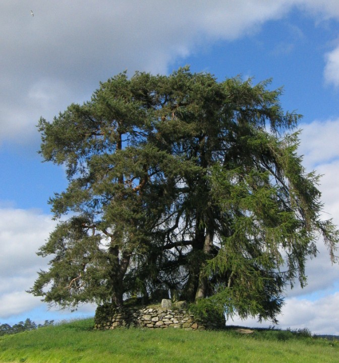