<< Our Photo Pages >> Bannau Sir Gaer - Stone Circle in Wales in Carmarthenshire
Submitted by Tom_Bullock on Sunday, 22 September 2002 Page Views: 12210
Neolithic and Bronze AgeSite Name: Bannau Sir Gaer Alternative Name: Sychnant Stone Circle, Waun Lwyd stone circle, Waen LwydCountry: Wales County: Carmarthenshire Type: Stone Circle
Nearest Town: Llandovery Nearest Village: Crai
Map Ref: SN80862440 Landranger Map Number: 160
Latitude: 51.905359N Longitude: 3.733225W
Condition:
| 5 | Perfect |
| 4 | Almost Perfect |
| 3 | Reasonable but with some damage |
| 2 | Ruined but still recognisable as an ancient site |
| 1 | Pretty much destroyed, possibly visible as crop marks |
| 0 | No data. |
| -1 | Completely destroyed |
| 5 | Superb |
| 4 | Good |
| 3 | Ordinary |
| 2 | Not Good |
| 1 | Awful |
| 0 | No data. |
| 5 | Can be driven to, probably with disabled access |
| 4 | Short walk on a footpath |
| 3 | Requiring a bit more of a walk |
| 2 | A long walk |
| 1 | In the middle of nowhere, a nightmare to find |
| 0 | No data. |
| 5 | co-ordinates taken by GPS or official recorded co-ordinates |
| 4 | co-ordinates scaled from a detailed map |
| 3 | co-ordinates scaled from a bad map |
| 2 | co-ordinates of the nearest village |
| 1 | co-ordinates of the nearest town |
| 0 | no data |
Internal Links:
External Links:
I have visited· I would like to visit
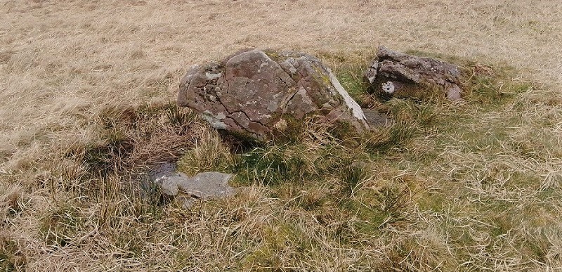
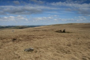
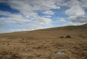
TheCaptain visited on 20th Jul 2017 - their rating: Cond: 2 Amb: 4 Access: 2 Visited while walking round Carmarthen Fan. We started off walking from the little parking area up to Sychnant stone circle, which was found surprisingly easily near a turning point on the walk near the head of the Sychnant stream. It is positioned on a nicely flattened area on the saddle at the top of the low ridge of land between the head of the Usk river to the northeast, and the Afon Sawddle which runs from Llyn y Fan Fach, a tributary of the Towi to the southwest. It is just a hundred or so metres from the pathway at the head of the stream, and can be identified by the two large stones protruding above the moorland. I paced out the diameter to be 17 to 18 paces, so probably about 16 metres, and I counted 12 stones, most of which are small and hardly protrude above the grass, but at times today were positively glowing white in the sunshine in the wet moorland. At the southeast section are two large stones, with another flat to the ground between them, which reminded me very much of the Pen-y-Beacon stone circle below Hay Bluff in the Black Mountains away to the east, and is possibly the remains of some sort of entrance. Of the other 9 stones I saw, only one is of any substance, about 2 feet tall and leaning outwards just to the north of the main stones. What a splendid place. I am so glad I can now get to these places again, and I am now inspired to search out Nant Tarw and the other sites around here sometime, as it is now only a couple of hours drive.
PAB sem have visited here
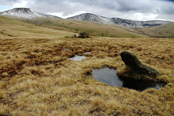
TheCaptain says: Stone circle positioned on a nicely flattened area on the saddle at the top of the low ridge of land between the head of the Usk river to the northeast, and the Afon Sawddle which runs from Llyn y Fan Fach, a tributary of the Towi to the southwest. It is just a hundred or so metres from the pathway at the head of the stream, and can be identified by the two large stones protruding above the moorland.
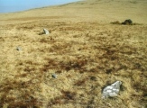
I paced out the diameter to be 17 to 18 paces, so probably about 16 metres, and I counted 12 stones, most of which are small and hardly protrude above the grass, but at times today were positively glowing white in the sunshine on the wet moorland.
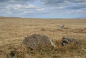
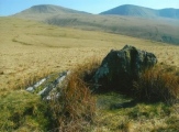
At the southeast section are two large stones, with another flat to the ground between them, which reminded me very much of the Pen-y-Beacon stone circle below Hay Bluff in the Black Mountains away to the east, and is possibly the remains of some sort of entrance. Of the other 9 stones I saw, only one is of any substance, about 2 feet tall and leaning outwards just to the north of the main stones.
As noted in RCAHMW description, many of these stones in this circle are difficult to find - especially if the grass ever gets a chance to grow!
You may be viewing yesterday's version of this page. To see the most up to date information please register for a free account.
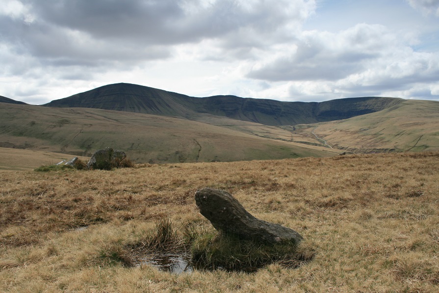
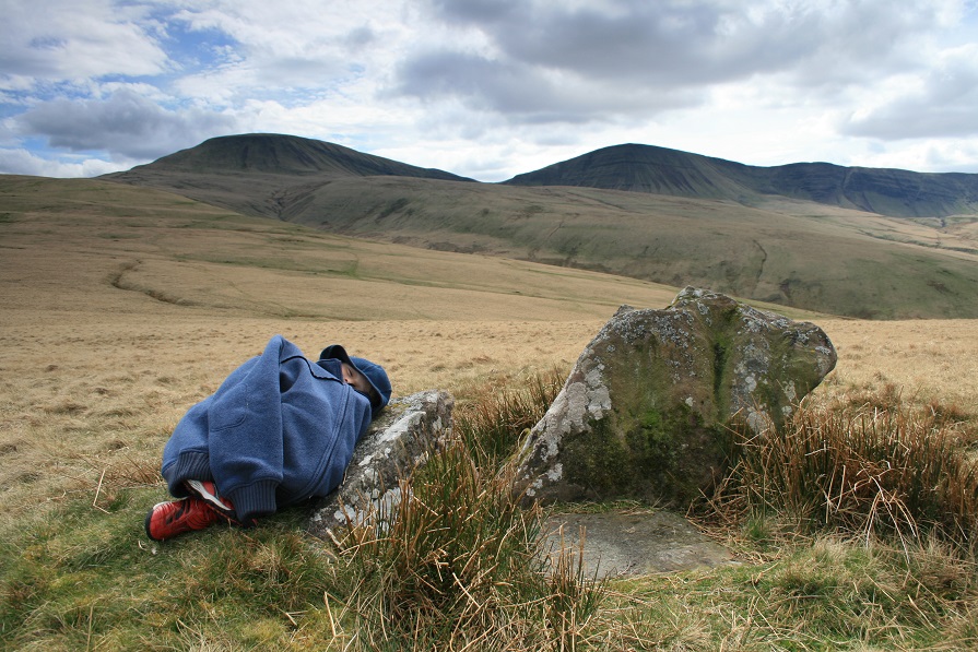
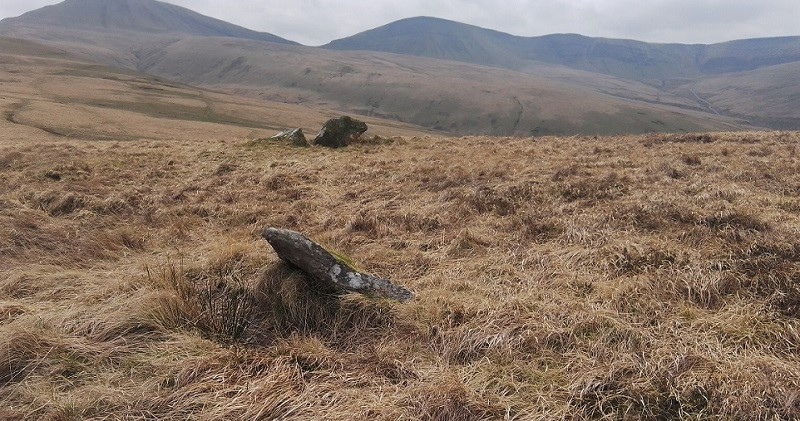








These are just the first 25 photos of Bannau Sir Gaer. If you log in with a free user account you will be able to see our entire collection.
Do not use the above information on other web sites or publications without permission of the contributor.
Click here to see more info for this site
Nearby sites
Key: Red: member's photo, Blue: 3rd party photo, Yellow: other image, Green: no photo - please go there and take one, Grey: site destroyed
Download sites to:
KML (Google Earth)
GPX (GPS waypoints)
CSV (Garmin/Navman)
CSV (Excel)
To unlock full downloads you need to sign up as a Contributory Member. Otherwise downloads are limited to 50 sites.
Turn off the page maps and other distractions
Nearby sites listing. In the following links * = Image available
303m N 6° Cwmothlwn Barrow* Cairn (SN809247)
440m NE 56° Waun Llwyd cairn* Cairn (SN81232464)
1.2km N 1° Bryn Elen round cairn* Round Cairn (SN80922562)
1.5km N 355° Arhosfar Garreg-Lwyd* Standing Stone (Menhir) (SN80762587)
1.5km ENE 68° Godre'r Garn Las Stone* Standing Stones (SN82292493)
1.6km N 355° Arhosfa'r Garreg-Lwyd Round Cairn* Round Cairn (SN80762597)
1.7km NNE 30° Nant Tarw Stone Row* Stone Row / Alignment (SN8176325873)
1.7km NE 34° Nant Tarw WNW* Stone Circle (SN81872583)
1.8km NE 37° Nant Tarw ESE* Stone Circle (SN81972578)
1.8km NE 36° Godre'r Garn Las Cairn* Cairn (SN81982587)
1.9km SE 132° Rhyd Wen Fach* Stone Circle (SN82232312)
1.9km ENE 78° Garn Las cairn 2* Cairn (SN82782476)
2.1km ENE 72° Garn Las cairn 1* Cairn (SN82872499)
2.1km NNW 346° Bylchau Blaenclydach Stone* Standing Stone (Menhir) (SN804265)
2.3km NE 49° Foel Derw cairn* Cairn (SN82662590)
2.4km SSE 147° Fan Foel Cairns* Round Cairn (SN8214722341)
2.6km S 172° Picws Du* Cairn (SN81172185)
2.8km SE 145° Twr-y-Fan Foel cairn* Cairn (SN82432206)
3.0km ENE 64° Troed Rhiw Wen standing stone* Standing Stone (Menhir) (SN83602567)
3.0km N 9° Bryn Pwllgerwyn Cairn* Cairn (SN81412738)
3.1km SE 146° Fan Brycheiniog* Cairn (SN82532179)
3.3km SE 141° Llyn y Fan Fawr* Standing Stones (SN82882180)
4.0km SW 229° Carn y Gigfran* Cairn (SN7778621863)
4.0km N 354° Mynydd Myddfai Stones* Standing Stones (SN80562843)
4.2km ESE 118° Moel Feity cairn* Cairn (SN8450722336)
View more nearby sites and additional images


 We would like to know more about this location. Please feel free to add a brief description and any relevant information in your own language.
 Wir möchten mehr über diese Stätte erfahren. Bitte zögern Sie nicht, eine kurze Beschreibung und relevante Informationen in Deutsch hinzuzufügen.
 Nous aimerions en savoir encore un peu sur les lieux. S'il vous plaît n'hesitez pas à ajouter une courte description et tous les renseignements pertinents dans votre propre langue.
 Quisieramos informarnos un poco más de las lugares. No dude en añadir una breve descripción y otros datos relevantes en su propio idioma.